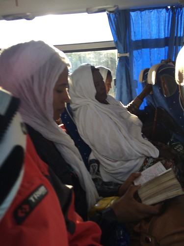
Elevation of Degem, Ethiopia
Location: Ethiopia > Oromia > North Shewa >
Longitude: 38.6166667
Latitude: 9.8333333
Elevation: 3011m / 9879feet
Barometric Pressure: 70KPa
Related Photos:
Topographic Map of Degem, Ethiopia
Find elevation by address:

Places near Degem, Ethiopia:
Fiche
Gebre Guracha
Portuguese Bridge - Ponte Portuguesa
North Shewa
Maketuri
Derba
Duber
Chancho
Sululta
Mulo
Mount Entoto
Yaya Africa Athletics Village
Tikur Abay Shoe Factory
Gulele
Embassy Of The United States Of America
Sendafa
Gulele 1/2
Taitu Street
Admas University
Raya Pension
Recent Searches:
- Elevation of Corso Fratelli Cairoli, 35, Macerata MC, Italy
- Elevation of Tallevast Rd, Sarasota, FL, USA
- Elevation of 4th St E, Sonoma, CA, USA
- Elevation of Black Hollow Rd, Pennsdale, PA, USA
- Elevation of Oakland Ave, Williamsport, PA, USA
- Elevation of Pedrógão Grande, Portugal
- Elevation of Klee Dr, Martinsburg, WV, USA
- Elevation of Via Roma, Pieranica CR, Italy
- Elevation of Tavkvetili Mountain, Georgia
- Elevation of Hartfords Bluff Cir, Mt Pleasant, SC, USA

