Elevation of Defoor Ct, Indian Trail, NC, USA
Location: United States > North Carolina > Union County > Vance > Indian Trail >
Longitude: -80.6642722
Latitude: 35.0313988
Elevation: 201m / 659feet
Barometric Pressure: 0KPa
Related Photos:

Storm Over Barn
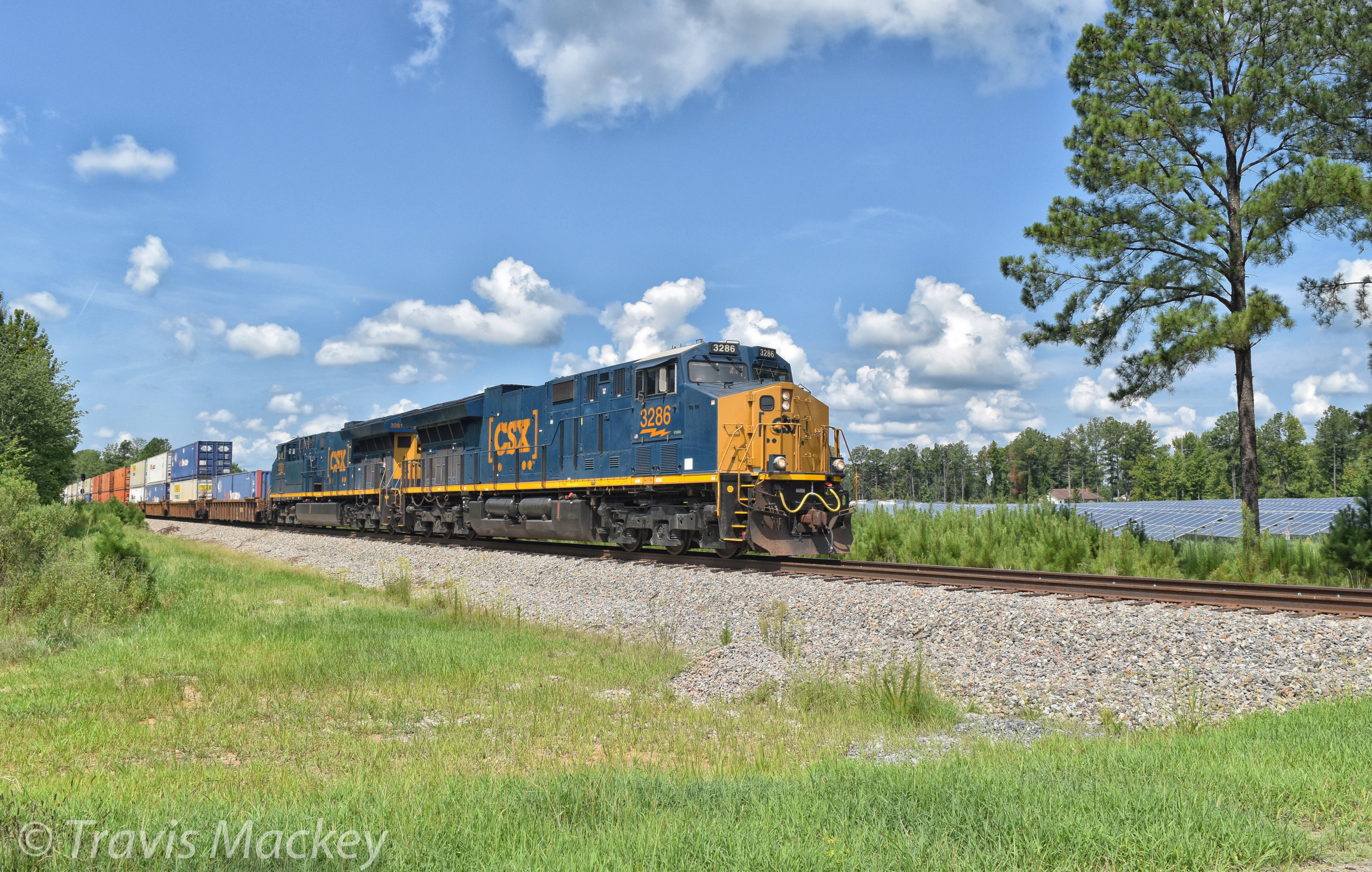
CSX Q581-05 at Monroe Holdout

Hay Wesley Chapel! (for YahooWX)

This ain't Texas (HDR)

DSC_0247-1

Mama moo

4 Mile Creek. Charlotte
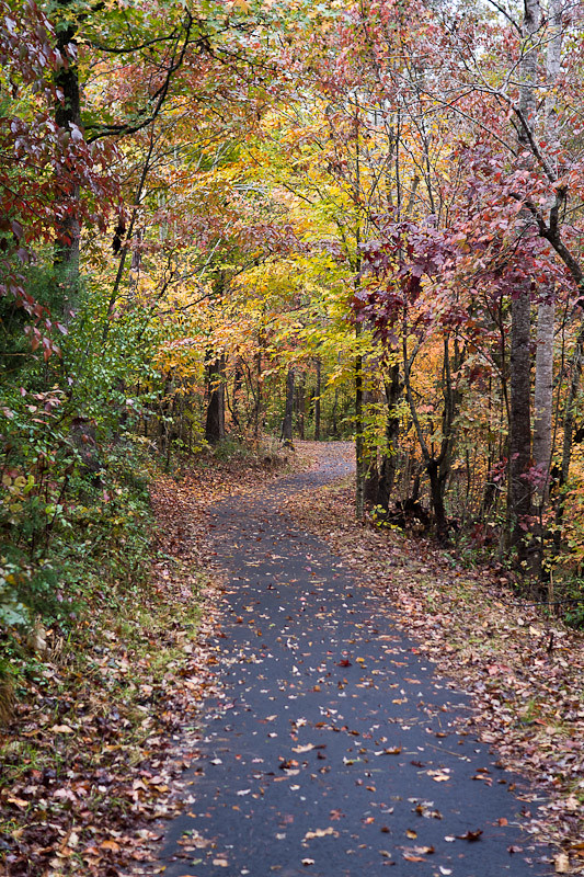
Dead End Street
Project 365 Day 5

Doris_DxO / PS CS6

The Queen City
The Boat Rentals-HDR

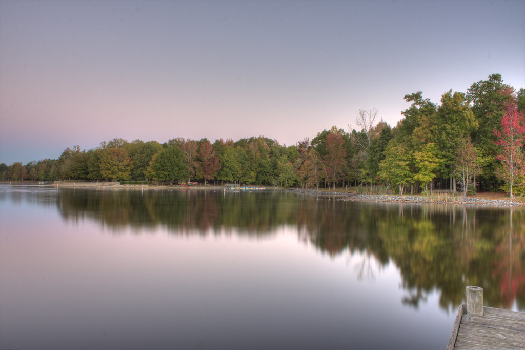
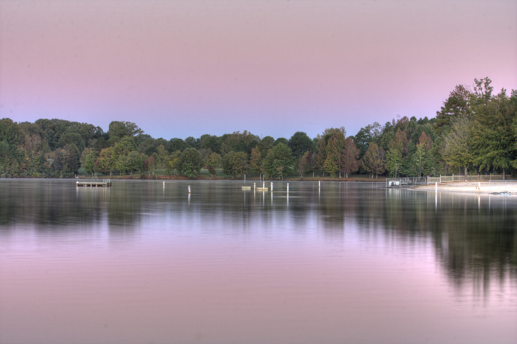
October Morning Reflection

A Spring Scene at the Marsh

Riders-on-the-storm
Our morning walk
Cane Creek-HDR

Cane Creek Boat Rentals-HDR
The Raft-HDR

After the Storm

Sunset Colors
Topographic Map of Defoor Ct, Indian Trail, NC, USA
Find elevation by address:

Places near Defoor Ct, Indian Trail, NC, USA:
905 Woodhurst Dr
905 Woodhurst Dr
905 Woodhurst Dr
3016 Thorndale Rd
901 Pilgrim Forest Dr
3021 Thorndale Rd
816 Pilgrim Forest Dr
200 Hugh Crocker Rd
320 Jim Parker Rd
5004 Cedar Park Ct
318 Wellington Dr
Wesley Chapel
Price Point Dr, Monroe, NC, USA
6012 Trafalgar Ct
133 Canterbury Ln
200 Dundin Pl
1012 Garden Rose Ct
Cobble Creek Drive
Wesley Chapel Village Commons
Indian Trail
Recent Searches:
- Elevation of 10370, West 107th Circle, Westminster, Jefferson County, Colorado, 80021, USA
- Elevation of 611, Roman Road, Old Ford, Bow, London, England, E3 2RW, United Kingdom
- Elevation of 116, Beartown Road, Underhill, Chittenden County, Vermont, 05489, USA
- Elevation of Window Rock, Colfax County, New Mexico, 87714, USA
- Elevation of 4807, Rosecroft Street, Kempsville Gardens, Virginia Beach, Virginia, 23464, USA
- Elevation map of Matawinie, Quebec, Canada
- Elevation of Sainte-Émélie-de-l'Énergie, Matawinie, Quebec, Canada
- Elevation of Rue du Pont, Sainte-Émélie-de-l'Énergie, Matawinie, Quebec, J0K2K0, Canada
- Elevation of 8, Rue de Bécancour, Blainville, Thérèse-De Blainville, Quebec, J7B1N2, Canada
- Elevation of Wilmot Court North, 163, University Avenue West, Northdale, Waterloo, Region of Waterloo, Ontario, N2L6B6, Canada
- Elevation map of Panamá Province, Panama
- Elevation of Balboa, Panamá Province, Panama
- Elevation of San Miguel, Balboa, Panamá Province, Panama
- Elevation of Isla Gibraleón, San Miguel, Balboa, Panamá Province, Panama
- Elevation of 4655, Krischke Road, Schulenburg, Fayette County, Texas, 78956, USA
- Elevation of Carnegie Avenue, Downtown Cleveland, Cleveland, Cuyahoga County, Ohio, 44115, USA
- Elevation of Walhonding, Coshocton County, Ohio, USA
- Elevation of Clifton Down, Clifton, Bristol, City of Bristol, England, BS8 3HU, United Kingdom
- Elevation map of Auvergne-Rhône-Alpes, France
- Elevation map of Upper Savoy, Auvergne-Rhône-Alpes, France