Elevation of Deer Isle Transfer Station, Quaco Rd, Deer Isle, ME, USA
Location: United States > Maine > Hancock County > Deer Isle >
Longitude: -68.660259
Latitude: 44.2369065
Elevation: 39m / 128feet
Barometric Pressure: 101KPa
Elevation Map:
Satellite Map:
Related Photos:
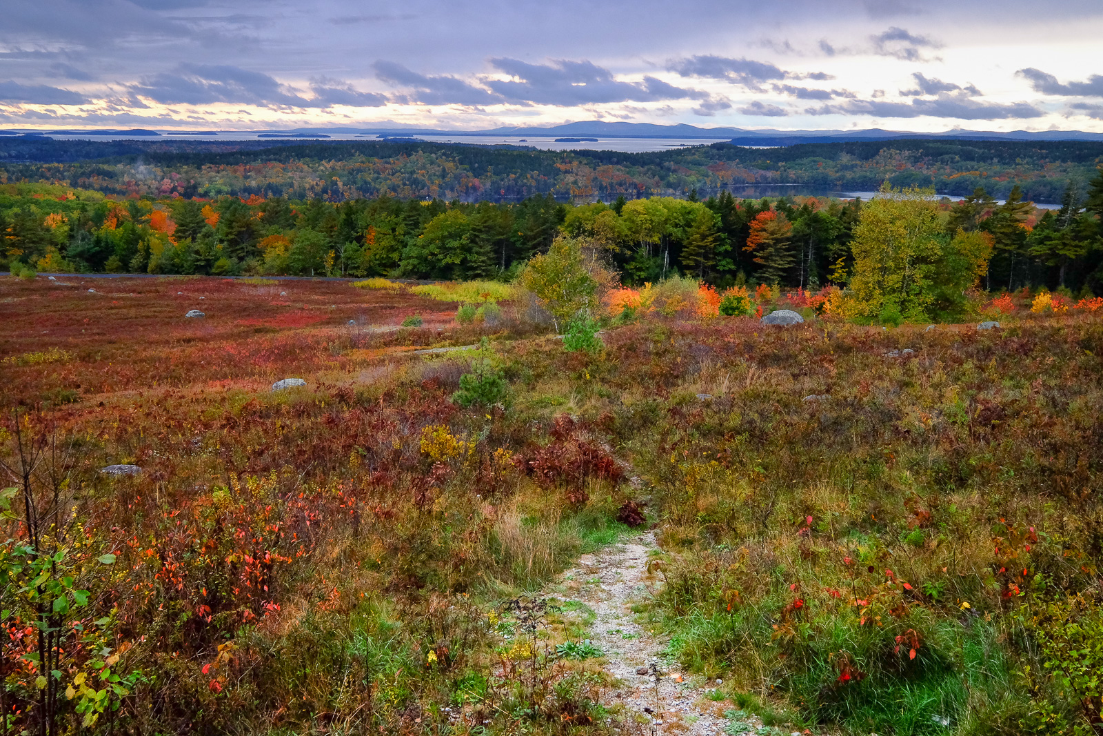
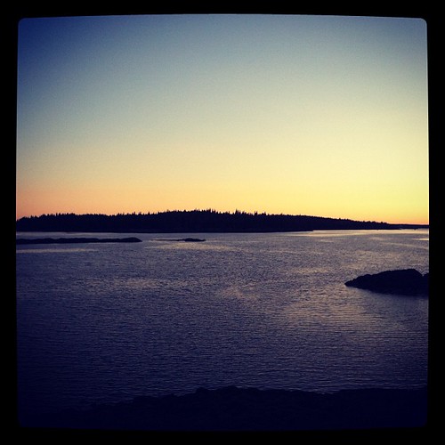
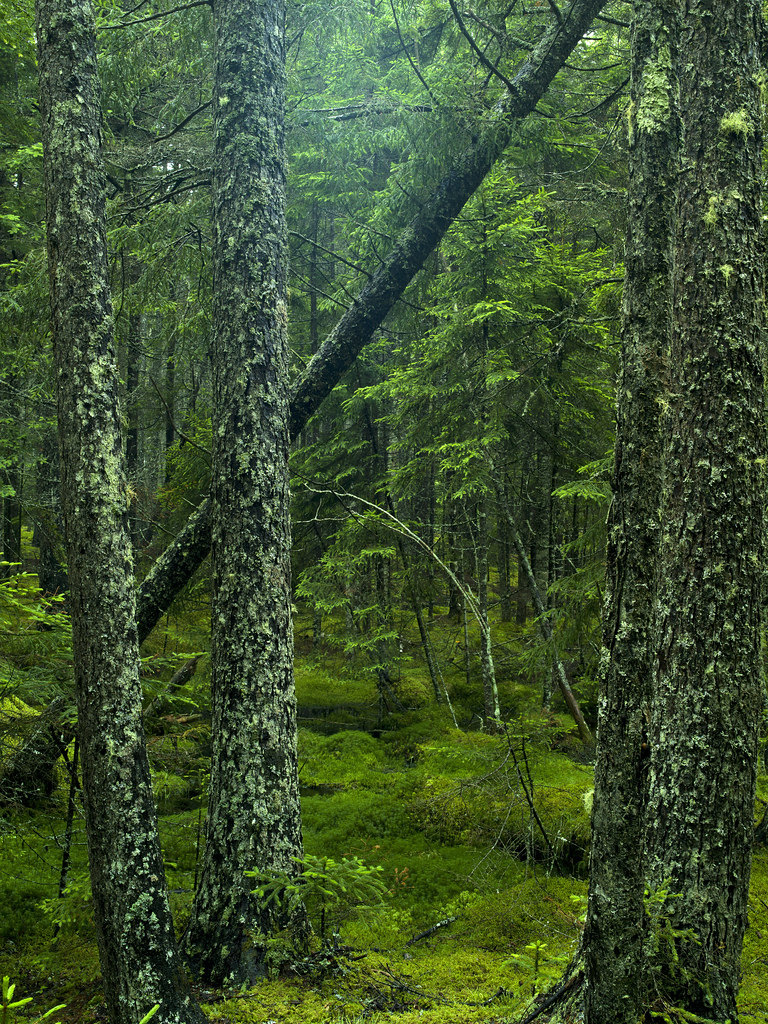
View from Caterpillar Hill
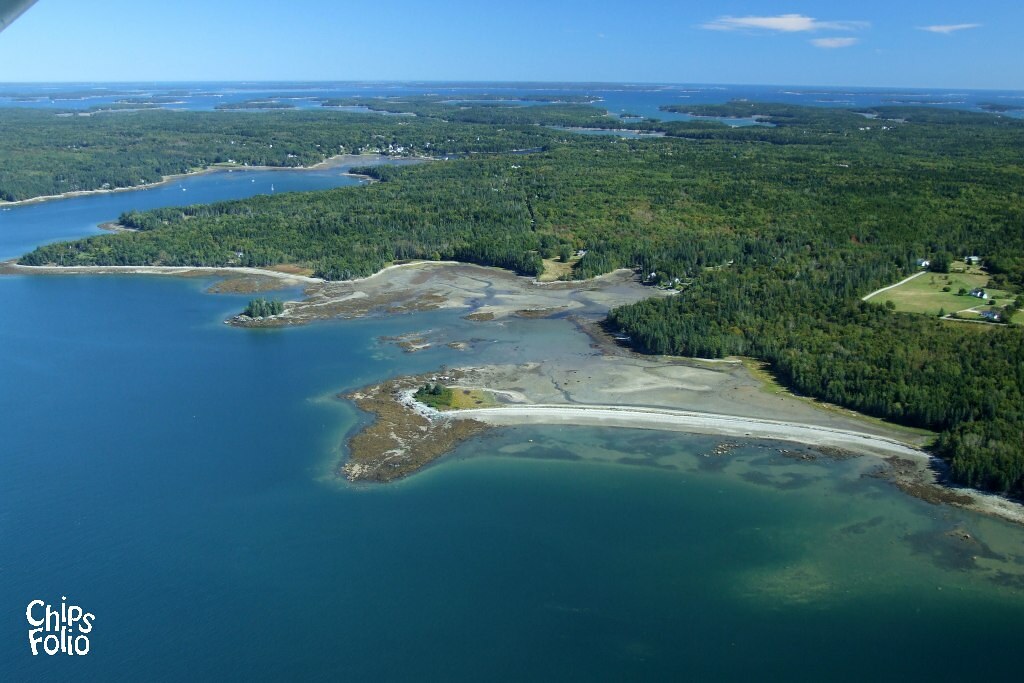
Aerial View of Deer Isle, Maine
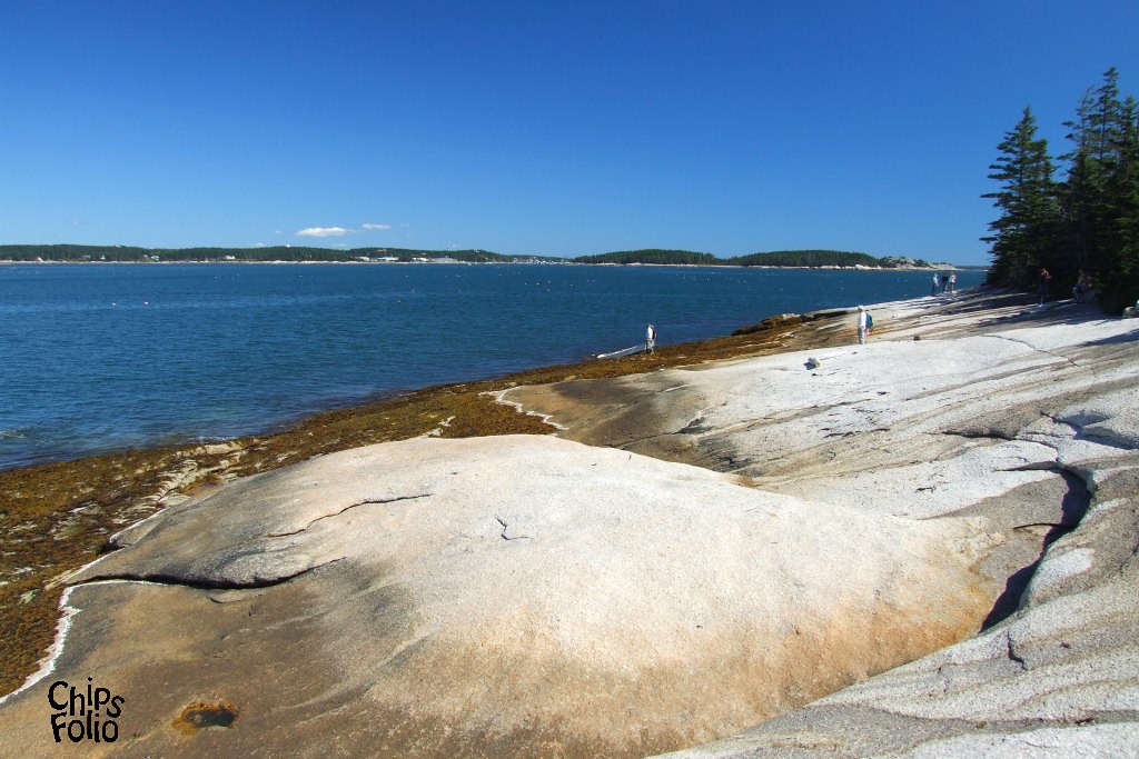
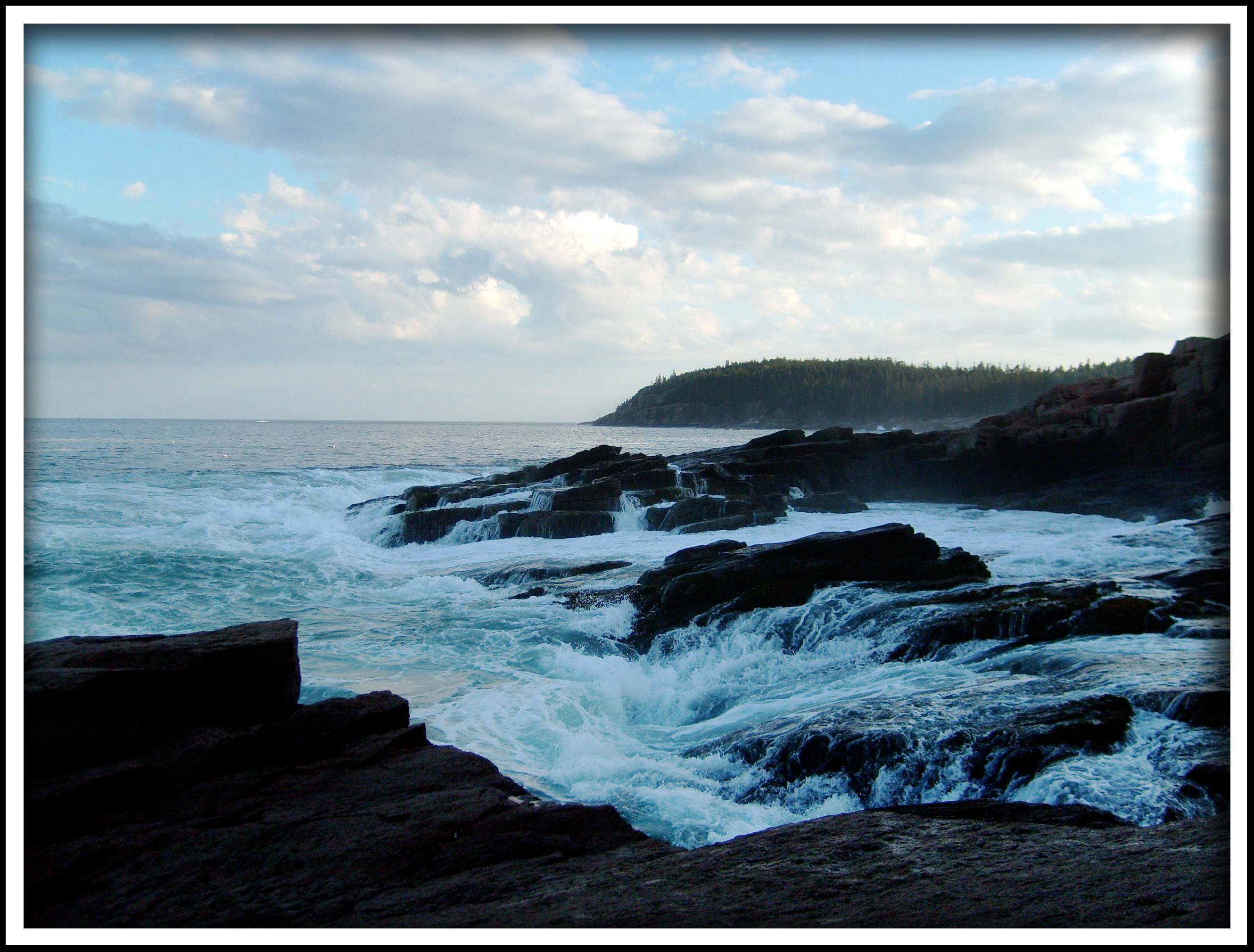
View from the Mark Island Shore towards Stonington Maine

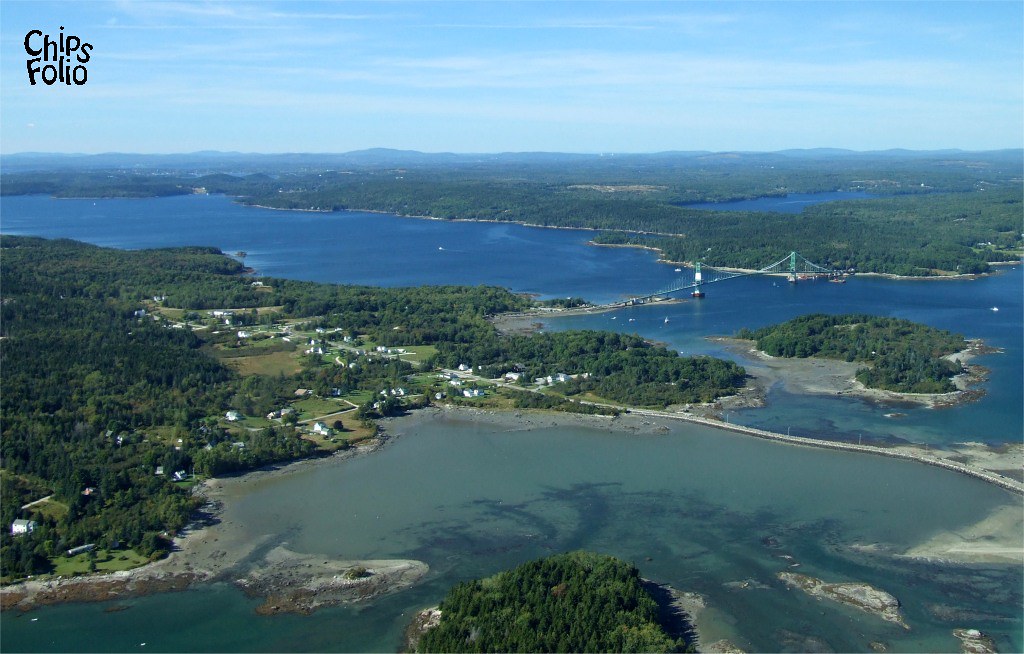
Aerial View (1) of the Deer Isle - Sedgwick Bridge
Aerial View of Little Deer Isle and the Deer Isle - Sedgwick Bridge

good morning
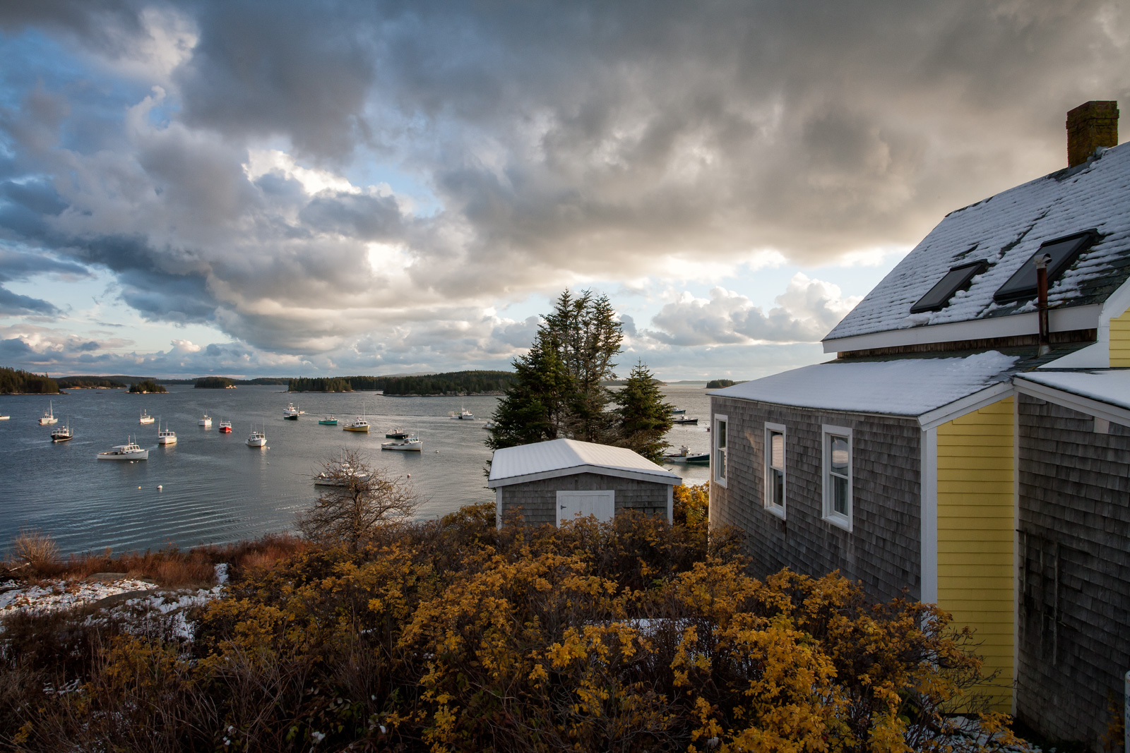
Autumn harbor view
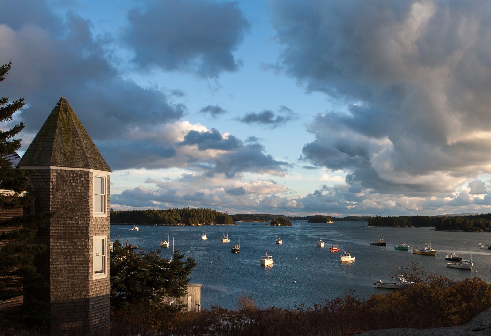
Harbor view, Stonington
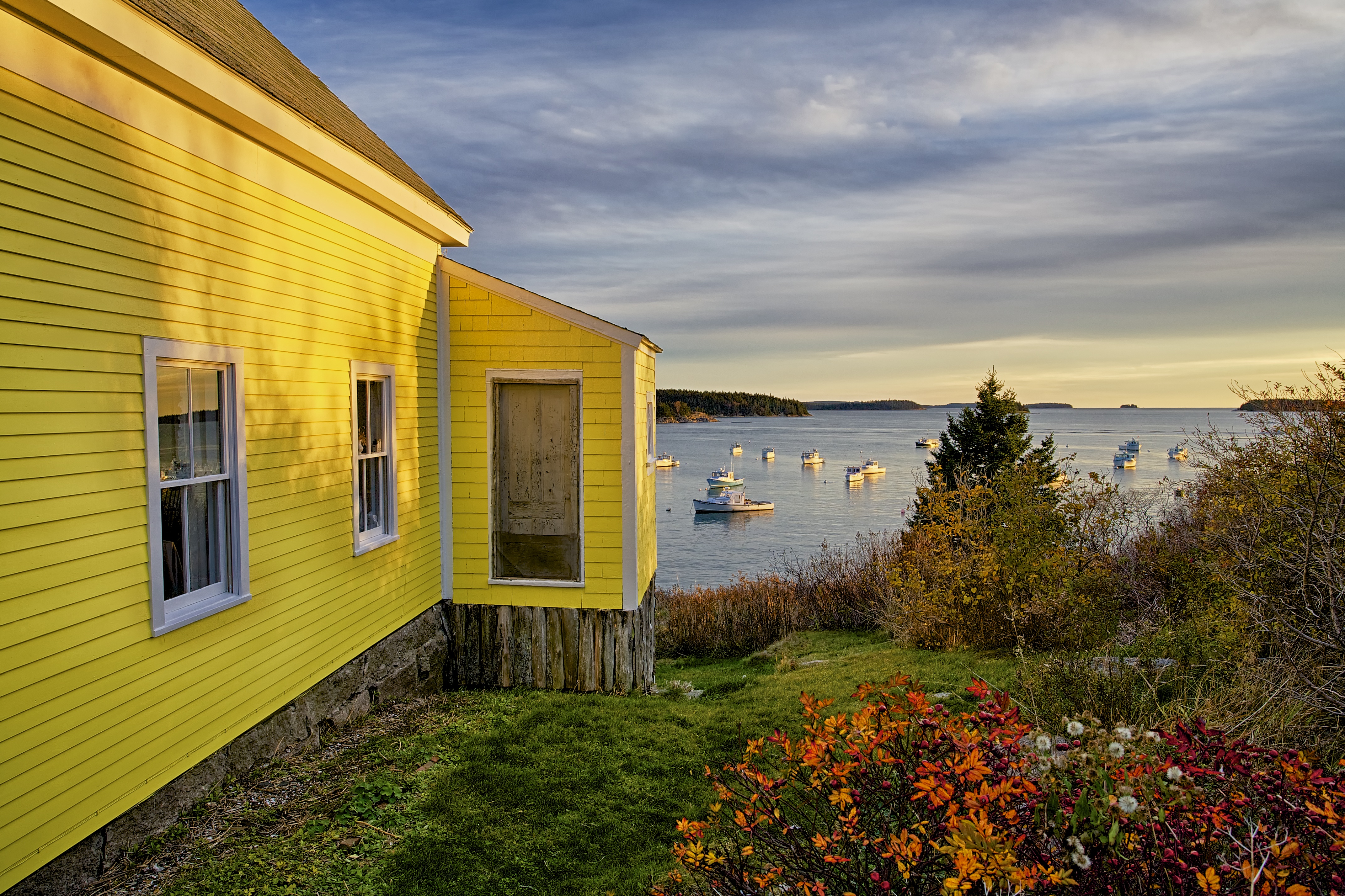
Fresh paint

Harbor view, Stonington
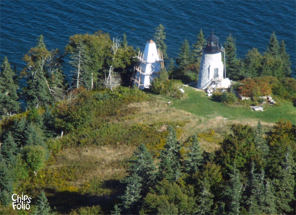
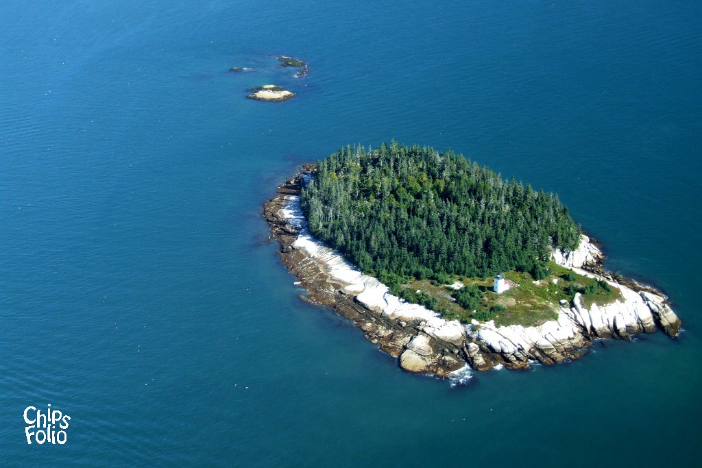
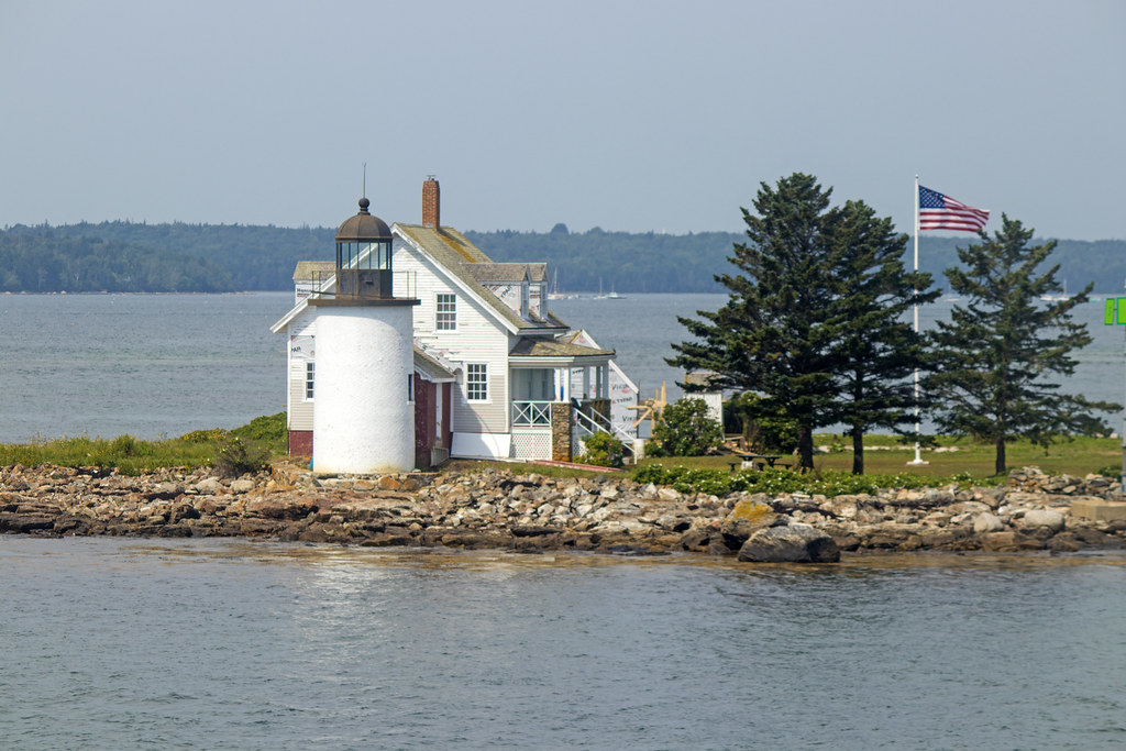
Aerial View of Eagle Island Light

Campsite view
Aerial View (2) of Mark Island Light
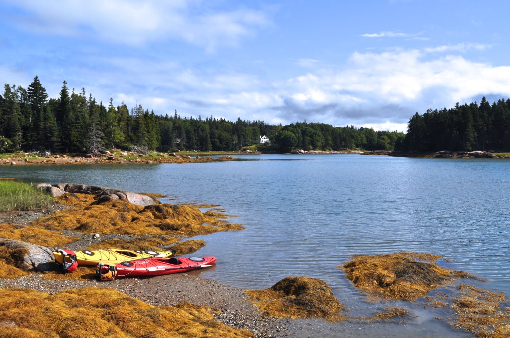
Island camping view

Hardhead Island in northeastern Penobscot Bay, Maine
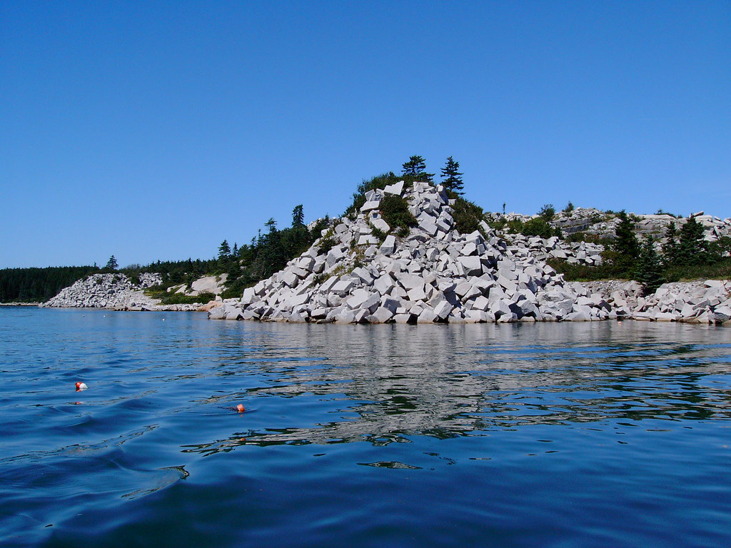
Crotch Island, off Stonington, Maine (1)

Sunken boat at the Crotch Island quarries, off Stonington, Maine (1)
View from Big Hay Island

Blue Hill Light
Distant View of Mark Island Light from Sand Beach, Stonington, Maine

R_20090831181356_162-Edit
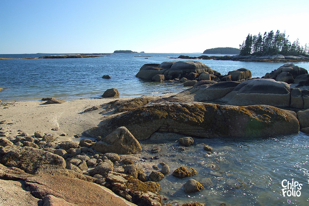
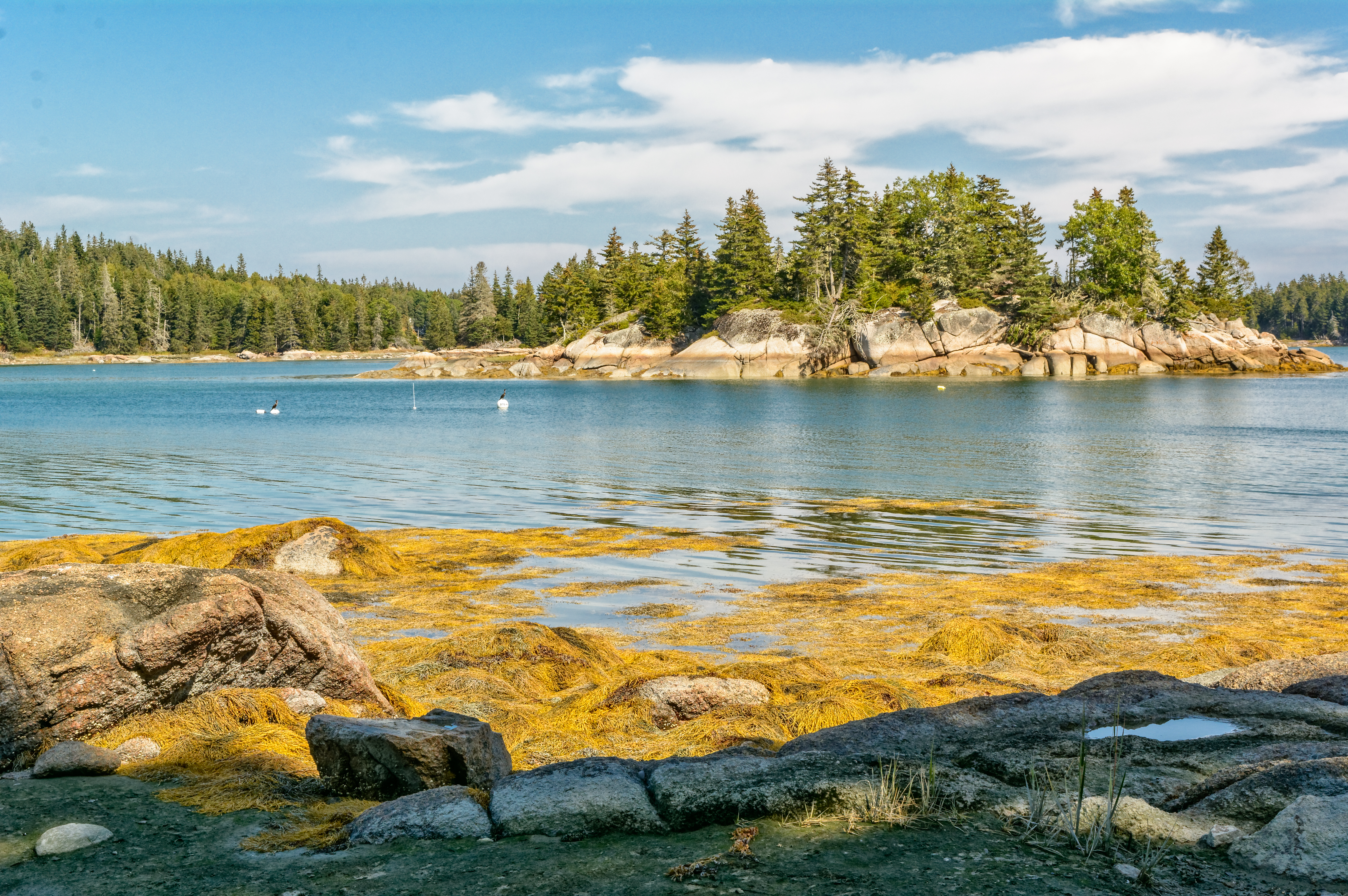
Shore and islands
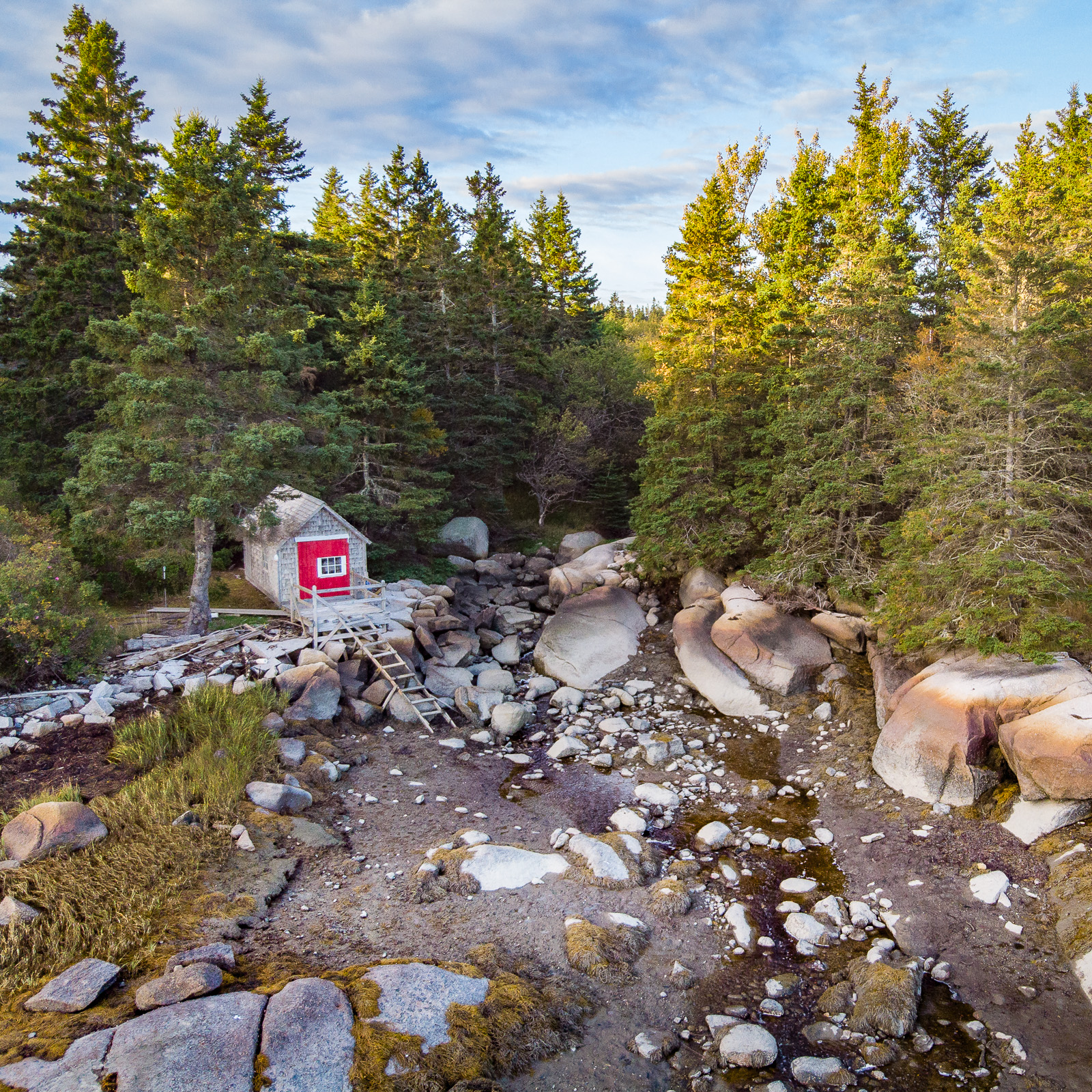
Low tide boathouse
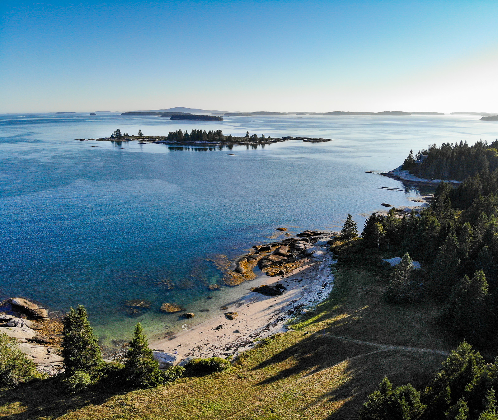
Above Conary Cove
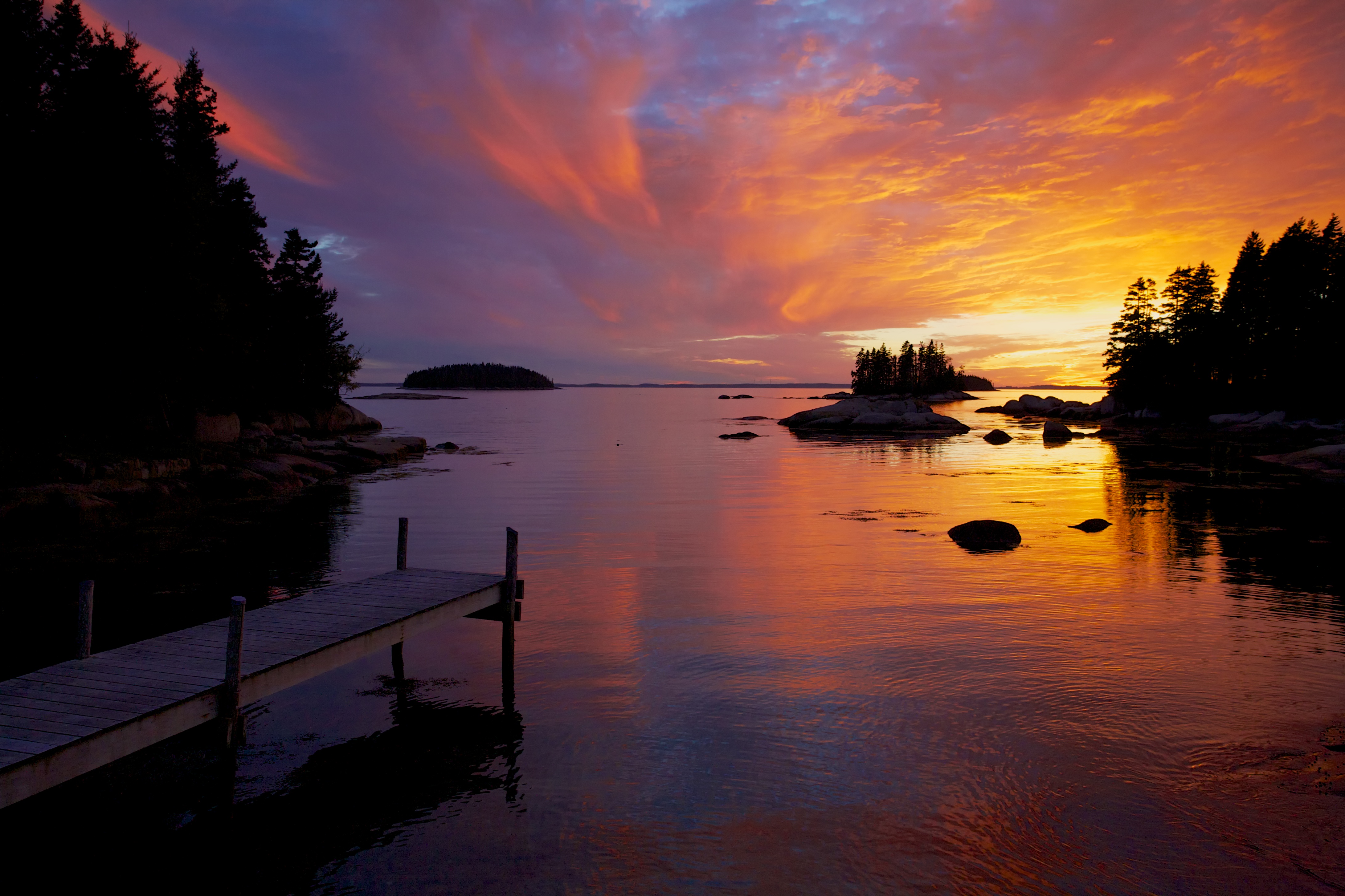
Dock near Sand Beach, sunset
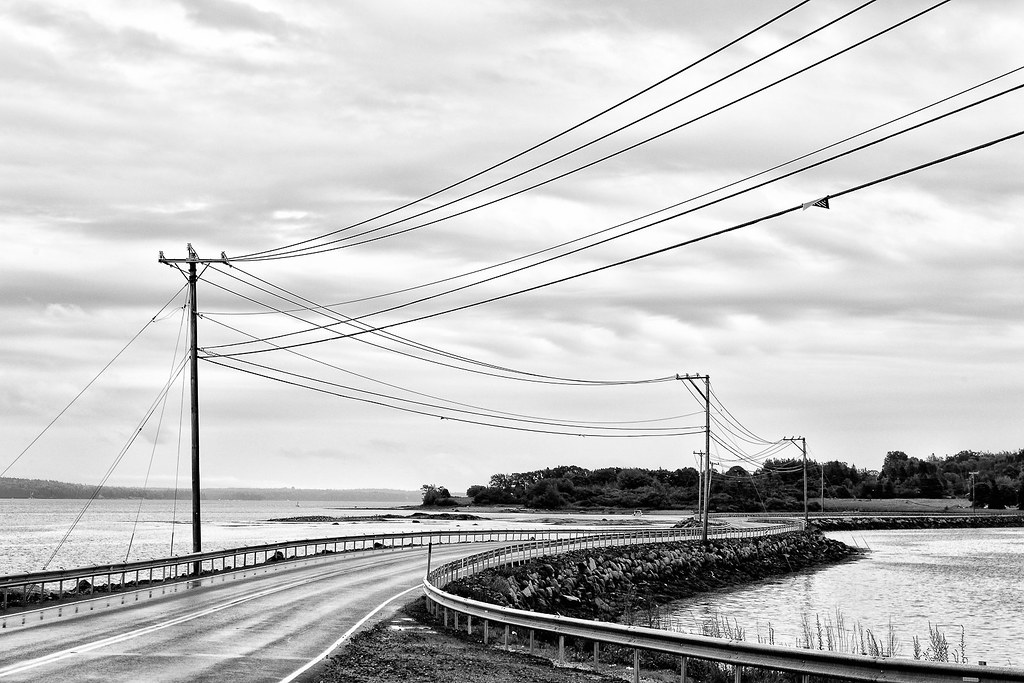
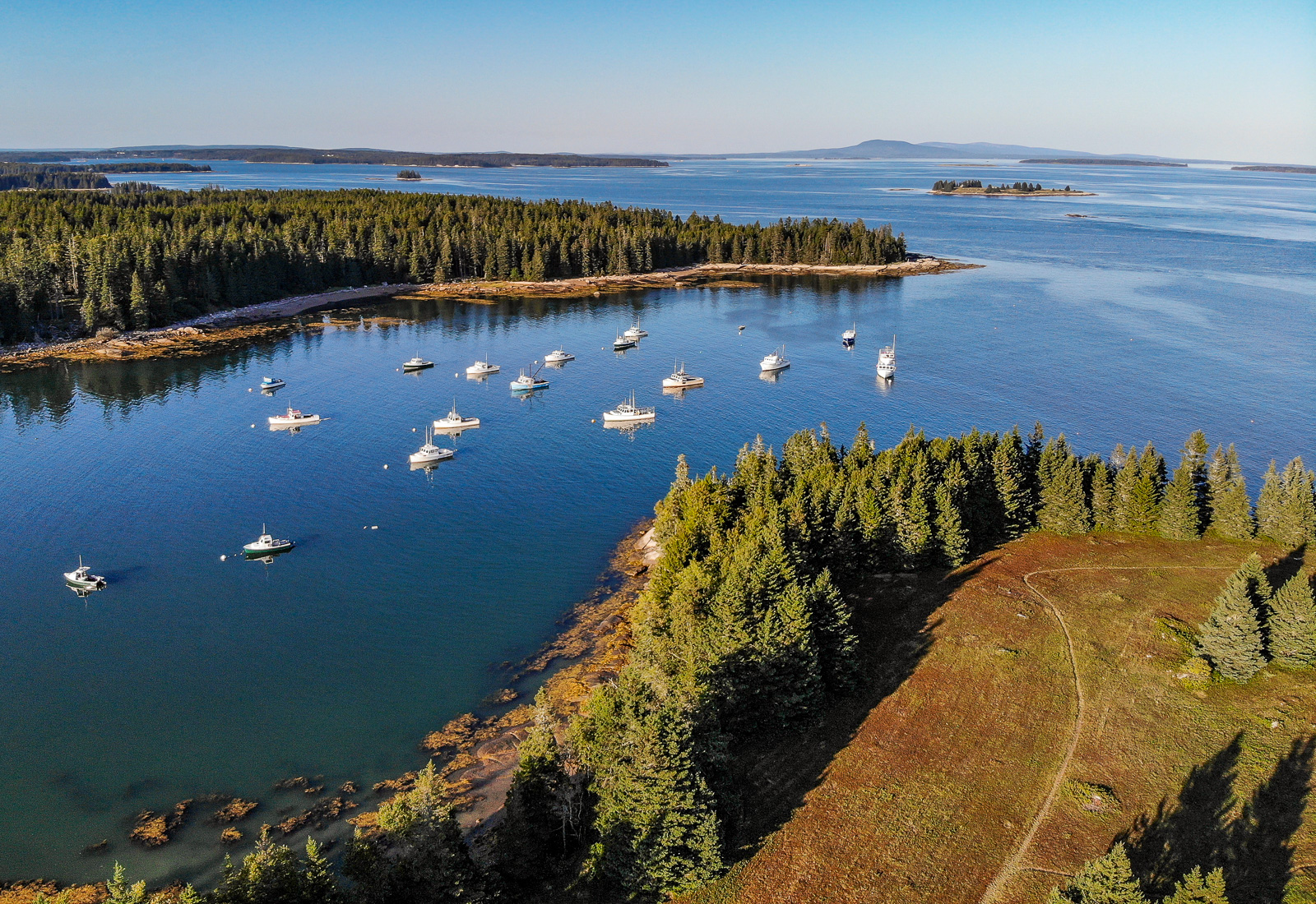
(drive) ... on the water
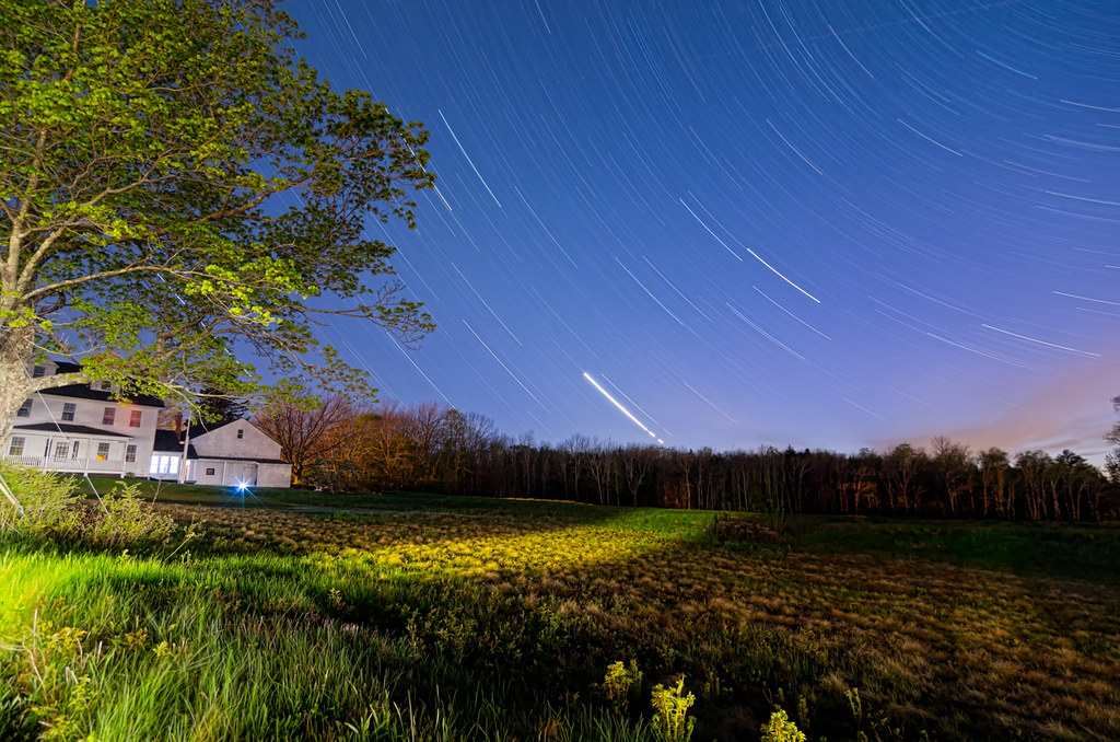
Star Trails over Deer Isle 7482

Turbulent Skies
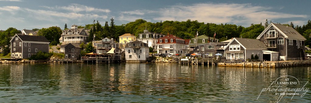
The Charm of Stonington
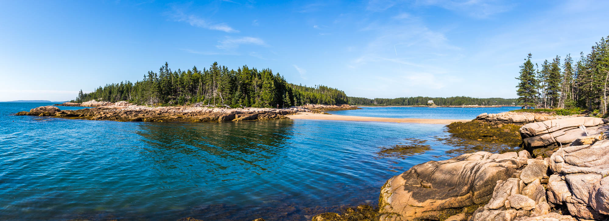
Barred Island Preserve
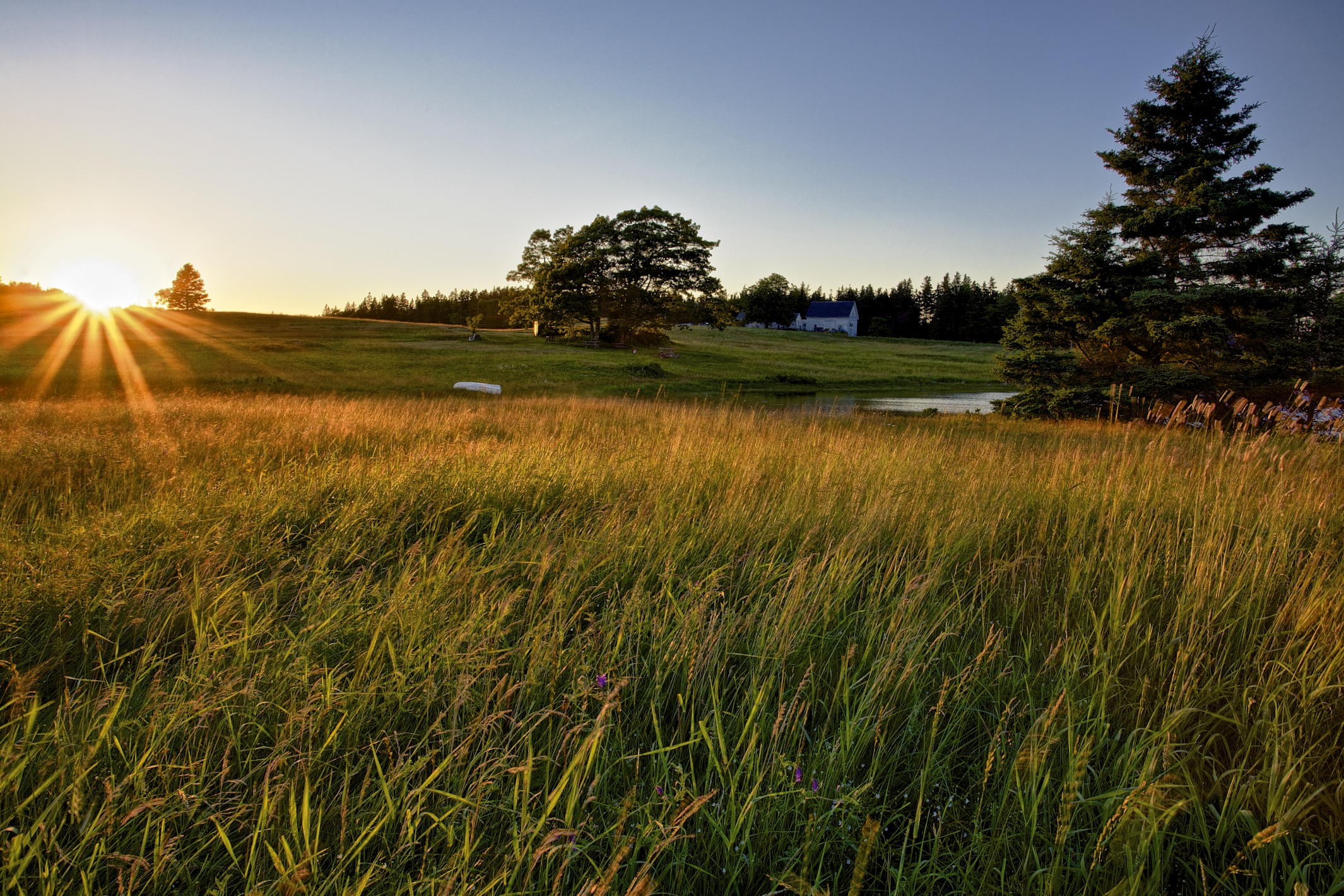
Perfect Front Yard
Sunshine road

Barred Island Preserve
Barred Island
Blue Hill Bay Lighthouse, near Brooklin, Maine
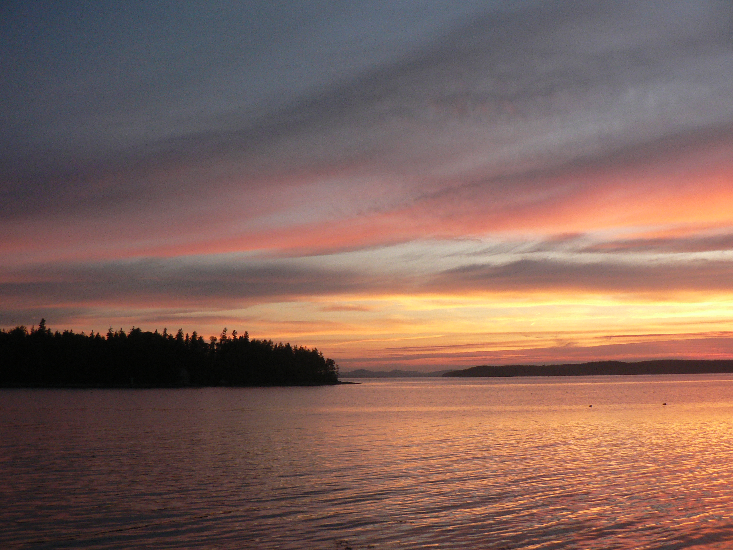
Thresholds sunset - Little Deer Isle ME 20090721 066
Big Hay Island 3920
Thresholds sunset - Little Deer Isle ME 20090711 034
Topographic Map of Deer Isle Transfer Station, Quaco Rd, Deer Isle, ME, USA
Find elevation by address:

Places near Deer Isle Transfer Station, Quaco Rd, Deer Isle, ME, USA:
King Row
118 N Deer Isle Rd
2 Greenlaw District Rd
Deer Isle
121 Reach Rd
100 Reach Rd
137 Reach Rd
137 Reach Rd
137 Reach Rd
137 Reach Rd
137 Reach Rd
137 Reach Rd
137 Reach Rd
137 Reach Rd
137 Reach Rd
Blastows Cove Road
French Camp Road
56 Reach Rd
56 Reach Rd
56 Reach Rd
Recent Searches:
- Elevation of Corso Fratelli Cairoli, 35, Macerata MC, Italy
- Elevation of Tallevast Rd, Sarasota, FL, USA
- Elevation of 4th St E, Sonoma, CA, USA
- Elevation of Black Hollow Rd, Pennsdale, PA, USA
- Elevation of Oakland Ave, Williamsport, PA, USA
- Elevation of Pedrógão Grande, Portugal
- Elevation of Klee Dr, Martinsburg, WV, USA
- Elevation of Via Roma, Pieranica CR, Italy
- Elevation of Tavkvetili Mountain, Georgia
- Elevation of Hartfords Bluff Cir, Mt Pleasant, SC, USA