Elevation of Deer Creek Township, PA, USA
Location: United States > Pennsylvania > Mercer County >
Longitude: -80.131692
Latitude: 41.4657091
Elevation: 424m / 1391feet
Barometric Pressure: 96KPa
Elevation Map:
Satellite Map:
Related Photos:

DSC02694_A2.
best view in the world

Mini Hoops

Candy Apples

A view at French Creek
view back to the barn
Stopped due to Weather
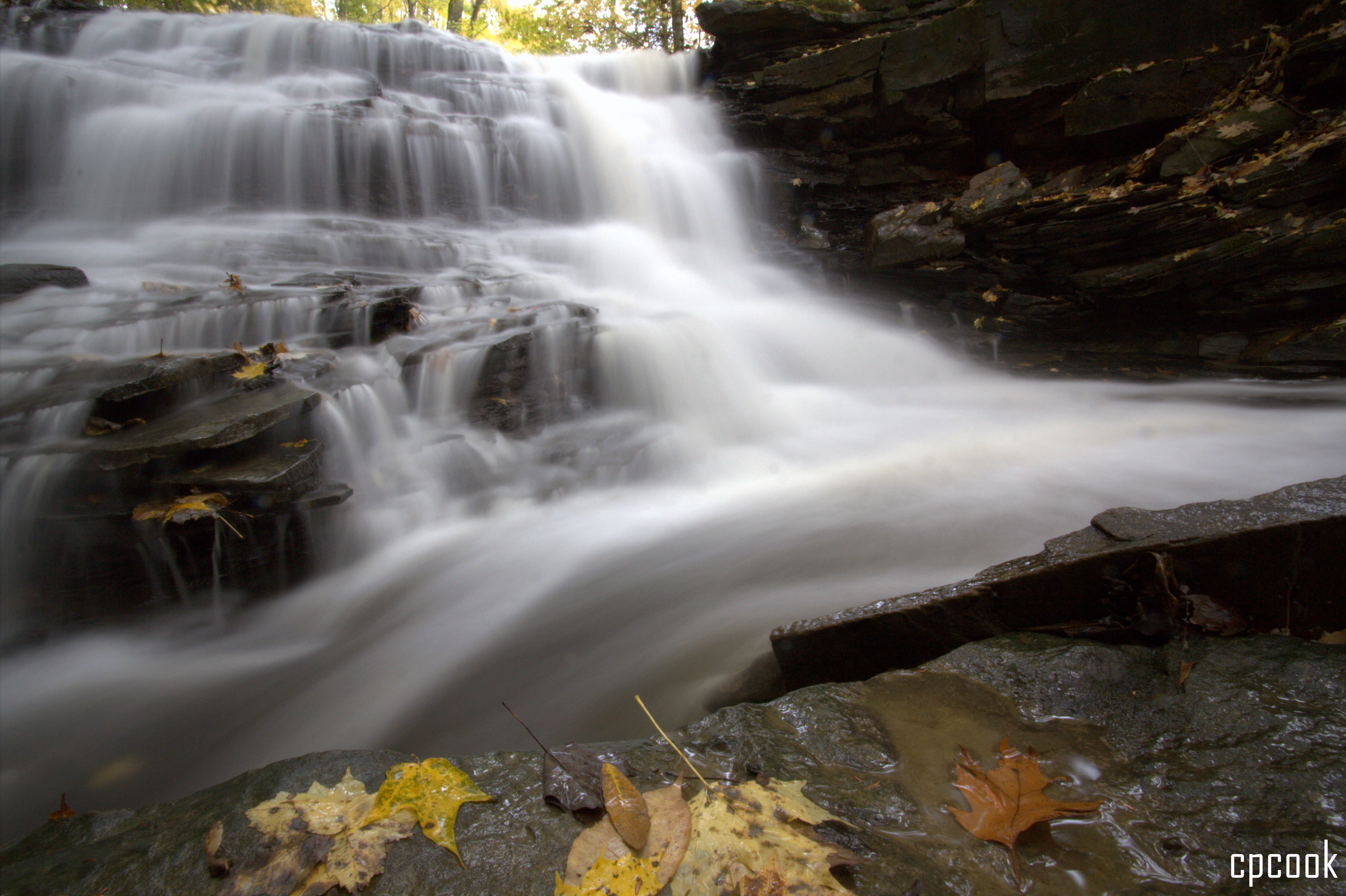
Waterfall in the fall

Changing Skies at Sunset (in HDR)
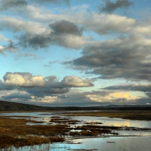
Pennsylvania #Pennsylvania #instagram #instamood #instanaturelover #landscapelovers #cloudporn #htcevo4glte #HTC #skyporn #skylovers #webstagram #weatherchannel #gramfeed #Android #andriodography #driveby #drivebyphotog

Sunset in HDR

Leaves at their peak
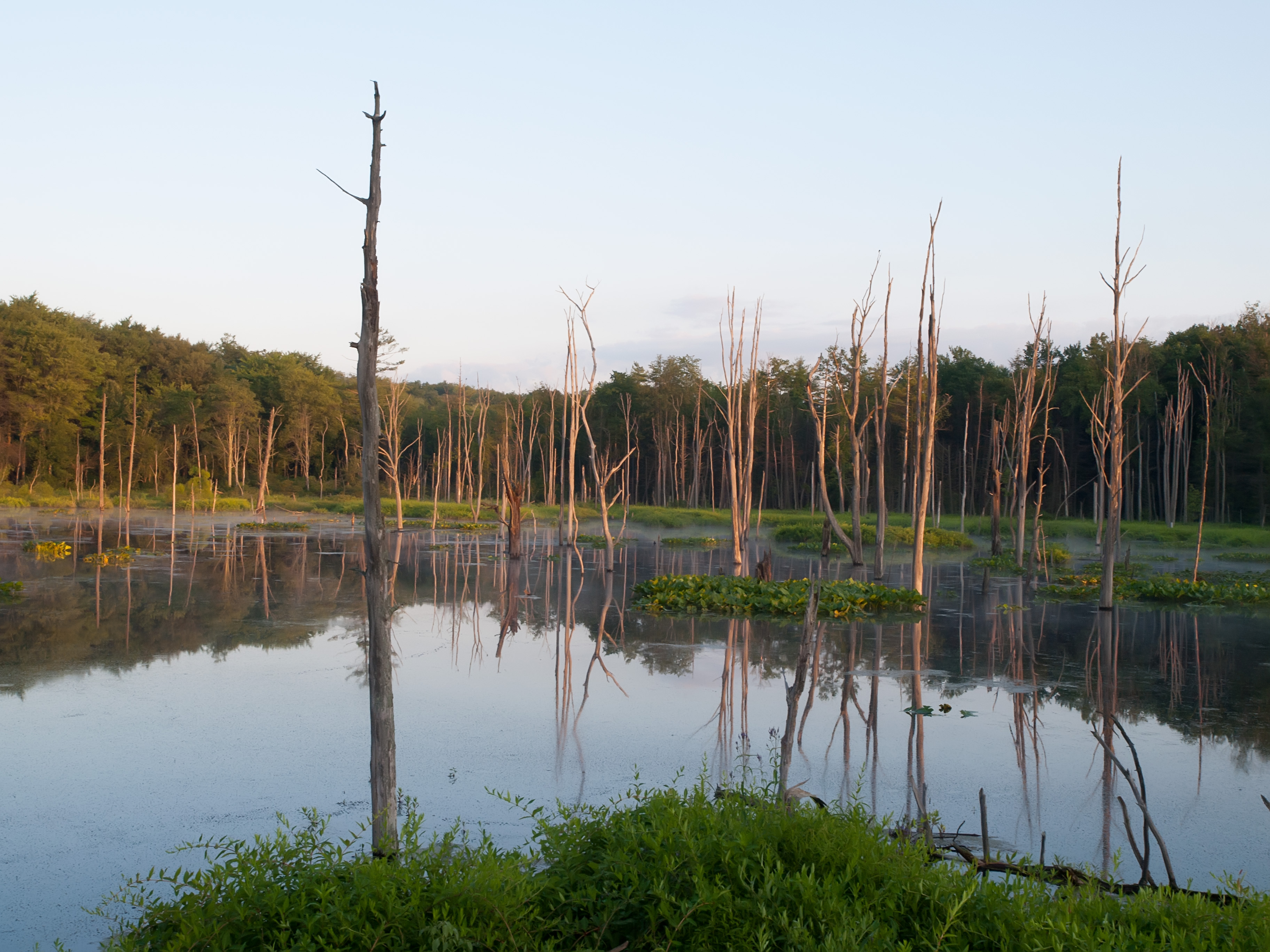
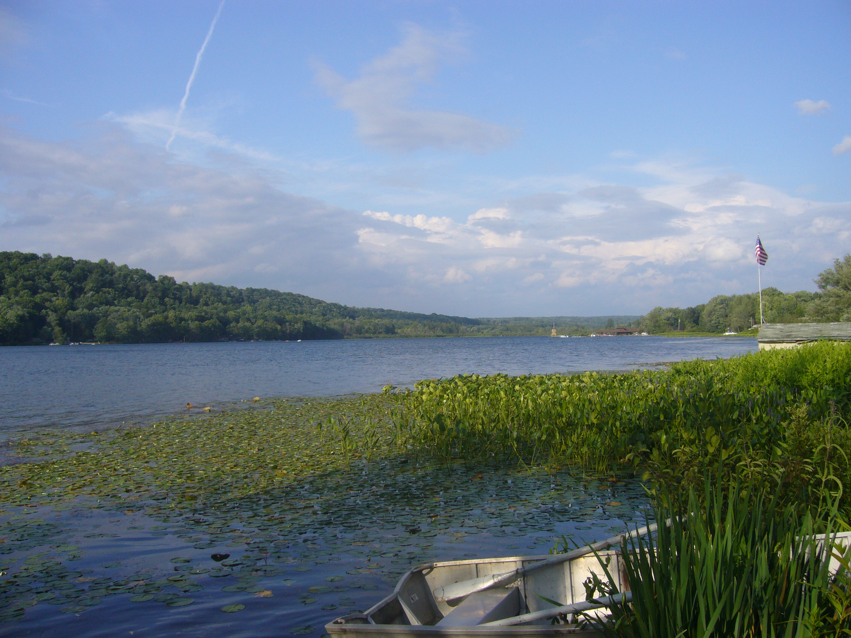
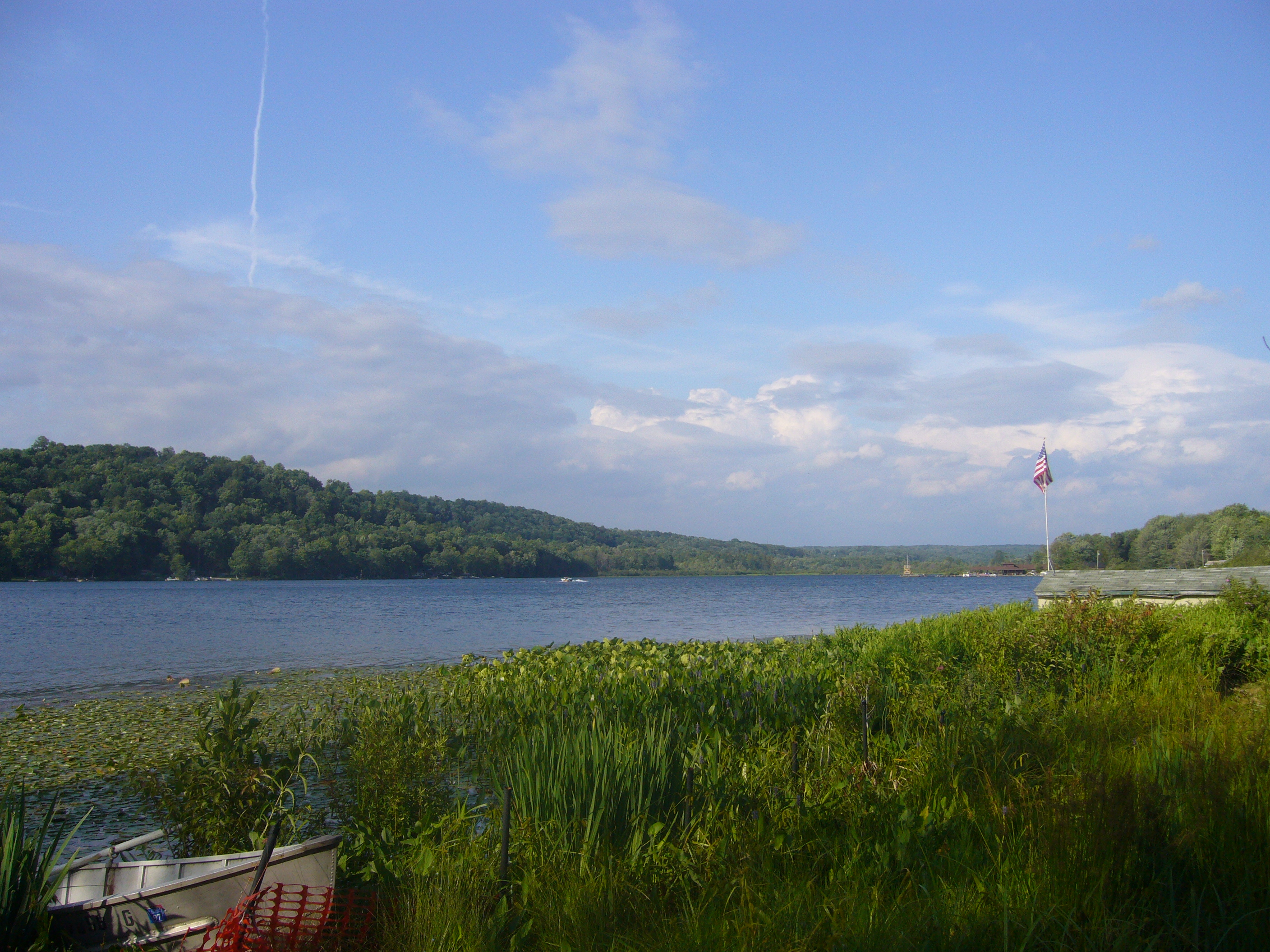
lake wilhelm wetlands
Beautiful Clouds

Lincoln's Sparrow

Storm, Sunset Over Cornfield

Sunset (in HDR)
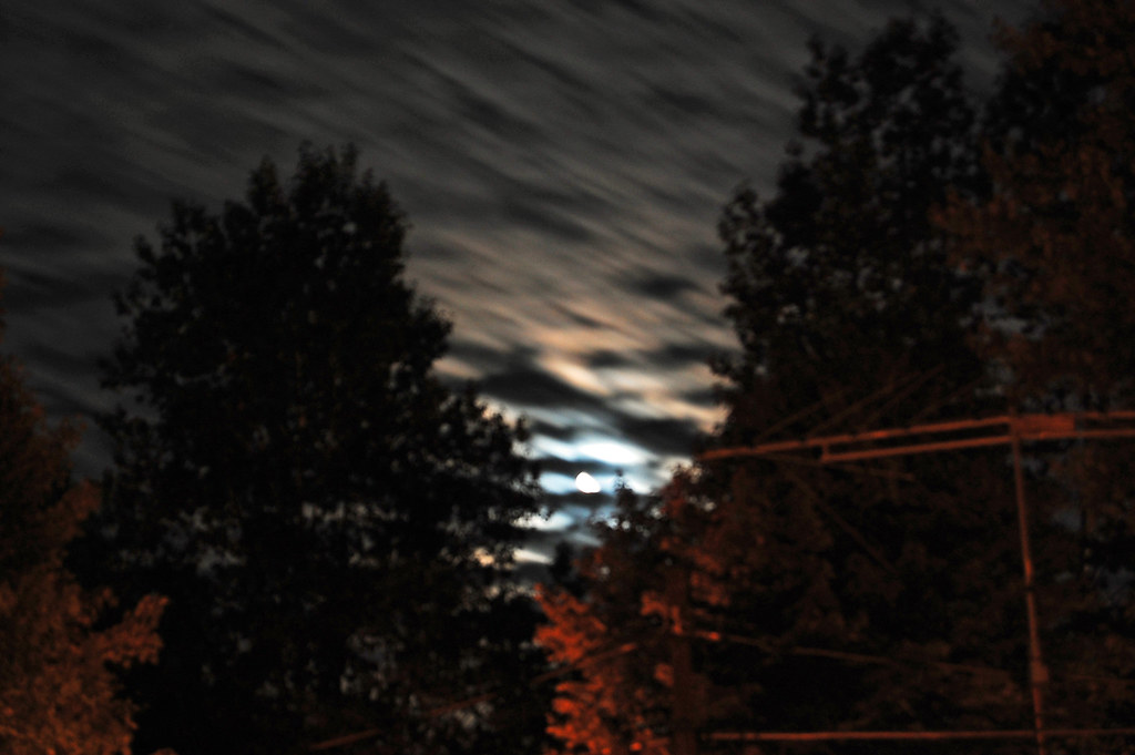
Sun and Clouds through the trees - HDR
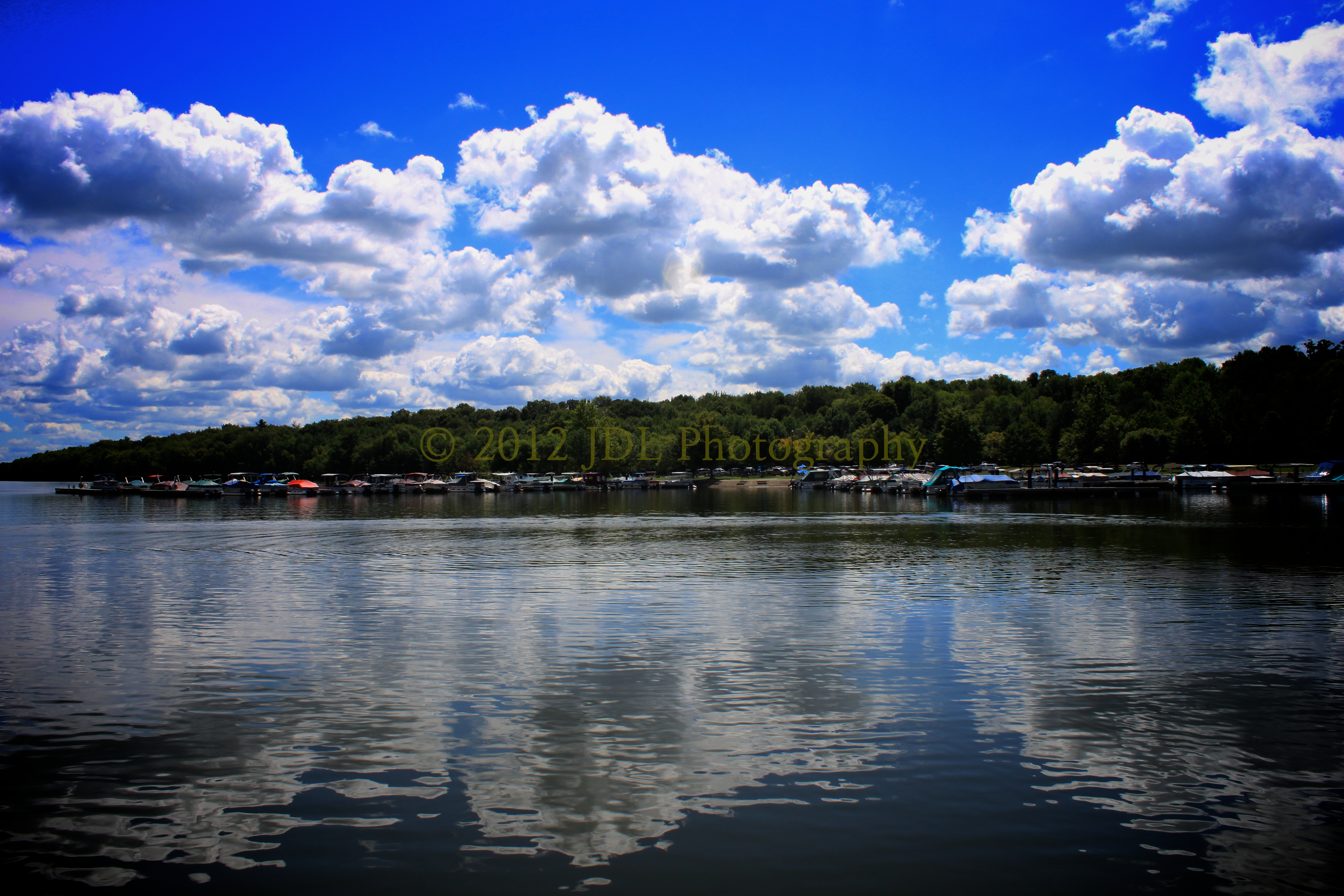
Lake Wilhelm
Lake 09 123

Least Flycatcher

More Stars and Trees.

Stars and Trees

Henslow's Sparrow, Crawford County, PA, 5/14/14
Lake 09 118
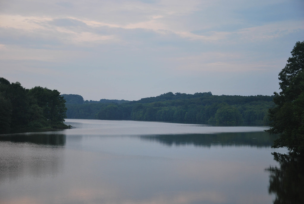
Maurice K. Goddard State Park
Night Sky
Topographic Map of Deer Creek Township, PA, USA
Find elevation by address:

Places near Deer Creek Township, PA, USA:
311 Grange Rd
223 Grange Rd
Mill Creek Township
Sandy Lake
Stoneboro
465 Klein Rd
Utica
Canal Township
2128 Utica Rd
Mineral Township
3046 Jackson Center Polk Rd
Polk
Main St, Polk, PA, USA
PA-, Franklin, PA, USA
Sugarcreek
178 Sandstone Dr
Pecan Valley Rd, Polk, PA, USA
746 15th St
Franklin
750 Congress Hill Rd
Recent Searches:
- Elevation of Corso Fratelli Cairoli, 35, Macerata MC, Italy
- Elevation of Tallevast Rd, Sarasota, FL, USA
- Elevation of 4th St E, Sonoma, CA, USA
- Elevation of Black Hollow Rd, Pennsdale, PA, USA
- Elevation of Oakland Ave, Williamsport, PA, USA
- Elevation of Pedrógão Grande, Portugal
- Elevation of Klee Dr, Martinsburg, WV, USA
- Elevation of Via Roma, Pieranica CR, Italy
- Elevation of Tavkvetili Mountain, Georgia
- Elevation of Hartfords Bluff Cir, Mt Pleasant, SC, USA