Elevation of Deer Creek Rd, Hulett, WY, USA
Location: United States > Wyoming > Crook County > Hulett >
Longitude: -104.53997
Latitude: 44.8180137
Elevation: -10000m / -32808feet
Barometric Pressure: 295KPa
Elevation Map:
Satellite Map:
Related Photos:

2017-09-18 first view of Devil's Tower
View from the top

Wyoming View

Highway Views

Hulett Hailer

Hulett Belle Fourche river (3)

Here's Look'in AtYa
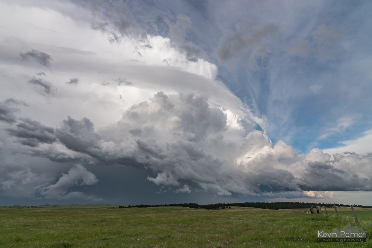
Grassland Supercell

A break in the storms

It's rocky at the bottom.

Black Hills overlook
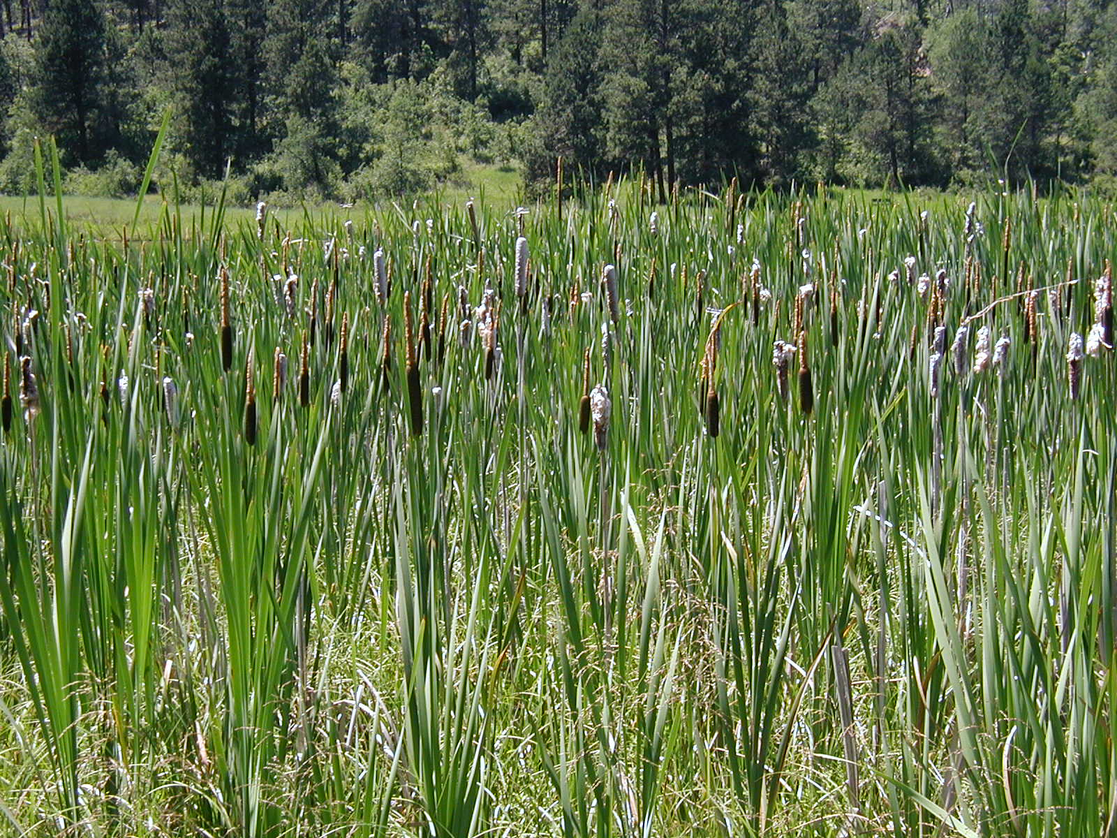
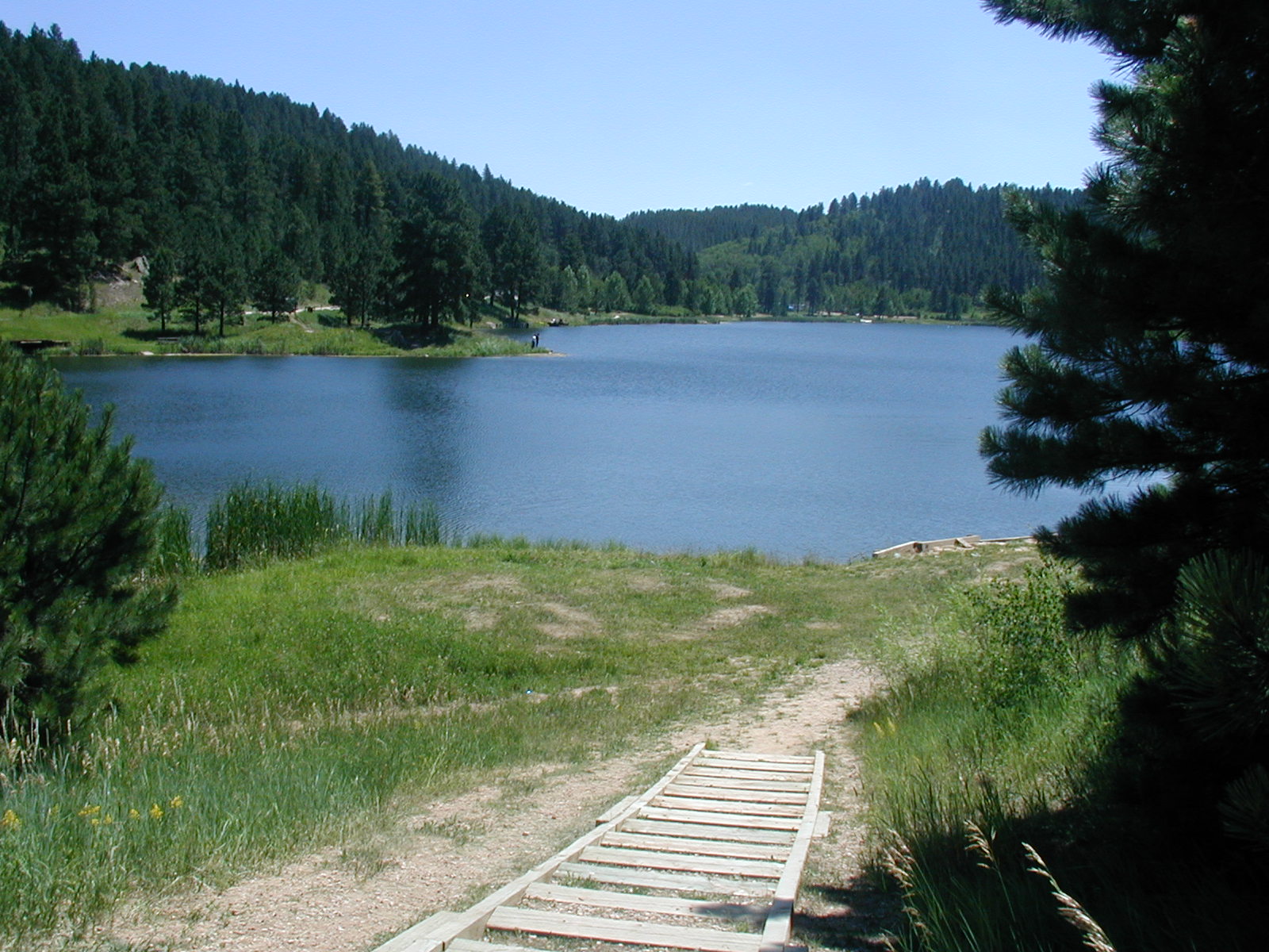
Cattails at Cook Lake

Black Hills creek

Black Hills Landscape (Crook County, Wyoming)

Seely, Wyoming

Along the highway to Hulett
Topographic Map of Deer Creek Rd, Hulett, WY, USA
Find elevation by address:

Places near Deer Creek Rd, Hulett, WY, USA:
377 Deer Creek Rd
Buck Creek
Main St, Hulett, WY, USA
Hulett
Devils Tower / Black Hills Koa
Devils Tower
Devils Tower National Monument
Mule Creek Road
Crook County
Bear Lodge Mountain
Aladdin
Carlile
83 N 21st St
Sundance
208 Bear Claw Trail
Beulah
29 Mule Creek Dr
29 Mule Creek Dr
Pine Haven
24 Waters Dr, Pine Haven, WY, USA
Recent Searches:
- Elevation of Corso Fratelli Cairoli, 35, Macerata MC, Italy
- Elevation of Tallevast Rd, Sarasota, FL, USA
- Elevation of 4th St E, Sonoma, CA, USA
- Elevation of Black Hollow Rd, Pennsdale, PA, USA
- Elevation of Oakland Ave, Williamsport, PA, USA
- Elevation of Pedrógão Grande, Portugal
- Elevation of Klee Dr, Martinsburg, WV, USA
- Elevation of Via Roma, Pieranica CR, Italy
- Elevation of Tavkvetili Mountain, Georgia
- Elevation of Hartfords Bluff Cir, Mt Pleasant, SC, USA