Elevation of Davie County, NC, USA
Location:
United States >
North Carolina >
| Latitude | 35.9367033 |
|---|---|
| Longitude | -80.5882803 |
| Elevation | 248m / 814feet |
| Barometric Pressure | 984KPa |
Related Photos:
Office view
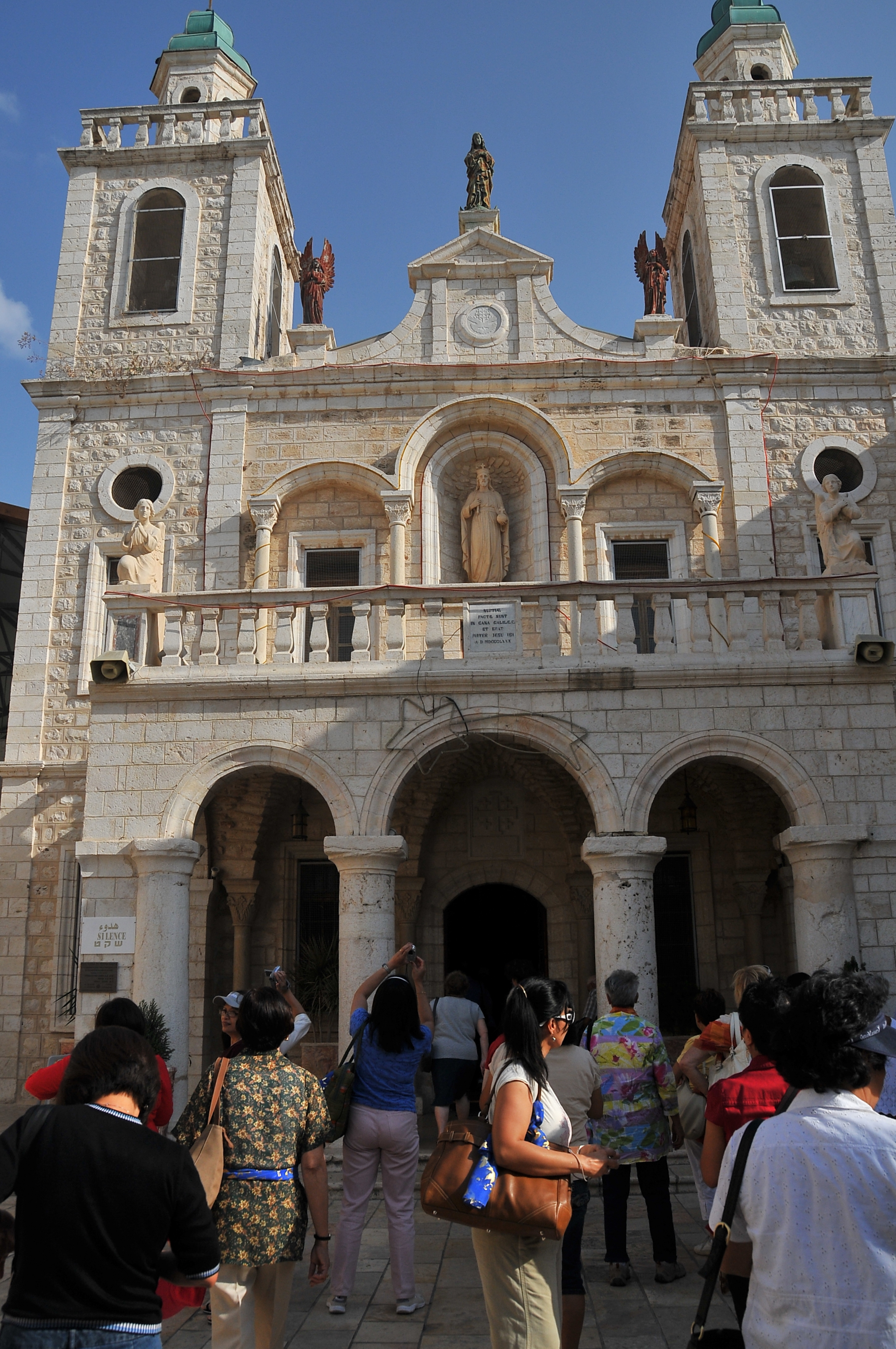
Wedding at Cana ... of Jesus?
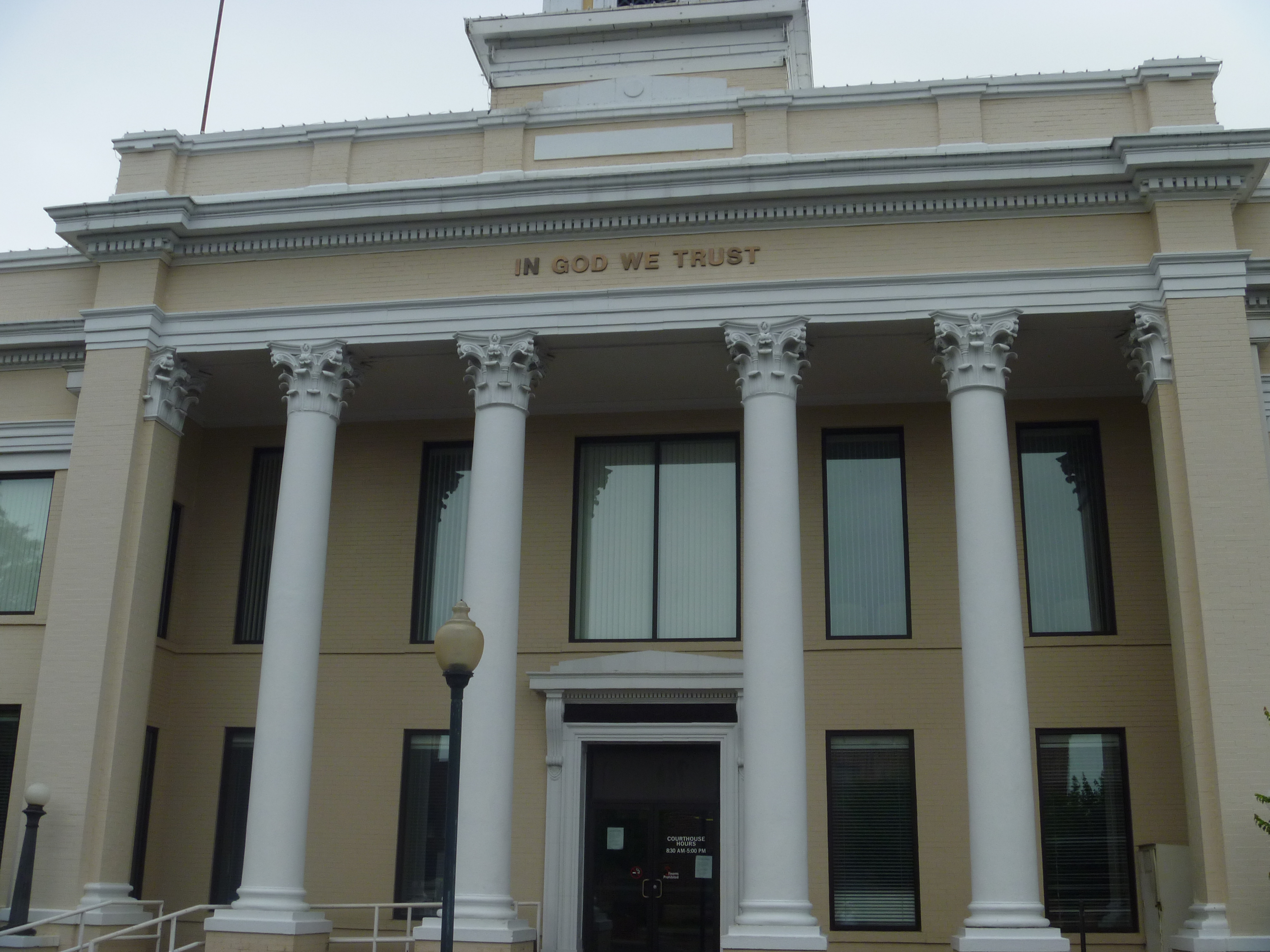
Front View, Davie County Courthouse
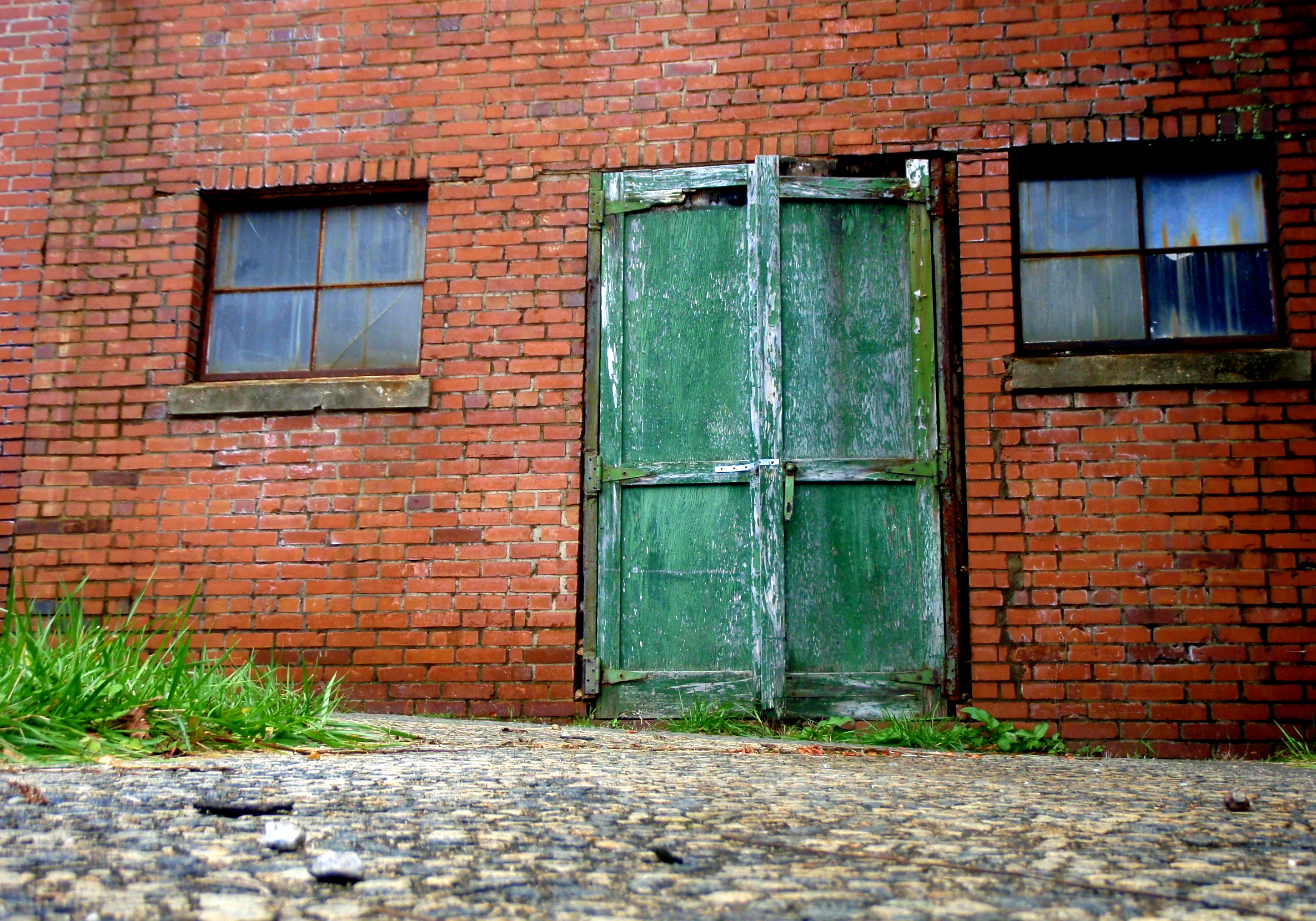
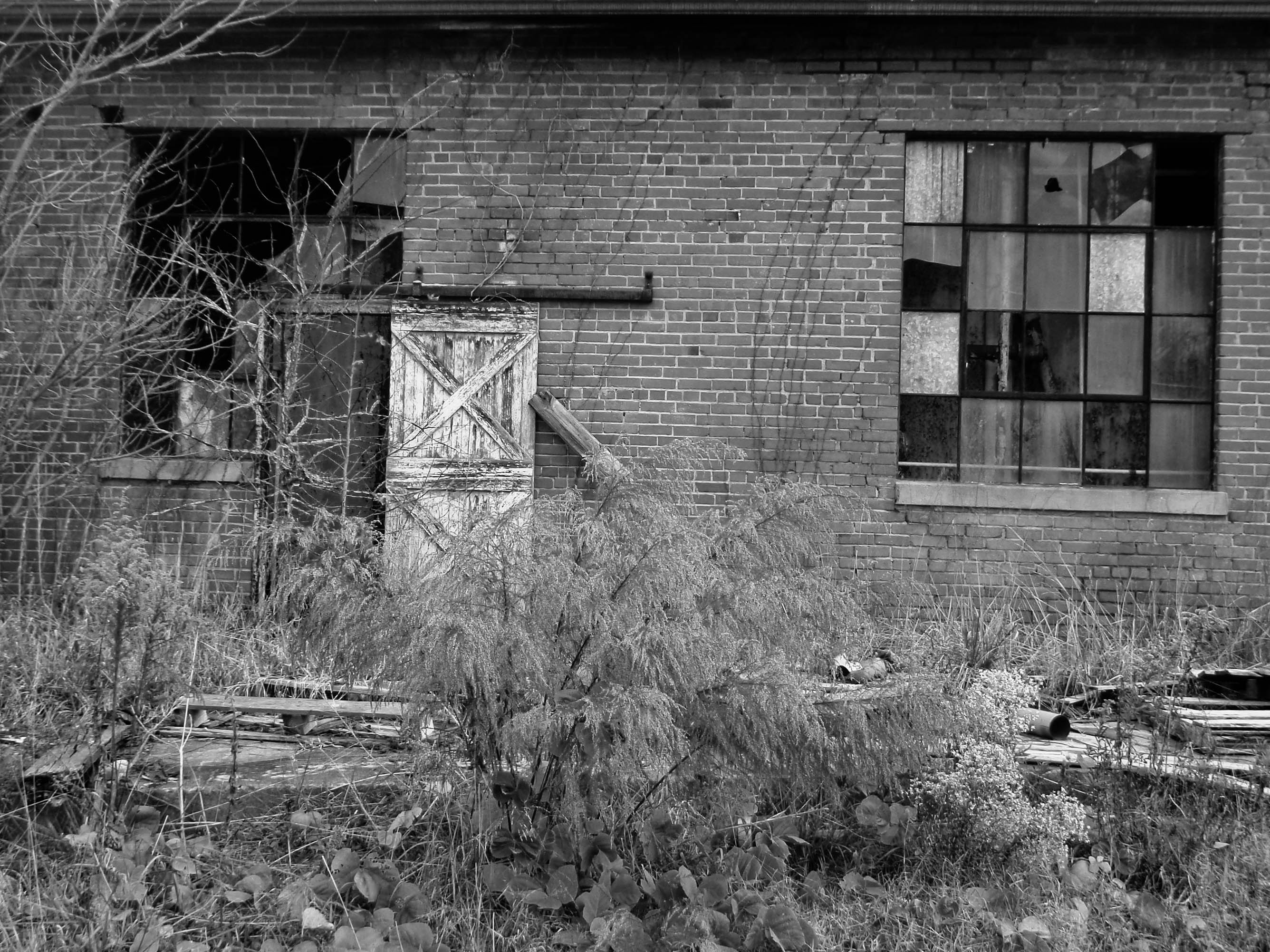
BEHIND THE GREEN DOOR
20091126-PB260058

Strange feelings
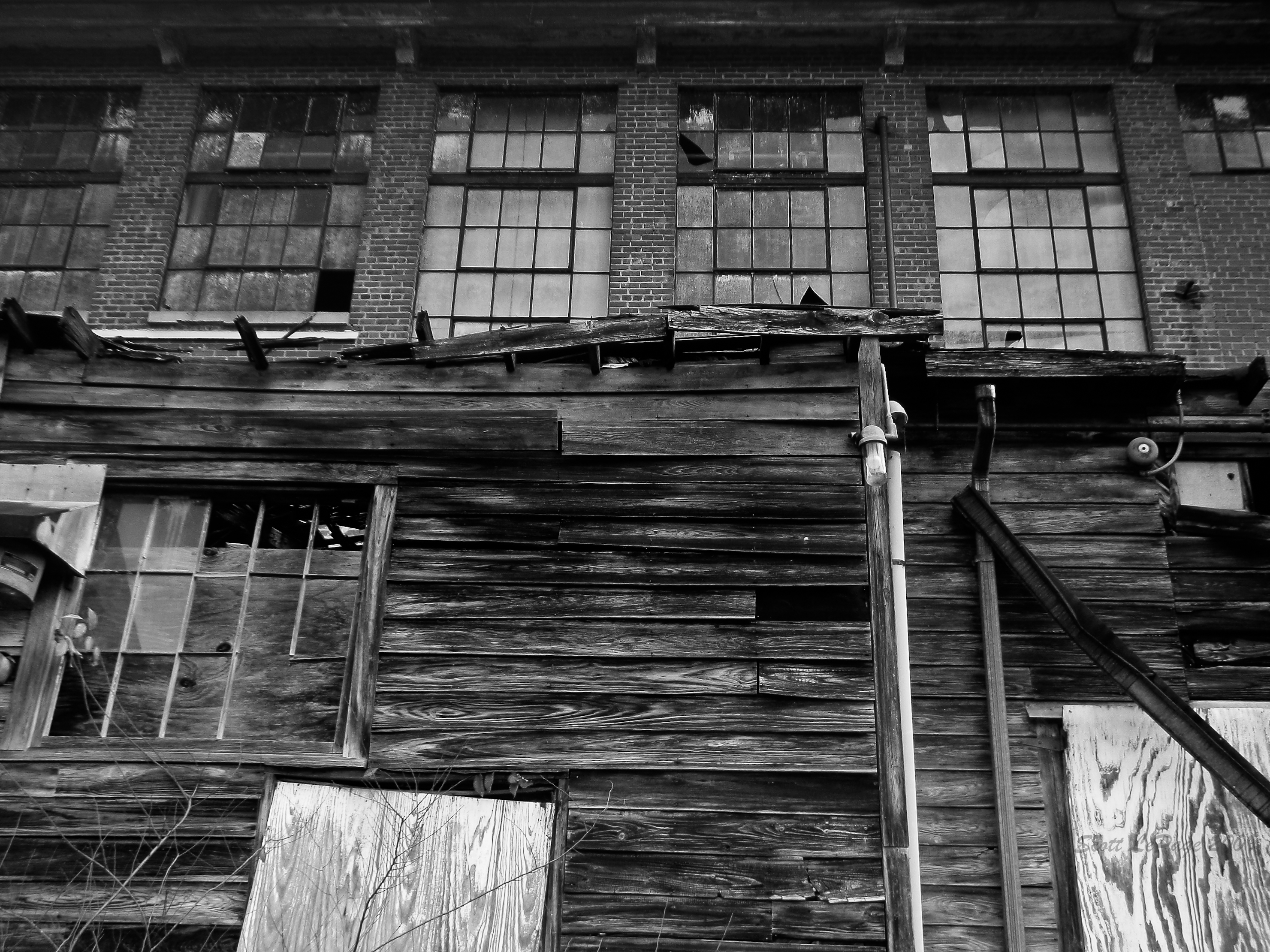
Textiles enter a new century-260067

20091126-PB260051
Power of Crust
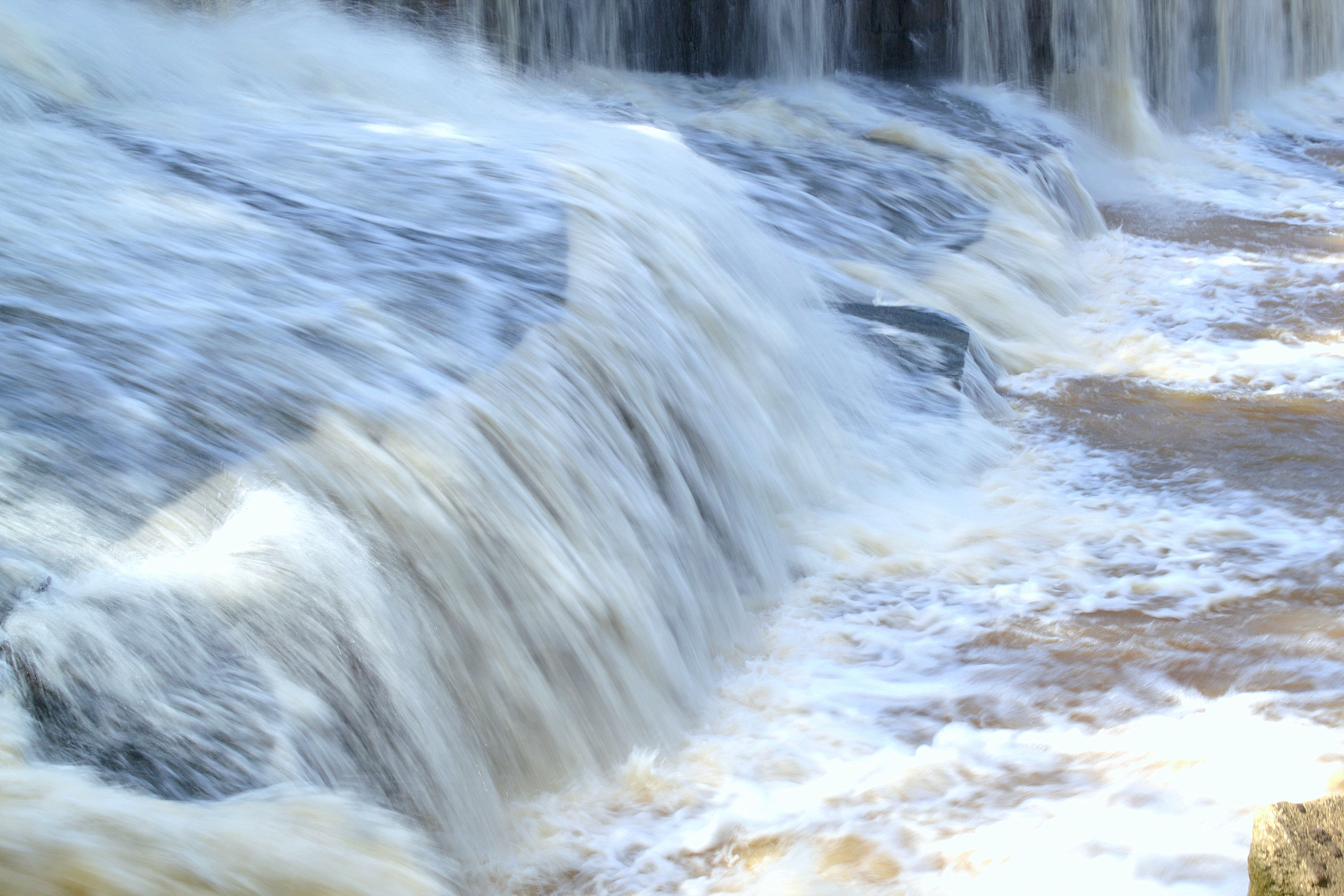
Bull Hole, River Park, Cooleemee NC, Davie County

Bull Hole, River Park, Cooleemee NC, Davie County
Sunrising over the fog at Dixieland Farm (HDR)

Sun setting behind an old abandon silo (HDR)
Tree and field in Mocksville, NC

Sunset over the Pasture (HDR)
Late evening light (HDR)
Soybean field
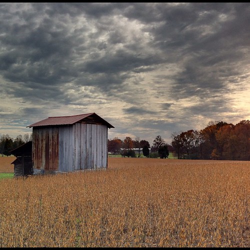
Tobacco barn in the soybean field (iPhone) (True HDR)

Tanglewood park

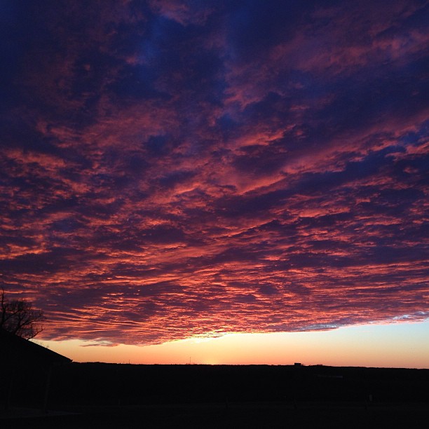
Sunrise on Fire (HDR)
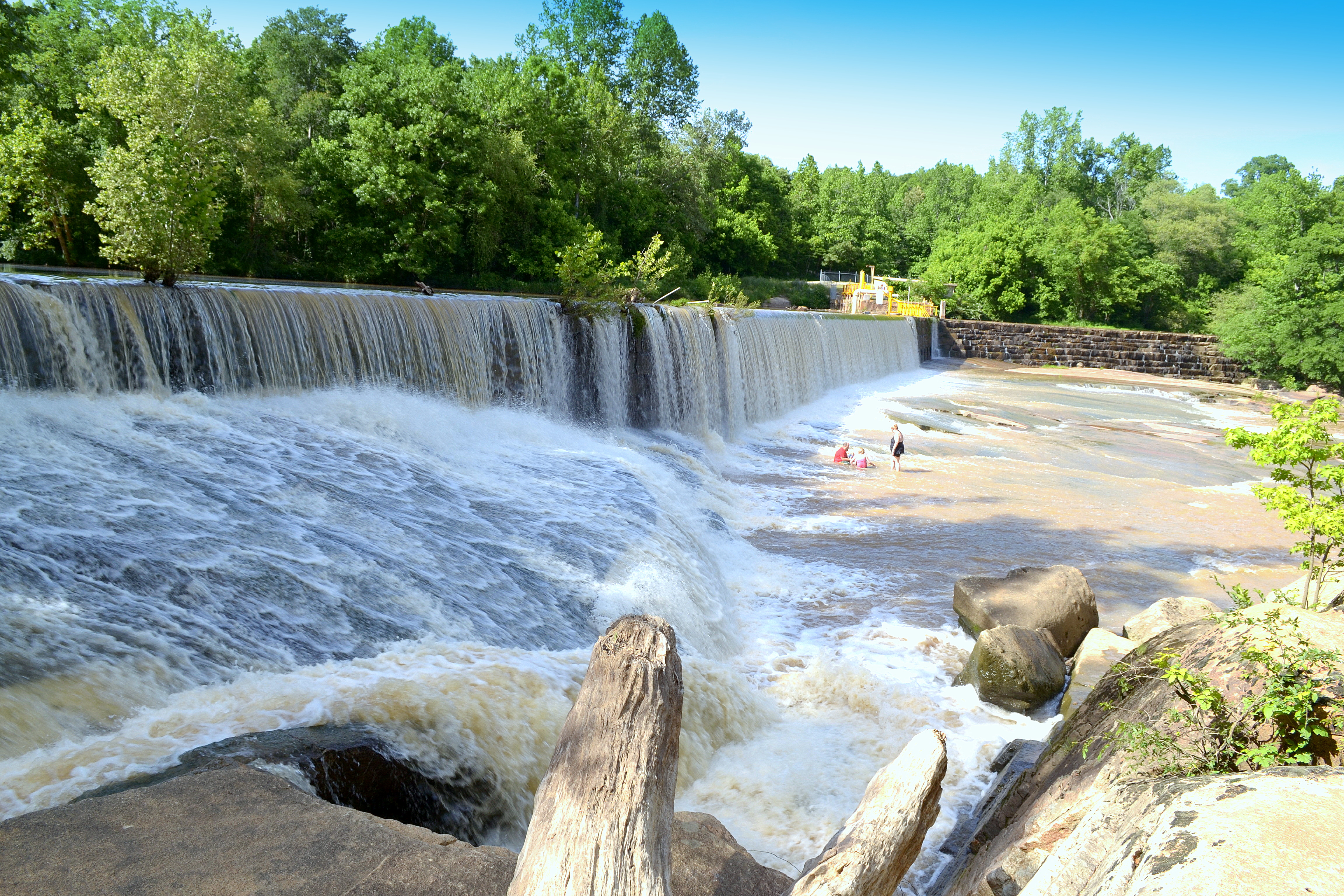
Bull Hole, River Park, Cooleemee NC, Davie County
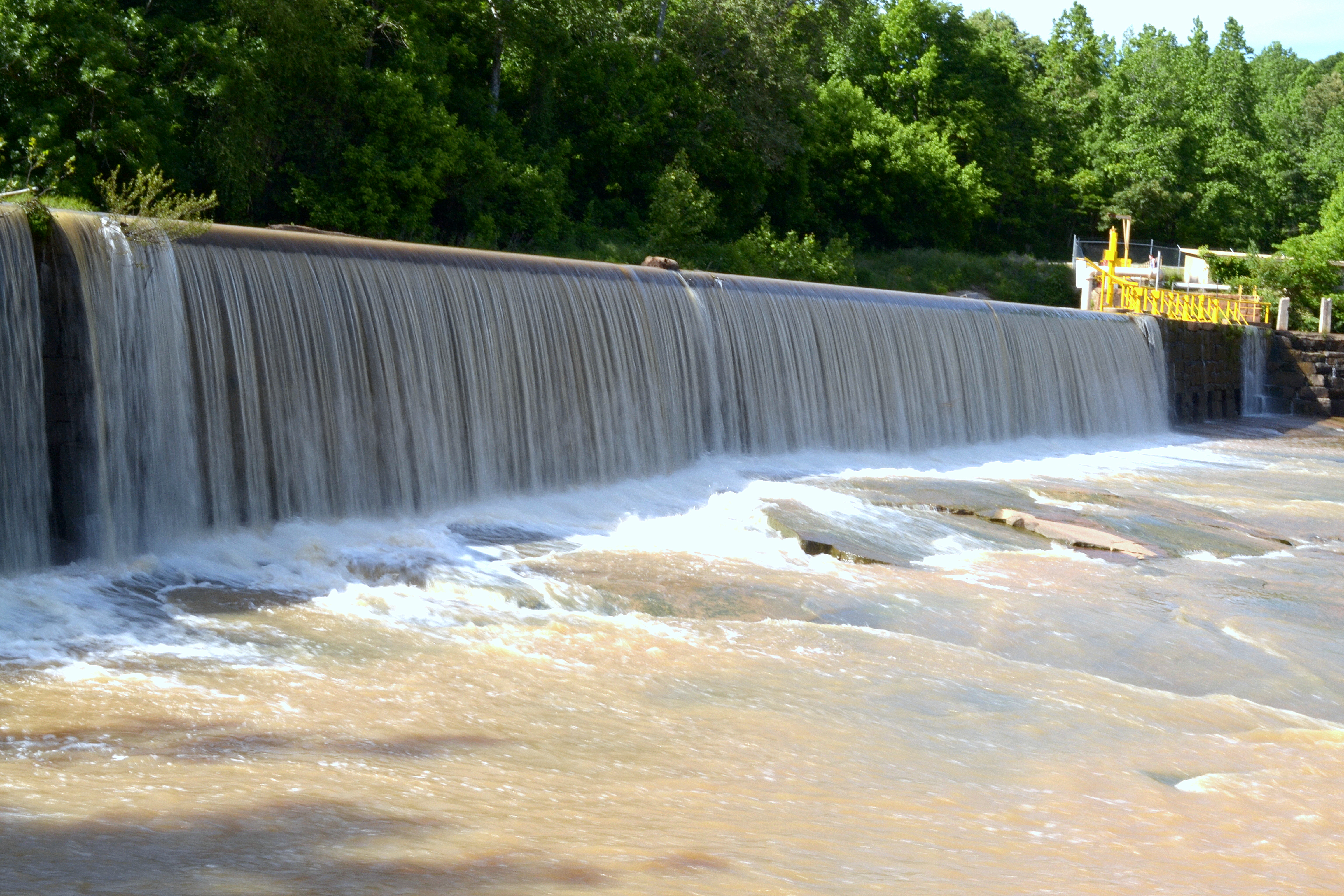
Bull Hole, River Park, Cooleemee NC, Davie County

Black cat Walking by

Dark & Windy Sunset (HDR)

Bird on a Wire 2 (HDR)

Bull Hole, River Park, Cooleemee NC, Davie County
Bull Hole, River Park, Cooleemee NC, Davie County
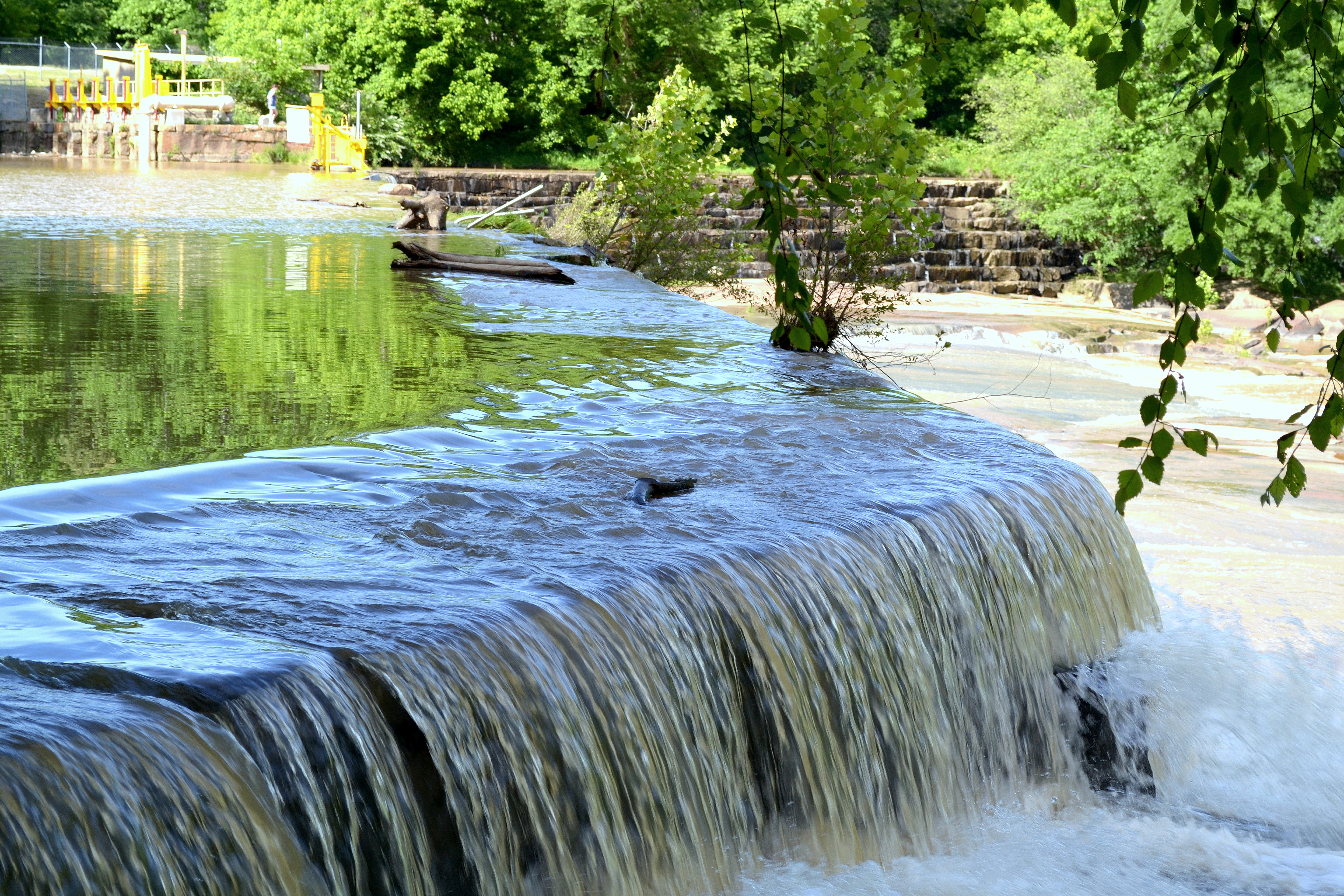
Bull Hole, River Park, Cooleemee NC, Davie County
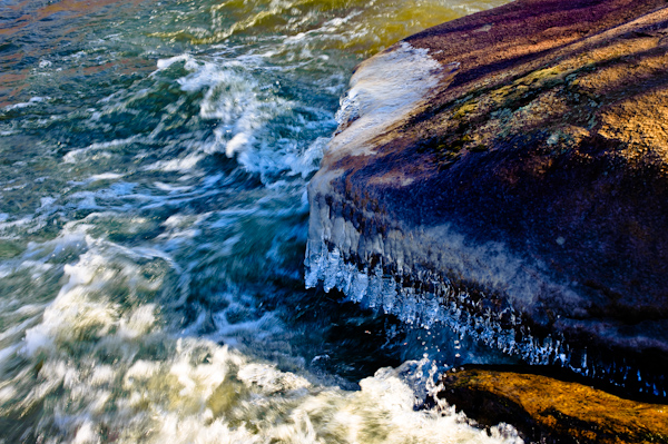
Icy River Rocks
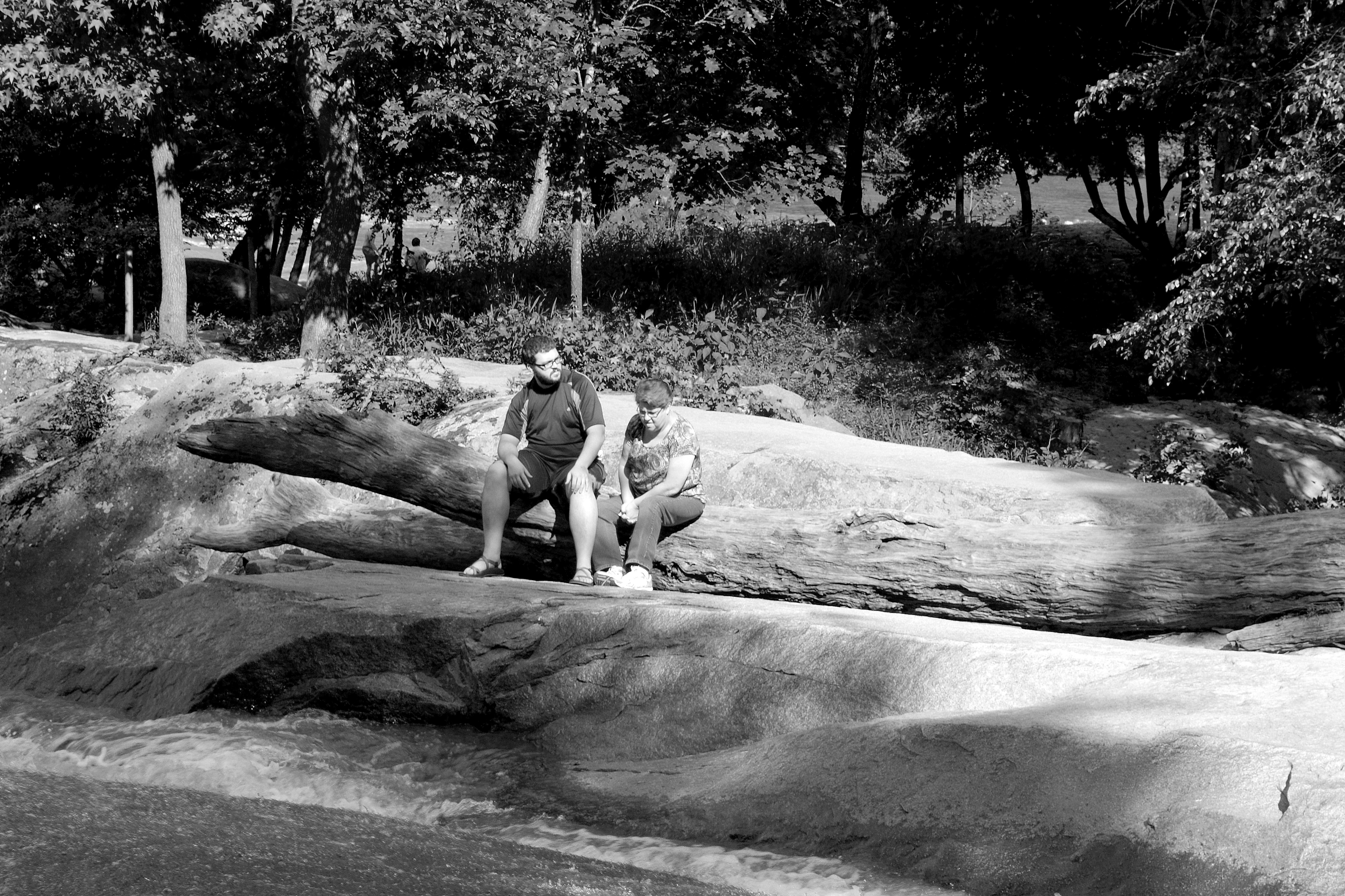
Debbie Hall, Jesse Hall, Bull Hole, River Park, Cooleemee NC, Davie County
Topographic Map of Davie County, NC, USA
Find elevation by address:
Places in Davie County, NC, USA:
Farmington
Shady Grove
Fulton
Mocksville
Clarksville
Jerusalem
Calahaln
Hillcrest St, Mocksville, NC, USA
Places near Davie County, NC, USA:
Mocksville
1618 Angell Rd
Cana Rd, Mocksville, NC, USA
Hillcrest St, Mocksville, NC, USA
Mocksville
170 Birchwood Ln
662 Greenhill Rd
319 Farmington Rd
1803 Cana Rd
140 Leanne Ln
Calahaln
Pinebrook Elementary School
268 Jones Rd
Farmington
149 R Shore Dr
Clarksville
Droke Cir, Mocksville, NC, USA
136 Morrison Rd
1817 Sheffield Rd
114 Midway Dr
Recent Searches:
- Elevation of 1841, Olds Court, Marco Island, Collier County, Florida, 34145, USA
- Elevation of Burnt Store Village, Charlotte County, Florida, 33955, USA
- Elevation of 26552, Angelica Road, Punta Gorda, Charlotte County, Florida, 33955, USA
- Elevation of 104, Chancery Road, Middletown Township, Bucks County, Pennsylvania, 19047, USA
- Elevation of 1212, Cypress Lane, Dayton, Liberty County, Texas, 77535, USA
- Elevation map of Central Hungary, Hungary
- Elevation map of Pest, Central Hungary, Hungary
- Elevation of Pilisszentkereszt, Pest, Central Hungary, Hungary
- Elevation of Dharamkot Tahsil, Punjab, India
- Elevation of Bhinder Khurd, Dharamkot Tahsil, Punjab, India
- Elevation of 2881, Chabot Drive, San Bruno, San Mateo County, California, 94066, USA
- Elevation of 10370, West 107th Circle, Westminster, Jefferson County, Colorado, 80021, USA
- Elevation of 611, Roman Road, Old Ford, Bow, London, England, E3 2RW, United Kingdom
- Elevation of 116, Beartown Road, Underhill, Chittenden County, Vermont, 05489, USA
- Elevation of Window Rock, Colfax County, New Mexico, 87714, USA
- Elevation of 4807, Rosecroft Street, Kempsville Gardens, Virginia Beach, Virginia, 23464, USA
- Elevation map of Matawinie, Quebec, Canada
- Elevation of Sainte-Émélie-de-l'Énergie, Matawinie, Quebec, Canada
- Elevation of Rue du Pont, Sainte-Émélie-de-l'Énergie, Matawinie, Quebec, J0K2K0, Canada
- Elevation of 8, Rue de Bécancour, Blainville, Thérèse-De Blainville, Quebec, J7B1N2, Canada