Elevation of Dangeau, France
Location: France > Centre > Eure-et-loir >
Longitude: 1.287557
Latitude: 48.208686
Elevation: 138m / 453feet
Barometric Pressure: 100KPa
Elevation Map:
Satellite Map:
Related Photos:

Lamp...
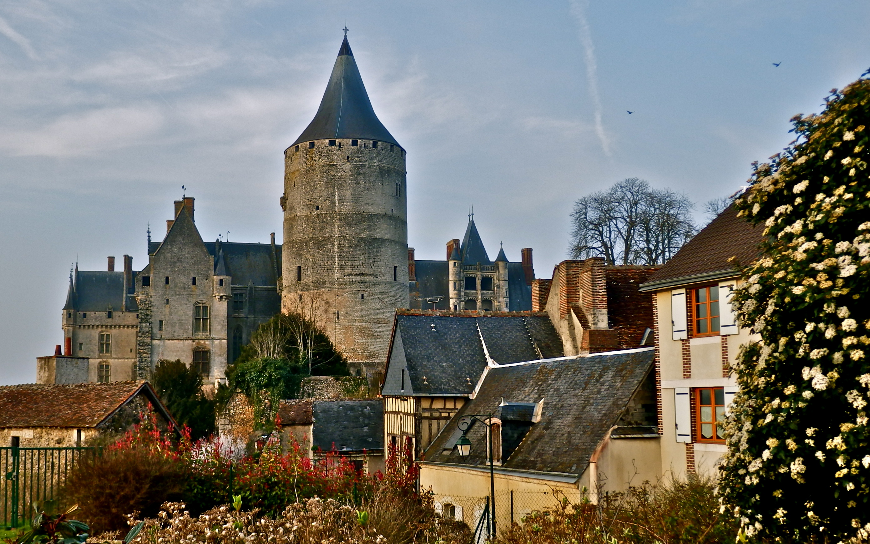
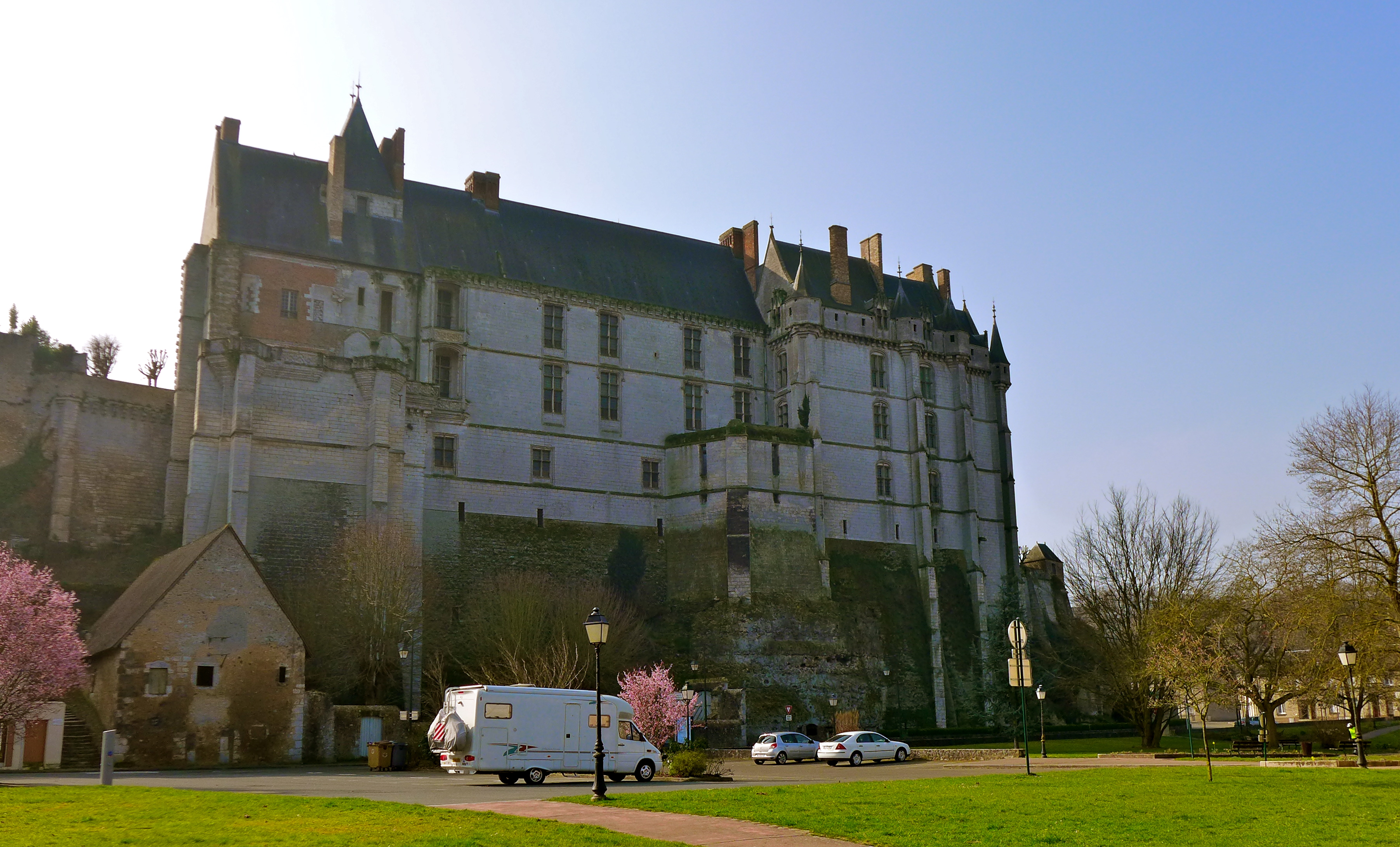
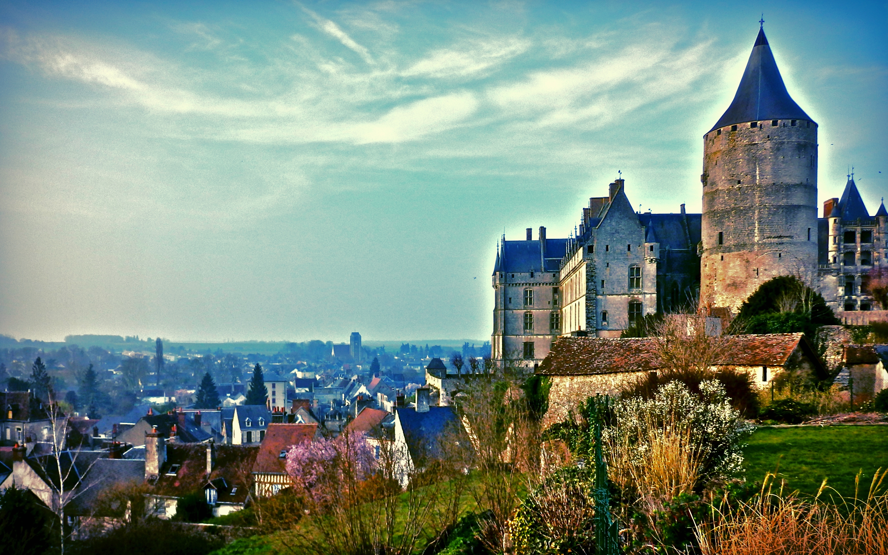
Château de Châteaudun

Ancient & Modern...the historic monument and the pizza delivery bikes
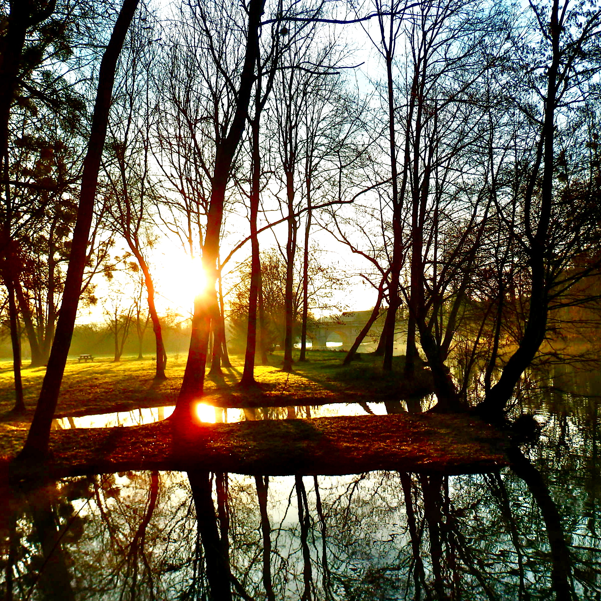
How do you rate the morning sun....after a long and sleepless night?
In the Shadow of the Chateau
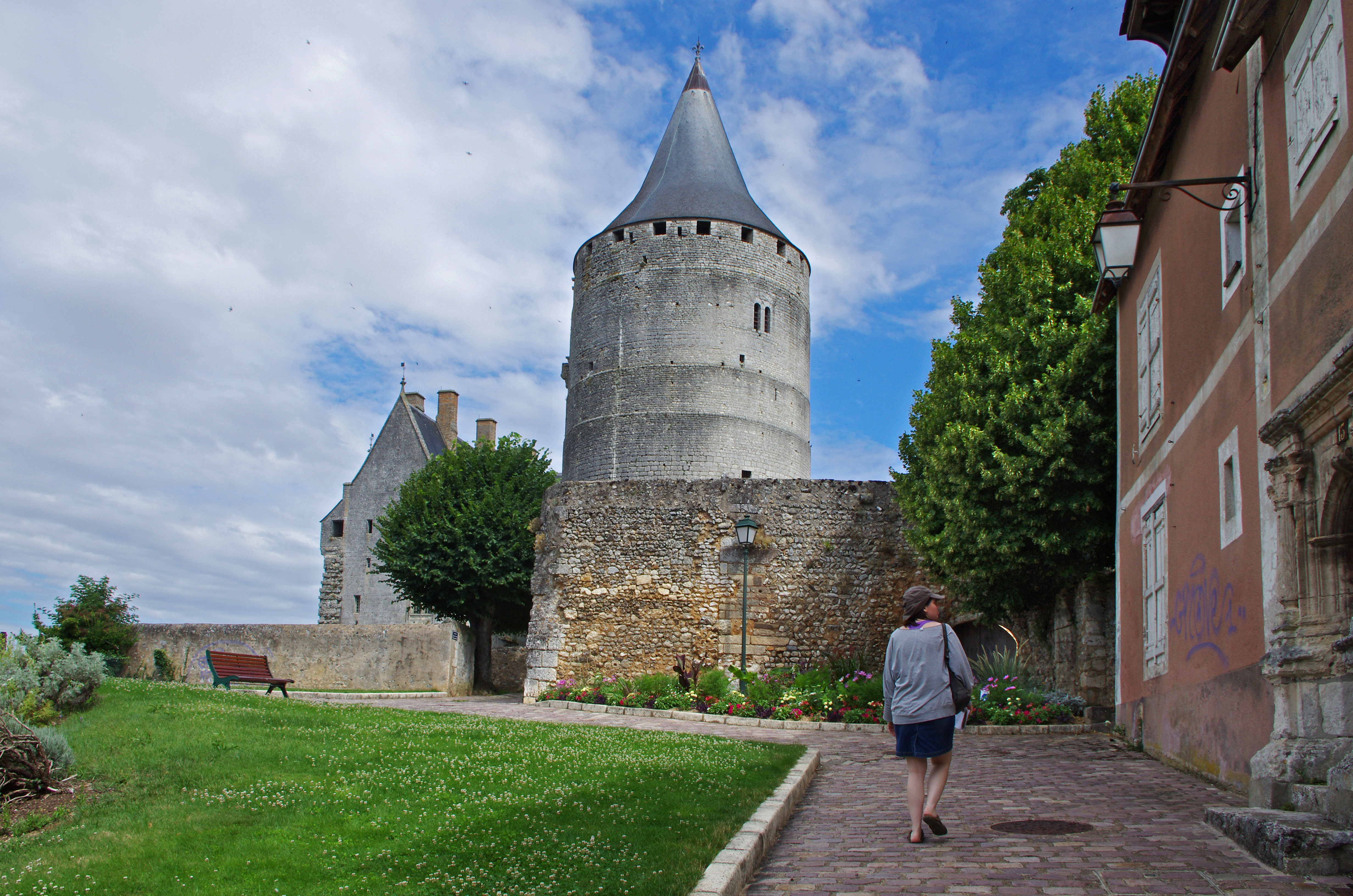
Châteaudun (Eure-et-Loir)
Chateau...
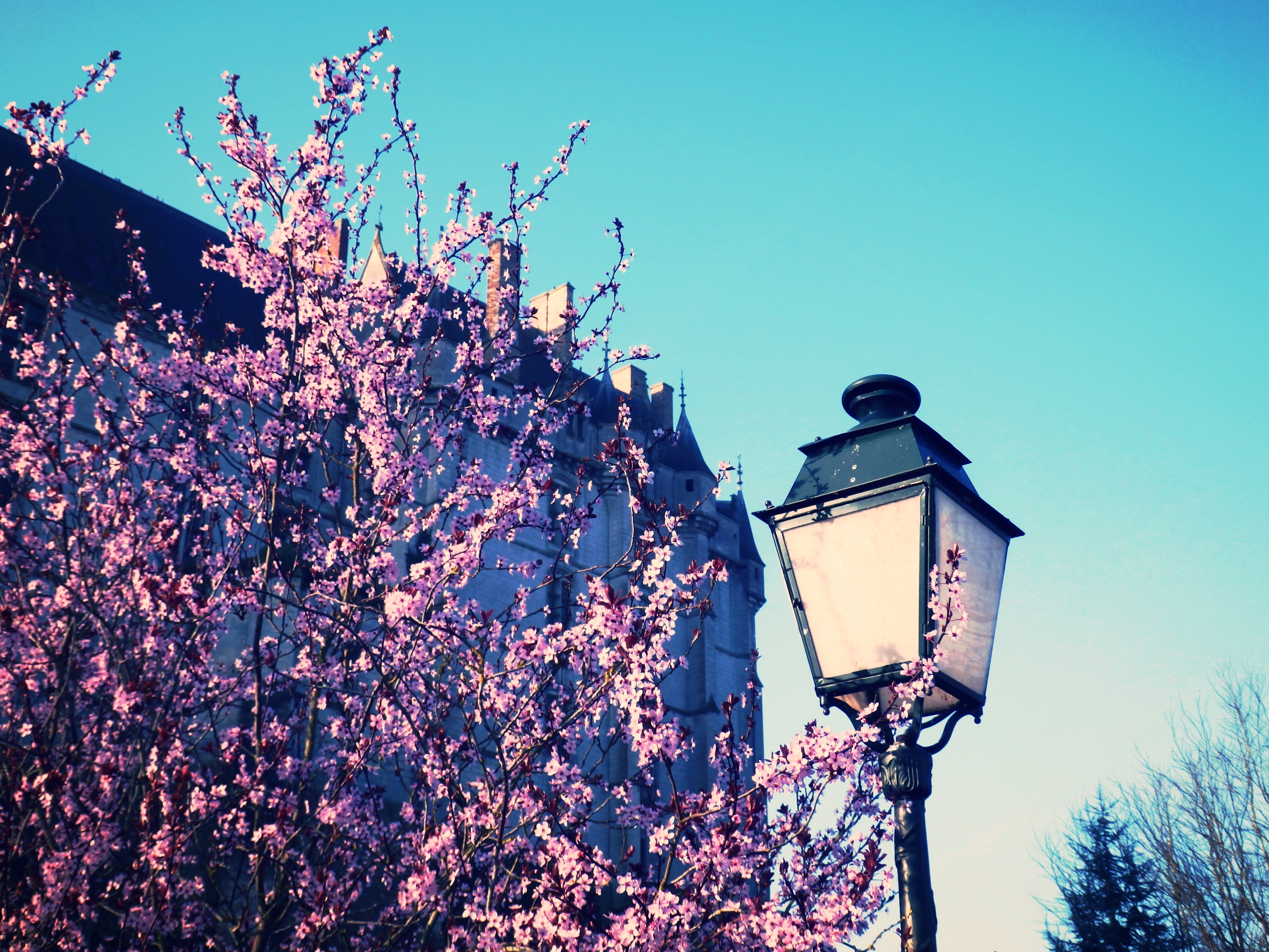
Some blossom...and a street lamp

Jugement dernier, dét. (1466, Paoul Goybault) Sainte-Chapelle du château de Châteaudun (Eure-et-Loir, France)
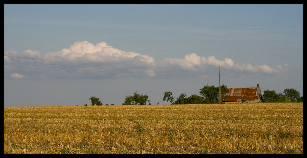
Wheat and farmhouse
------------------ Sur la Route du Blé en Beauce ----------------

iphone乱入
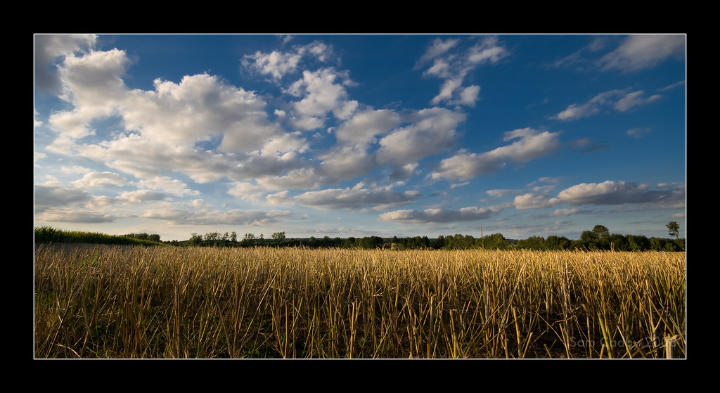
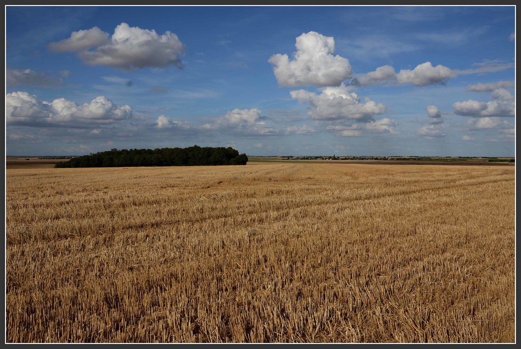
Harvested wheat and sky

Early morning light and water tower
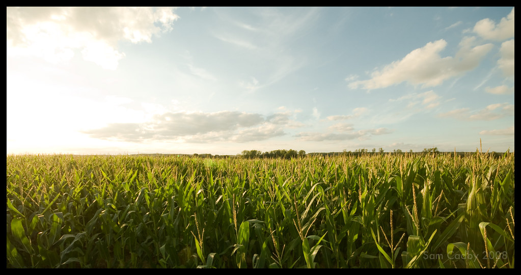
Sunset over corn
2013-08-01 16.28.24-1

Rural scene
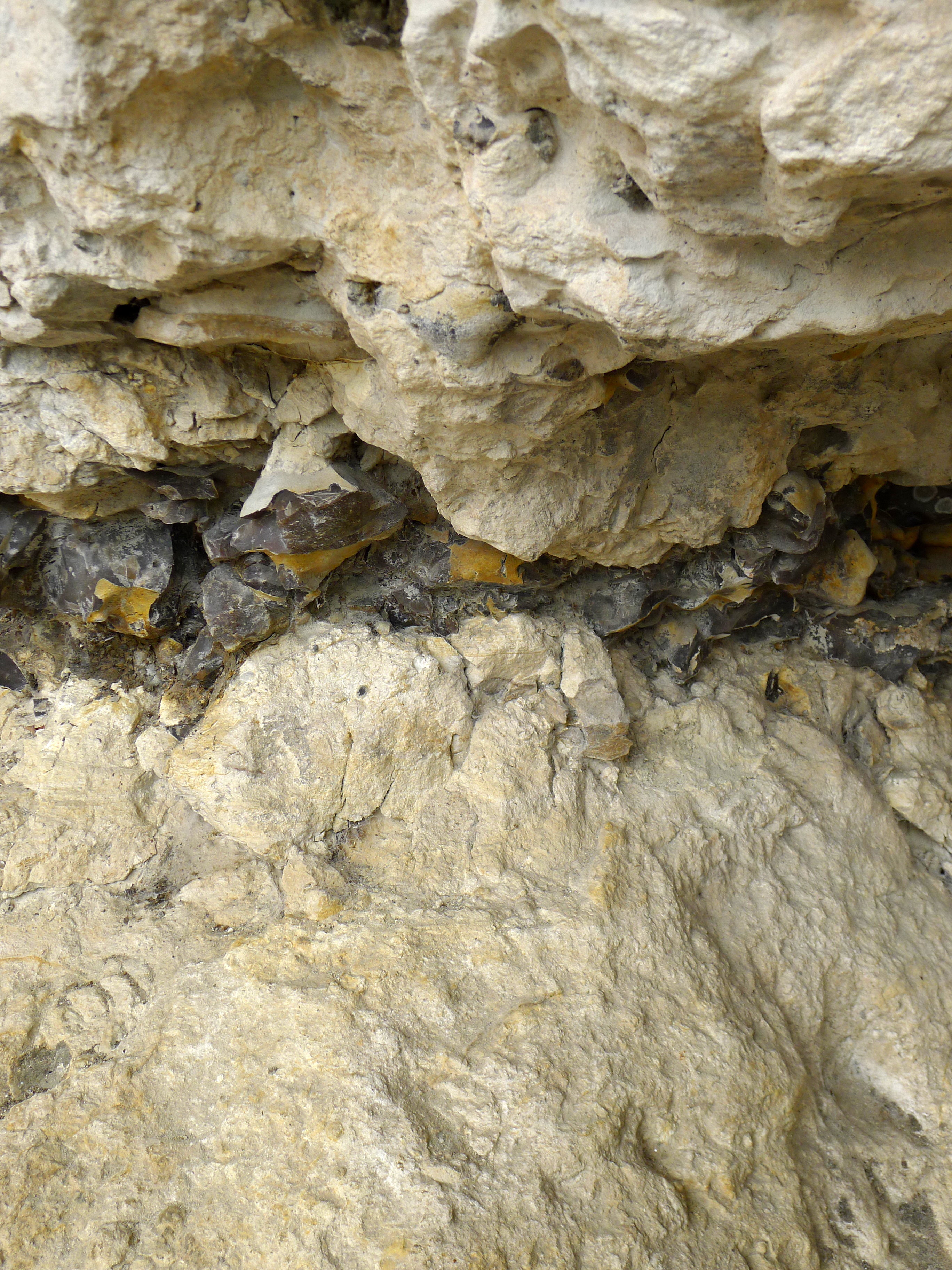
Limite K-T (Crétacé-Tertiaire) - 65,5 Ma, Grottes du Foulon à Châteaudun (Eure-et-Loir, France)
Ciel de grain au printemps
Saint-Christophe (Eure-et-Loir)

Sunset over harvested wheat
Chateaudun 089 Panorama PANO
2013-11-10-chateaudun-tours_1111_014
" Rien à l'horizon " ...

Ruines de l'Eglise St-Lubin et Donjon du Château de Châteaudun

Randonnée du Jour de l'an 2013 - Vers la Thironne, Nouvet (28)
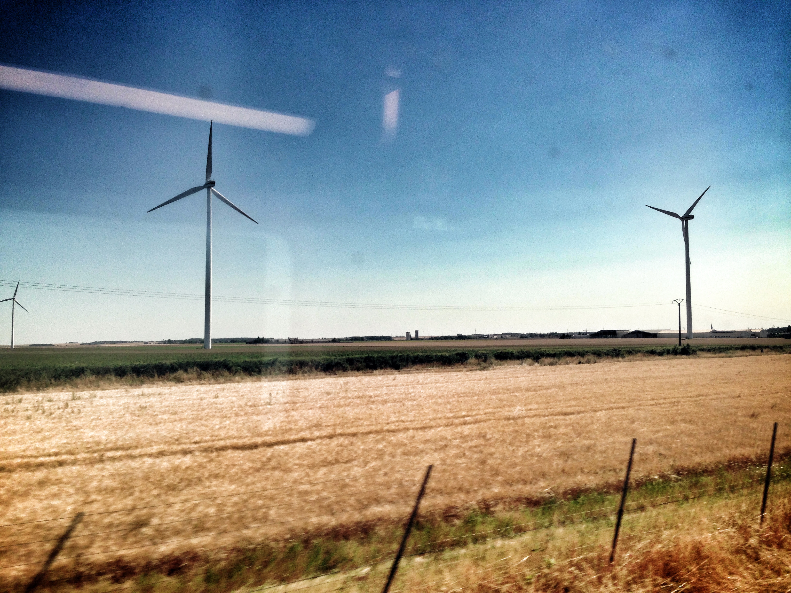
Entre Beauce et Perche
Epis de blé
Bouville (Eure-et-Loir)
Topographic Map of Dangeau, France
Find elevation by address:

Places in Dangeau, France:
Places near Dangeau, France:
5 Le Soussy, Dangeau, France
7b
Bullou
5 La Souris, Dangeau, France
Magny
13 Rue de la Beauce au Perche, Magny, France
4 Rue de la Pierre d'Aulmont, Ermenonville-la-Grande, France
Ermenonville-la-grande
18 Gr Grande Rue, Nonvilliers-Grandhoux, France
Nonvilliers-grandhoux
Nogent-sur-eure
Unverre
12b
Saint-germain-le-gaillard
4 Rue de la Charentonne, Saint-Germain-le-Gaillard, France
28 Rue Noël Ballay, Fontenay-sur-Eure, France
3 Les Molands, Unverre, France
11 Rue du Château de Villebon, Chuisnes, France
Chuisnes
Champrond-en-gâtine
Recent Searches:
- Elevation of Corso Fratelli Cairoli, 35, Macerata MC, Italy
- Elevation of Tallevast Rd, Sarasota, FL, USA
- Elevation of 4th St E, Sonoma, CA, USA
- Elevation of Black Hollow Rd, Pennsdale, PA, USA
- Elevation of Oakland Ave, Williamsport, PA, USA
- Elevation of Pedrógão Grande, Portugal
- Elevation of Klee Dr, Martinsburg, WV, USA
- Elevation of Via Roma, Pieranica CR, Italy
- Elevation of Tavkvetili Mountain, Georgia
- Elevation of Hartfords Bluff Cir, Mt Pleasant, SC, USA