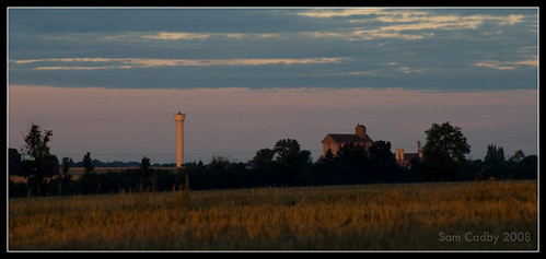
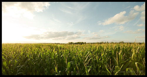
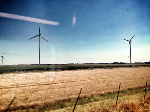
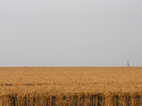
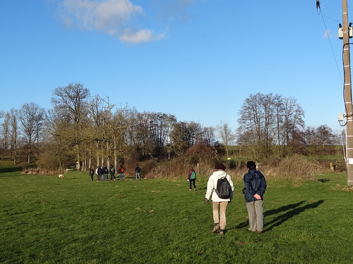
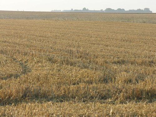
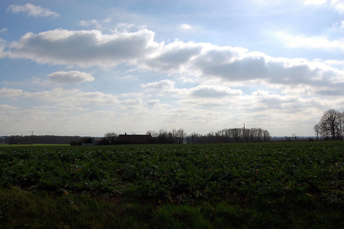
Elevation of 7B La Tremblaye, Bullou, France
Location: France > Centre > Eure-et-loir > Bullou >
Longitude: 1.2774155
Latitude: 48.2306063
Elevation: 148m / 486feet
Barometric Pressure: 100KPa
Related Photos:
Topographic Map of 7B La Tremblaye, Bullou, France
Find elevation by address:

Places near 7B La Tremblaye, Bullou, France:
Dangeau
Bullou
5 Le Soussy, Dangeau, France
5 La Souris, Dangeau, France
Magny
13 Rue de la Beauce au Perche, Magny, France
4 Rue de la Pierre d'Aulmont, Ermenonville-la-Grande, France
Ermenonville-la-grande
18 Gr Grande Rue, Nonvilliers-Grandhoux, France
Nonvilliers-grandhoux
Nogent-sur-eure
Unverre
Saint-germain-le-gaillard
4 Rue de la Charentonne, Saint-Germain-le-Gaillard, France
12b
28 Rue Noël Ballay, Fontenay-sur-Eure, France
11 Rue du Château de Villebon, Chuisnes, France
3 Les Molands, Unverre, France
Chuisnes
Champrond-en-gâtine
Recent Searches:
- Elevation of Corso Fratelli Cairoli, 35, Macerata MC, Italy
- Elevation of Tallevast Rd, Sarasota, FL, USA
- Elevation of 4th St E, Sonoma, CA, USA
- Elevation of Black Hollow Rd, Pennsdale, PA, USA
- Elevation of Oakland Ave, Williamsport, PA, USA
- Elevation of Pedrógão Grande, Portugal
- Elevation of Klee Dr, Martinsburg, WV, USA
- Elevation of Via Roma, Pieranica CR, Italy
- Elevation of Tavkvetili Mountain, Georgia
- Elevation of Hartfords Bluff Cir, Mt Pleasant, SC, USA
