Elevation of Damodar Kunda, Dhawalagiri, Surkhang, Nepal
Location: Nepal > Western Region > Dhawalagiri > Surkhang >
Longitude: 84.1662828
Latitude: 28.9760015
Elevation: 4976m / 16325feet
Barometric Pressure: 54KPa
Elevation Map:
Satellite Map:
Related Photos:

DSC_8589

DSC_8584

DSC_8553

DSC_8555

DSC_8557

DSC_8606

DSC_8554
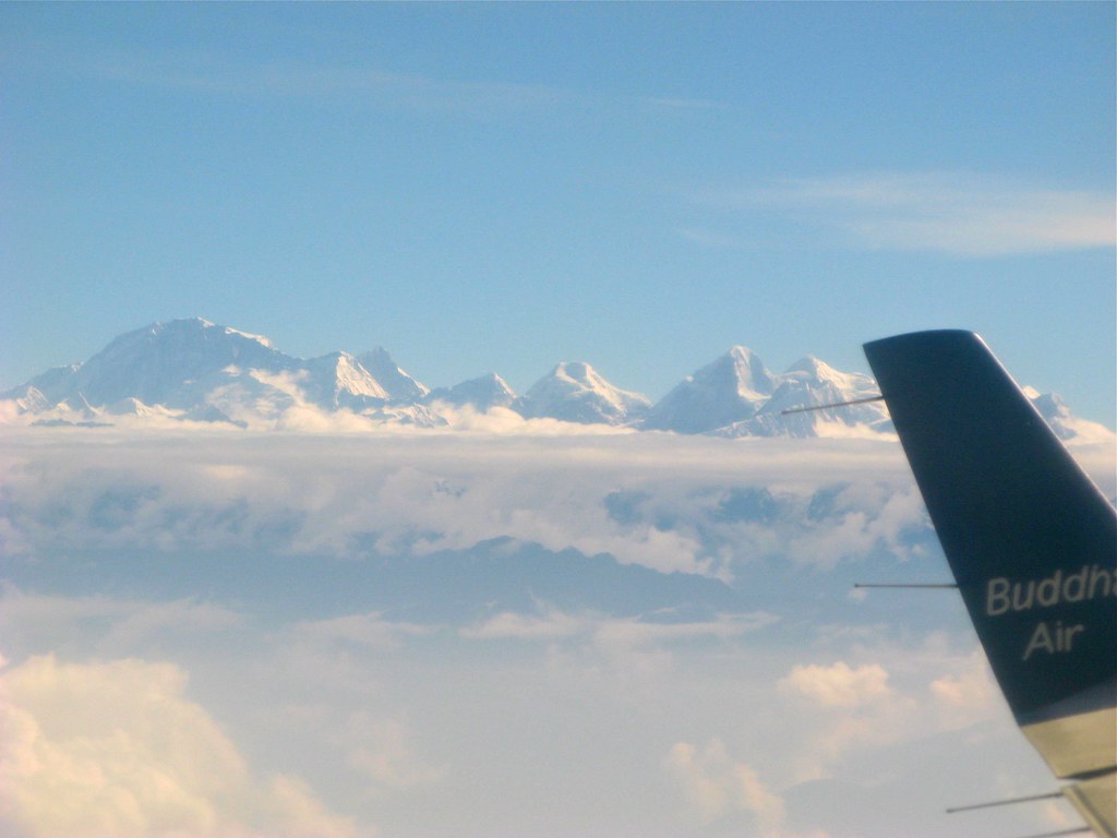
Mount Everest from Budha air
Topographic Map of Damodar Kunda, Dhawalagiri, Surkhang, Nepal
Find elevation by address:

Places near Damodar Kunda, Dhawalagiri, Surkhang, Nepal:
Surkhang
Lugula Himal
Dhe
Yara Gaun
Fu
Chhoser
Nar
Tsarang
Chulu East
Thorung High Camp
Thorong Phedi Base Camp Lodge
Thorung Phedi
Thorong Phedi - Thorong La Road
Tanki Manang
Thorong La
Lo Manthang Village
Monastic Quarter
Naar
Nar
Ngawal
Recent Searches:
- Elevation of Corso Fratelli Cairoli, 35, Macerata MC, Italy
- Elevation of Tallevast Rd, Sarasota, FL, USA
- Elevation of 4th St E, Sonoma, CA, USA
- Elevation of Black Hollow Rd, Pennsdale, PA, USA
- Elevation of Oakland Ave, Williamsport, PA, USA
- Elevation of Pedrógão Grande, Portugal
- Elevation of Klee Dr, Martinsburg, WV, USA
- Elevation of Via Roma, Pieranica CR, Italy
- Elevation of Tavkvetili Mountain, Georgia
- Elevation of Hartfords Bluff Cir, Mt Pleasant, SC, USA