Elevation of Dale Farm Ltd, 75 Dunminning Rd, Cullybackey, Ballymena BT42 1PE, UK
Location: United Kingdom > Northern Ireland > Mid And East Antrim >
Longitude: -6.3653967
Latitude: 54.9181065
Elevation: 75m / 246feet
Barometric Pressure: 100KPa
Elevation Map:
Satellite Map:
Related Photos:
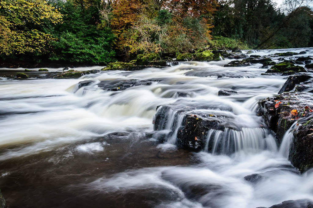
River Maine at Galgorm Manor

Footing the Turf

Church Street, Ballymena, Co. Antrim

The view from 'the Plantation'

River Maine at Galgorm Manor

Aerial View of Cullybackey

Antrim's Pallete

Corkey sunrise

Aerial View over Cullybackey

Aerial View of Moyan Road Dunloy

Aerial View Ecos Ballymena

Aerial View Ecos Ballymena

Aerial View of Cullybackey Ballymena

Aerial View of Moyan Road Dunloy

Aerial View over Cullybackey

Aerial View Orra Northern Ireland

Aerial View over Cullybackey

Aerial View of Cullybackey

Aerial View Currells Ballymena

Corkey sunrise

#simple #view #غرد_بصوره
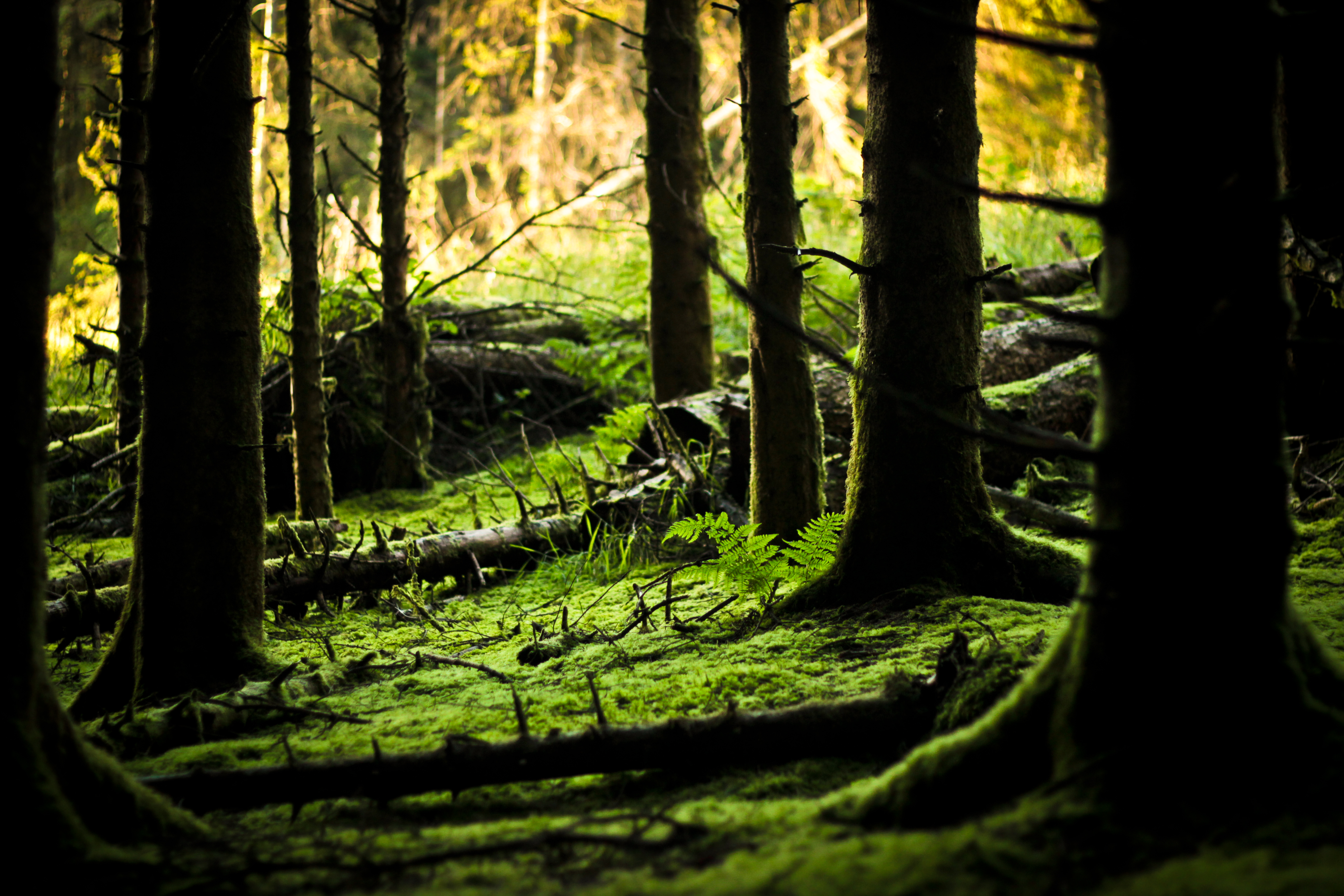
Forest Floor
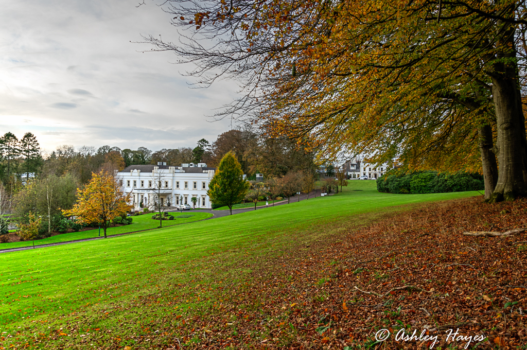
Galgorm Manor, Northern Ireland

Foggy start *Explored

Galgorm Manor

Bann.Valley.24luma

Light on low lying hills

Bluebells in Bloom. Portglenone Forest, Northern Ireland.

Cargan at the foot of the Antrim Hills, from the slopes of Slievanee

Morning in autumn

Bann.Valley.19luma

Carrick-a-rede rope bridge

Ecos in snow winter 2010

Multicoloured Sunset

135/365 *Explored & Dropped

even in black & white the sun can split the trees
Topographic Map of Dale Farm Ltd, 75 Dunminning Rd, Cullybackey, Ballymena BT42 1PE, UK
Find elevation by address:

Places near Dale Farm Ltd, 75 Dunminning Rd, Cullybackey, Ballymena BT42 1PE, UK:
Cullybackey
146 Fenaghy Rd
Bt42 1fd
Galgorm Manor
201 Galgorm Rd
The Knowe
Galgorm Castle Golf Club
Cloughmills
91 Rosses Ln
Ballymena Bus Station
Ballymena
16 George St
Ballymena
Norbev
Moneyduff Road
Harryville Primary School
Seven Towers Leisure Centre
Ballygarvey
Bt53 7jt
Broughshane
Recent Searches:
- Elevation of Corso Fratelli Cairoli, 35, Macerata MC, Italy
- Elevation of Tallevast Rd, Sarasota, FL, USA
- Elevation of 4th St E, Sonoma, CA, USA
- Elevation of Black Hollow Rd, Pennsdale, PA, USA
- Elevation of Oakland Ave, Williamsport, PA, USA
- Elevation of Pedrógão Grande, Portugal
- Elevation of Klee Dr, Martinsburg, WV, USA
- Elevation of Via Roma, Pieranica CR, Italy
- Elevation of Tavkvetili Mountain, Georgia
- Elevation of Hartfords Bluff Cir, Mt Pleasant, SC, USA