Elevation of Ballymena, UK
Location: United Kingdom > Northern Ireland > Ballymena >
Longitude: -6.2802213
Latitude: 54.8652935
Elevation: 47m / 154feet
Barometric Pressure: 101KPa
Elevation Map:
Satellite Map:
Related Photos:
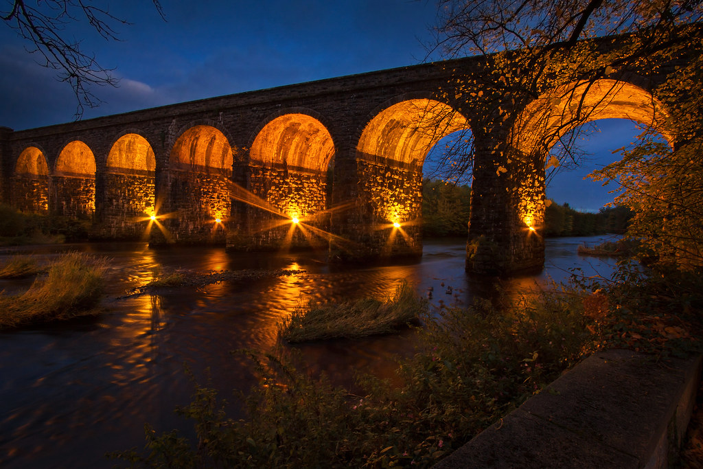
Randalstown Viaduct
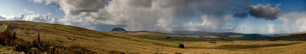
Slemish panoramic

HFF - Hypnotic
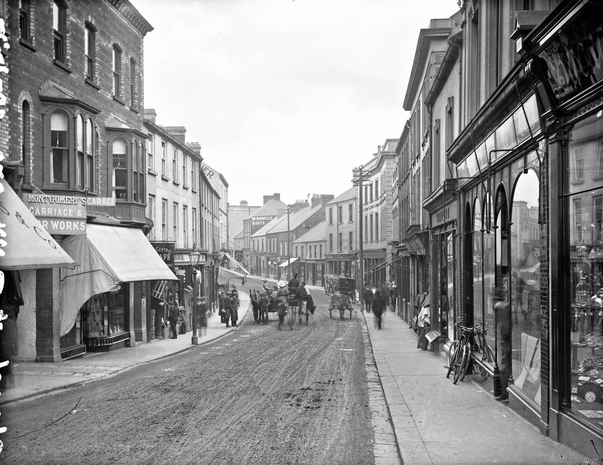
Church Street, Ballymena, Co. Antrim
on Skerry hill (IR)
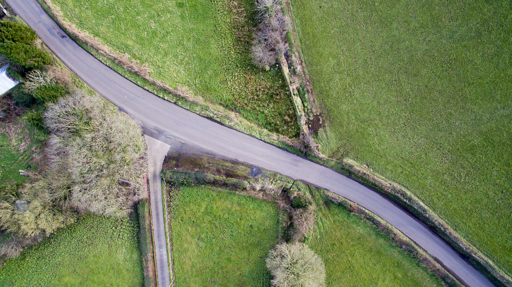
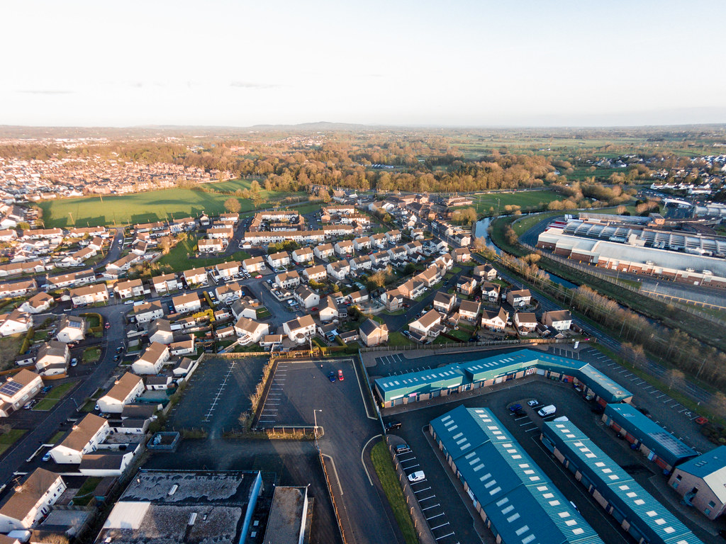
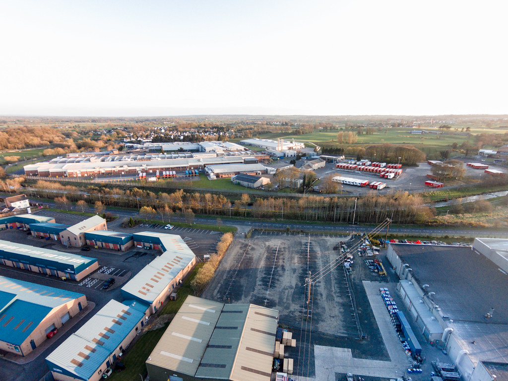
Aerial View Crosskeys
Aerial View Crosskeys

Education Minister John O’Dowd pictured with a pupil as he visited Moneynick and Duneane Primary Schools in County Antrim
Aerial View Crosskeys
Aerial View Crosskeys
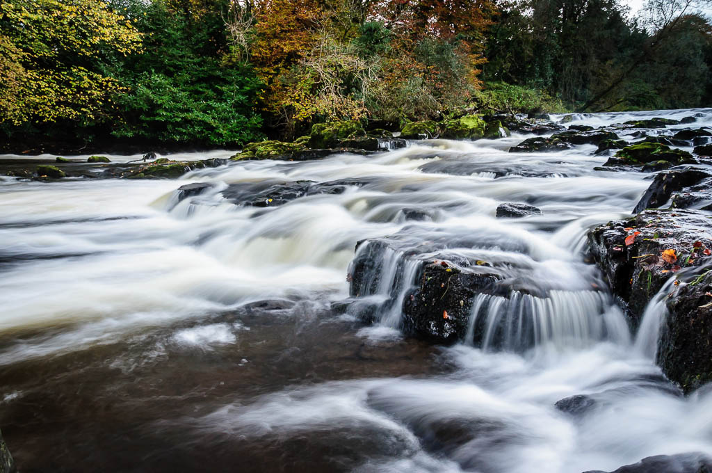
River Maine at Galgorm Manor
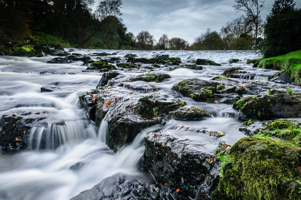
River Maine at Galgorm Manor
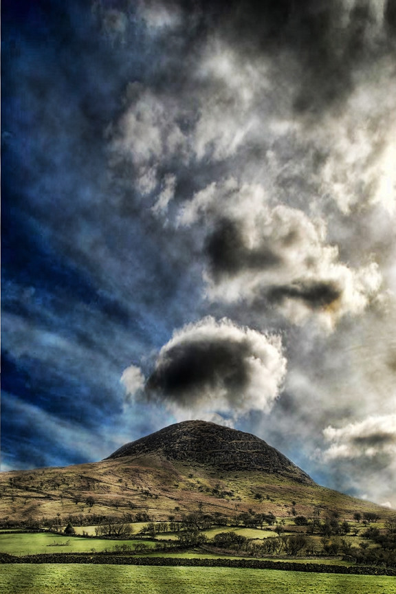
Slemish Mountain, Broughshane

Chili & Tess enjoying the great day!! #springer #springerspaniel #sunrise #sun #dogwalking #clouds

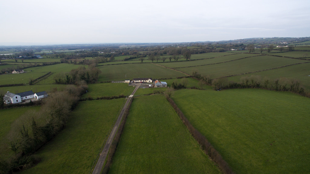
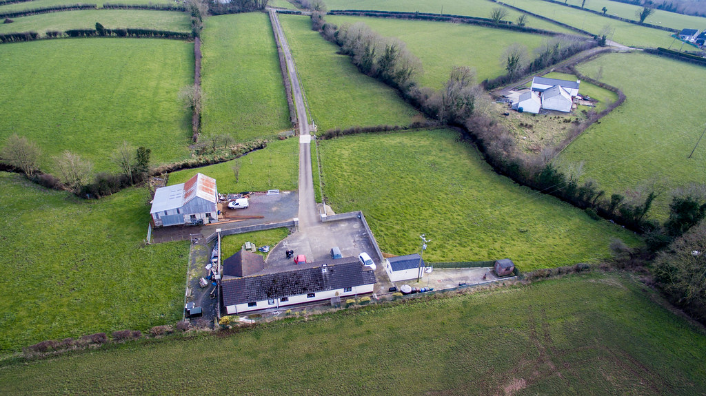
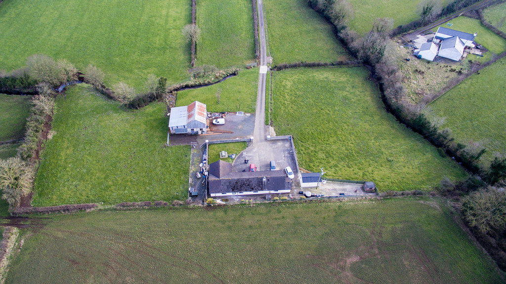
Galgorm Ballymena From The Air
Galgorm Ballymena From The Air
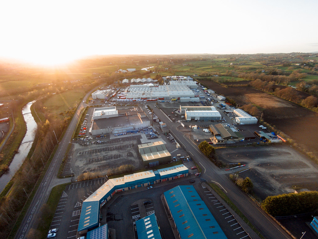
Galgorm Ballymena From The Air

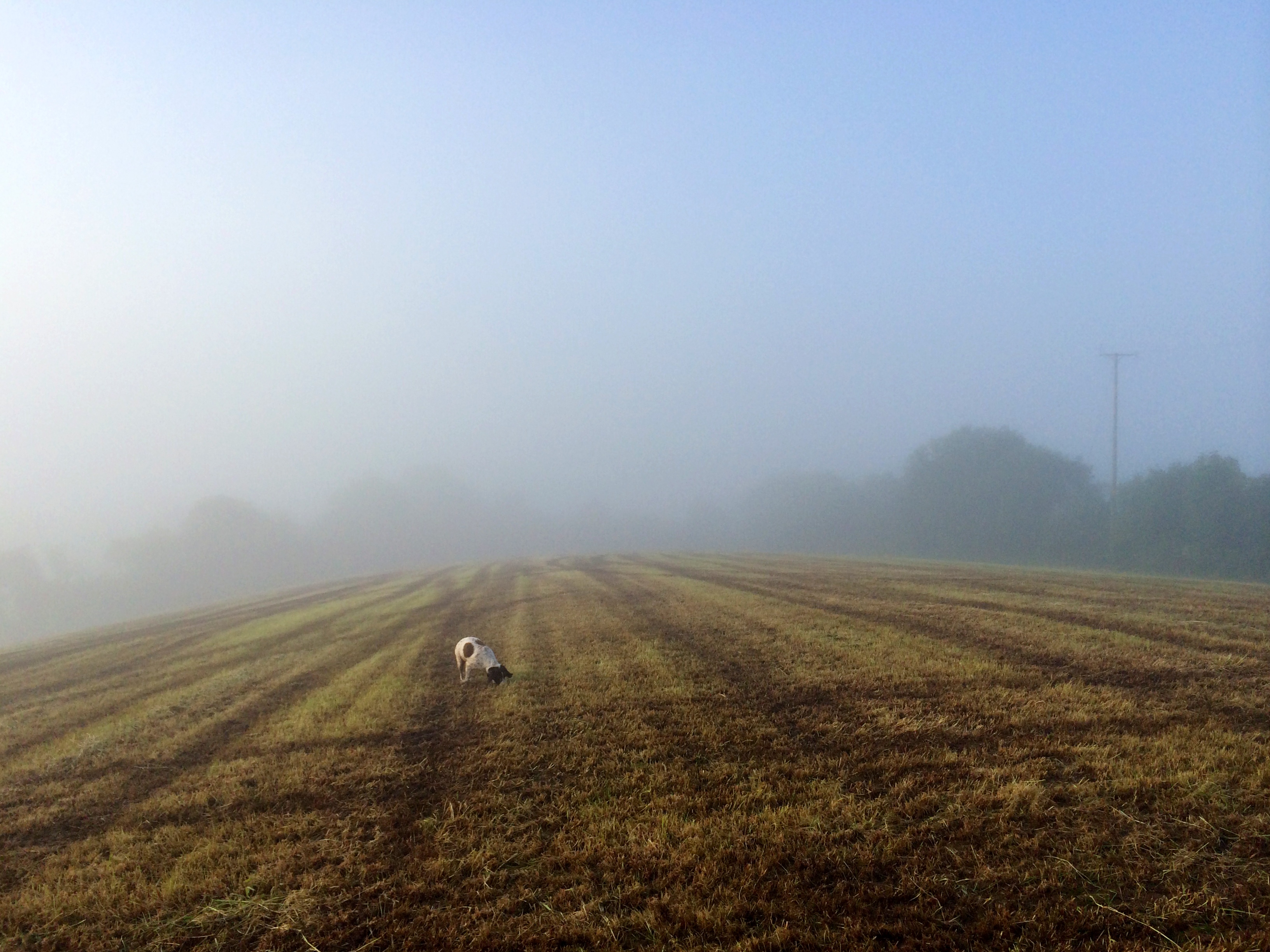
My view this morning #dogwalking #slemish #fog

ECOS Body *Explored & Dropped
Aerial view of Cullybackey
Galgorm Ballymena From The Air
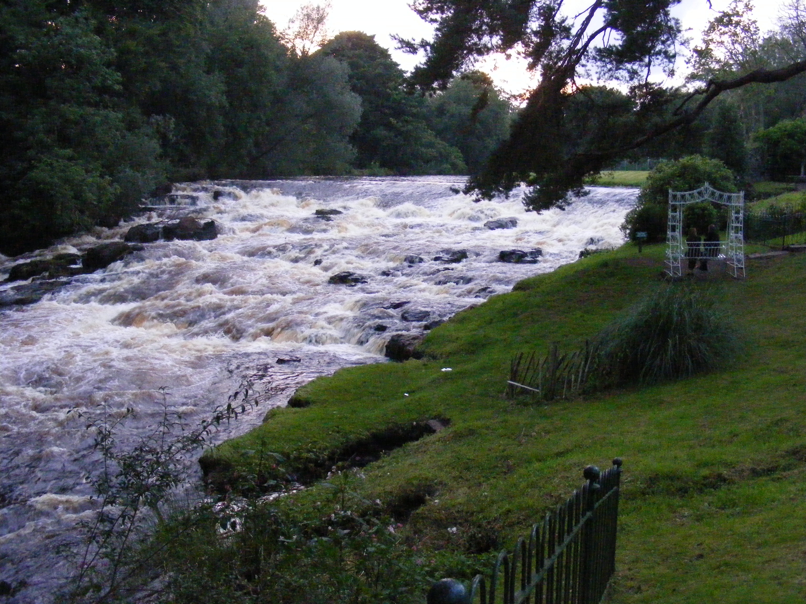
"Full Flow"
226/365 *Explored & Dropped

even in black & white the sun can split the trees

Gelbvieh calf.
peek a boo
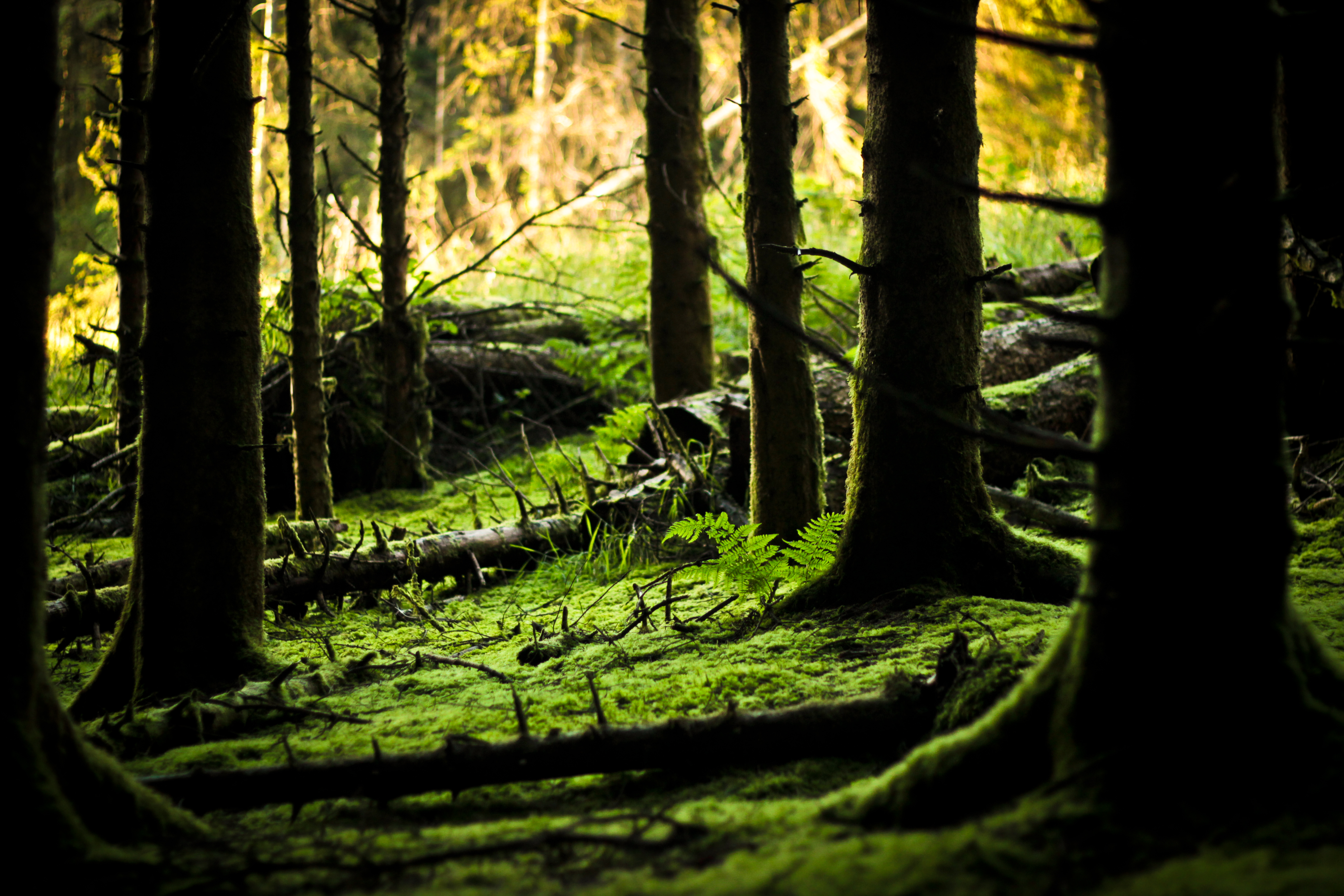
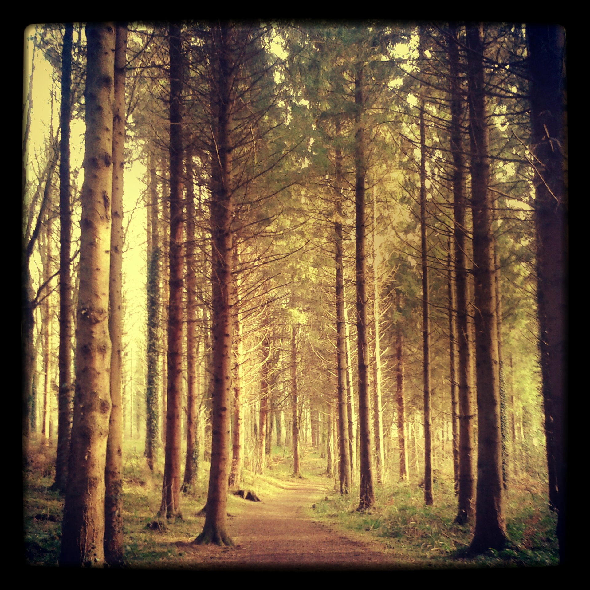
Forest Floor
Bugs life *Explored
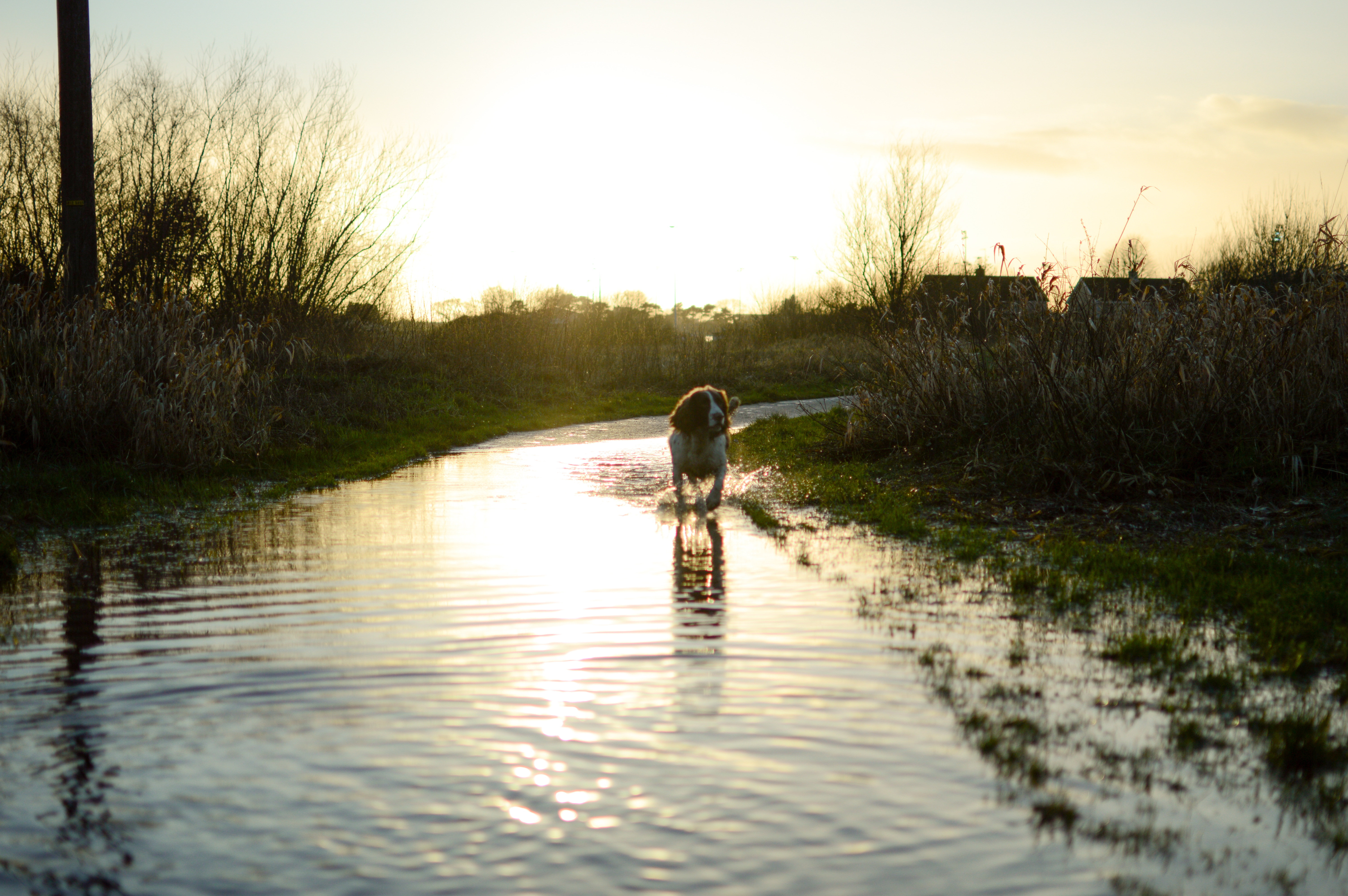
Flooded path *Explored

Dunluce reedit in Lightroom
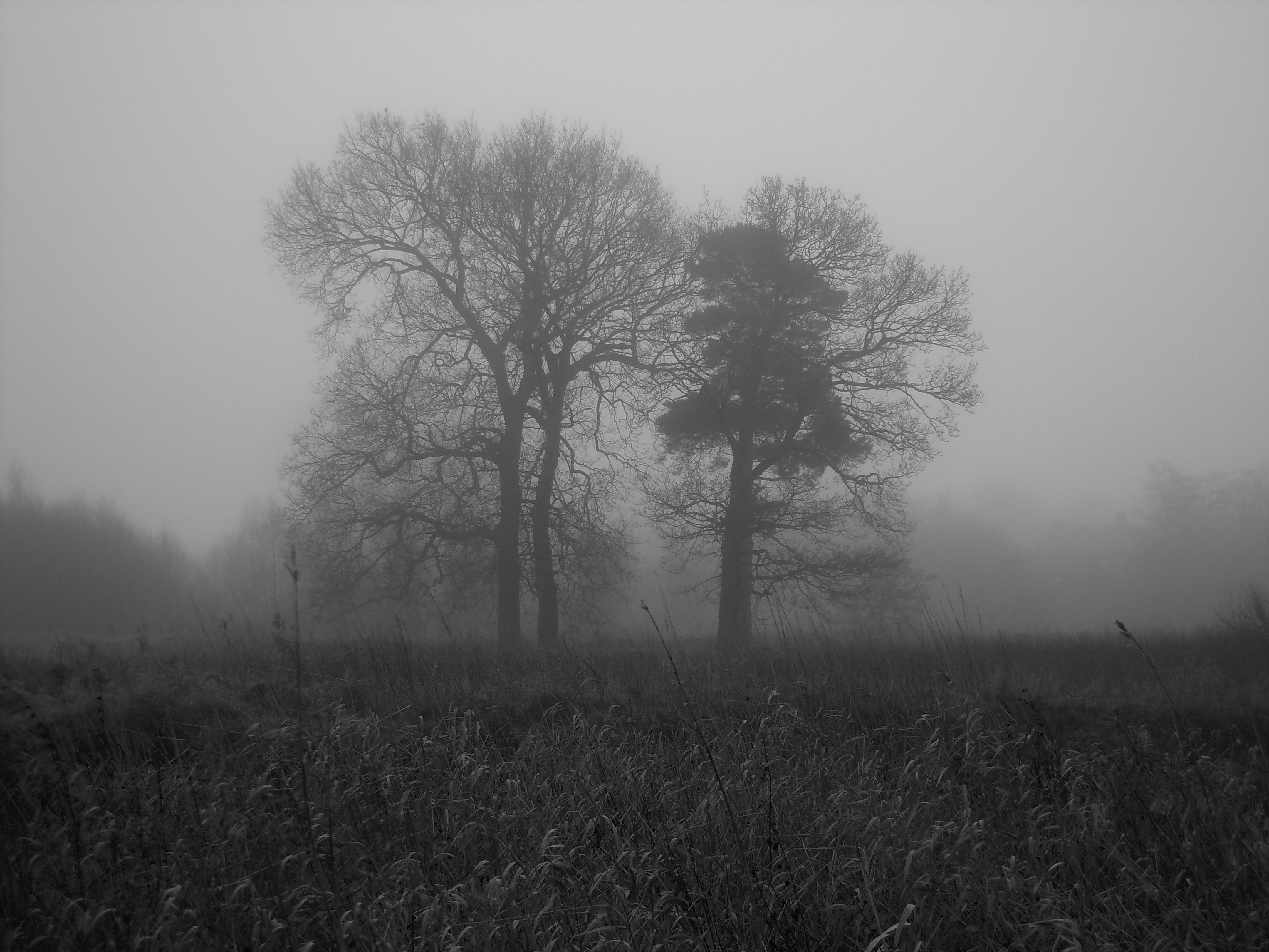
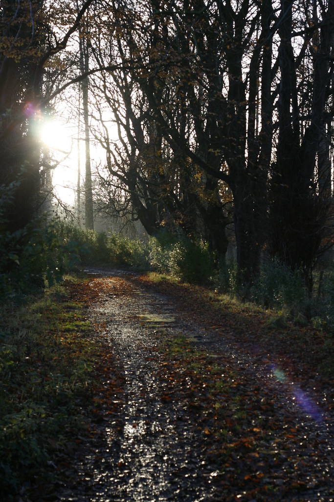
Out of the fog *Explored & Dropped
135/365 *Explored & Dropped
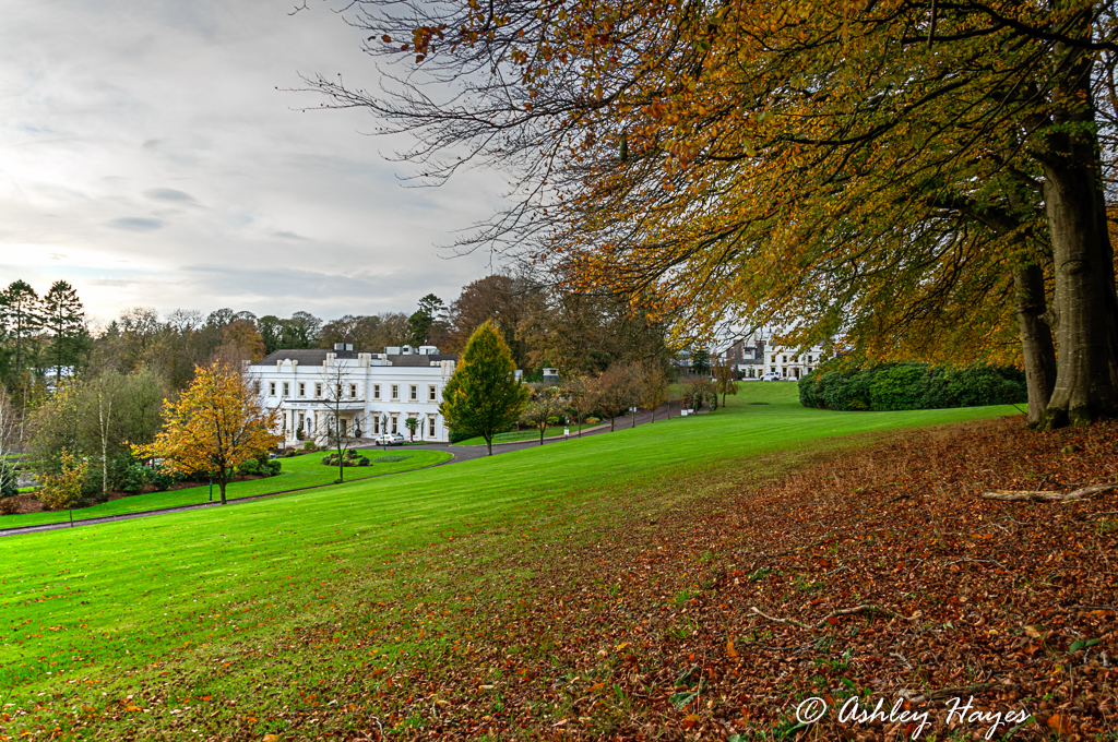
Galgorm Manor, Northern Ireland

#Ireland #northernireland #slemish #pocket_ireland #SonyImages #sonya77

Tess and Chili
Foggy start *Explored

Ecos in snow winter 2010
Currells Ave

Galgorm Manor
Topographic Map of Ballymena, UK
Find elevation by address:

Places near Ballymena, UK:
16 George St
Ballymena
Ballymena Bus Station
Norbev
Harryville Primary School
Seven Towers Leisure Centre
91 Rosses Ln
The Knowe
Galgorm Castle Golf Club
Ballygarvey
201 Galgorm Rd
Galgorm Manor
Bt42 1fd
146 Fenaghy Rd
Broughshane
Cullybackey
Dale Farm Ltd
Moneyduff Road
Cloughmills
Mid And East Antrim
Recent Searches:
- Elevation of Corso Fratelli Cairoli, 35, Macerata MC, Italy
- Elevation of Tallevast Rd, Sarasota, FL, USA
- Elevation of 4th St E, Sonoma, CA, USA
- Elevation of Black Hollow Rd, Pennsdale, PA, USA
- Elevation of Oakland Ave, Williamsport, PA, USA
- Elevation of Pedrógão Grande, Portugal
- Elevation of Klee Dr, Martinsburg, WV, USA
- Elevation of Via Roma, Pieranica CR, Italy
- Elevation of Tavkvetili Mountain, Georgia
- Elevation of Hartfords Bluff Cir, Mt Pleasant, SC, USA