Elevation of Dajipur, Shelap, Maharashtra, India
Location: India > Maharashtra > Kolhapur > Dajipur >
Longitude: 73.9102628
Latitude: 16.3590446
Elevation: 770m / 2526feet
Barometric Pressure: 92KPa
Elevation Map:
Satellite Map:
Related Photos:

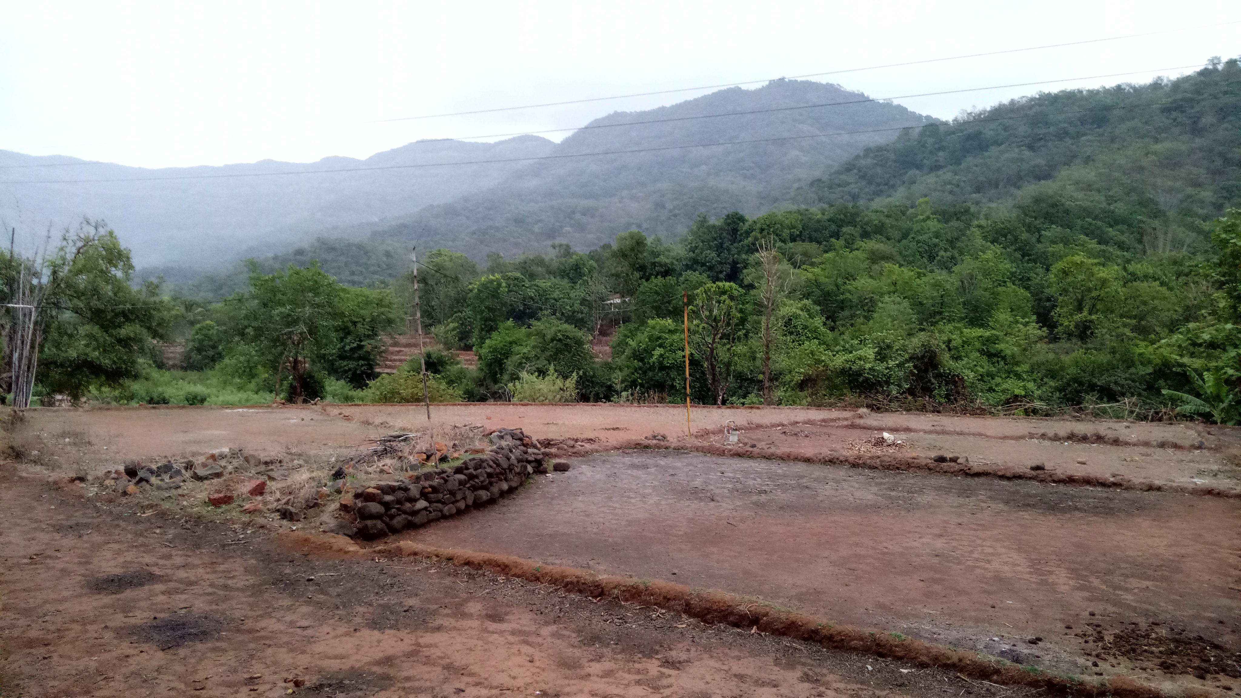
... view from Phonda Ghat

... view from Phonda Ghat

... view from Phonda Ghat

Laksmana (Sanskrit: लक्ष्मणा)

Phonda Ghat

5172

5167

5168

5169

5142

5143

5144

5145

5146

5136

5138

5139

5134

5133

5132

5122

5123

5124

5125

5127
Konkan
Topographic Map of Dajipur, Shelap, Maharashtra, India
Find elevation by address:

Places near Dajipur, Shelap, Maharashtra, India:
Olavan
Dajipur
Vidya Mandir Hasane
Phejiwade
Rautwadi Waterfall
Padali
Banachiwadi
Bhatwadi Resorts
Padasali
Rbl Bank Ltd - Ghotawade Branch
Radhanagari
Kalammawadi
Savardhan
Talgaon
Taliye Kh.
Kudutri
Kasaba Tarale
Ategaon
Kumbharwadi
Mogharde
Recent Searches:
- Elevation of Corso Fratelli Cairoli, 35, Macerata MC, Italy
- Elevation of Tallevast Rd, Sarasota, FL, USA
- Elevation of 4th St E, Sonoma, CA, USA
- Elevation of Black Hollow Rd, Pennsdale, PA, USA
- Elevation of Oakland Ave, Williamsport, PA, USA
- Elevation of Pedrógão Grande, Portugal
- Elevation of Klee Dr, Martinsburg, WV, USA
- Elevation of Via Roma, Pieranica CR, Italy
- Elevation of Tavkvetili Mountain, Georgia
- Elevation of Hartfords Bluff Cir, Mt Pleasant, SC, USA