Elevation of Cutler, KS, USA
Location: United States > Kansas > Franklin County >
Longitude: -95.122360
Latitude: 38.5202385
Elevation: 325m / 1066feet
Barometric Pressure: 97KPa
Elevation Map:
Satellite Map:
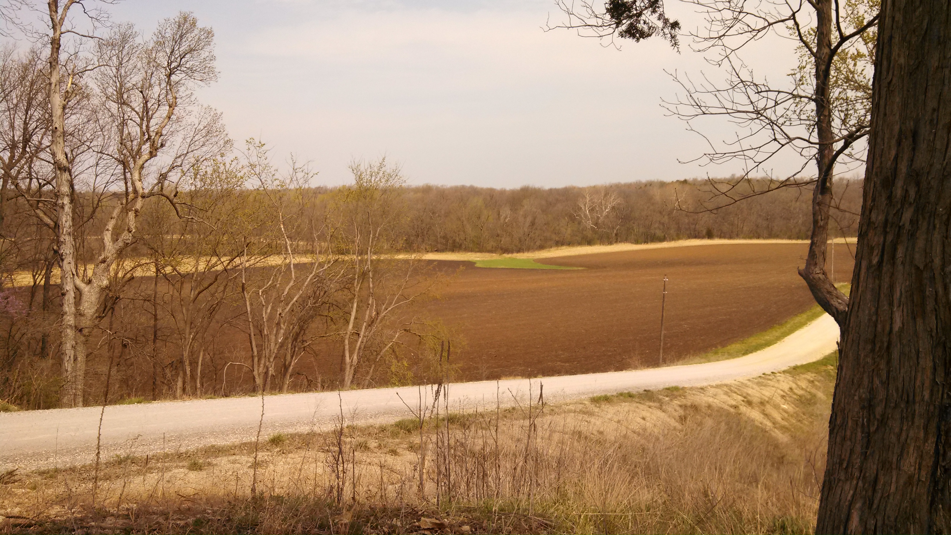
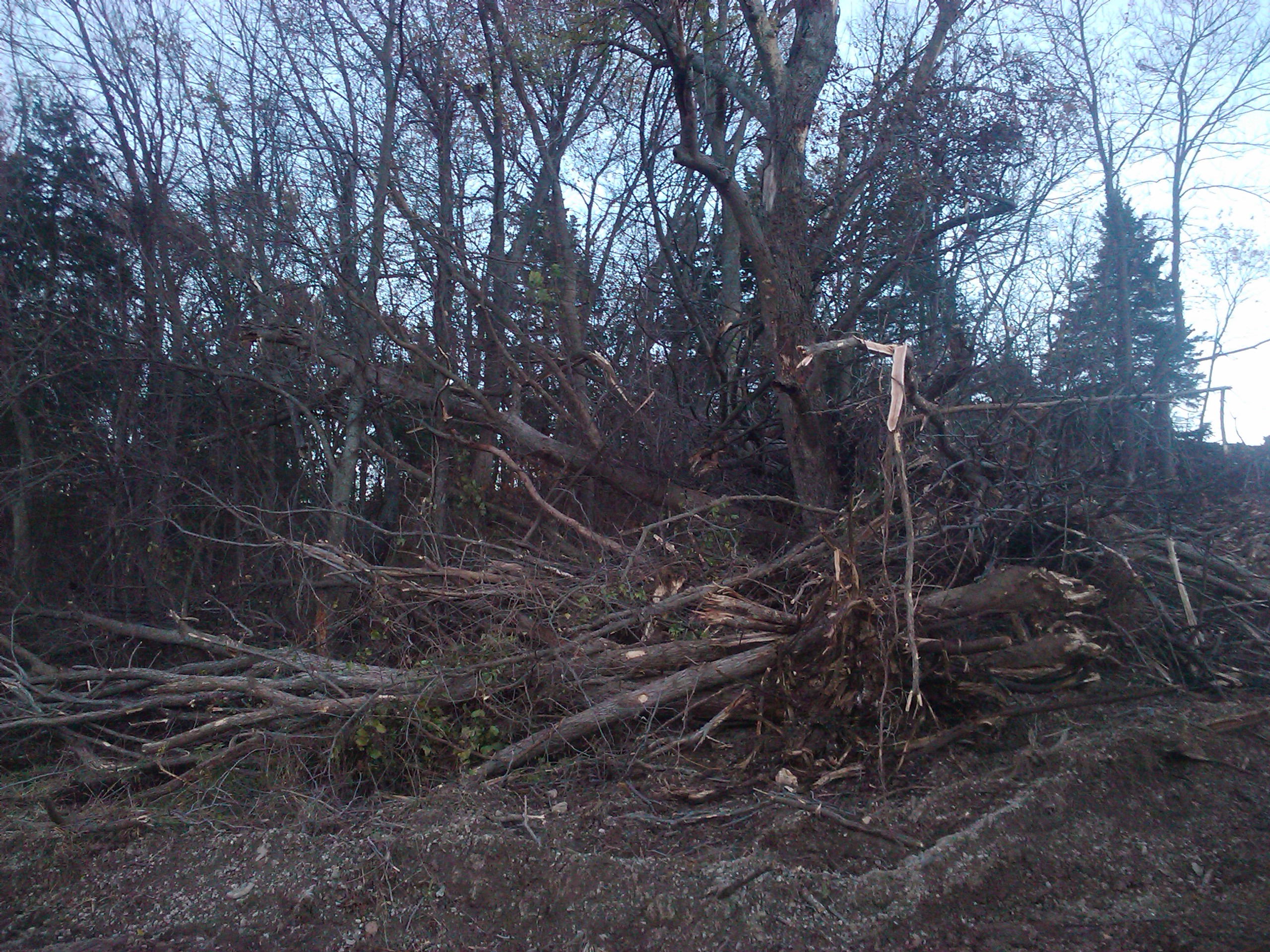
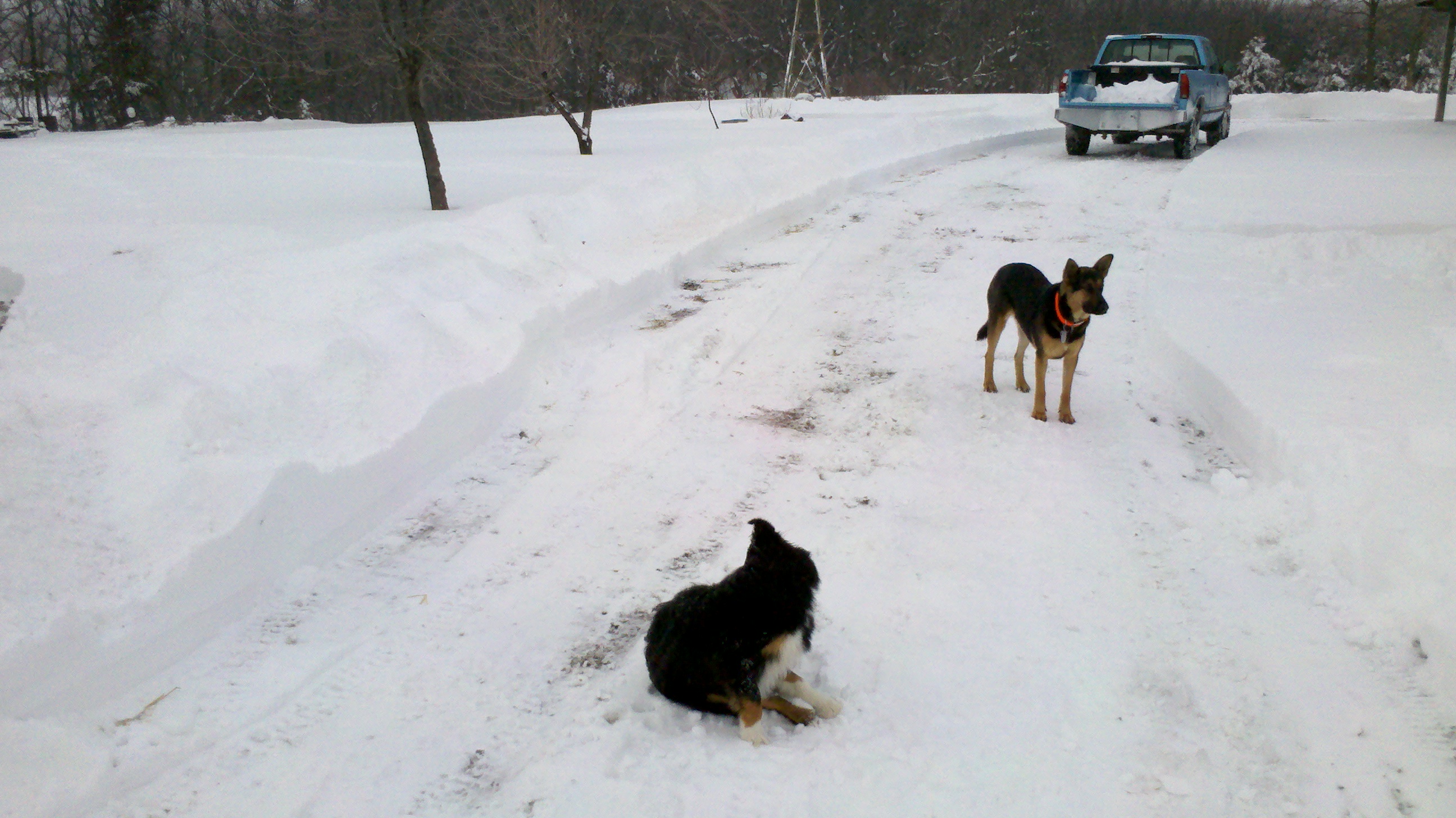
Related Photos:
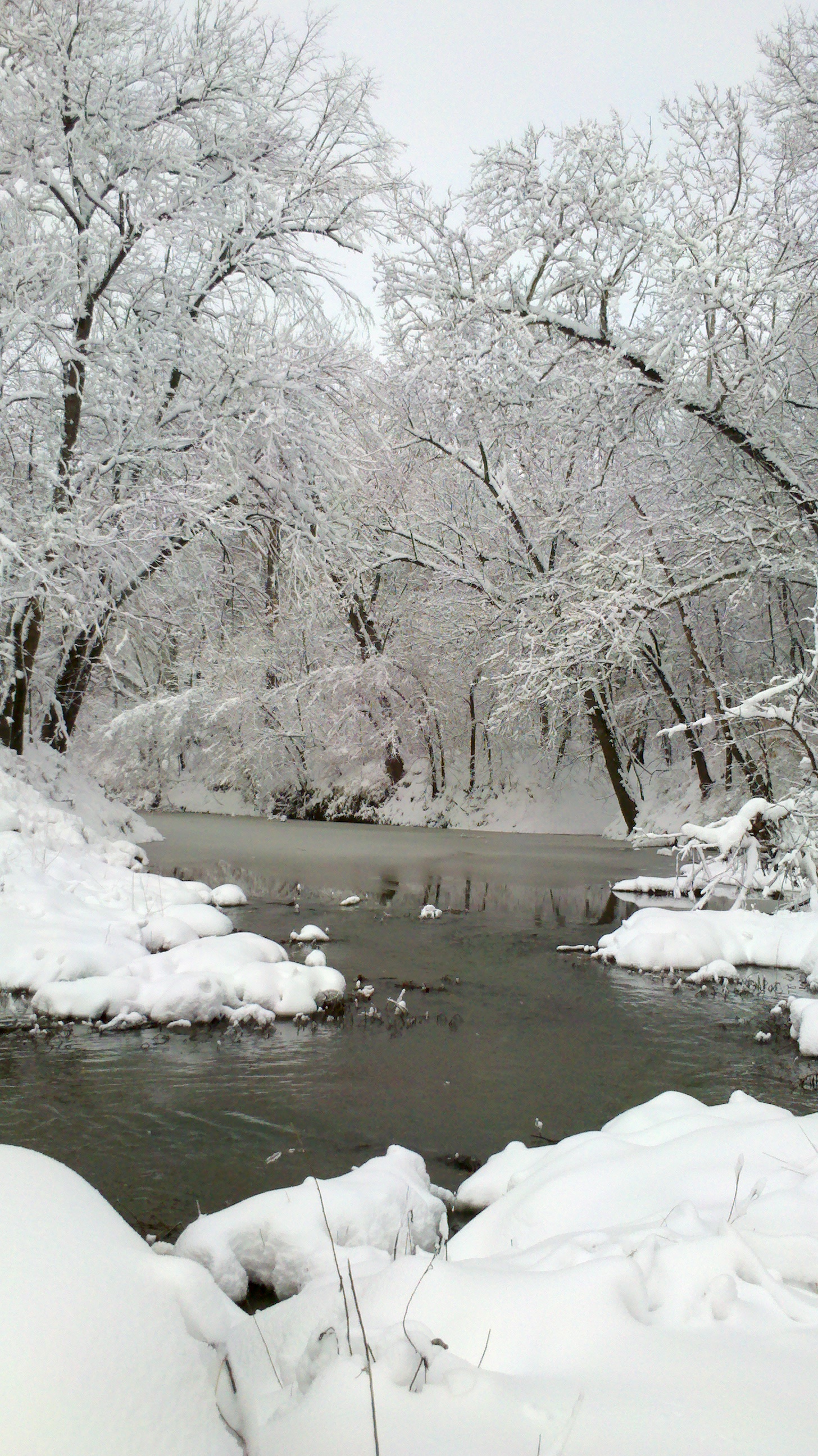
2015-03-01 08.33.23
2013-03-24 11.13.05

2013-03-24 11.14.37

2013-03-24 11.14.34
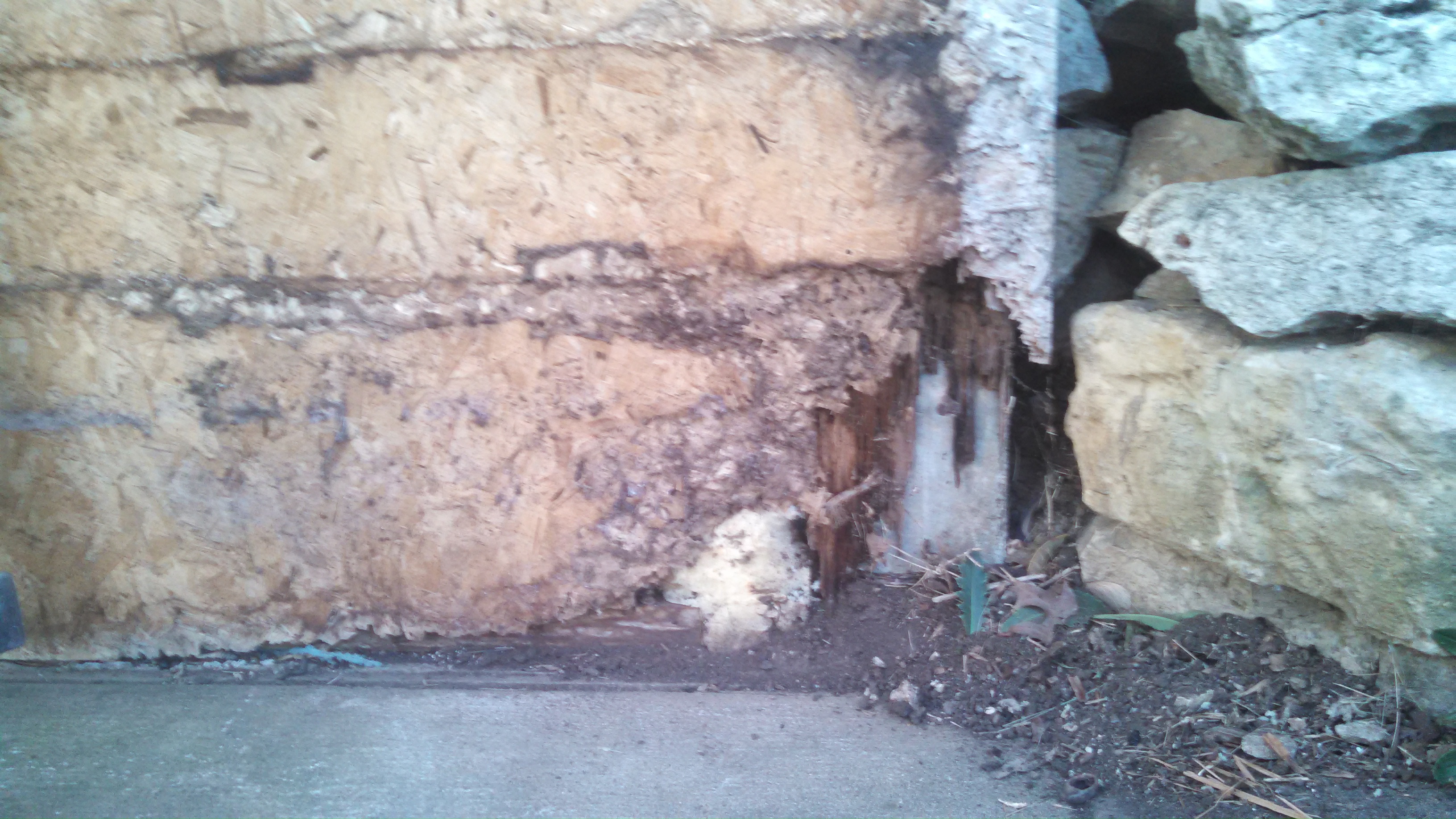
Study in Decay

2013-03-24 11.15.06

2015-03-01 08.33.10

2013-03-24 11.15.35
prairie-trail-view-nov12b-1
2014-04-20 22.33.34
2013-03-24 11.12.47
Haunted House Entrance

2015-03-01 18.05.26
2014-04-20 22.33.19

Back To The Future
Anybody Pass Through Here Lately?
2014-07-20 18.23.39

2013-03-24 11.14.46
2013-03-24 11.16.13
2013-03-24 11.15.58
Final Eclipse
2015-03-01 18.26.29
Feathered Star

2014-07-31 19.17.47
2013-02-21 17.08.30
2014-04-20 11.18.53
2010-11-02 18.21.14
2013-02-21 17.08.26
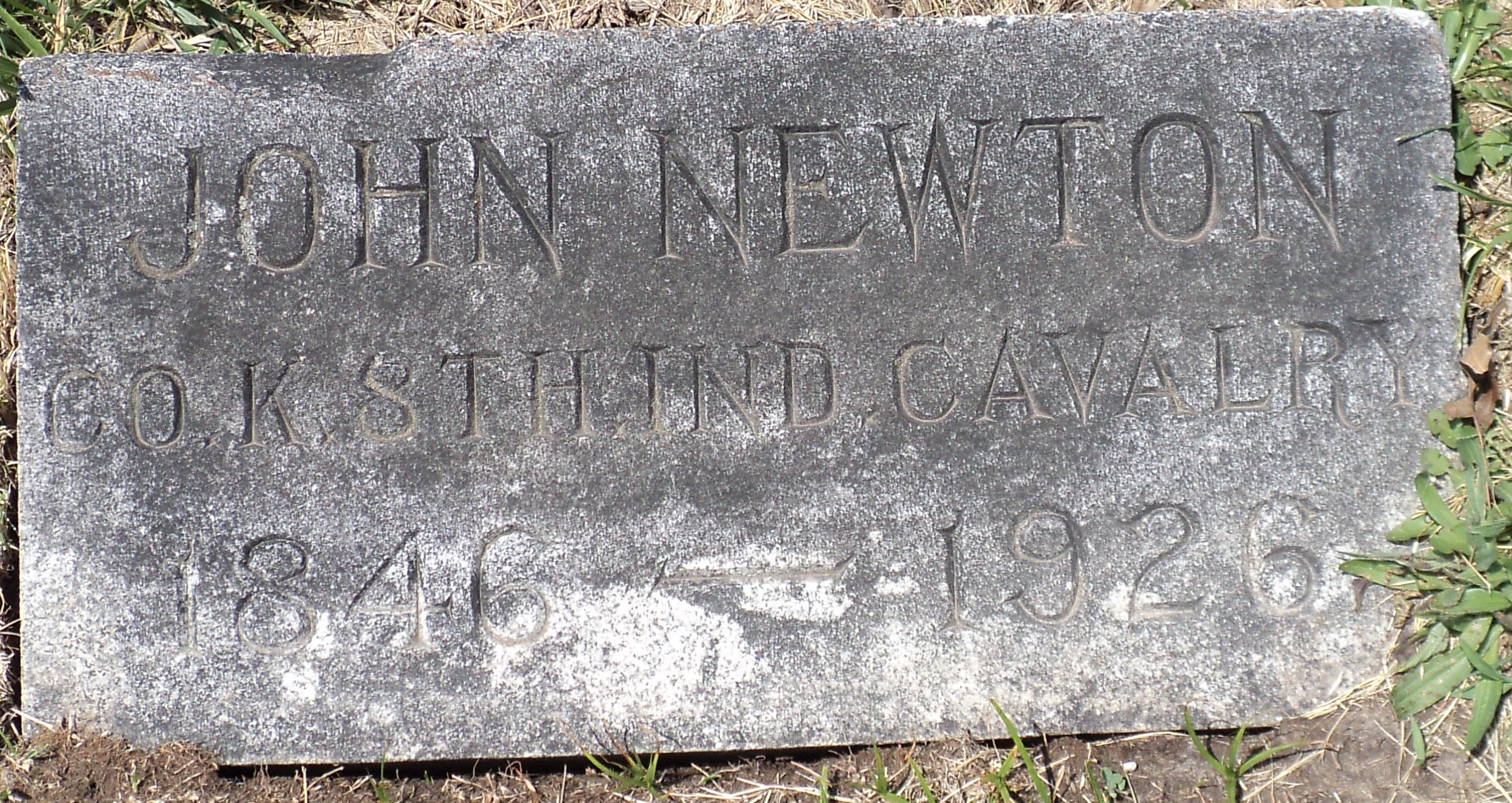
John Newton Harrison
2014-07-31 06.33.07

2012-08-31_16-31-32_739
2013-03-24 11.14.52
Topographic Map of Cutler, KS, USA
Find elevation by address:

Places in Cutler, KS, USA:
Places near Cutler, KS, USA:
1760 Vermont Rd
Rantoul
S Elm St, Rantoul, KS, USA
Tennessee Terrace, Rantoul, KS, USA
Peoria
Stanton
32211 Bethel Church Rd
32380 Crescent Hill Rd #6606r
245 Megan Ln
1234 S Lincoln St
508 15th St Terrace
504 12th St
1139 Main St
Osawatomie
S Hickory St, Ottawa, KS, USA
526 Main St
Ottawa
100 Main St
N Main St, Ottawa, KS, USA
45690 Staff Dr
Recent Searches:
- Elevation of Corso Fratelli Cairoli, 35, Macerata MC, Italy
- Elevation of Tallevast Rd, Sarasota, FL, USA
- Elevation of 4th St E, Sonoma, CA, USA
- Elevation of Black Hollow Rd, Pennsdale, PA, USA
- Elevation of Oakland Ave, Williamsport, PA, USA
- Elevation of Pedrógão Grande, Portugal
- Elevation of Klee Dr, Martinsburg, WV, USA
- Elevation of Via Roma, Pieranica CR, Italy
- Elevation of Tavkvetili Mountain, Georgia
- Elevation of Hartfords Bluff Cir, Mt Pleasant, SC, USA