Elevation of Curran Rd, Ione, CA, USA
Location: United States > California > Amador County > Ione >
Longitude: -120.94792
Latitude: 38.272297
Elevation: 84m / 276feet
Barometric Pressure: 100KPa
Elevation Map:
Satellite Map:
Related Photos:
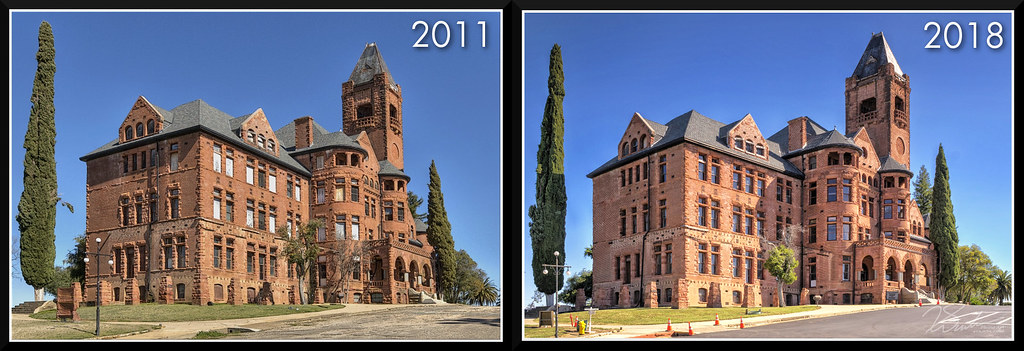
PrestonCastle-2011vs2018
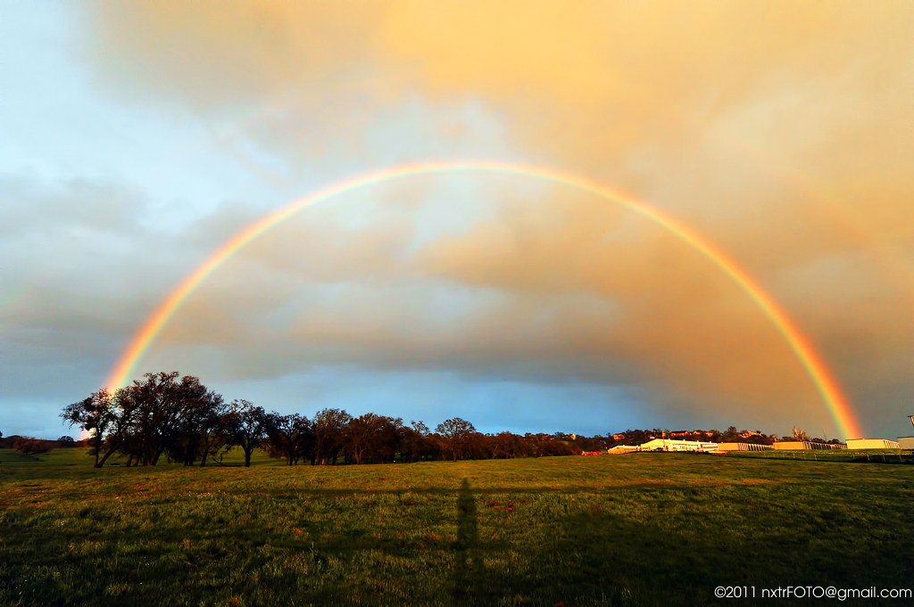
Somewhere over the Rainbow, is another Rainbow!

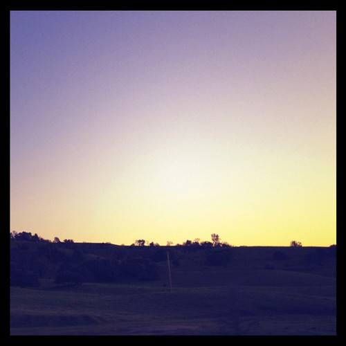
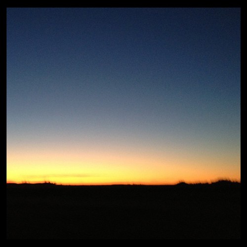
Riding into the Sunset #1
DSC_0414-a1

IMG_0113-a2
IMG_0115-a3
IMG_0112-a1
DSC_0418-a4
DSC_0420-a6
DSC_0419-a5

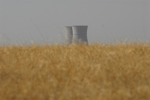
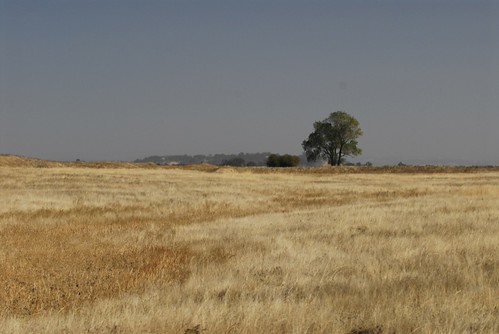
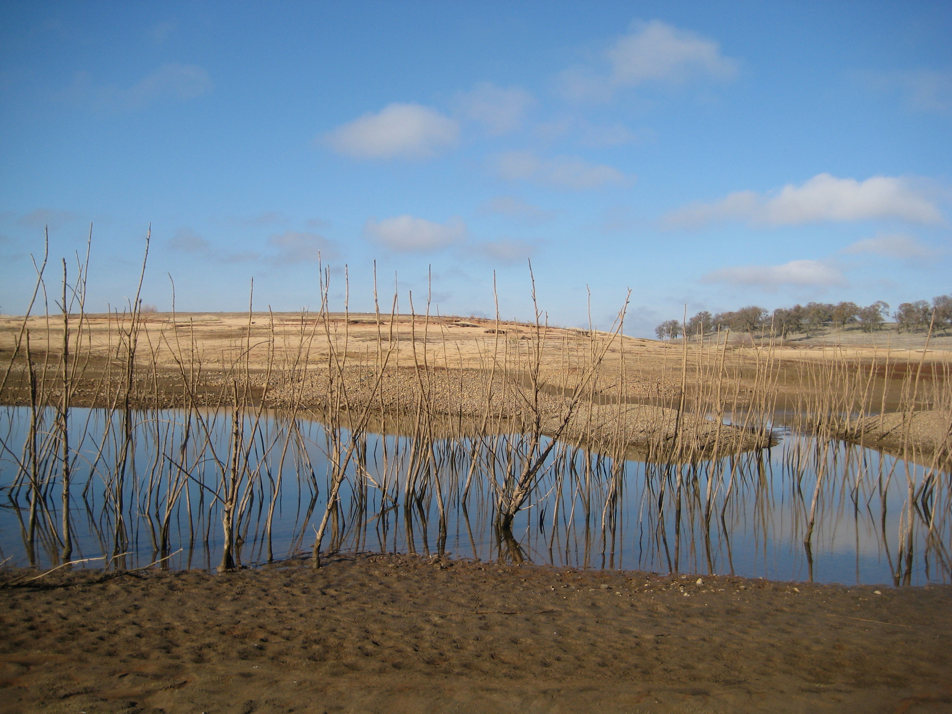
Rancho Seco Willlow
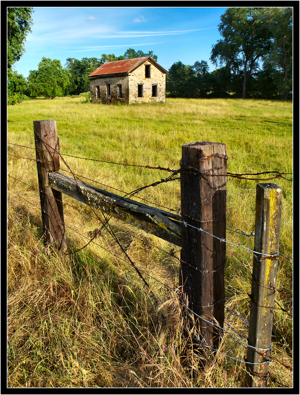
Abandoned Stone House
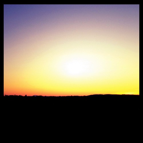
#california #sunset
Howard Ranch Hike045.JPG
#sunset #california
#california #sunset #nofilter
Howard Ranch Hike026.JPG
Howard Ranch Hike040.JPG
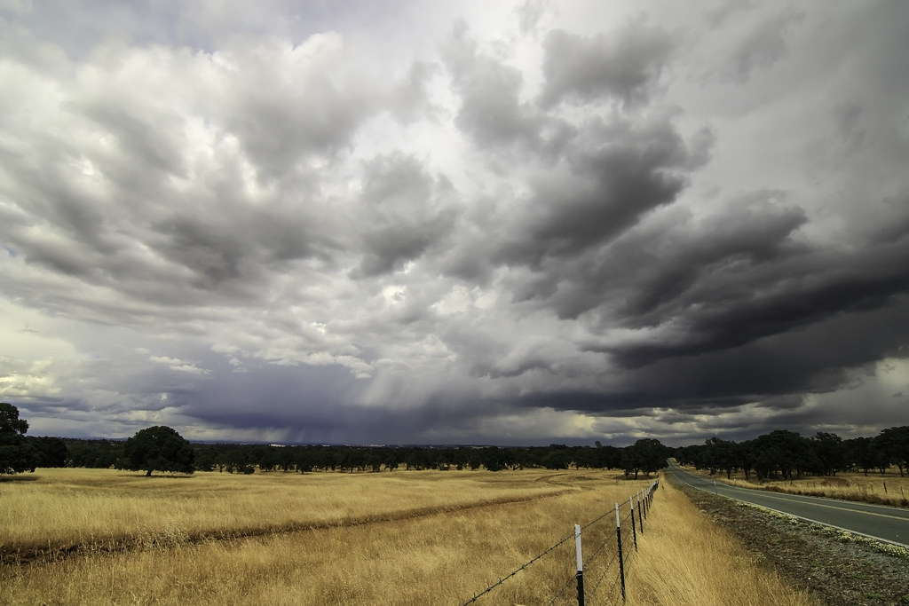
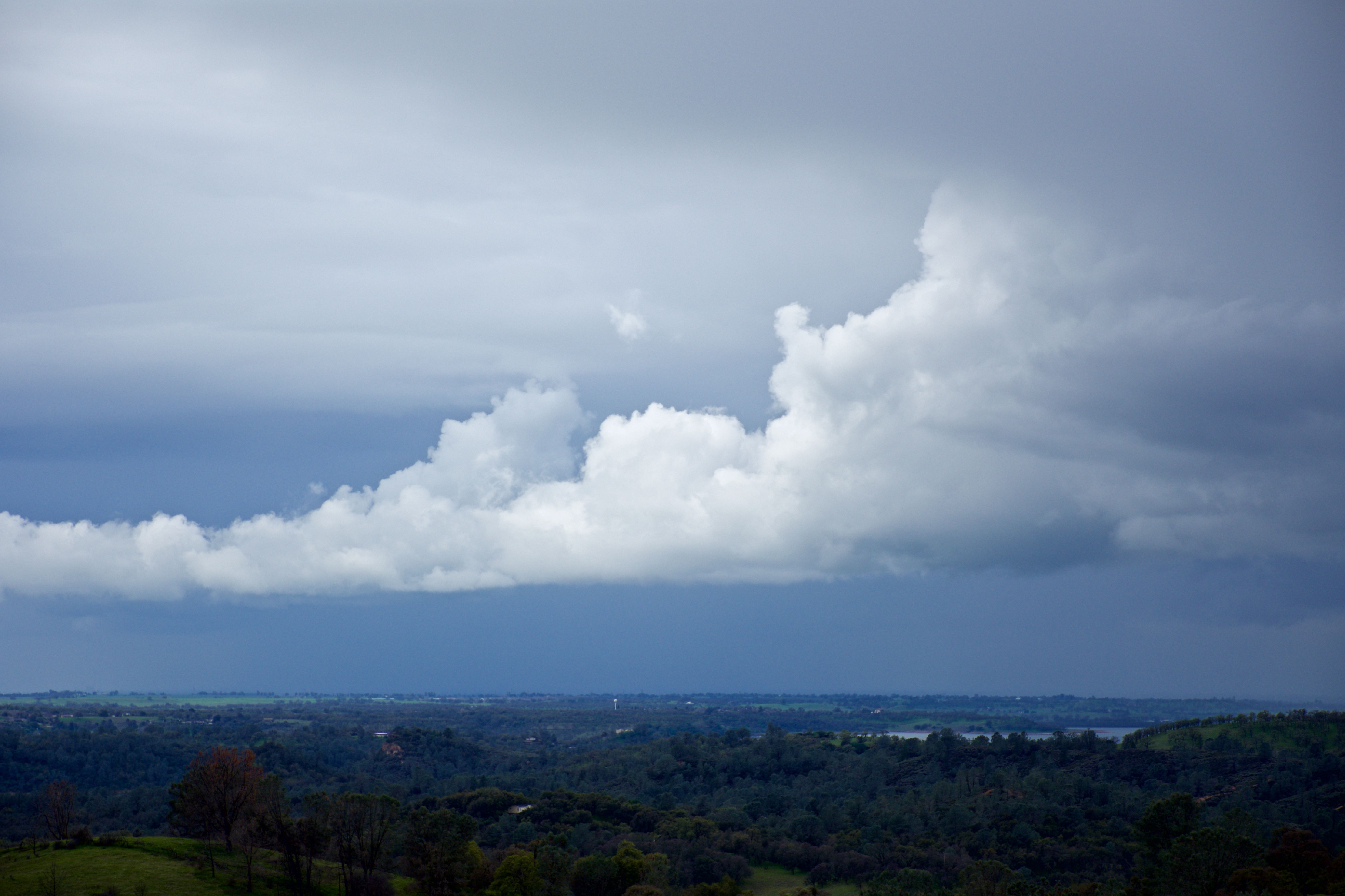
June's stormy day
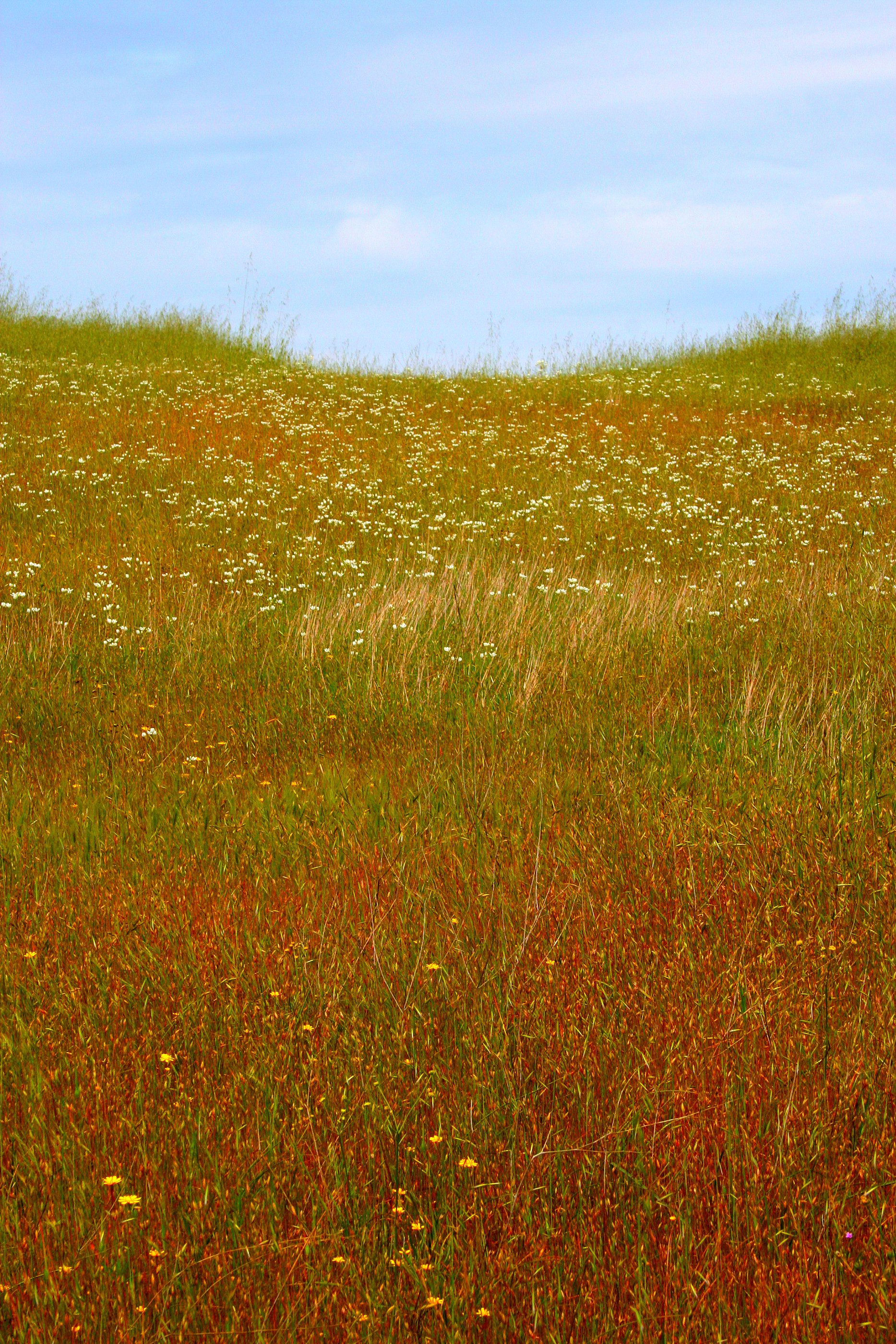
IMG_6191 Meadow
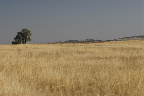
Howard Ranch Hike021.JPG
IMG_1156.JPG
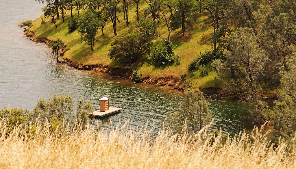
Shoreline Outhouse
Topographic Map of Curran Rd, Ione, CA, USA
Find elevation by address:

Places near Curran Rd, Ione, CA, USA:
4200 Curran Rd
4030 Reservation Rd
Curran Road
4641 Roadrunner Dr
2924 Village Dr
Grapevine Gulch Rd, Ione, CA, USA
4098 Camanche Pkwy N
2600 Grapevine Gulch Rd
Camanche Recreation Company _ North Shore
1835 Goose Creek Ct
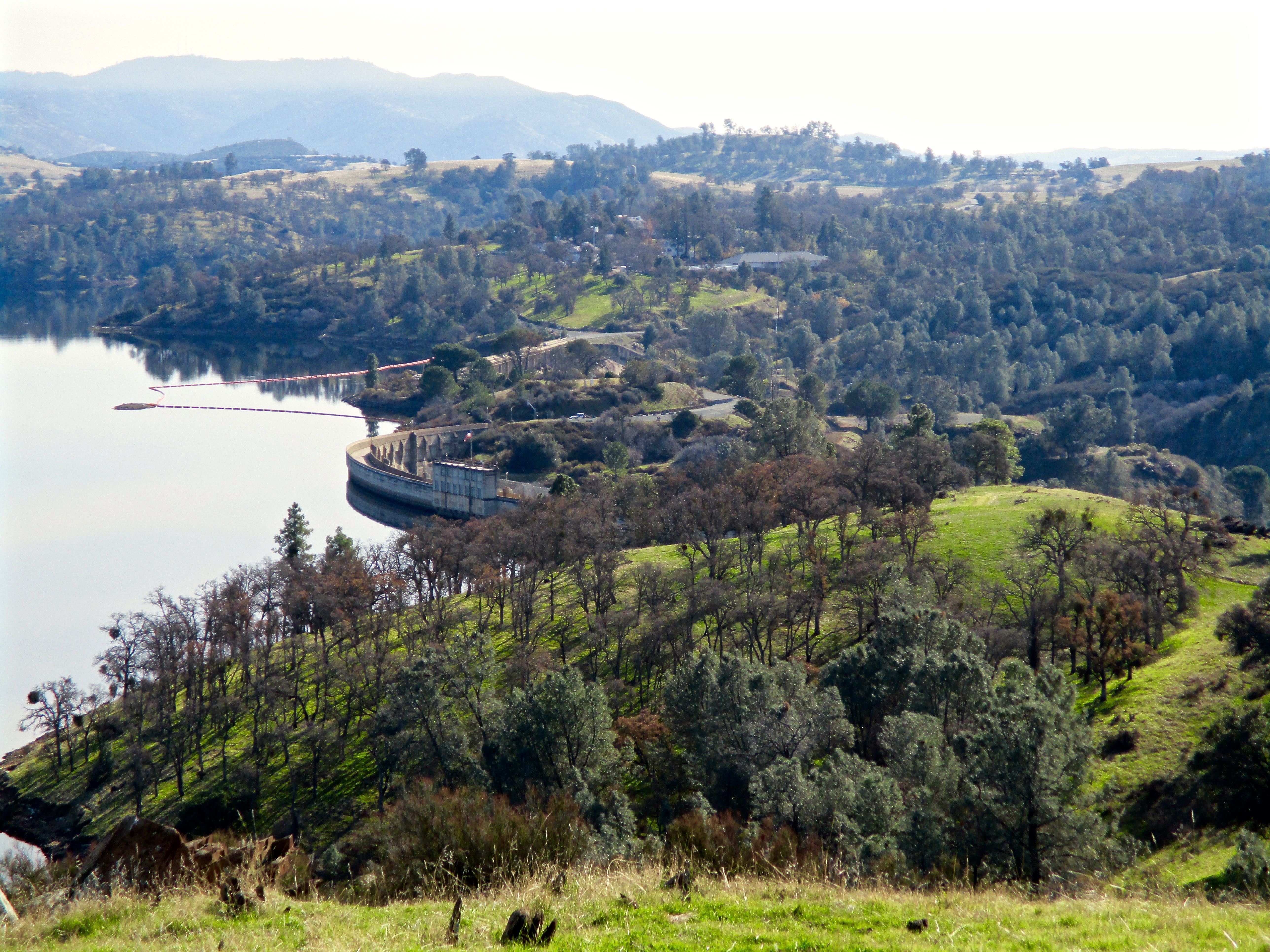
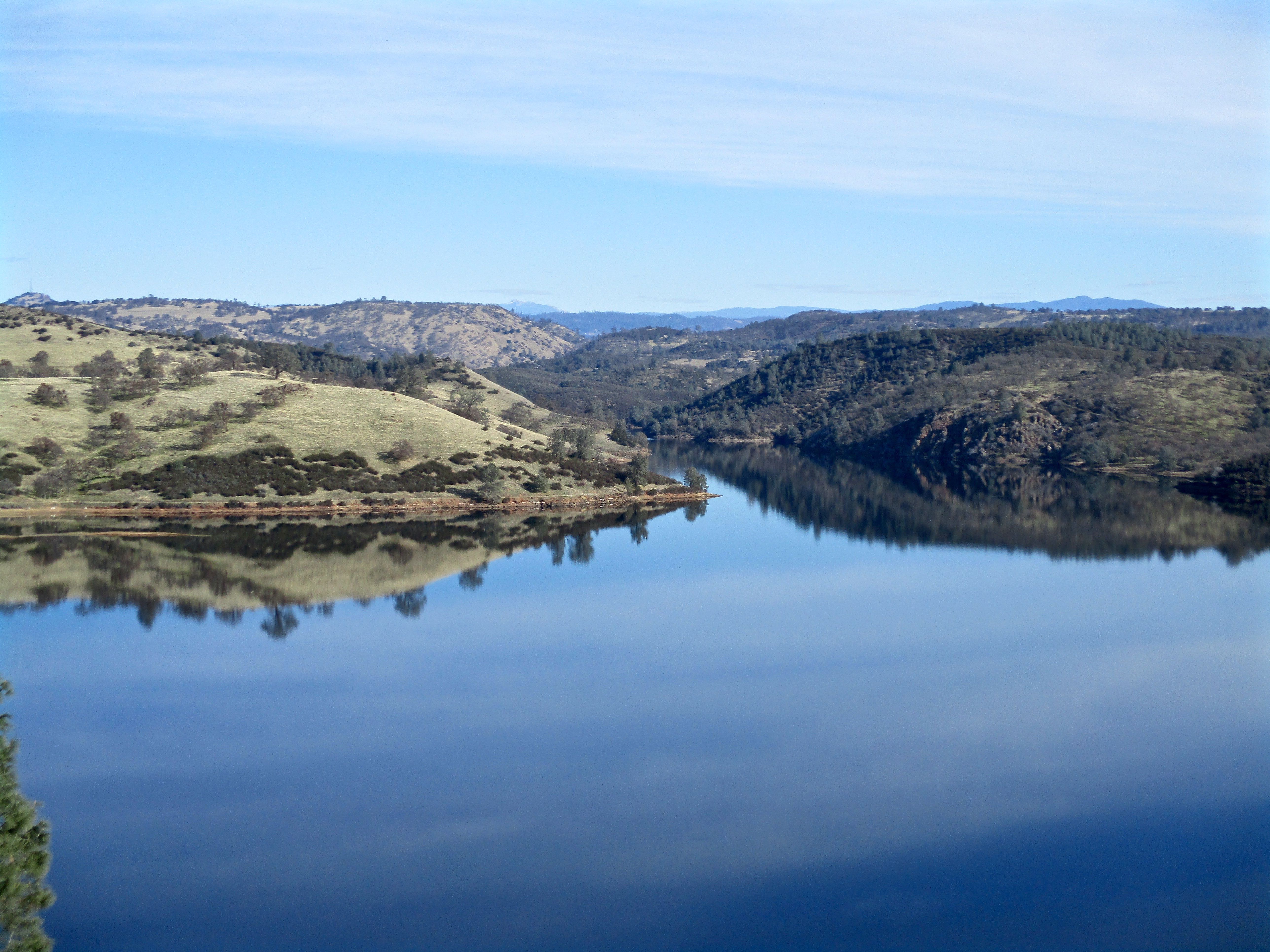
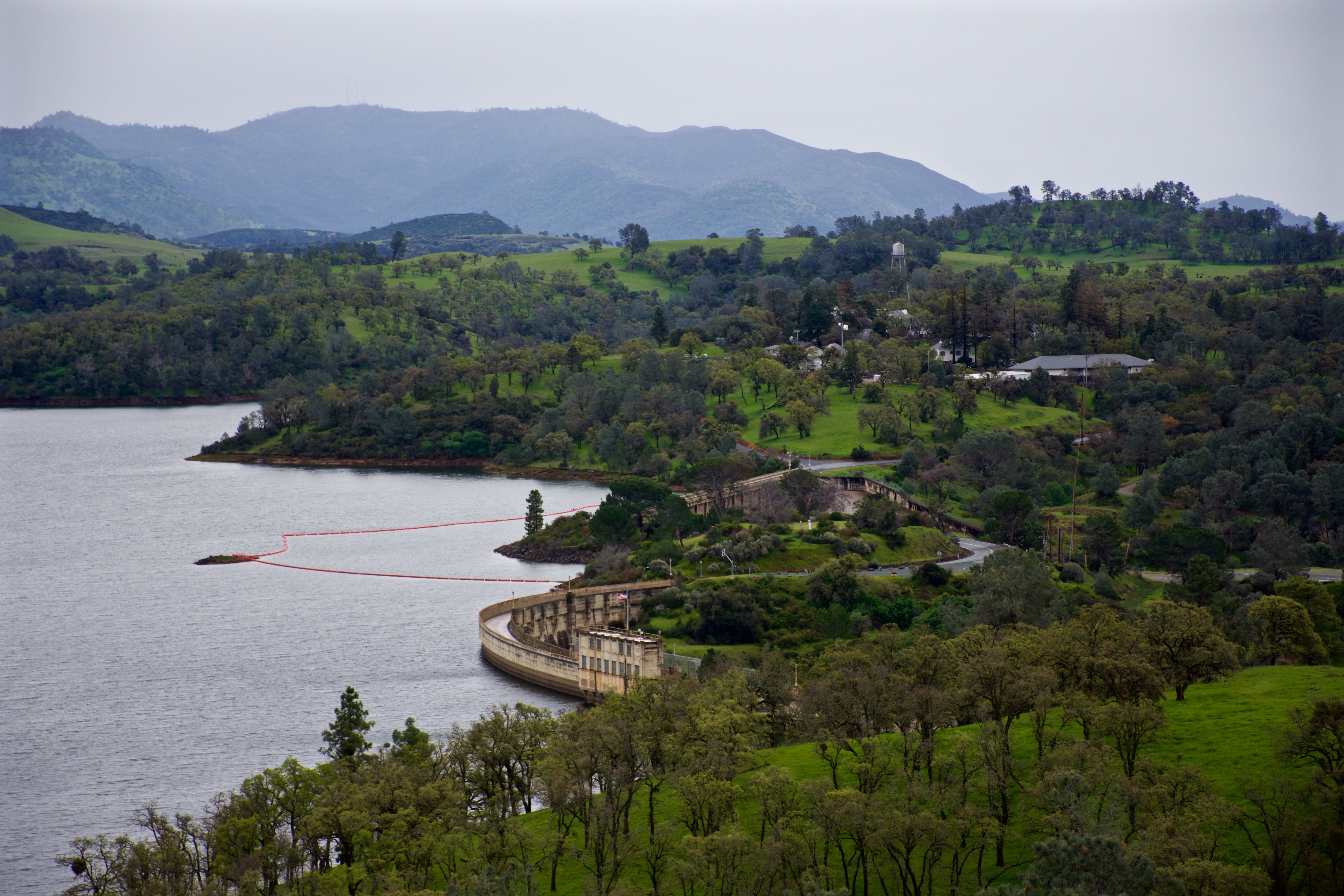
Camanche Reservoir
CA-12, Valley Springs, CA, USA
Wallace
21953 Ca-88
21953 Ca-88
21953 Ca-88
21953 Ca-88
21953 Ca-88
21953 Ca-88
3464 Liberty Rd
Recent Searches:
- Elevation of Corso Fratelli Cairoli, 35, Macerata MC, Italy
- Elevation of Tallevast Rd, Sarasota, FL, USA
- Elevation of 4th St E, Sonoma, CA, USA
- Elevation of Black Hollow Rd, Pennsdale, PA, USA
- Elevation of Oakland Ave, Williamsport, PA, USA
- Elevation of Pedrógão Grande, Portugal
- Elevation of Klee Dr, Martinsburg, WV, USA
- Elevation of Via Roma, Pieranica CR, Italy
- Elevation of Tavkvetili Mountain, Georgia
- Elevation of Hartfords Bluff Cir, Mt Pleasant, SC, USA