Elevation of Crissara Dr, Watsonville, CA, USA
Location: United States > California > Santa Cruz County > Watsonville >
Longitude: -121.77323
Latitude: 36.930357
Elevation: 20m / 66feet
Barometric Pressure: 101KPa
Elevation Map:
Satellite Map:
Related Photos:

Long-billed Curlew
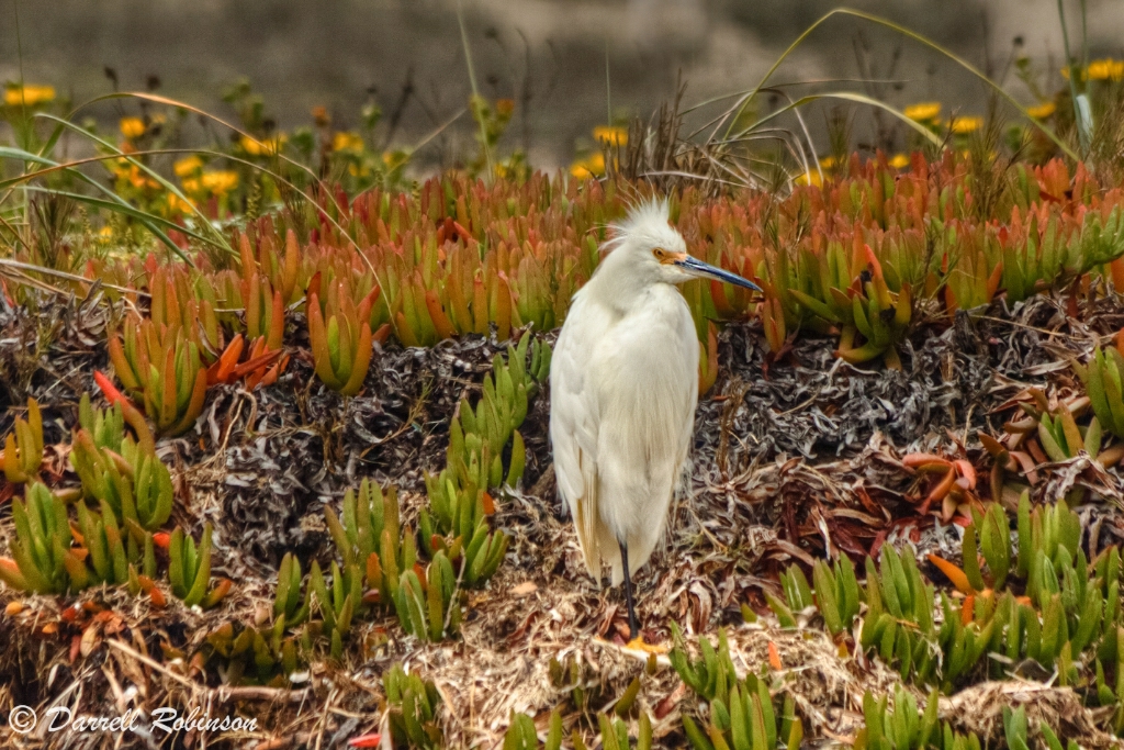
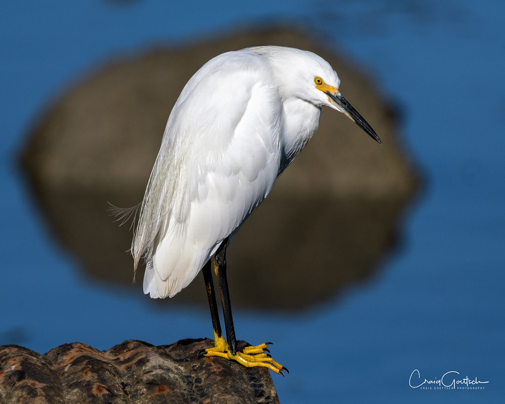
Not Blending In
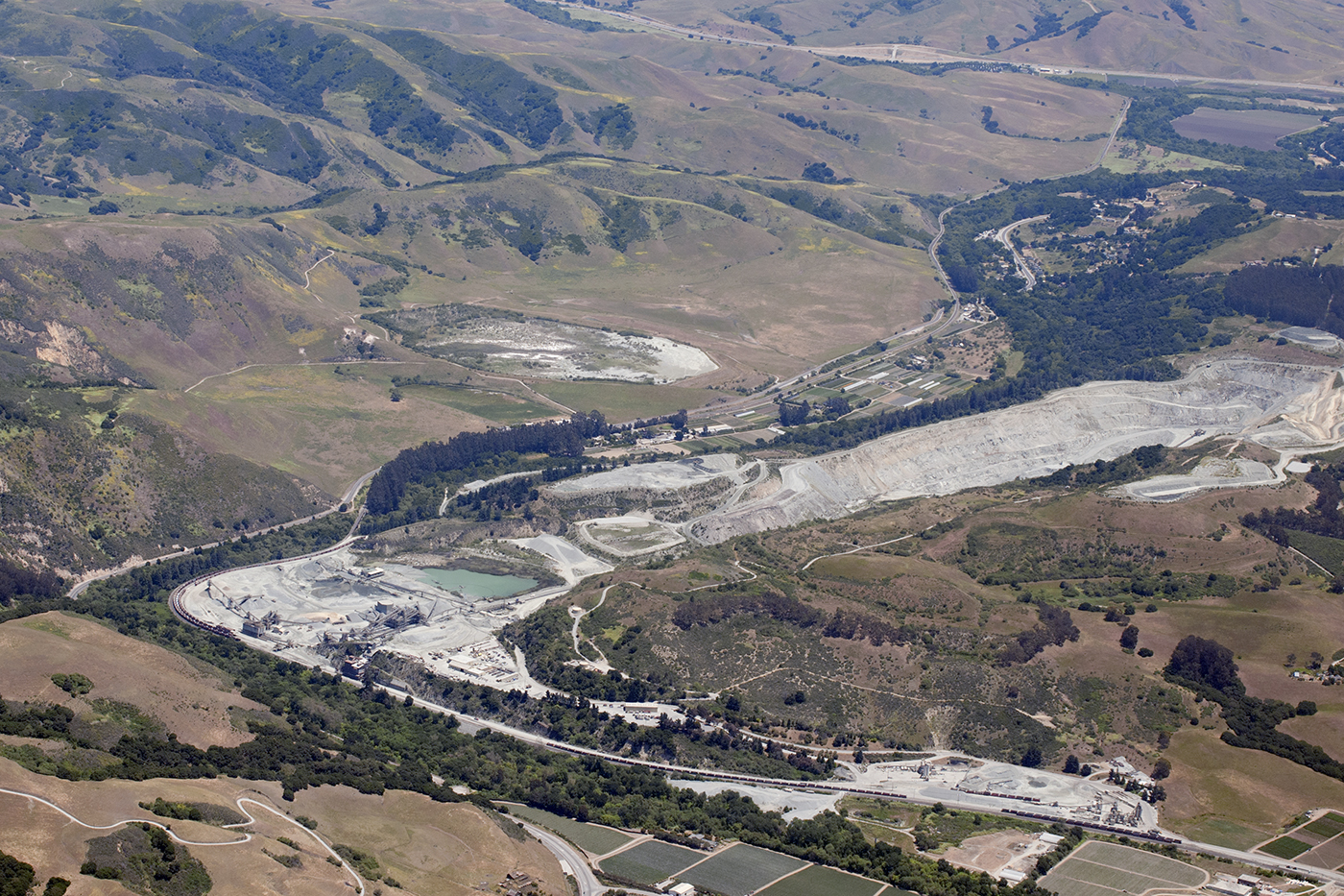
Aerial view of the San Andreas Fault and Graniterock Quarry, San Benito and Santa Cruz Counties, California
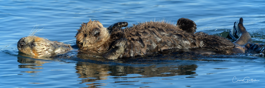
Safe and sound
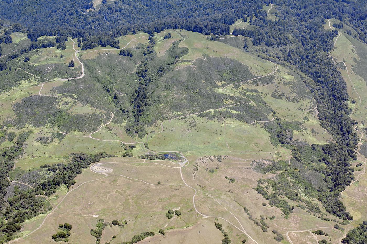
Aerial view of the San Andreas Fault, a sag pond, and a side-hill bench, Watsonville, Santa Cruz County, California

"Mom!!..Mom!!..Mom!!..Mom!!..Mom!!........"
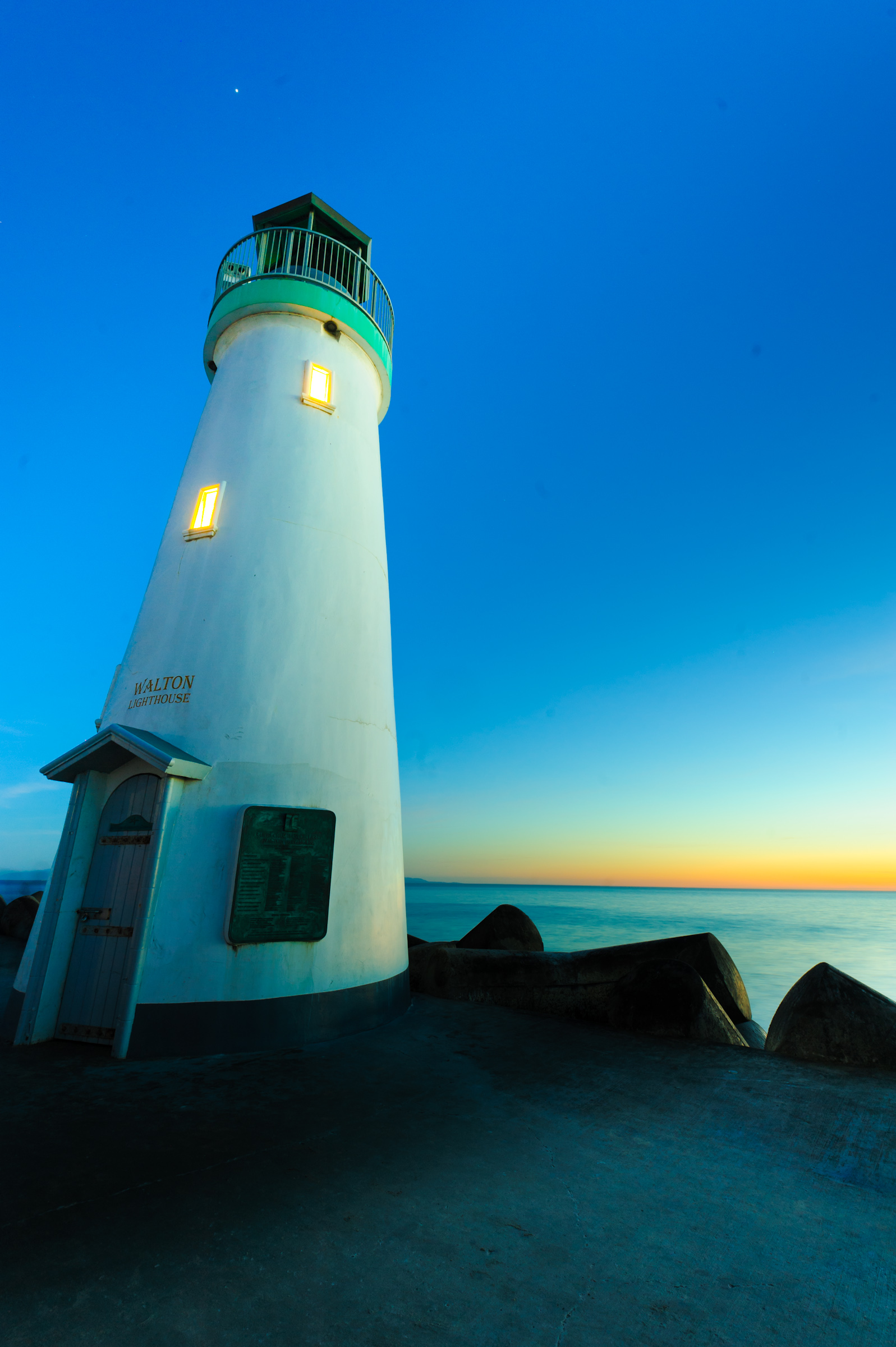
A house of light
Heading Out
Manresa State Beach
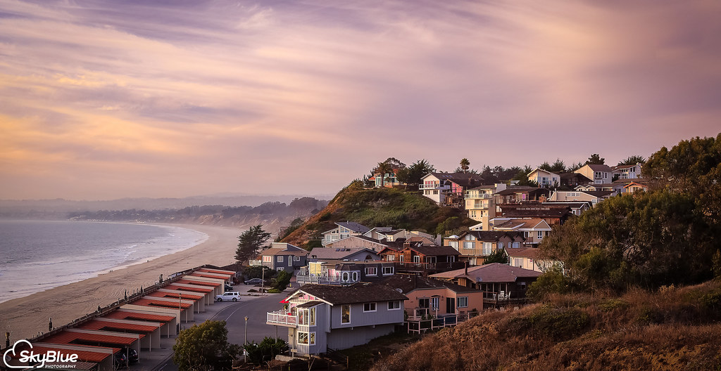
Rio Del Mar Beach, Aptos Ca. March 25, 2005
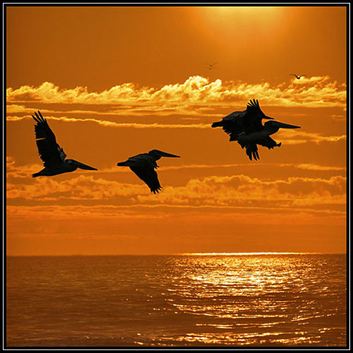
Winged Glider
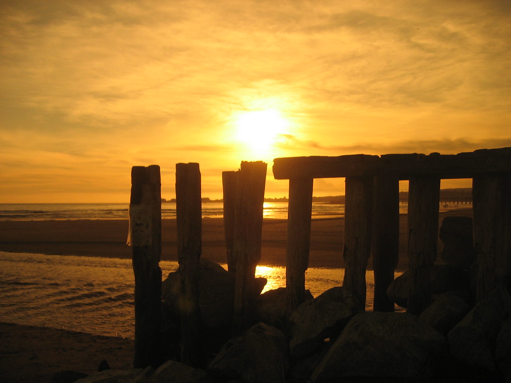
last pier standing
Elkhorn Slough
Altar View
Impatiently Waiting
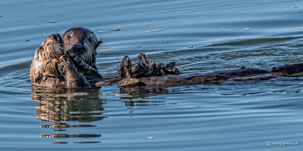
Protective Mother
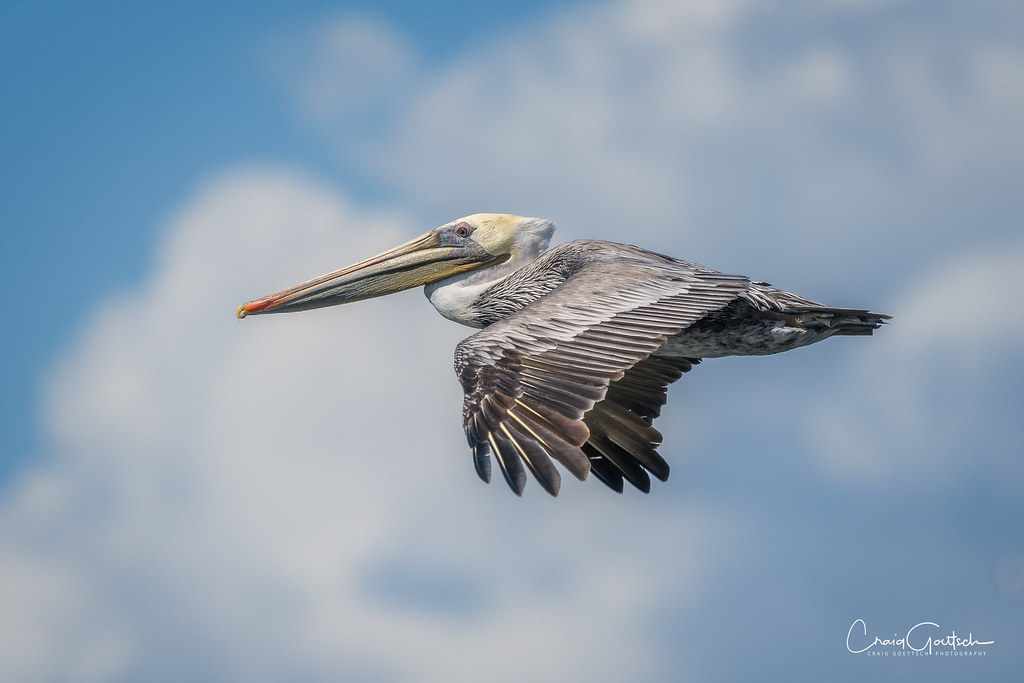
Brown Pelican

Hexagonal Sunset

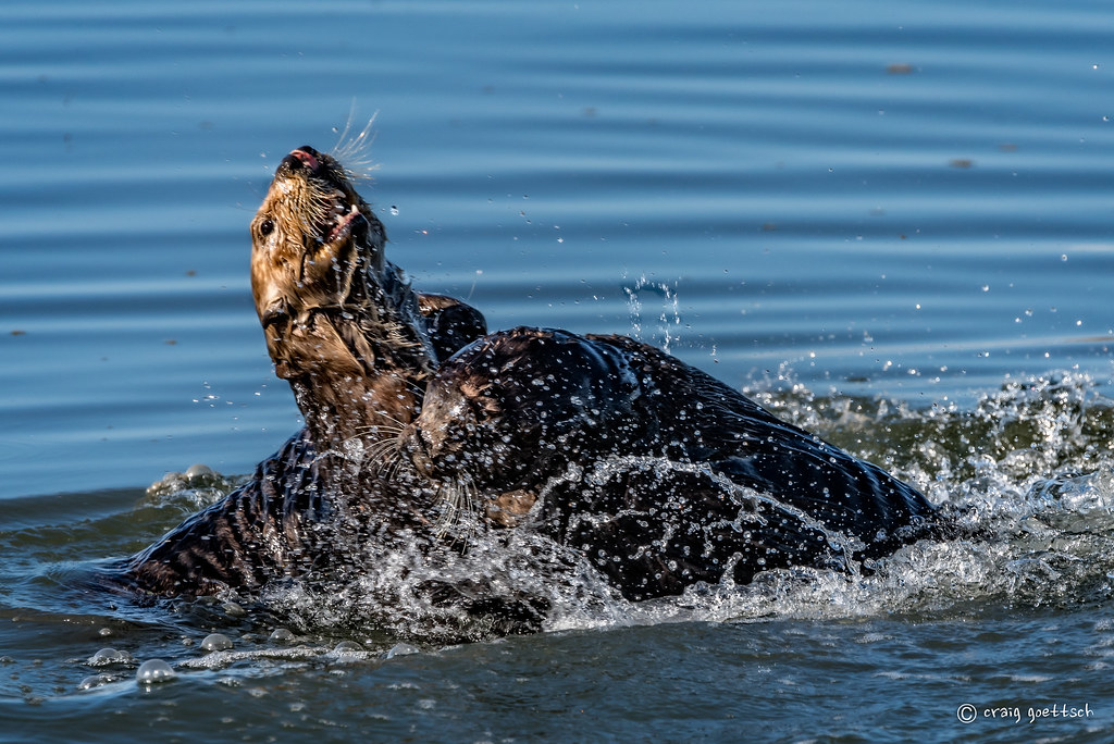
What's THIS?
Hanging Out
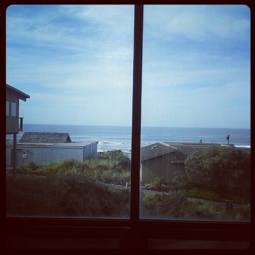
View from the deck of the house we're staying in
Topographic Map of Crissara Dr, Watsonville, CA, USA
Find elevation by address:

Places near Crissara Dr, Watsonville, CA, USA:
187 Green Valley Rd
30 Stewart Ave, Freedom, CA, USA
Dove Court
294 Anna St
59 Roosevelt St
3 Bradford Rd
677 Buena Vista Dr
Freedom
Kliewer Ln, Watsonville, CA, USA
772 Amesti Rd
Amesti Road
17 Karen Dr
140 Palomino Ct
Larkin Valley Road
11 Crest Dr, La Selva Beach, CA, USA
26 Browns Valley Rd, Corralitos, CA, USA
55 Crest Dr
Corralitos
887 Larkin Valley Rd
887 Larkin Valley Rd
Recent Searches:
- Elevation of Corso Fratelli Cairoli, 35, Macerata MC, Italy
- Elevation of Tallevast Rd, Sarasota, FL, USA
- Elevation of 4th St E, Sonoma, CA, USA
- Elevation of Black Hollow Rd, Pennsdale, PA, USA
- Elevation of Oakland Ave, Williamsport, PA, USA
- Elevation of Pedrógão Grande, Portugal
- Elevation of Klee Dr, Martinsburg, WV, USA
- Elevation of Via Roma, Pieranica CR, Italy
- Elevation of Tavkvetili Mountain, Georgia
- Elevation of Hartfords Bluff Cir, Mt Pleasant, SC, USA