Elevation of Crestwood Arch, Lexington, SC, USA
Location: United States > South Carolina > Lexington County > Lexington >
Longitude: -81.223526
Latitude: 33.9224131
Elevation: 114m / 374feet
Barometric Pressure: 100KPa
Elevation Map:
Satellite Map:
Related Photos:

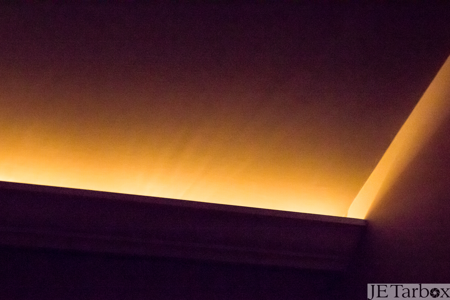
White In Blackness

Simplicity: torch
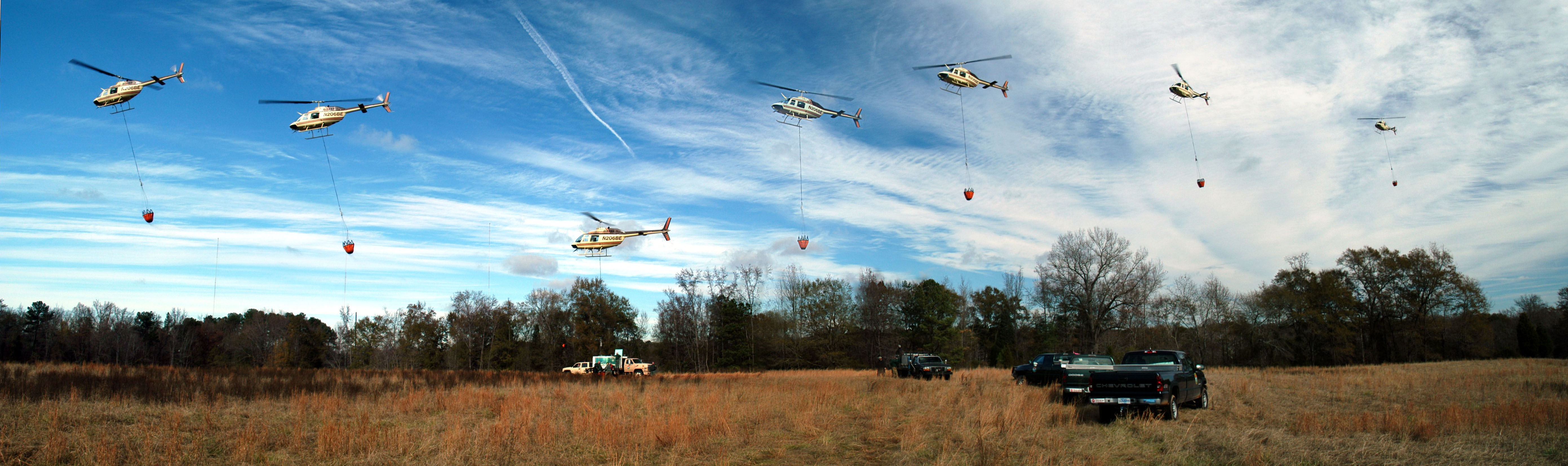
Helicopter Trout Stocking in the Lower Saluda River
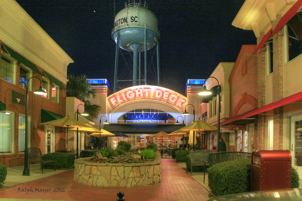
Night view of the Flight Deck Restaurant in Lexington, SC

Dusk view of the Flight Deck restaurant in Lexington, SC

Abandoned Restaurant Front Entrance
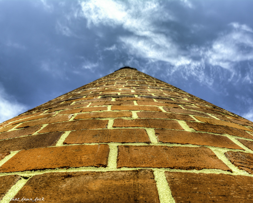
Looking Up the Old Lexington Mill Tower in Lexington South Carolina
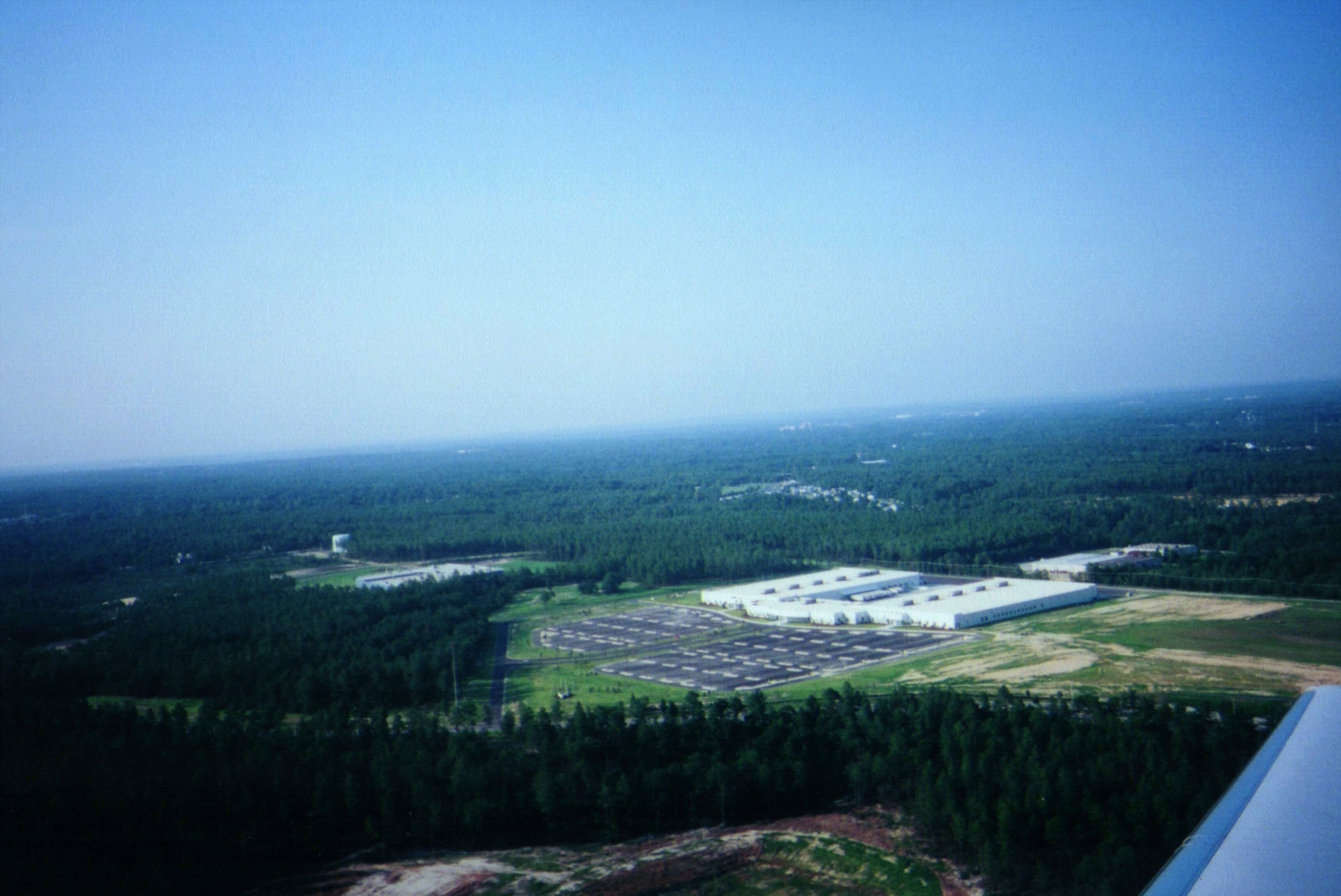
Takeoff from Columbia

07SEP13: planet and moon
29AUG13: check
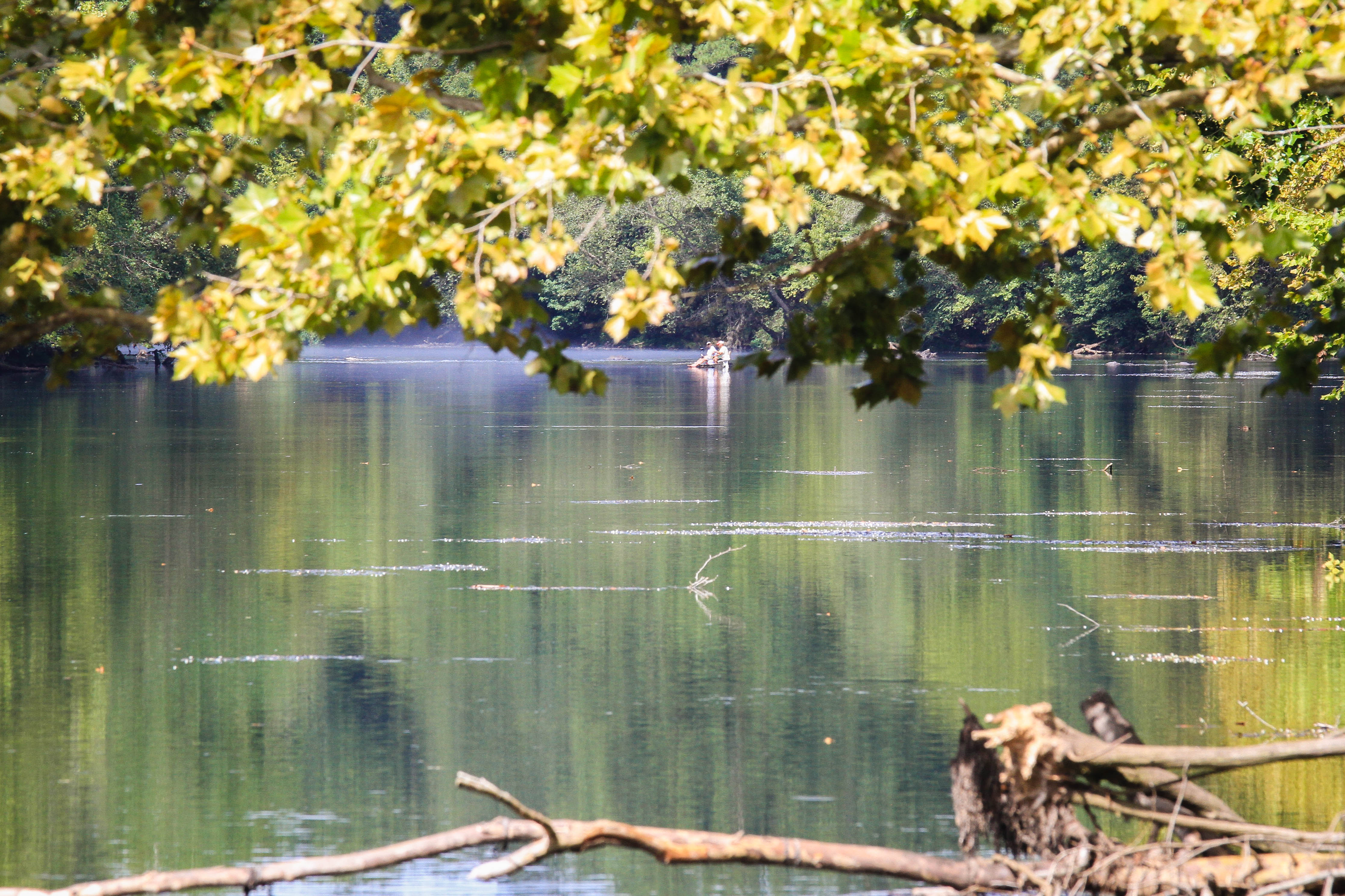
Saluda River - Irmo, S.C.
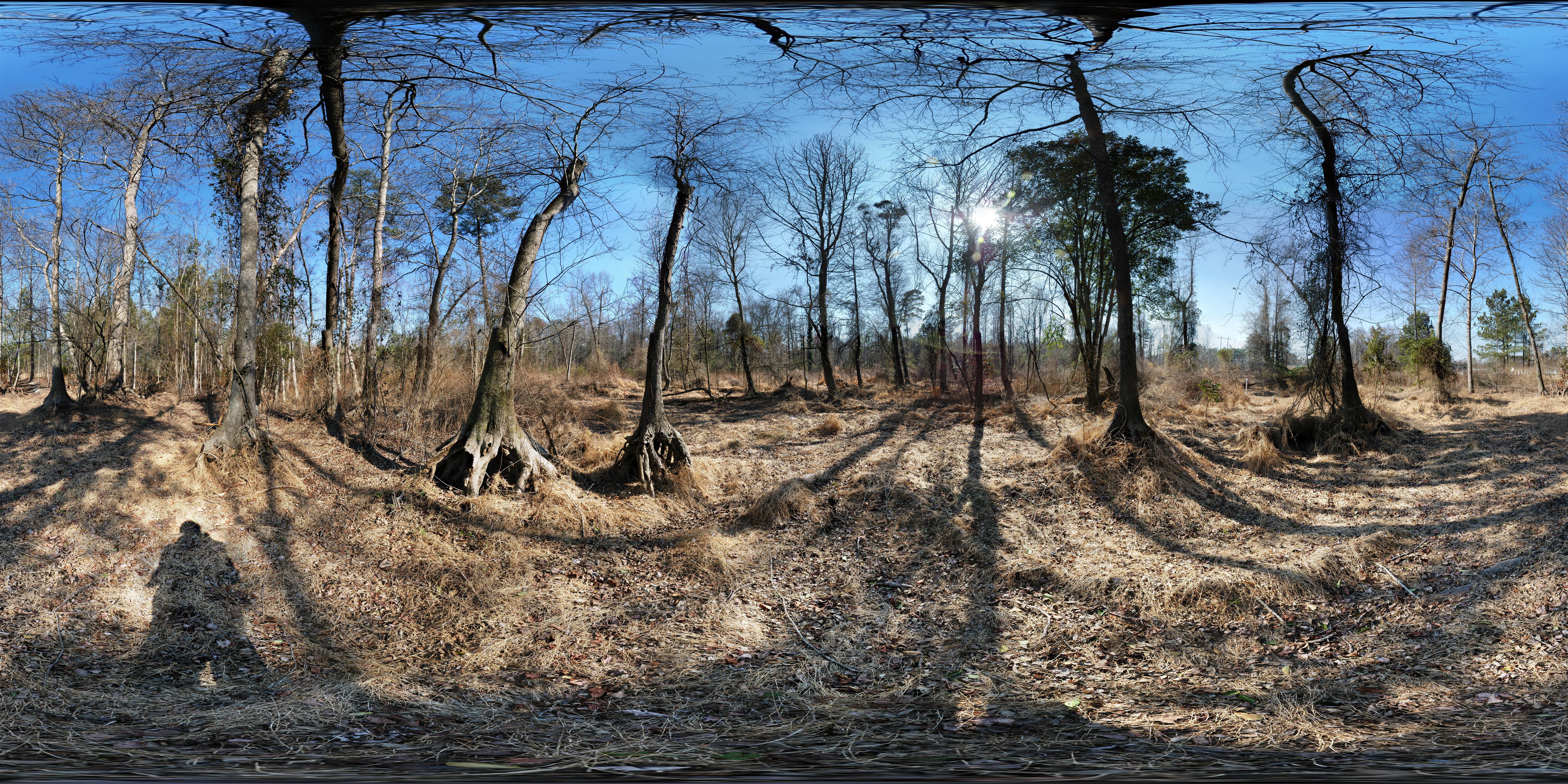
Dr. Taylor's Mitigation Bank (before restoration) 360° x 180°
Cohen Campbell Fish Hatchery
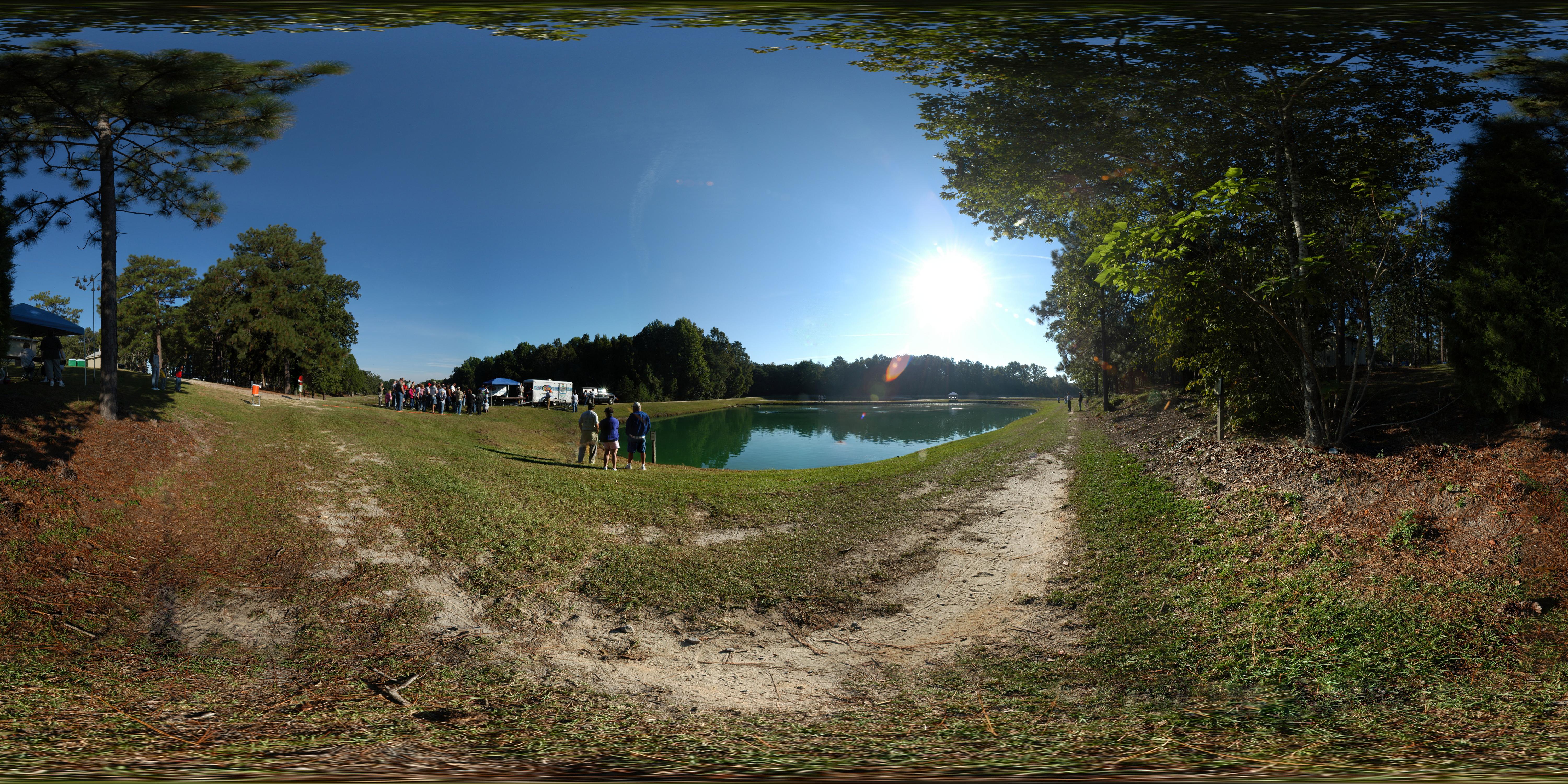
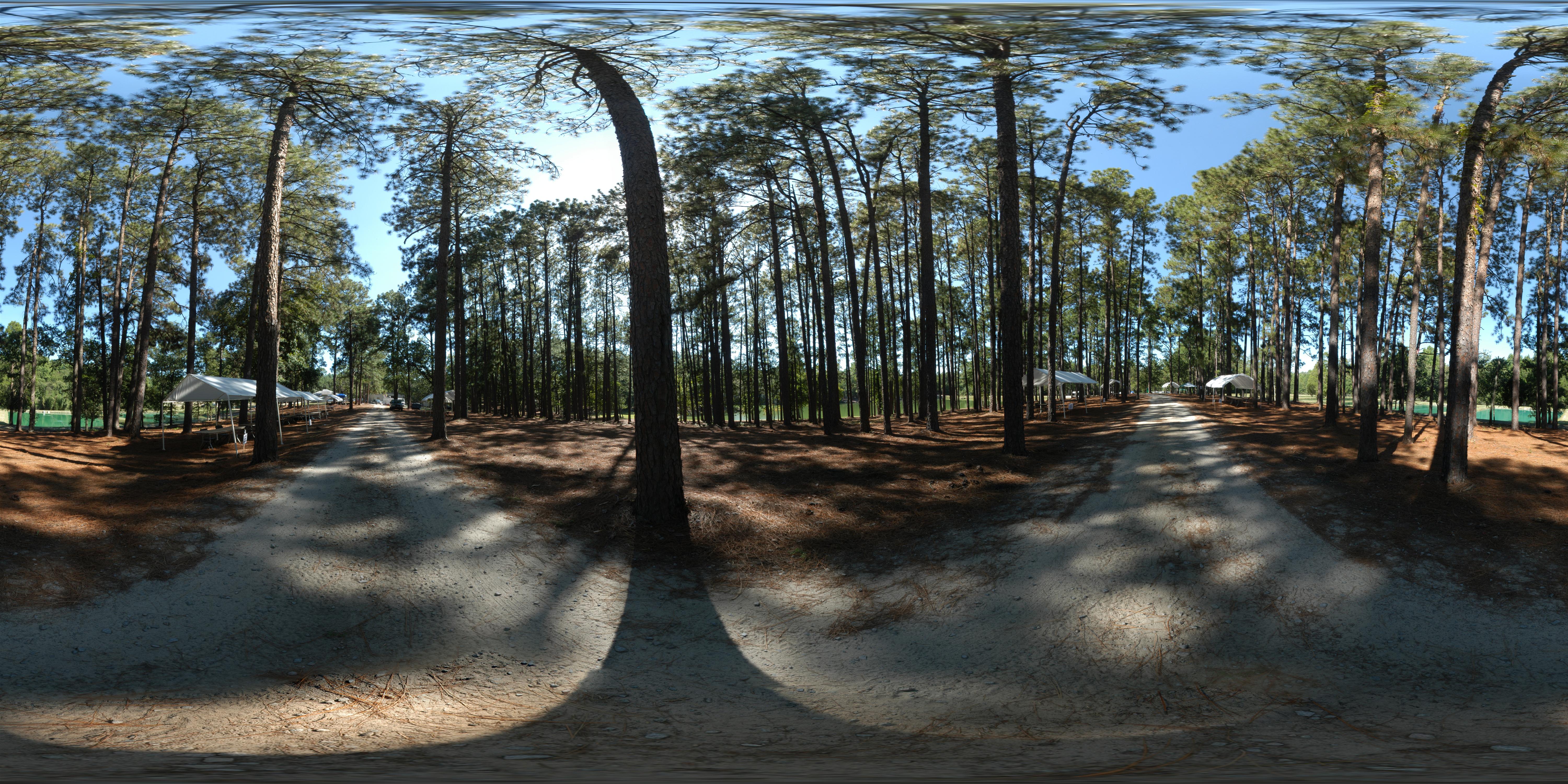
180 x 360 Panorama - Outdoor Family Adventure Day
180 x 360 Panorama - Outdoor Family Adventure Day

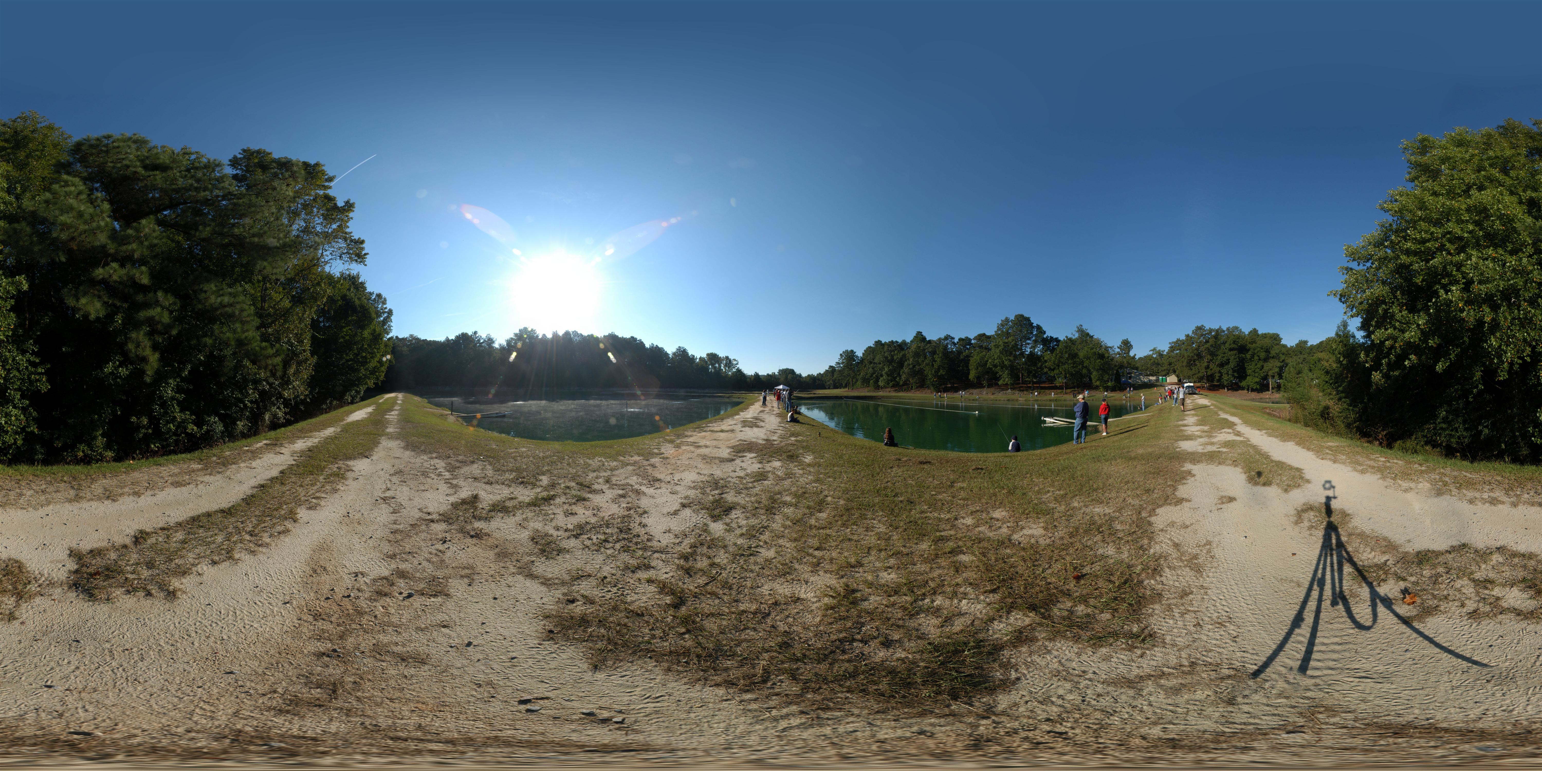
Cohen Campbell Fish Hatchery
Outdoor Family Adventure Day

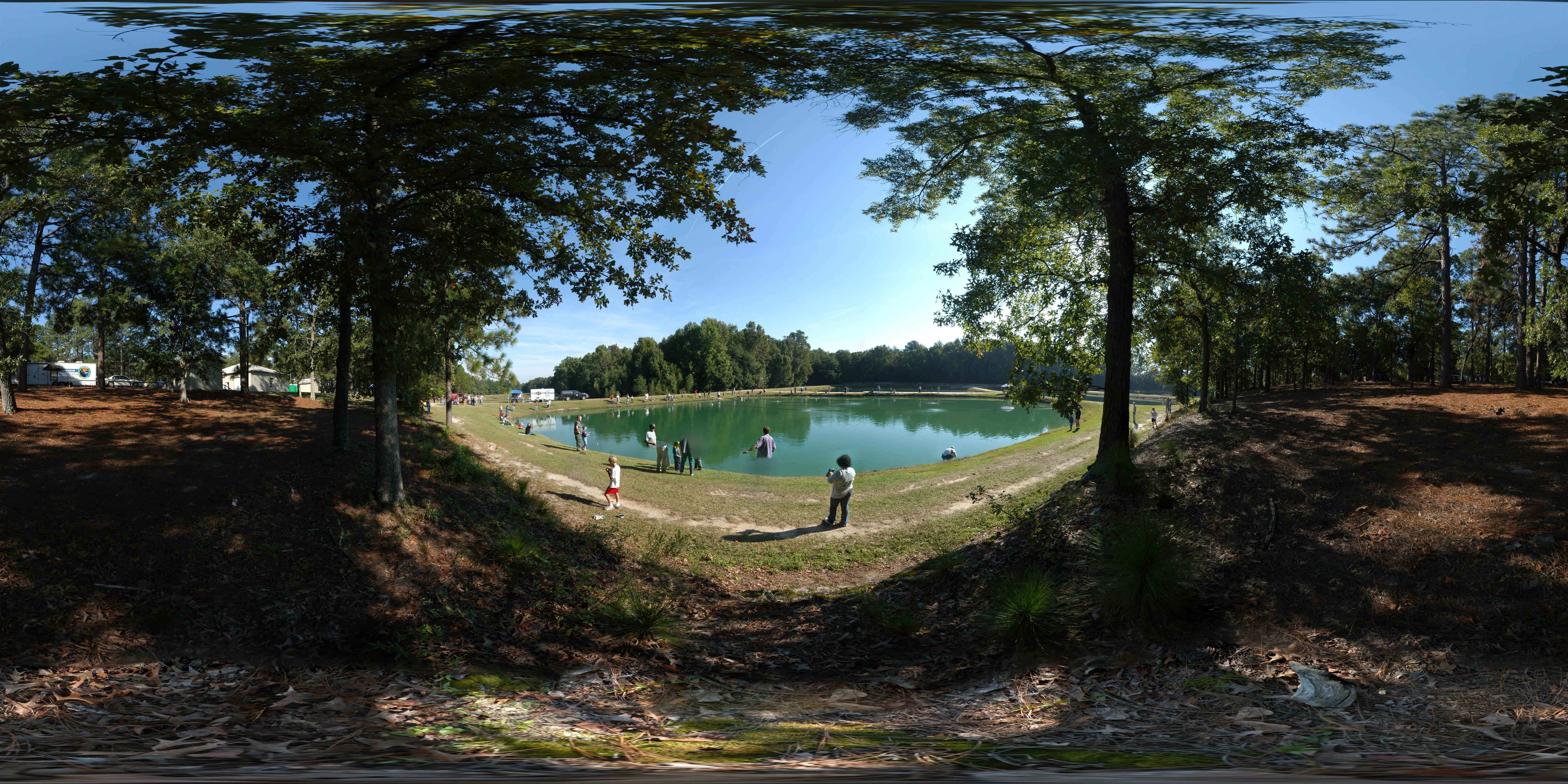
Cohen Campbell Fish House
180 x 360 Panorama - Outdoor Family Adventure Day
Enjoy the View

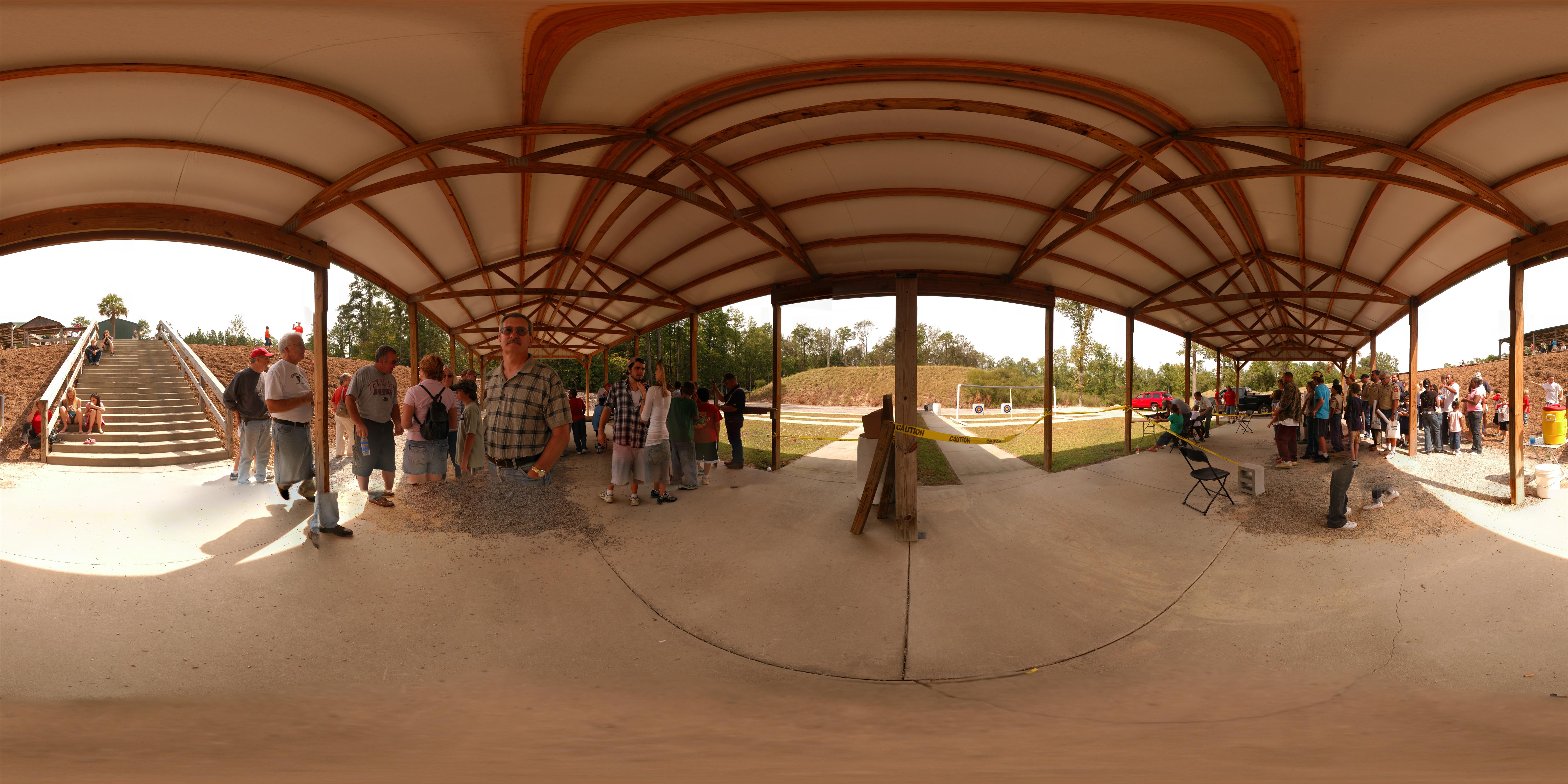
The Dam Road HDR
Topographic Map of Crestwood Arch, Lexington, SC, USA
Find elevation by address:

Places near Crestwood Arch, Lexington, SC, USA:
212 Crestwood Arch
New Market Cir, Lexington, SC, USA
2044 Old Barnwell Rd
Red Bank
115 Stump Rd
108 Mariscat Pl
Lexington County
375 Mac Cir
120 Glassmaster Rd
320 Bridleridge Rd
312 Bridleridge Rd
117 Willow Forks Rd
125 Glynway Ave
2682 S Lake Dr
308 E Main St
Lexington
Edmund
413 Mill Creek Rd
2792 Naples Pass
Crystal Ln, West Columbia, SC, USA
Recent Searches:
- Elevation of Corso Fratelli Cairoli, 35, Macerata MC, Italy
- Elevation of Tallevast Rd, Sarasota, FL, USA
- Elevation of 4th St E, Sonoma, CA, USA
- Elevation of Black Hollow Rd, Pennsdale, PA, USA
- Elevation of Oakland Ave, Williamsport, PA, USA
- Elevation of Pedrógão Grande, Portugal
- Elevation of Klee Dr, Martinsburg, WV, USA
- Elevation of Via Roma, Pieranica CR, Italy
- Elevation of Tavkvetili Mountain, Georgia
- Elevation of Hartfords Bluff Cir, Mt Pleasant, SC, USA