Elevation of Crescent Bar Rd NW, Quincy, WA, USA
Location: United States > Washington > Grant County > Quincy >
Longitude: -119.99850
Latitude: 47.2228694
Elevation: 192m / 630feet
Barometric Pressure: 99KPa
Elevation Map:
Satellite Map:
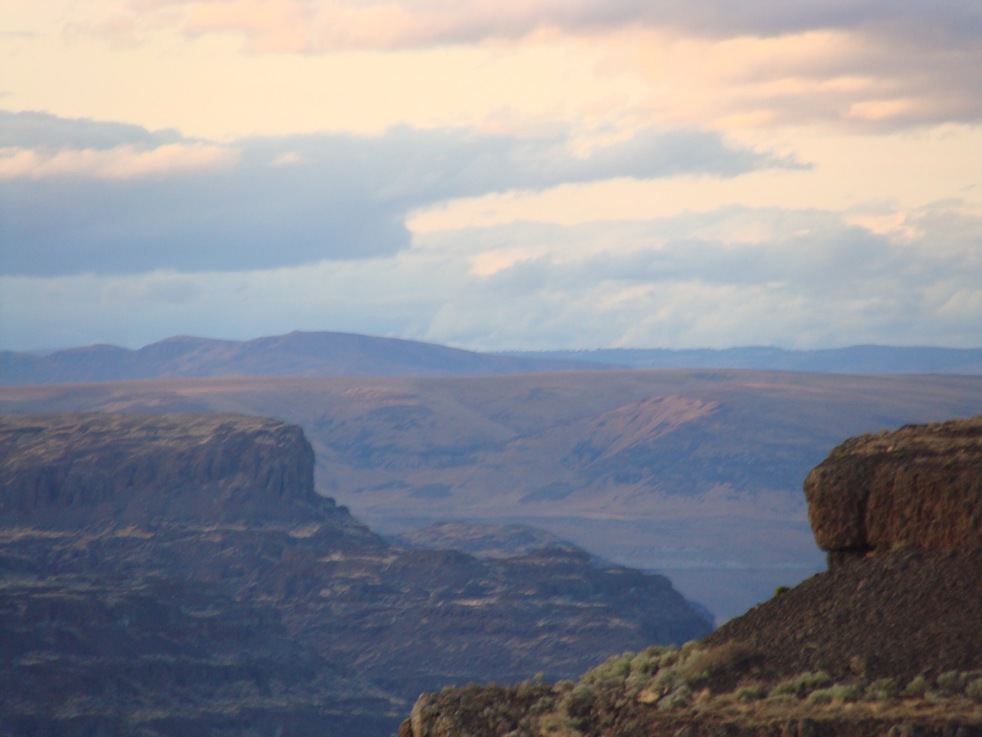
Related Photos:
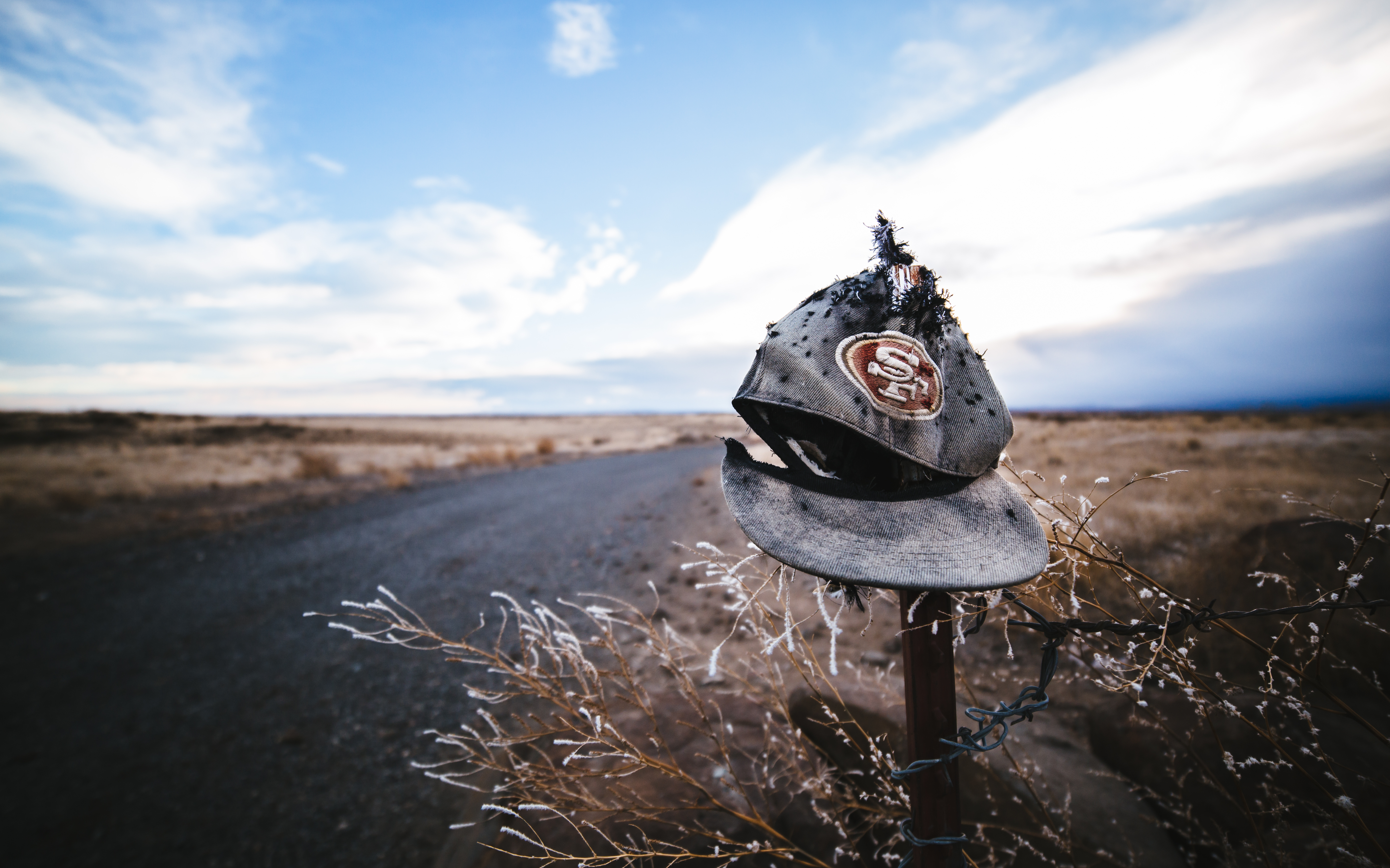
Not Super Bowl Bound
The Storm Warning
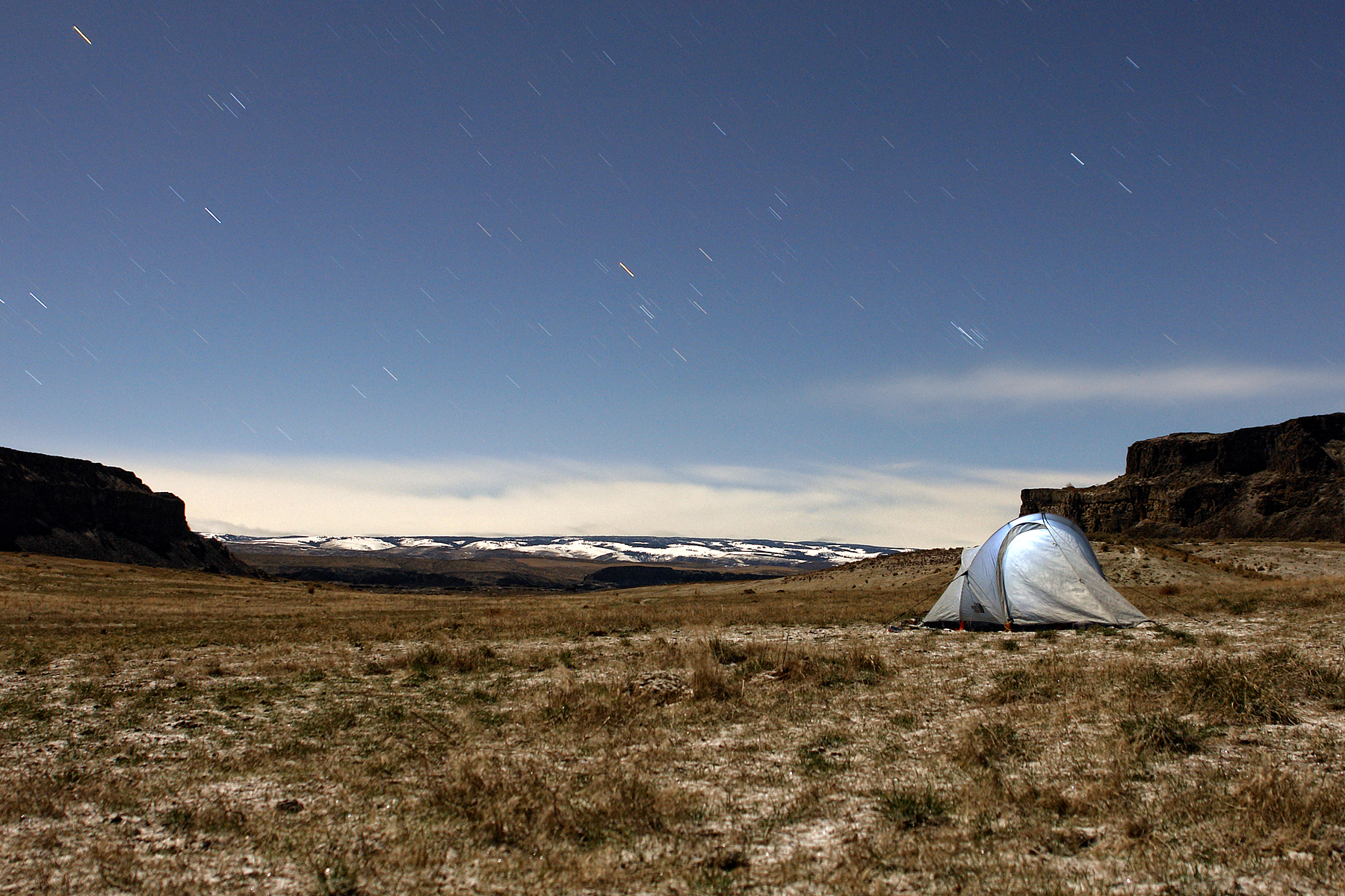
Coulee Camping in Eastern Washington
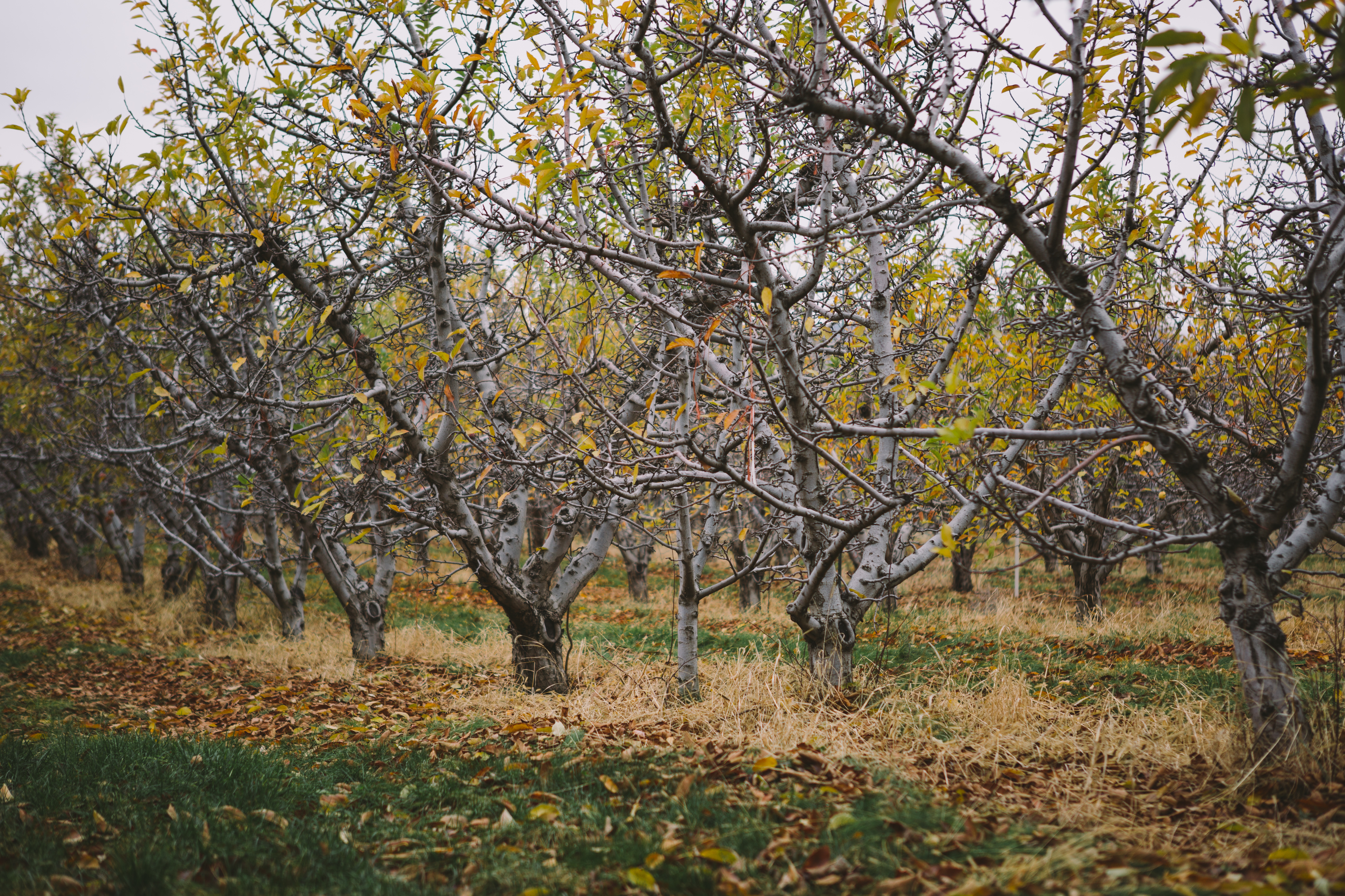
Apple'less Orchard
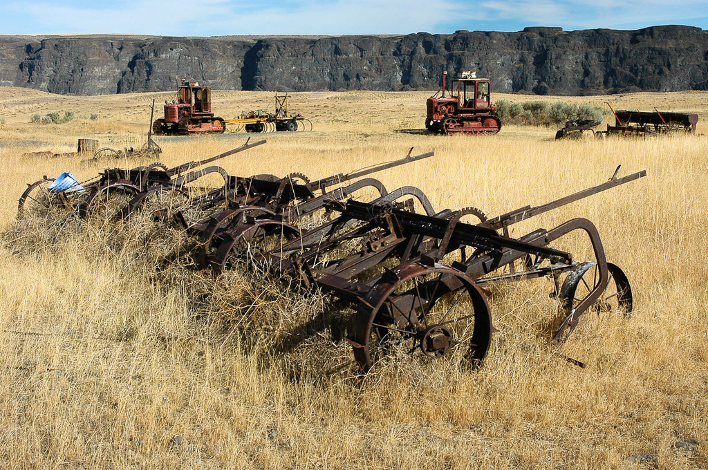
20030923_113...Farming implements of an earlier time

Ancient Lakes Lookout

Above Dusty Lake
White stains... 20040325_026
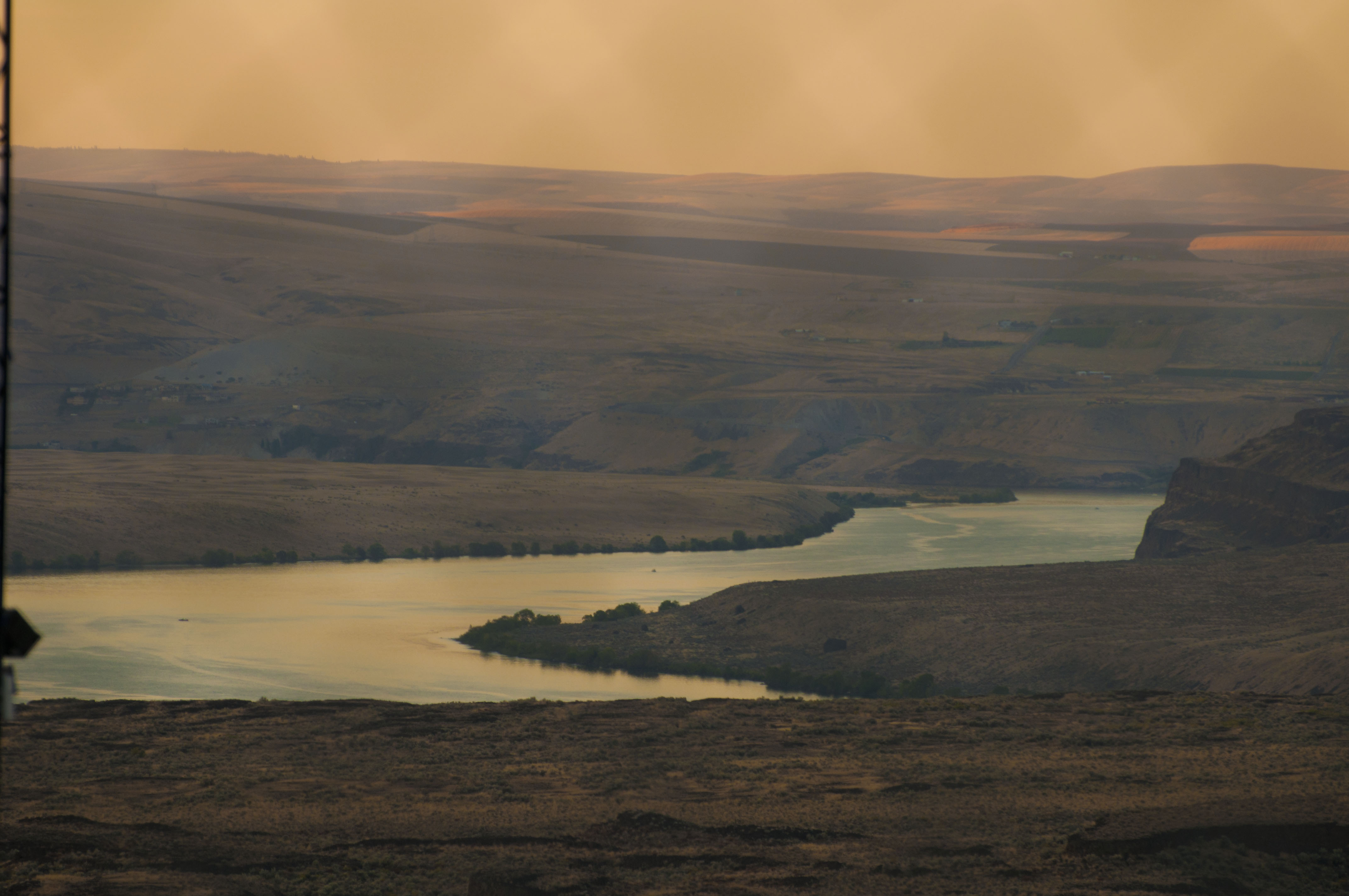
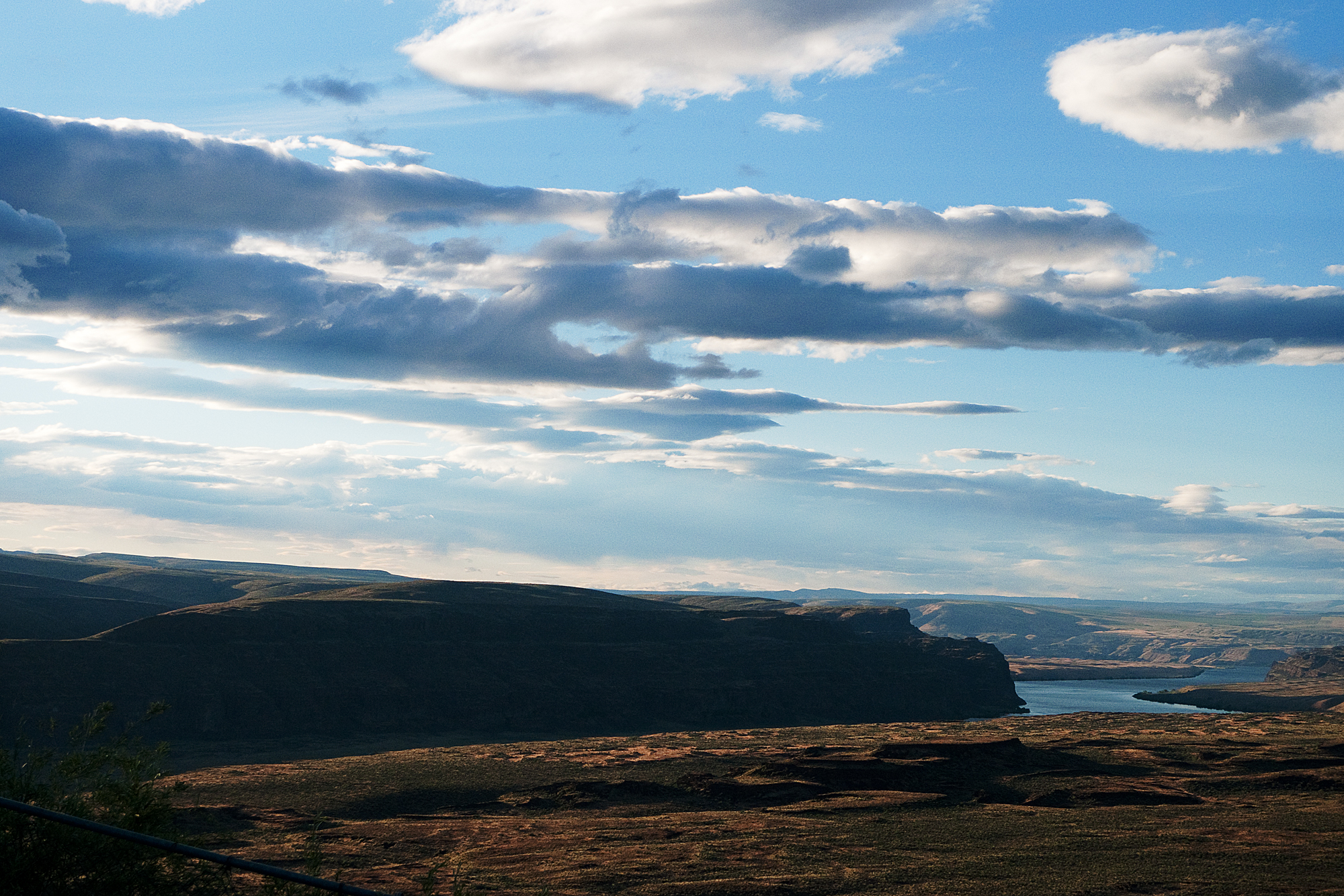
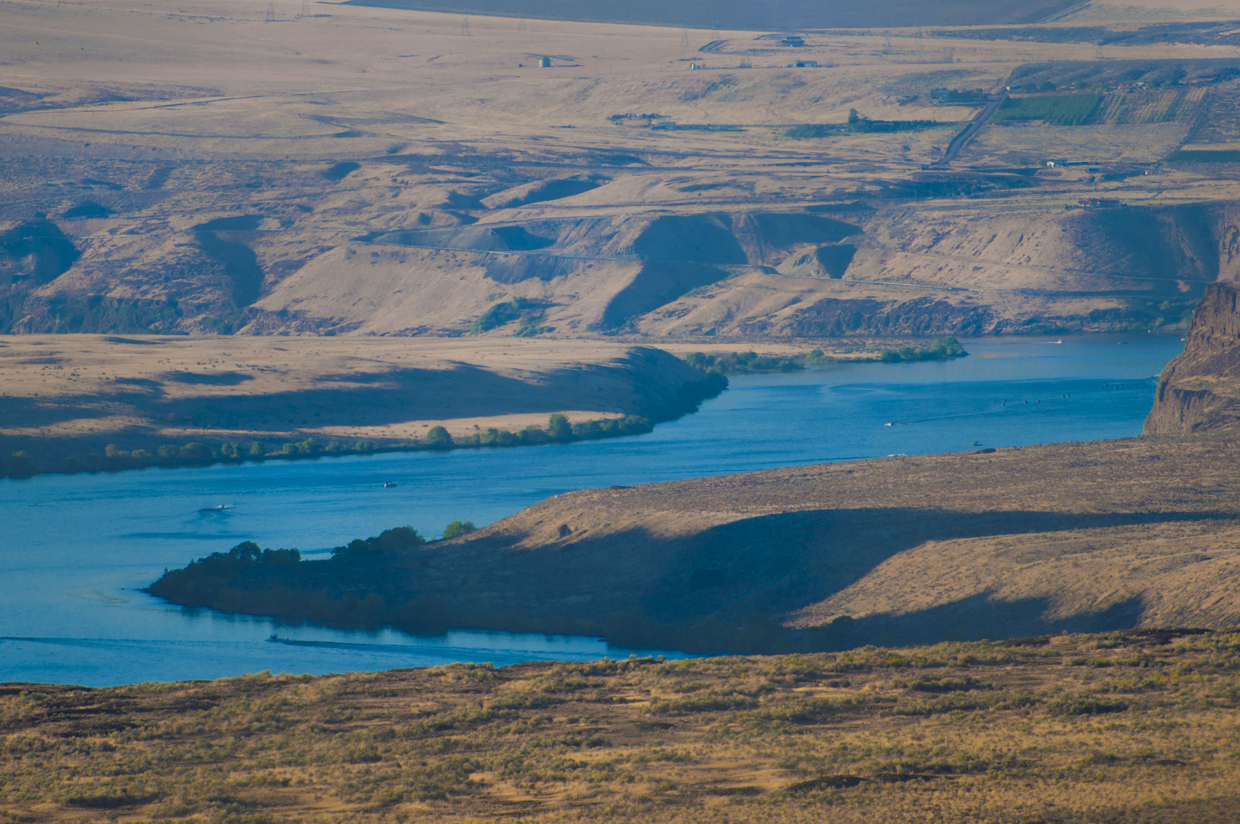
The view over the Columbia

The "scenic view" stop on I-90 is quite scenic

Walking back to the campsite on the last night
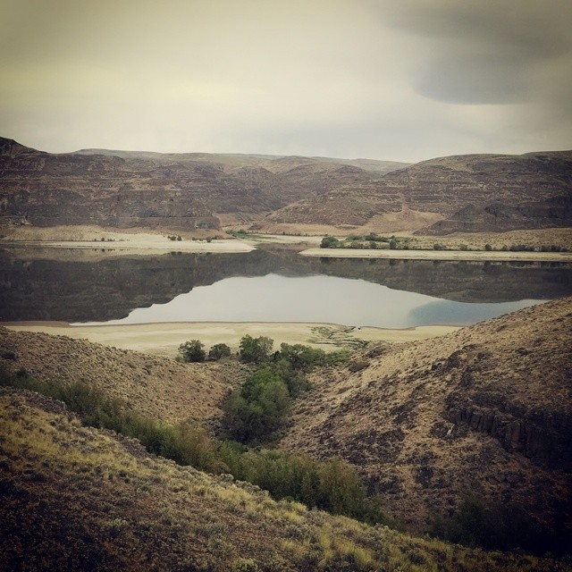
Dusty Lake, Potholes Coulee, Washington
looking out
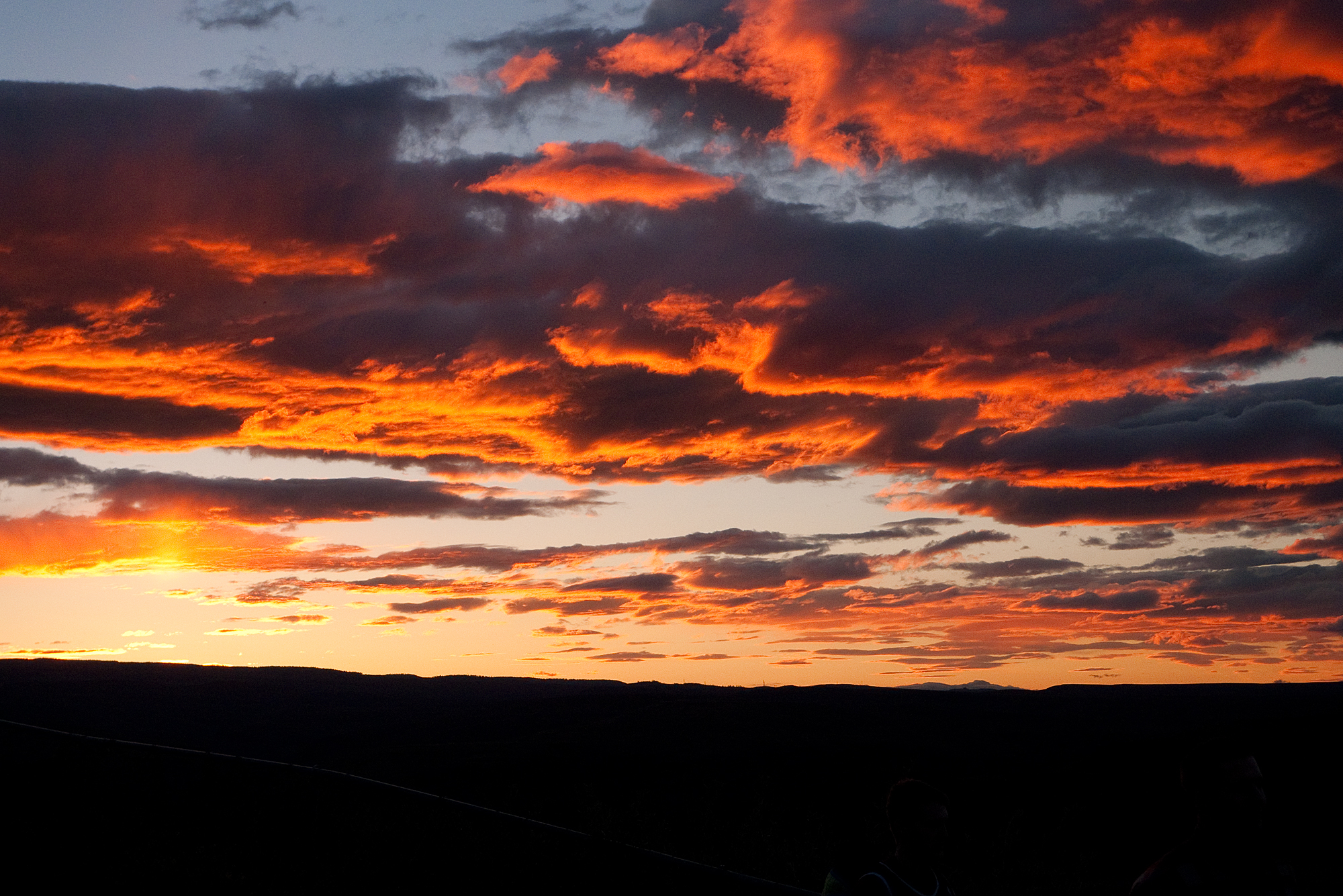
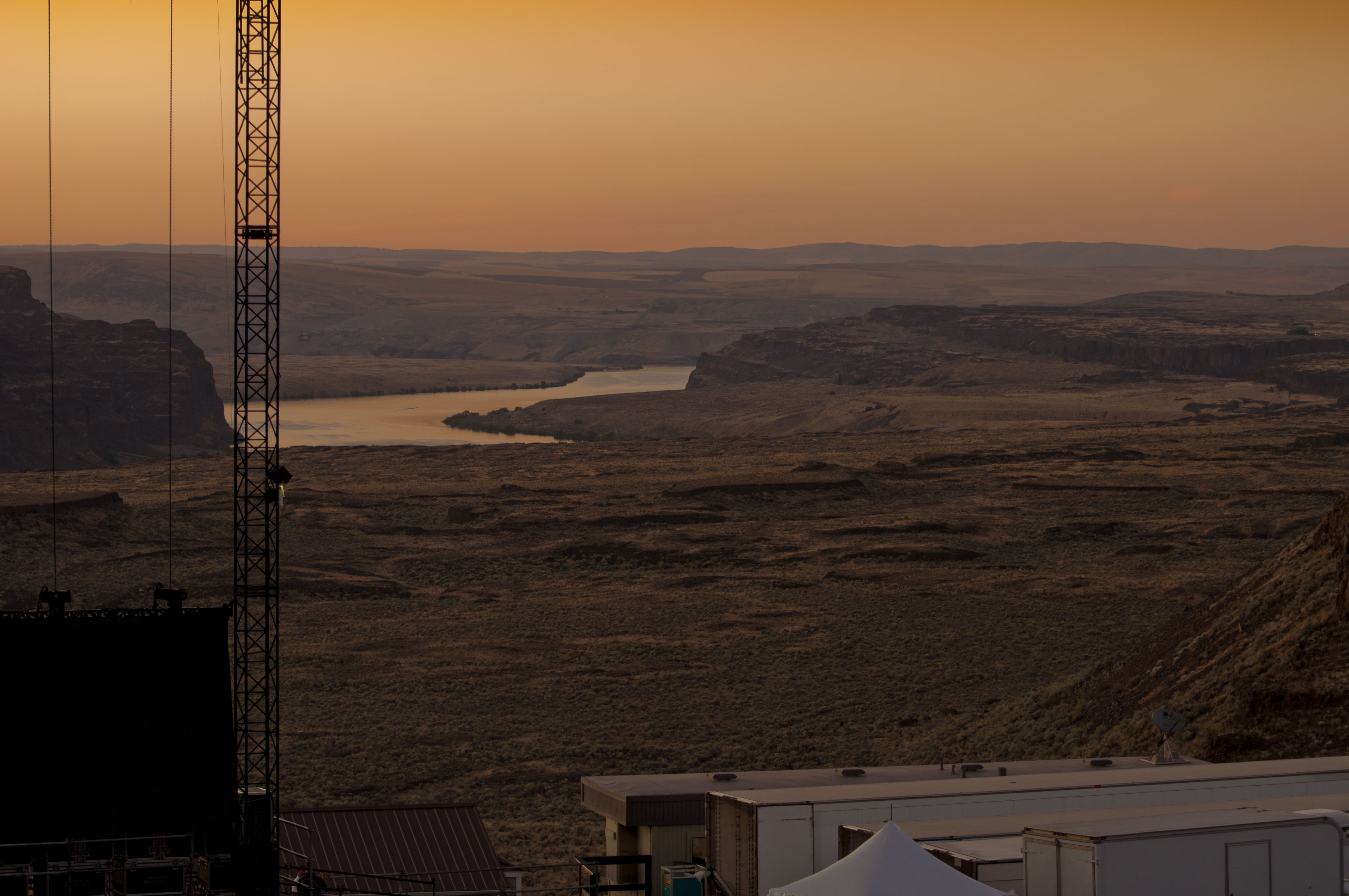
Sundown Sky @ Sasquatch
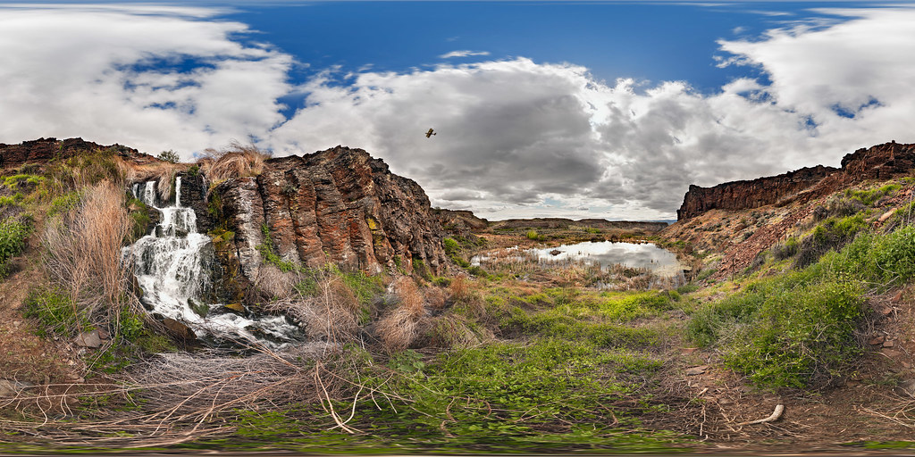
Potholes Coulee with Waterfall, Biplane, Beaver Lodge and Rain Approaching

The "scenic view" stop on I-90 is quite scenic
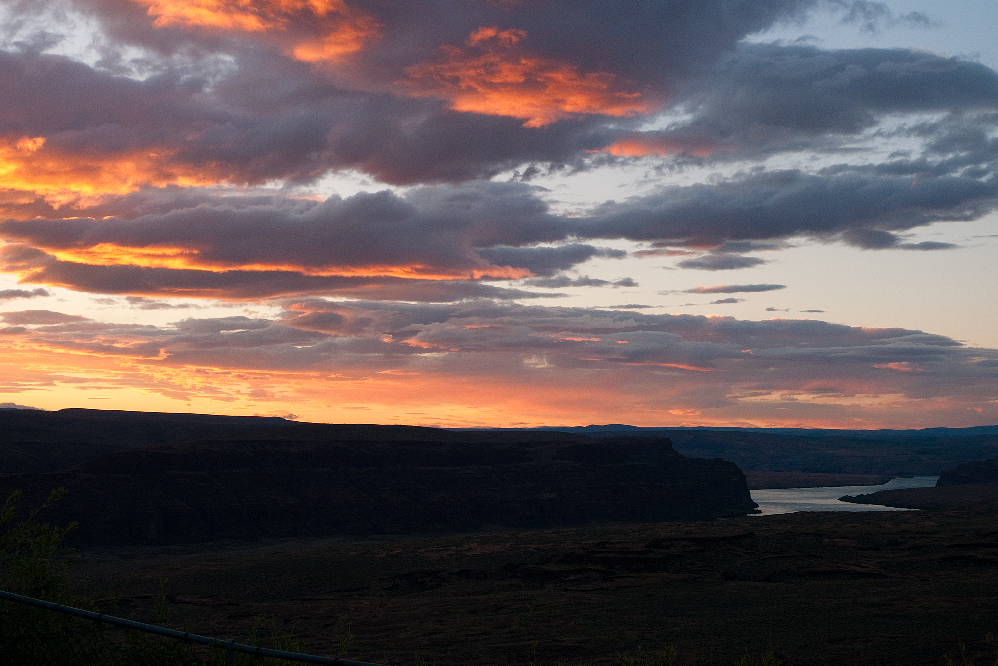
The Gorge @ Sundown
The Gorge
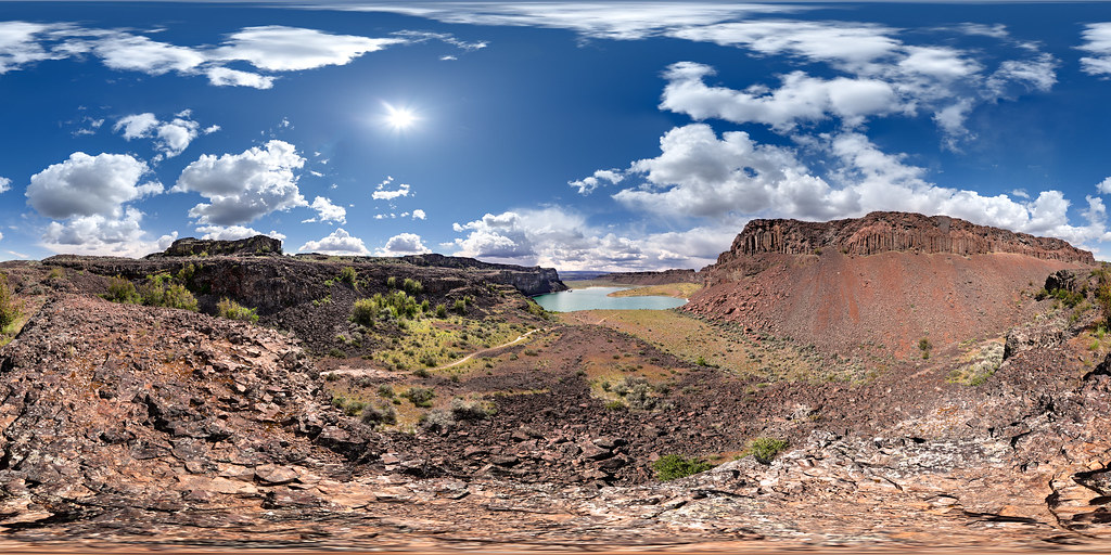
Dusty Lake, Potholes Coulee, Washington
The view from the hill
the view
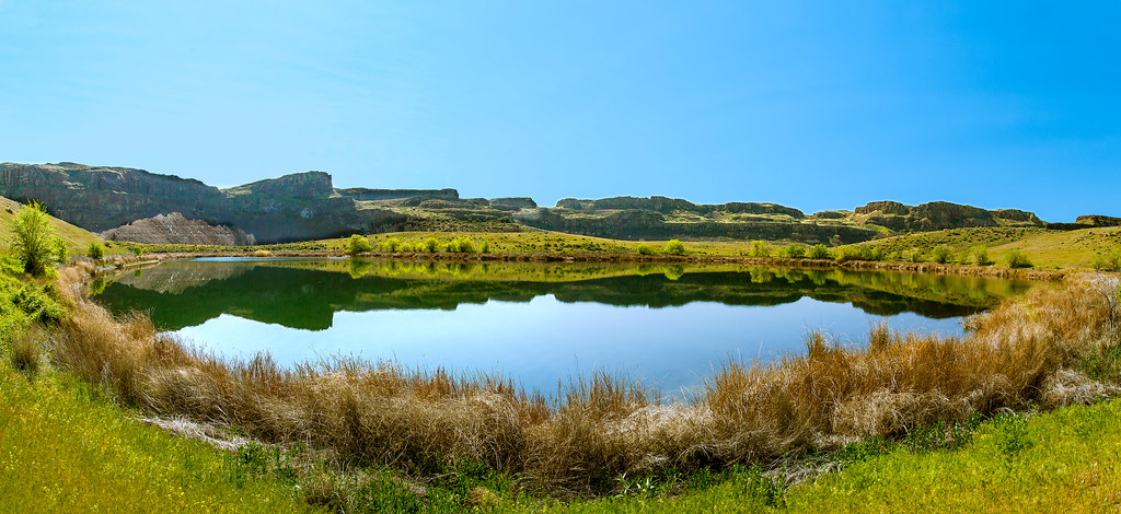
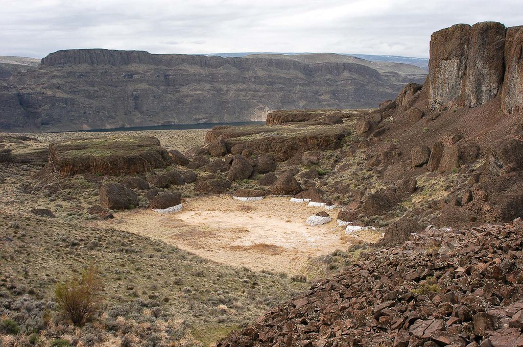
Ancient Lake
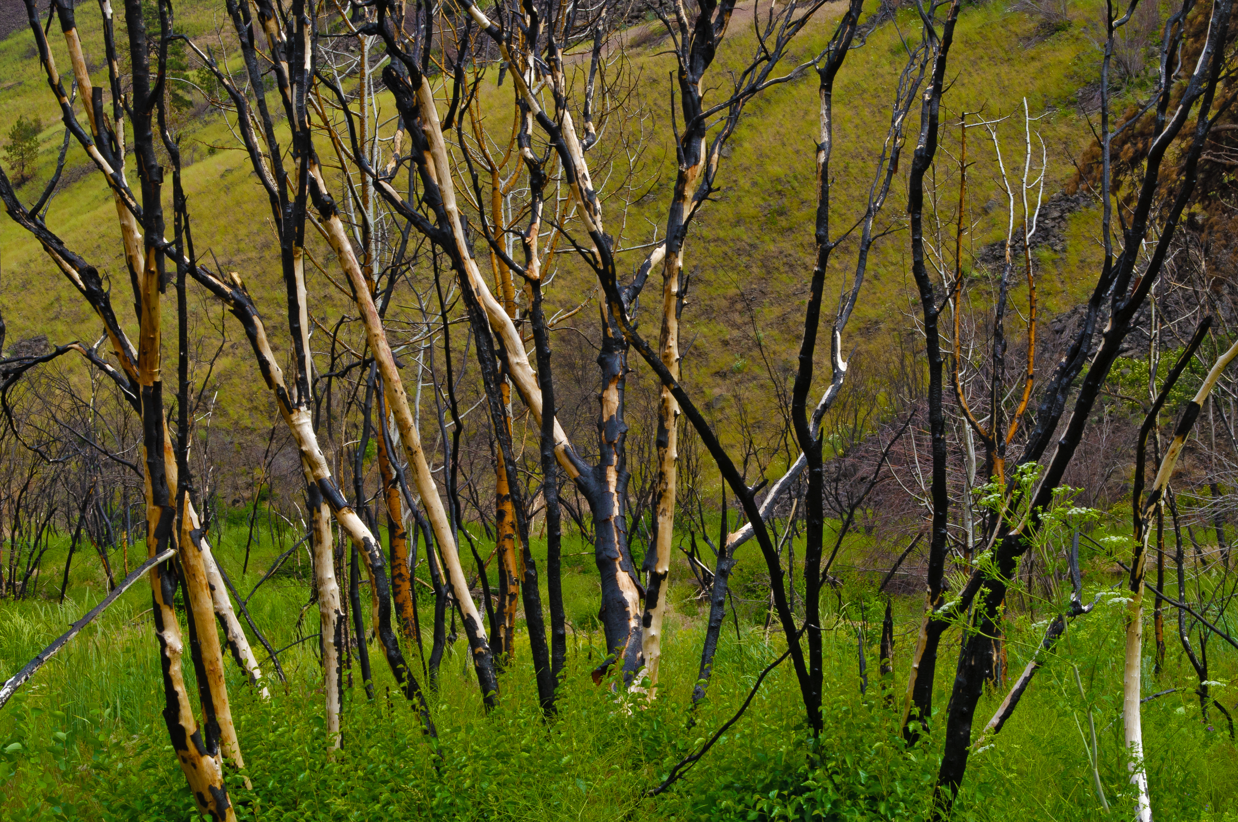
After The Fire 7

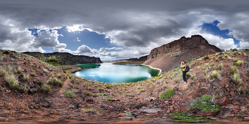
Ancient Lakes

Ancient Lakes
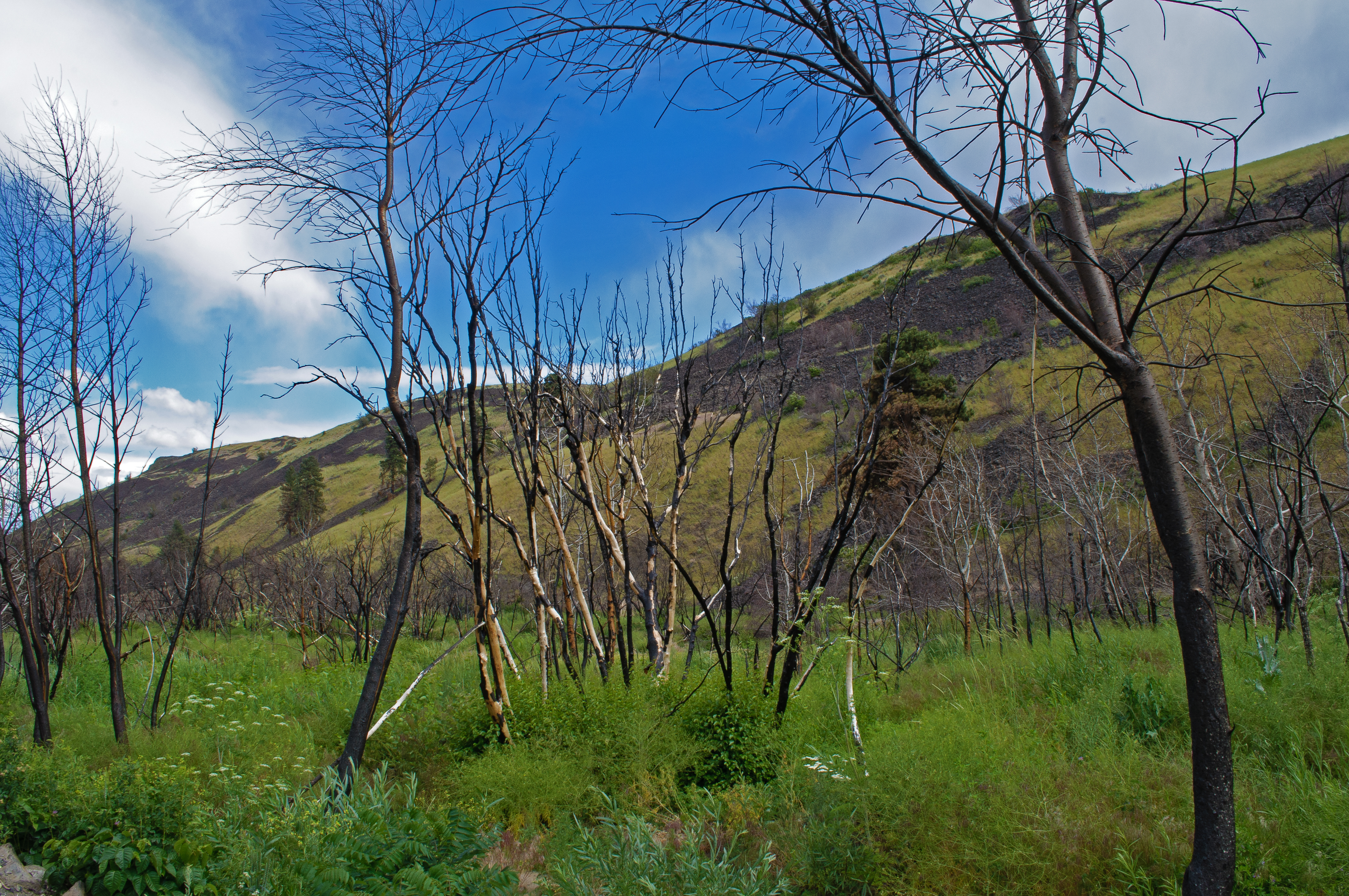
After The Fire 8

Orange Puff

Ancient Lakes Trail
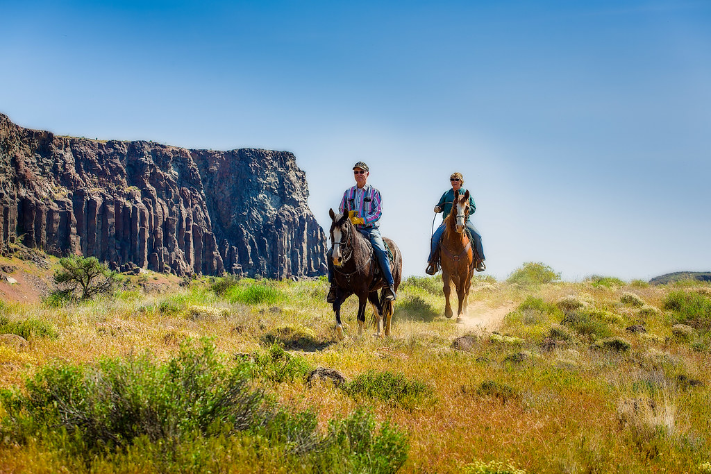
Riding the Ancient Lakes Trail
Waterfall Photographer
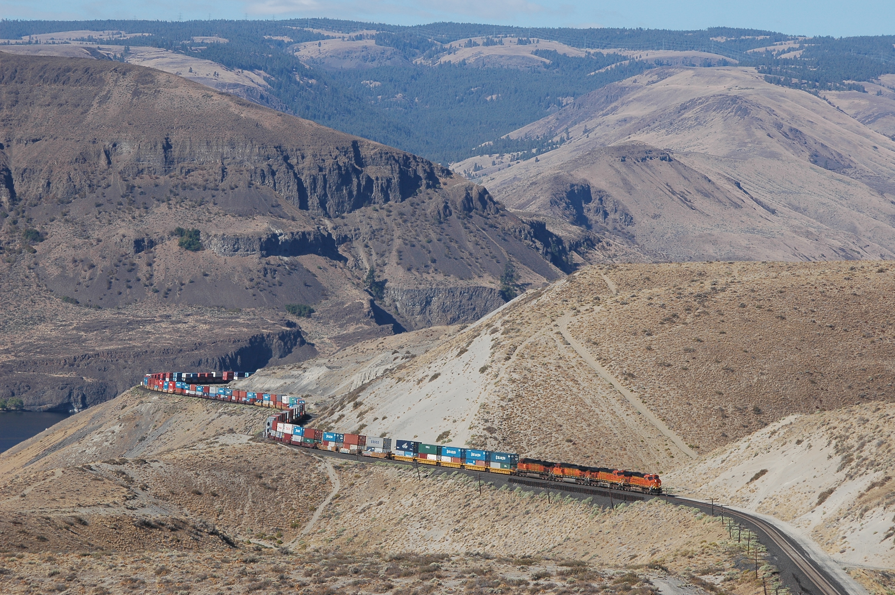
BNSF 7631 east
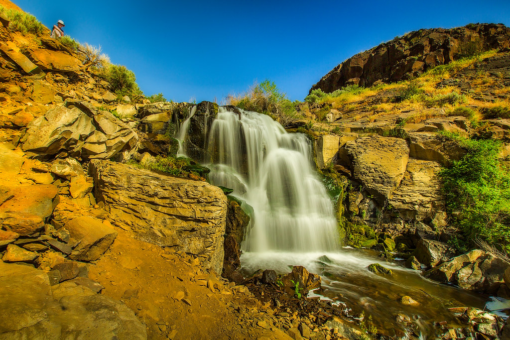
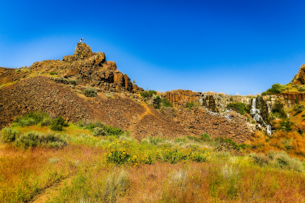
Ancient Lakes Falls
Wizard Canyon
Down by the River2

Ancient Lakes Waterfall
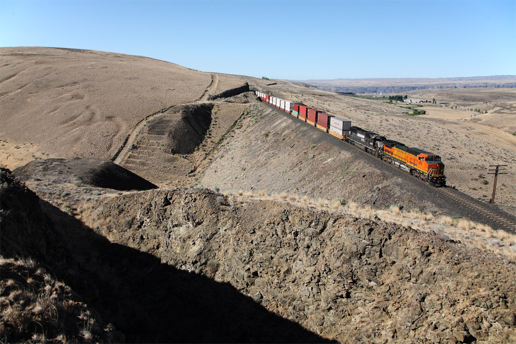
Down the tangent

Colockum Tarps Firefighting 4
Quiet morning on the Columbia River. #SuckafreeSasquatch
Topographic Map of Crescent Bar Rd NW, Quincy, WA, USA
Find elevation by address:

Places near Crescent Bar Rd NW, Quincy, WA, USA:
23572 Sunserra Loop #4
23572 Sunserra Loop #2
9054 Crescent Bar Rd Nw
Rd 9.7 Nw & Rd W 8 Nw
Rd 9.8 Nw & Rd W 8 Nw
9054 Crescent Bar Rd Nw Unit 13
Trinidad
Crescent Bar Rd NW, Quincy, WA, USA
24 F St Sw
8524 Wa-281
Wa-281 & Rd 9 Nw
Quincy
1184 River Dr
Wanapum Lake
Palisades Rd, Palisades, WA, USA
2200 M St Ne
George
Palisades
Old Vantage Highway
5556 Big Springs Ranch Rd
Recent Searches:
- Elevation of Corso Fratelli Cairoli, 35, Macerata MC, Italy
- Elevation of Tallevast Rd, Sarasota, FL, USA
- Elevation of 4th St E, Sonoma, CA, USA
- Elevation of Black Hollow Rd, Pennsdale, PA, USA
- Elevation of Oakland Ave, Williamsport, PA, USA
- Elevation of Pedrógão Grande, Portugal
- Elevation of Klee Dr, Martinsburg, WV, USA
- Elevation of Via Roma, Pieranica CR, Italy
- Elevation of Tavkvetili Mountain, Georgia
- Elevation of Hartfords Bluff Cir, Mt Pleasant, SC, USA