Elevation of Creekside Way C, Burnsville, NC, USA
Location: United States > North Carolina > Yancey County > Burnsville > Burnsville >
Longitude: -82.351391
Latitude: 35.883812
Elevation: 1016m / 3333feet
Barometric Pressure: 90KPa
Elevation Map:
Satellite Map:
Related Photos:
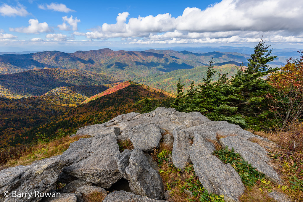
View from Mt. Mitchell

Top of North Carolina

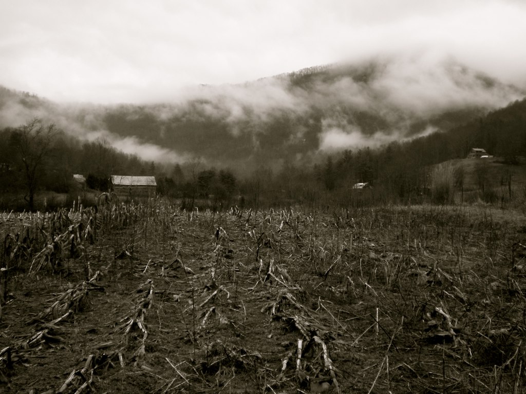
Clouds at 6684ft

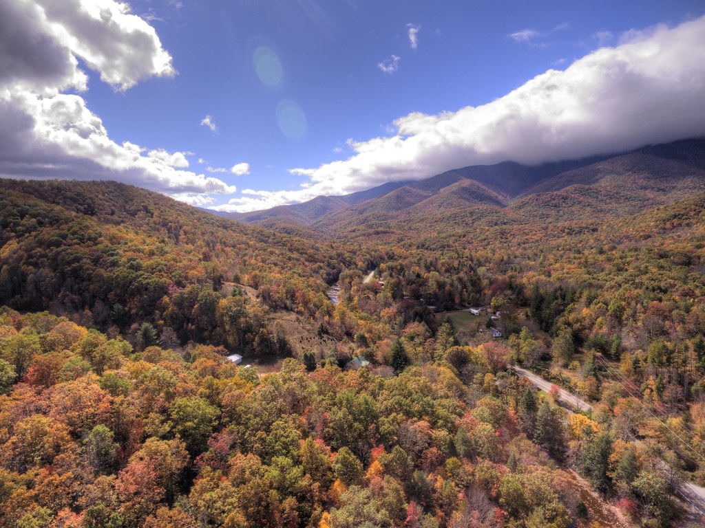
Blue Ridge Parkway with Autumn Colors

East of Dillingham

Deep Gap Trail
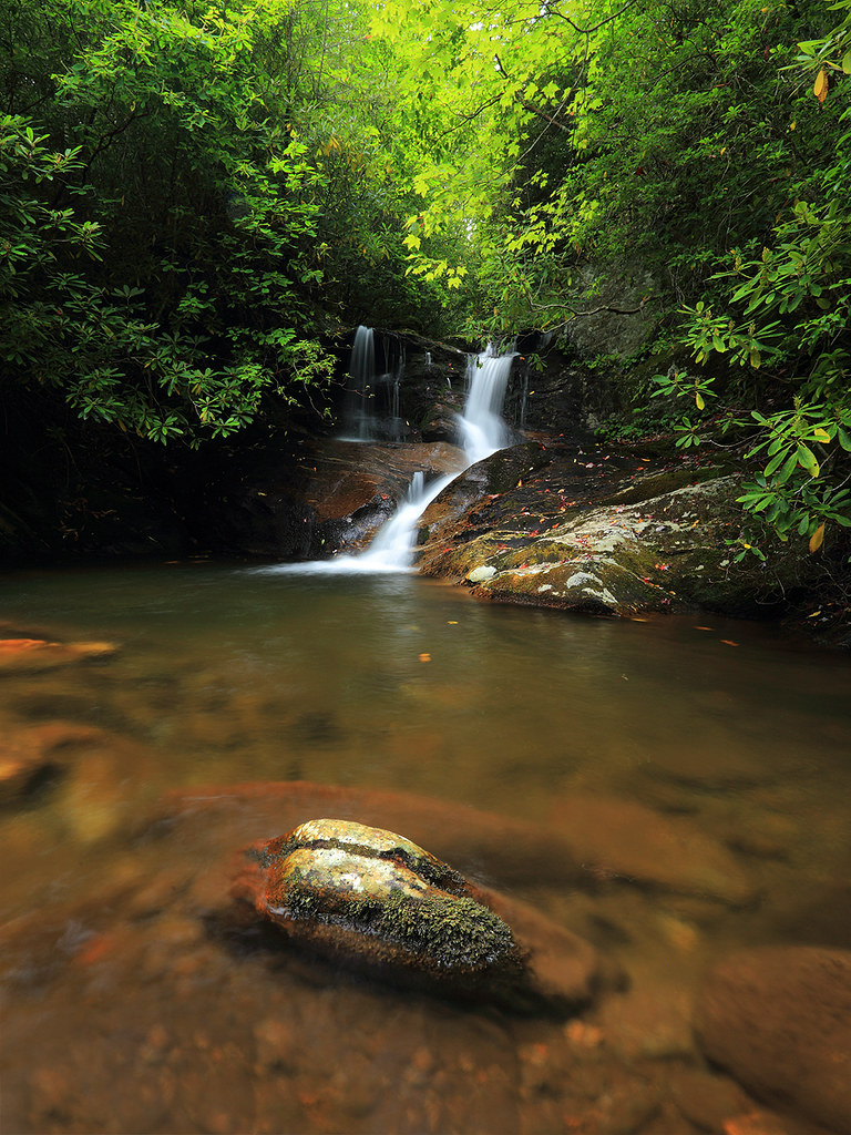
White Oak Creek

The View From The Top: Mountains

Western North Carolina Mountain View

Falls on Whiteoak Creek

W4C/CM-001 - Mount Mitchell View

Black Mountain Crest Trail

Solo Creek

Mount Mitchell

THE MUMMY 3

Summit View from W4C/CM-009 - Big Butt

View From Mount Mitchell

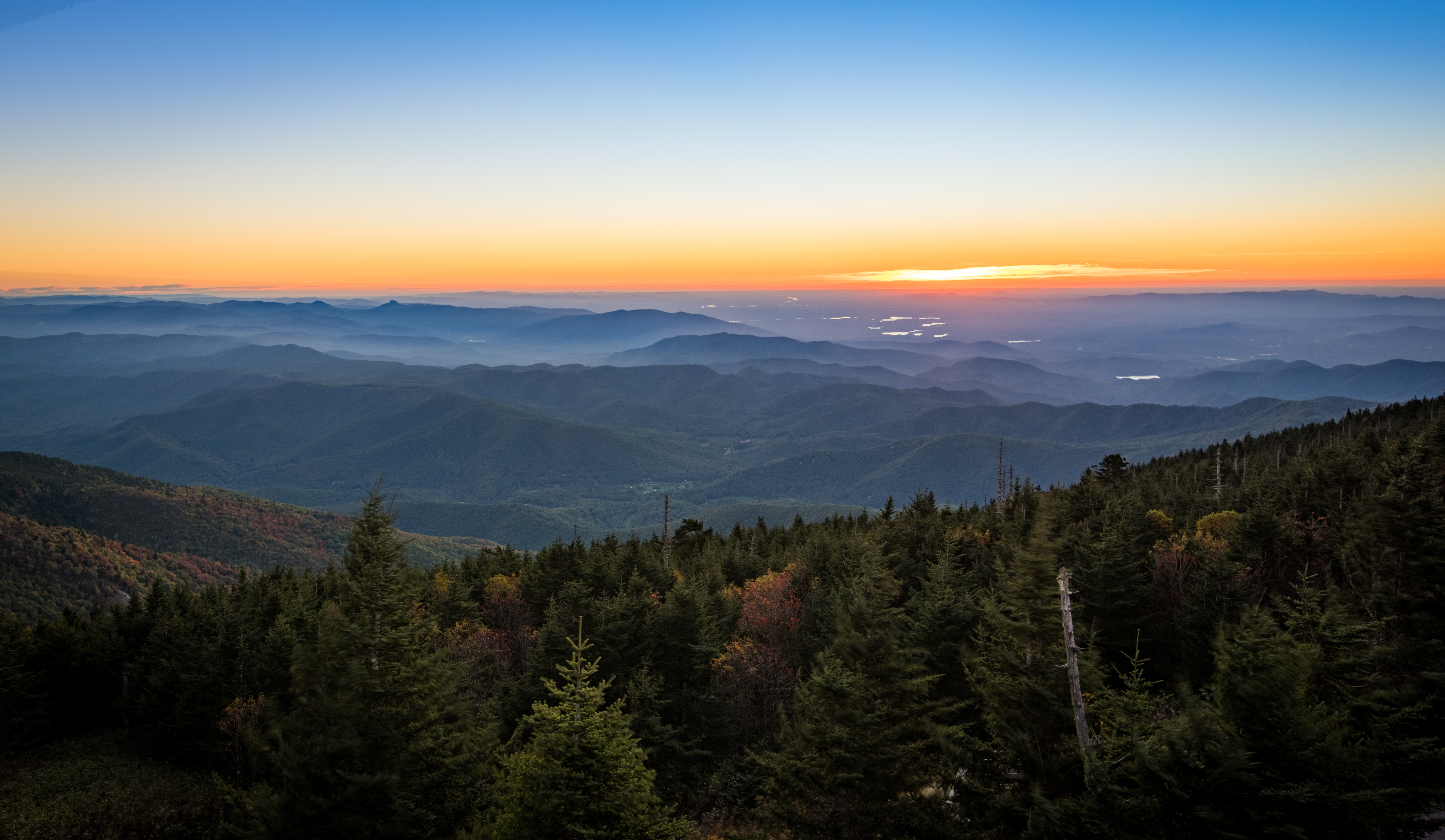
Blue Ridge Sunrise

Highest Peak East of Mississippi River

Mt. Mitchell View

Mt. Mitchell State Park Clouds

The Cure

CSX Q692 @ Green Mountain

Grey Winter Creek

Cold Dunk

Flow like water.jpg

Rock, Trees, and Low Clouds
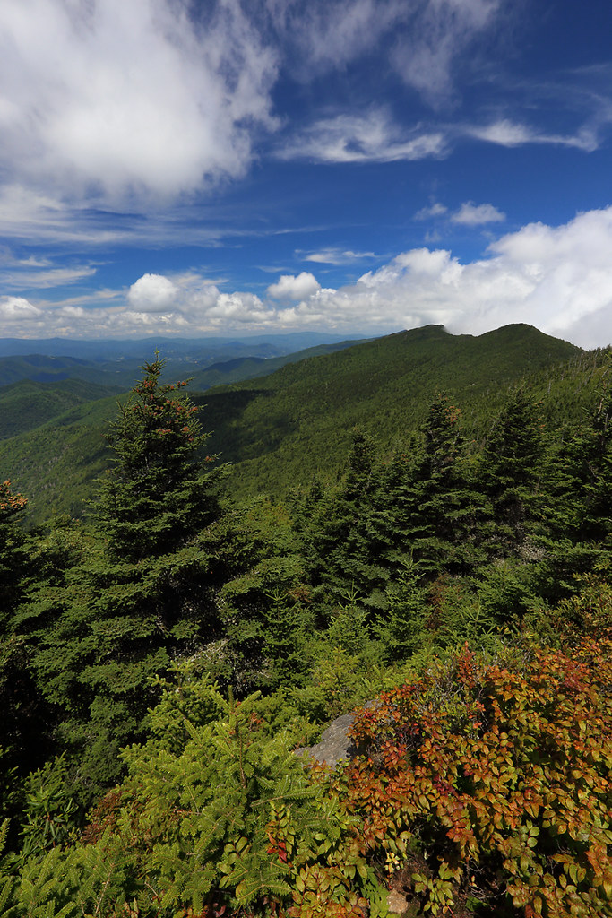
The Black Mountains
Black Mountain Range NC
Fog, Grey, Mist--

Mountains Calling

Mount Mitchell [03.19.19]

Mt. Mitchell Fog
blue ridges

Mt Mitchell Sunset

Magic Autumn Morning
Topographic Map of Creekside Way C, Burnsville, NC, USA
Find elevation by address:

Places near Creekside Way C, Burnsville, NC, USA:
250 Creekside Way C302
300 Creekside Way
81 Creekside Way
Mountain Air Drive
Mountain Air Drive
2120 Mountain Air Dr
181 Grinnin Sun Rd
47 Falls Xing
410 Spring House Dr
170 Spring House Dr
71 Smoke House Way
40 Short Snort Ct
10 Stoney Falls Loop
80 Stoney Falls Loop #3
130 Stoney Falls Loop
Burnsville, NC, USA
Yancey County
51 Brandy Run Rd
105 Brandy Run Rd
309 Winterberry Rd
Recent Searches:
- Elevation of Corso Fratelli Cairoli, 35, Macerata MC, Italy
- Elevation of Tallevast Rd, Sarasota, FL, USA
- Elevation of 4th St E, Sonoma, CA, USA
- Elevation of Black Hollow Rd, Pennsdale, PA, USA
- Elevation of Oakland Ave, Williamsport, PA, USA
- Elevation of Pedrógão Grande, Portugal
- Elevation of Klee Dr, Martinsburg, WV, USA
- Elevation of Via Roma, Pieranica CR, Italy
- Elevation of Tavkvetili Mountain, Georgia
- Elevation of Hartfords Bluff Cir, Mt Pleasant, SC, USA