Elevation of Creekbank Rd, Elizabethton, TN, USA
Location: United States > Tennessee > Carter County > Elizabethton >
Longitude: -82.075960
Latitude: 36.4149249
Elevation: 569m / 1867feet
Barometric Pressure: 95KPa
Elevation Map:
Satellite Map:
Related Photos:
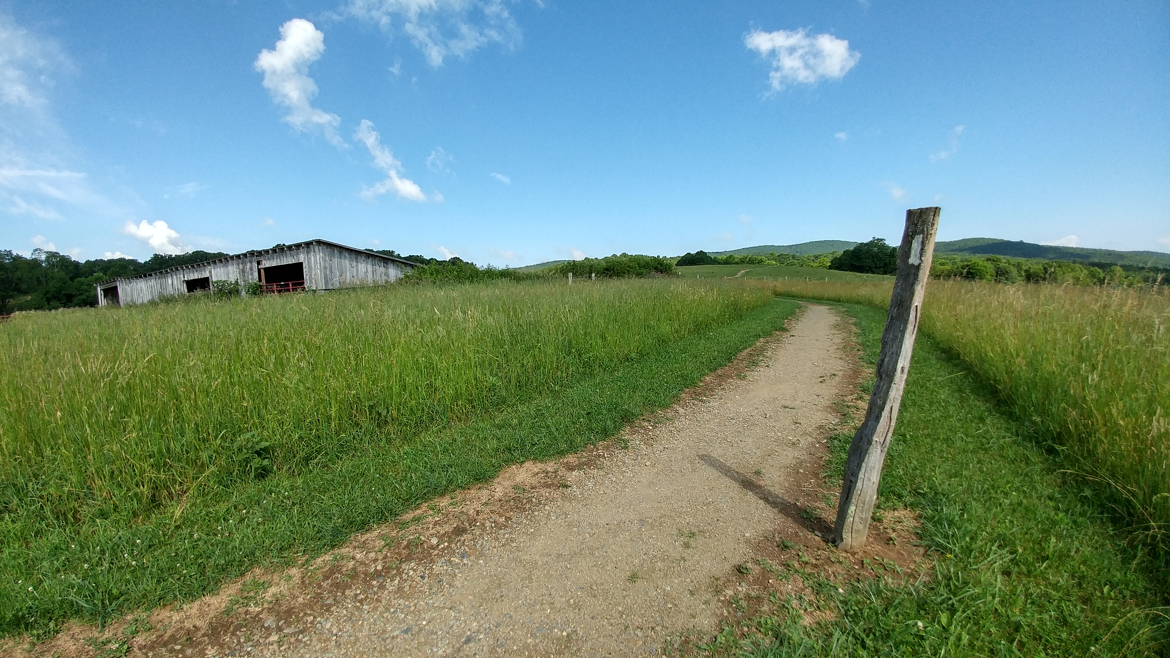
Osborne Tract, Appalachian NST, Shady Valley, TN4
View from Flint Rock
The view
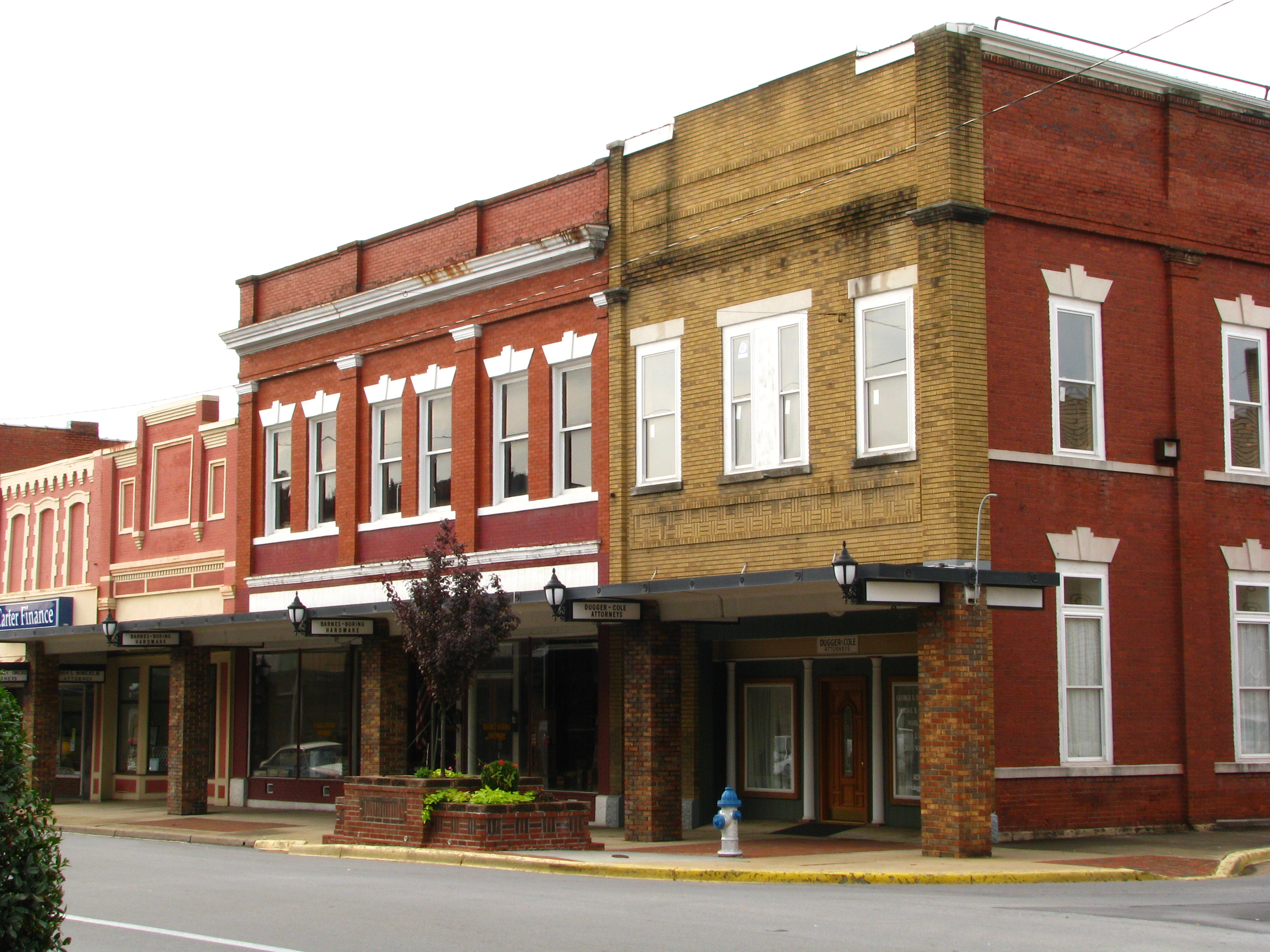
Storefronts of Historic Elizabethton - Barnes Boring Hardware
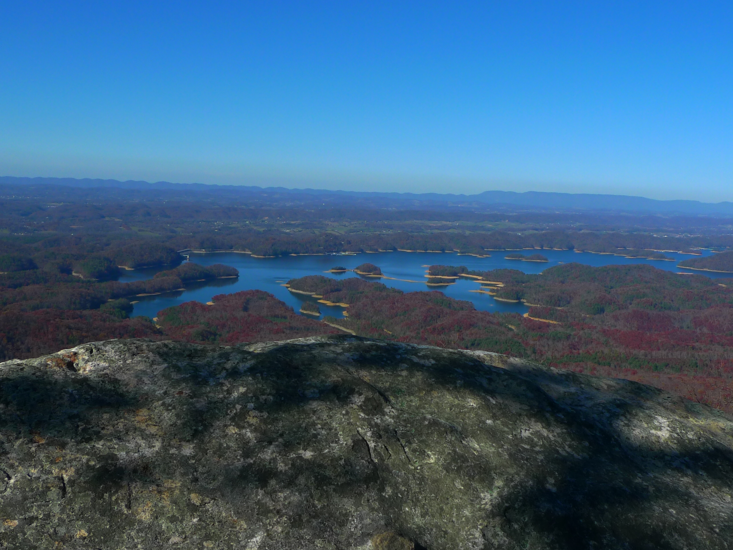
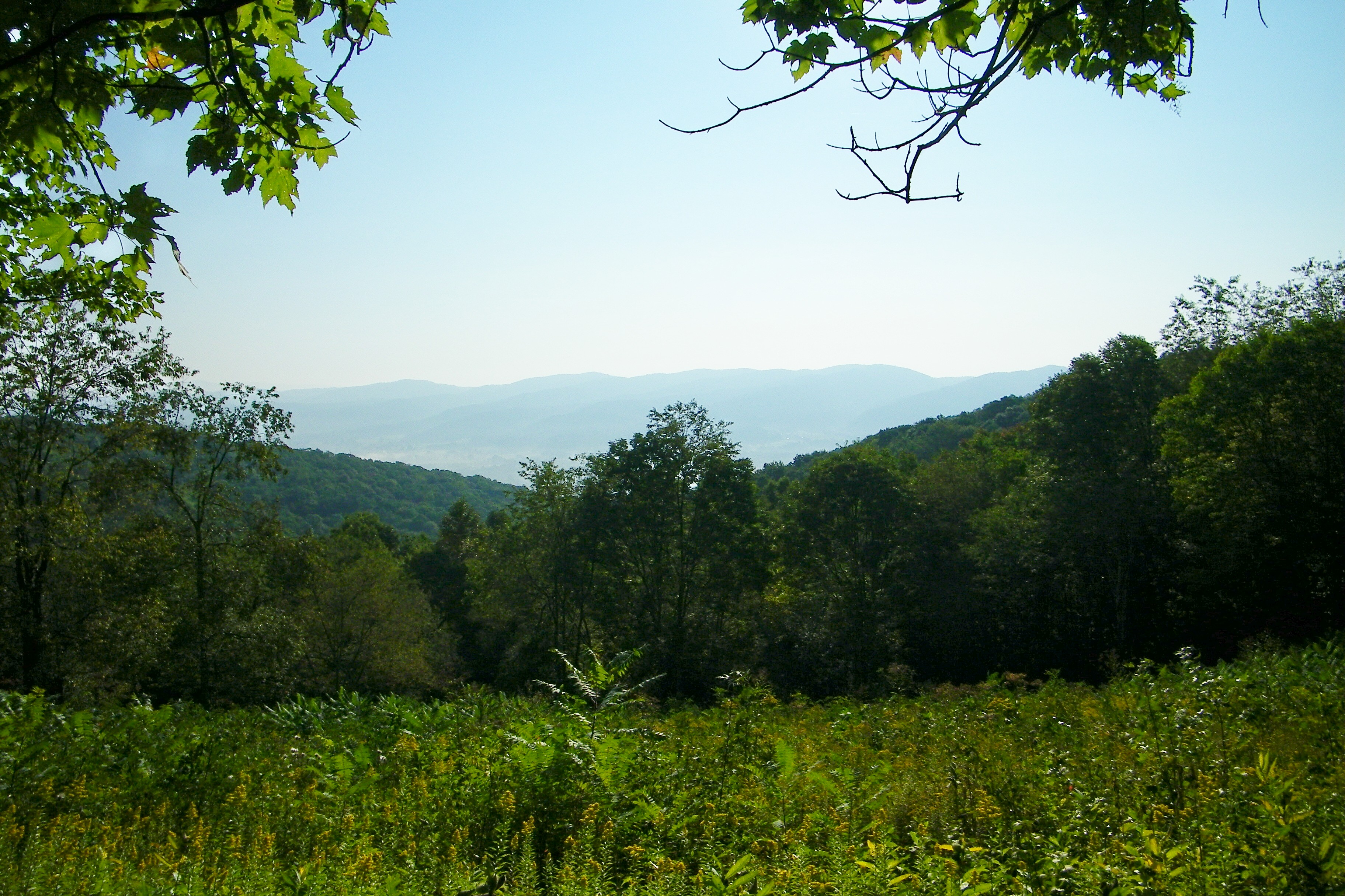
View from Flint Rock
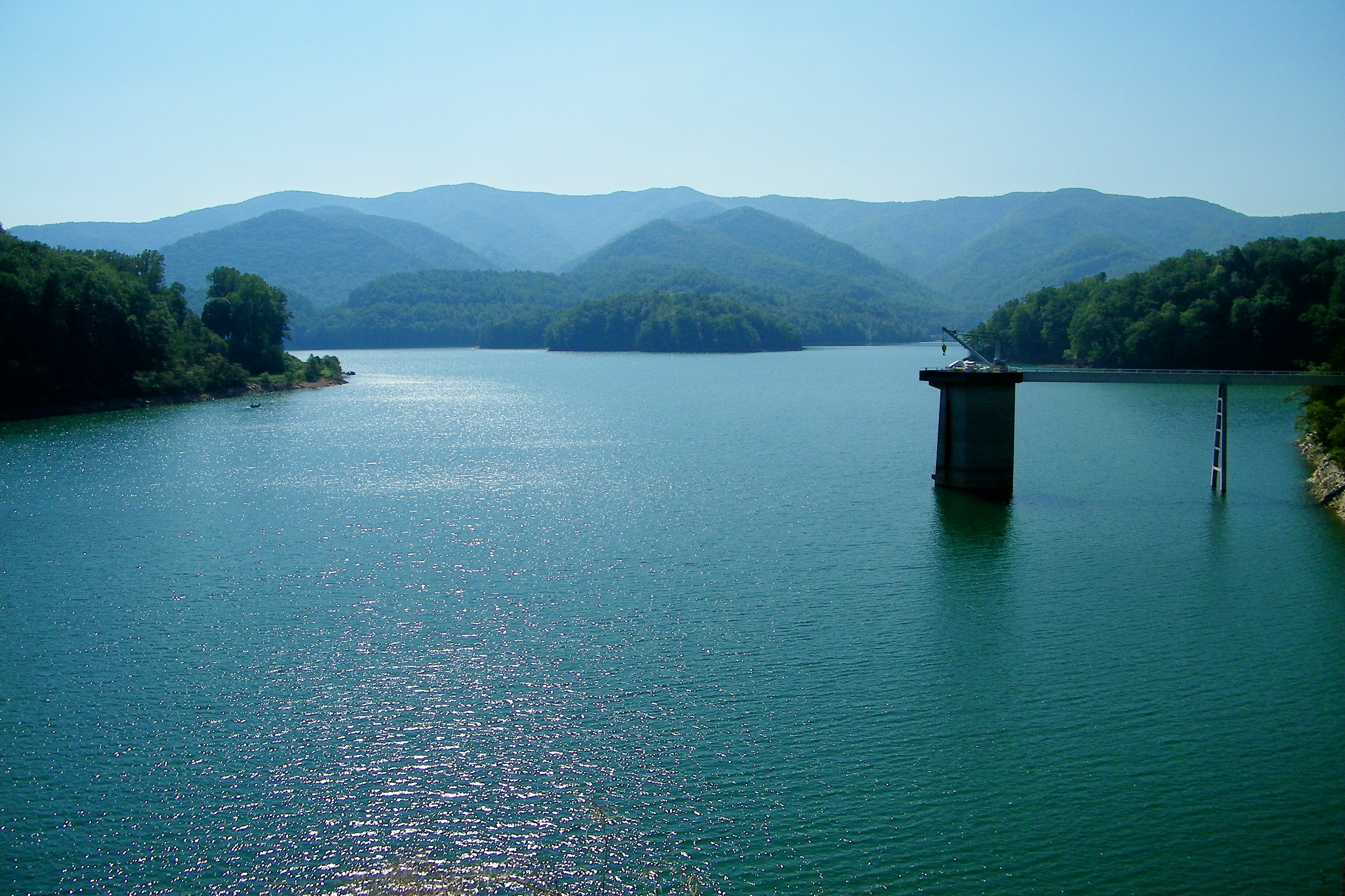
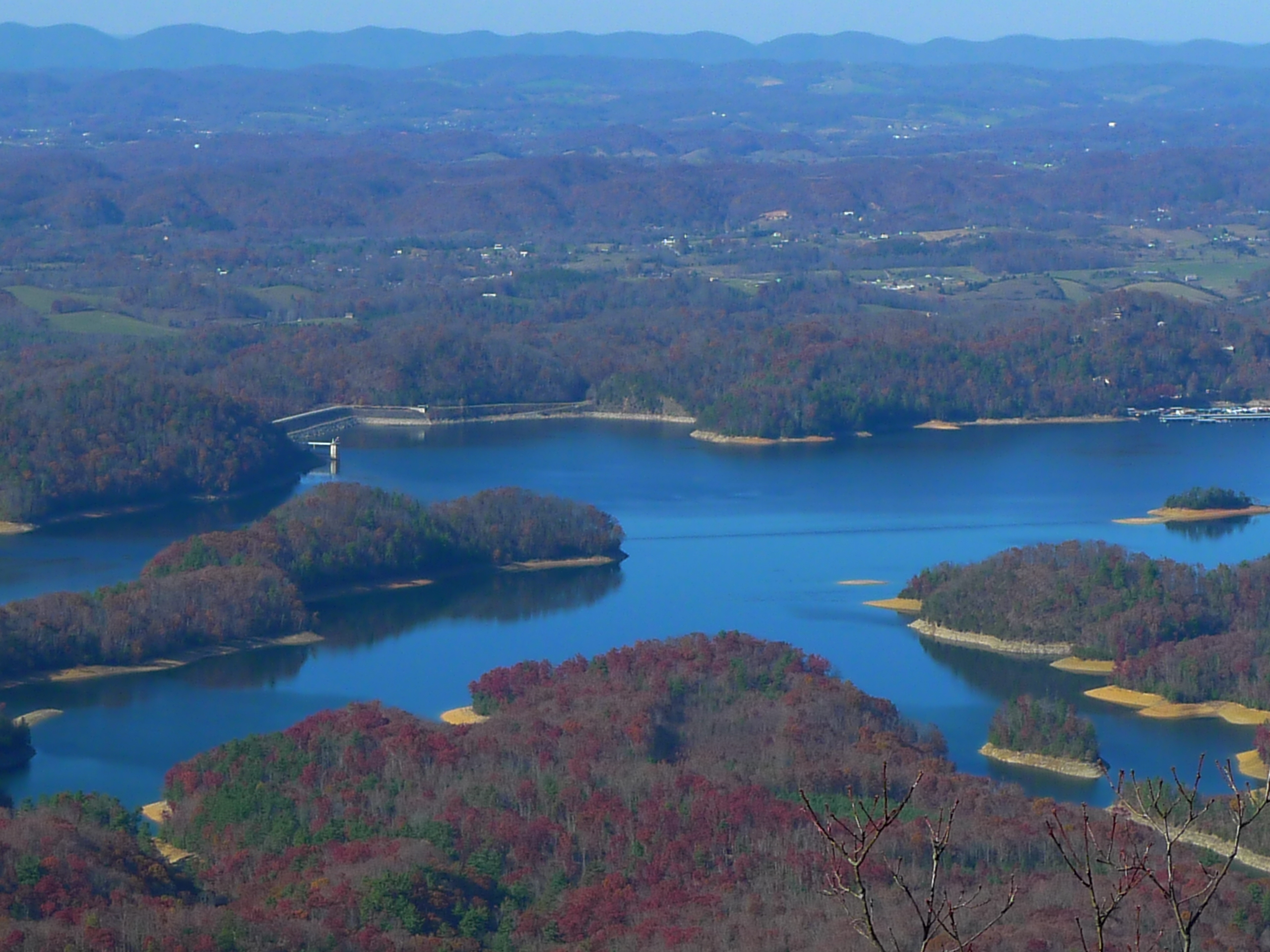
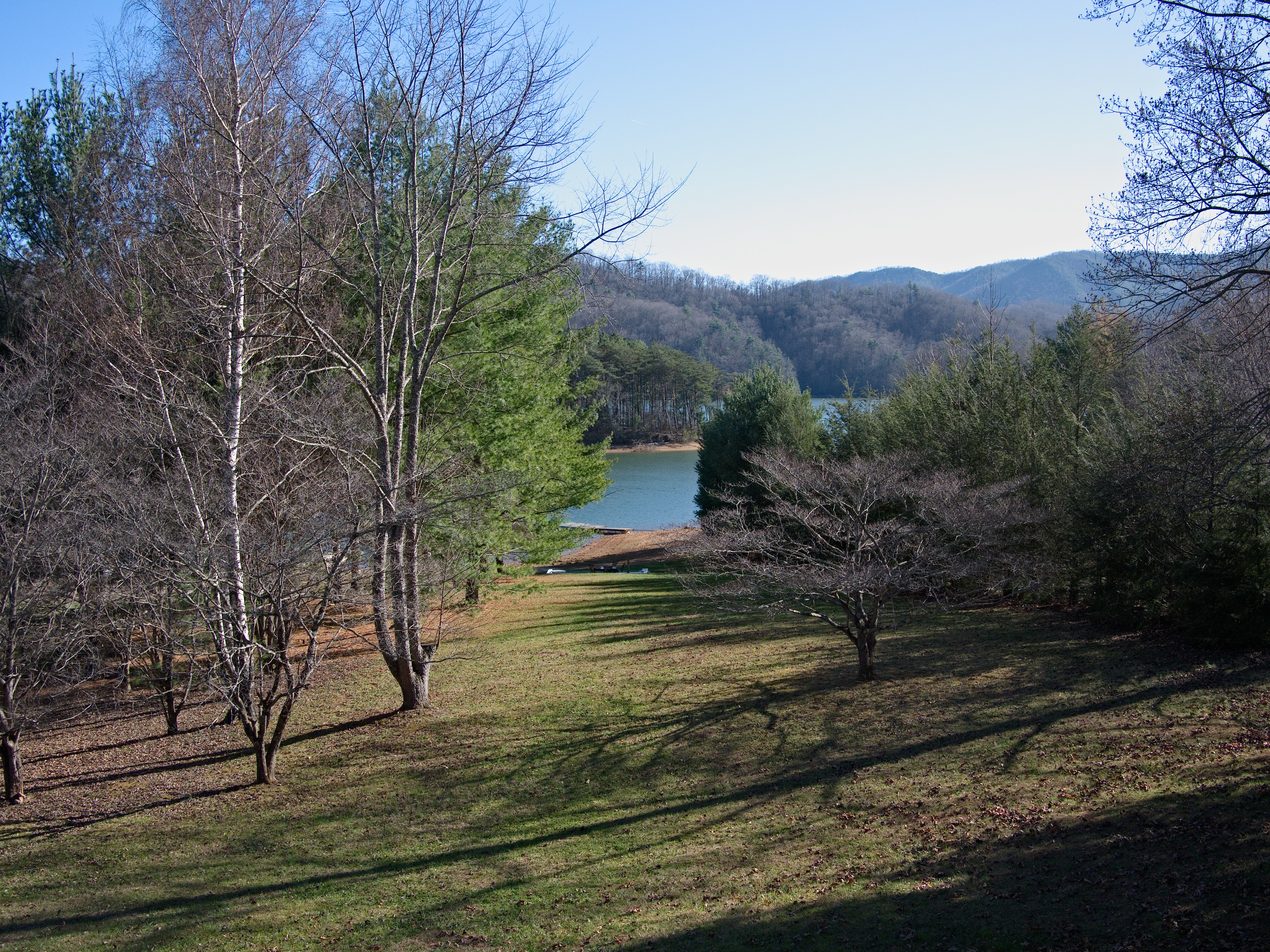
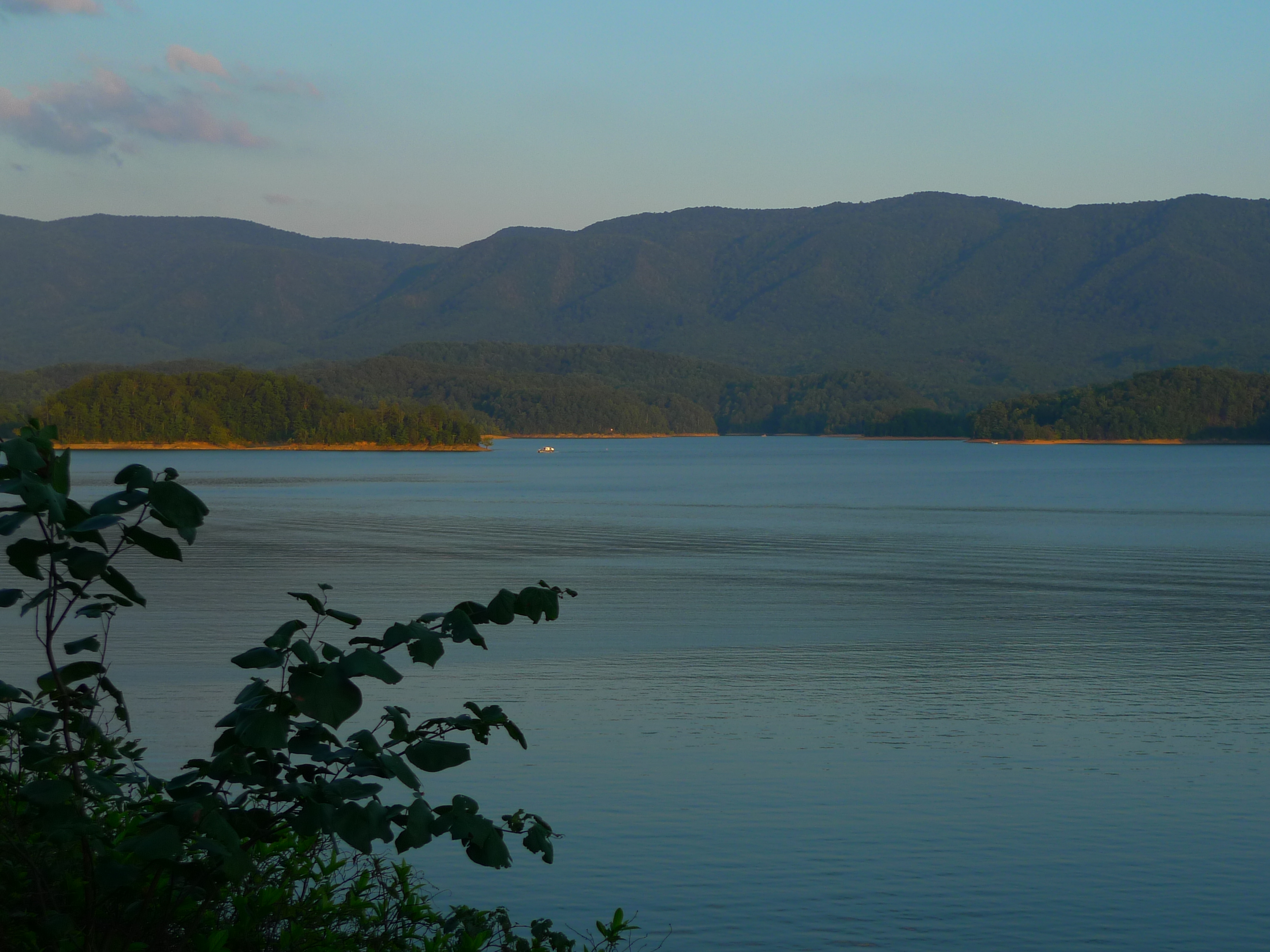
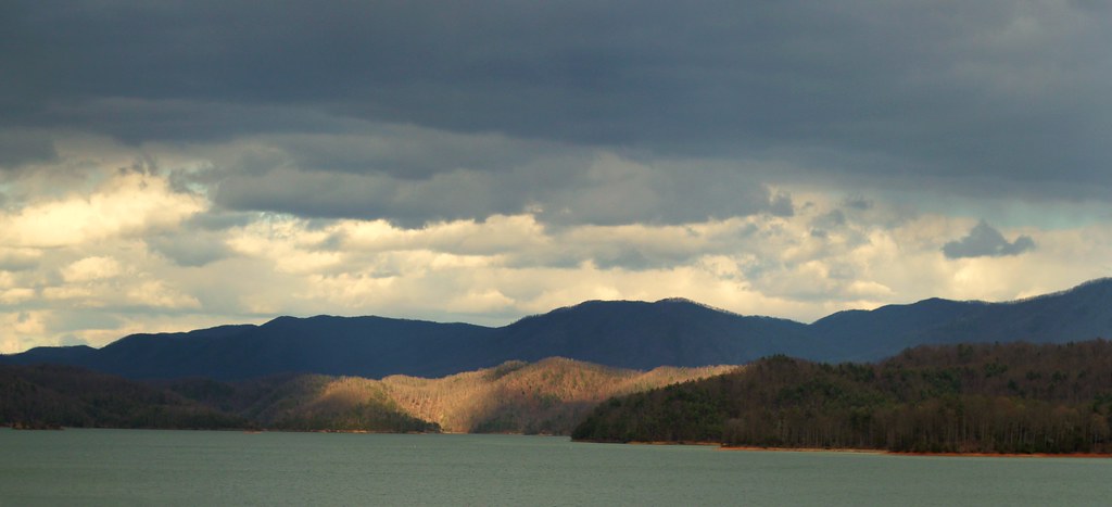
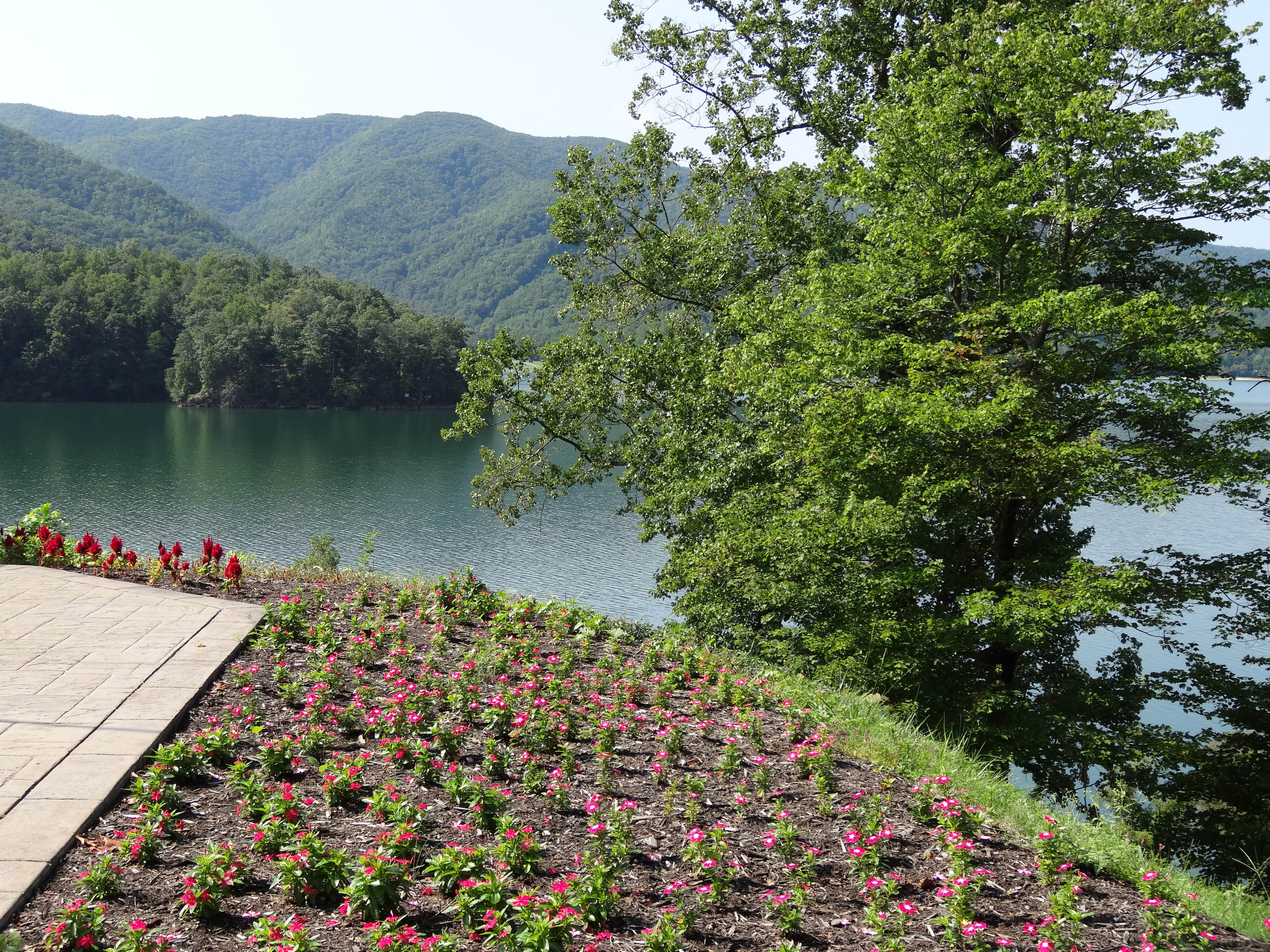
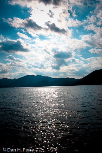
Watauga Lake

Appalachian Trail
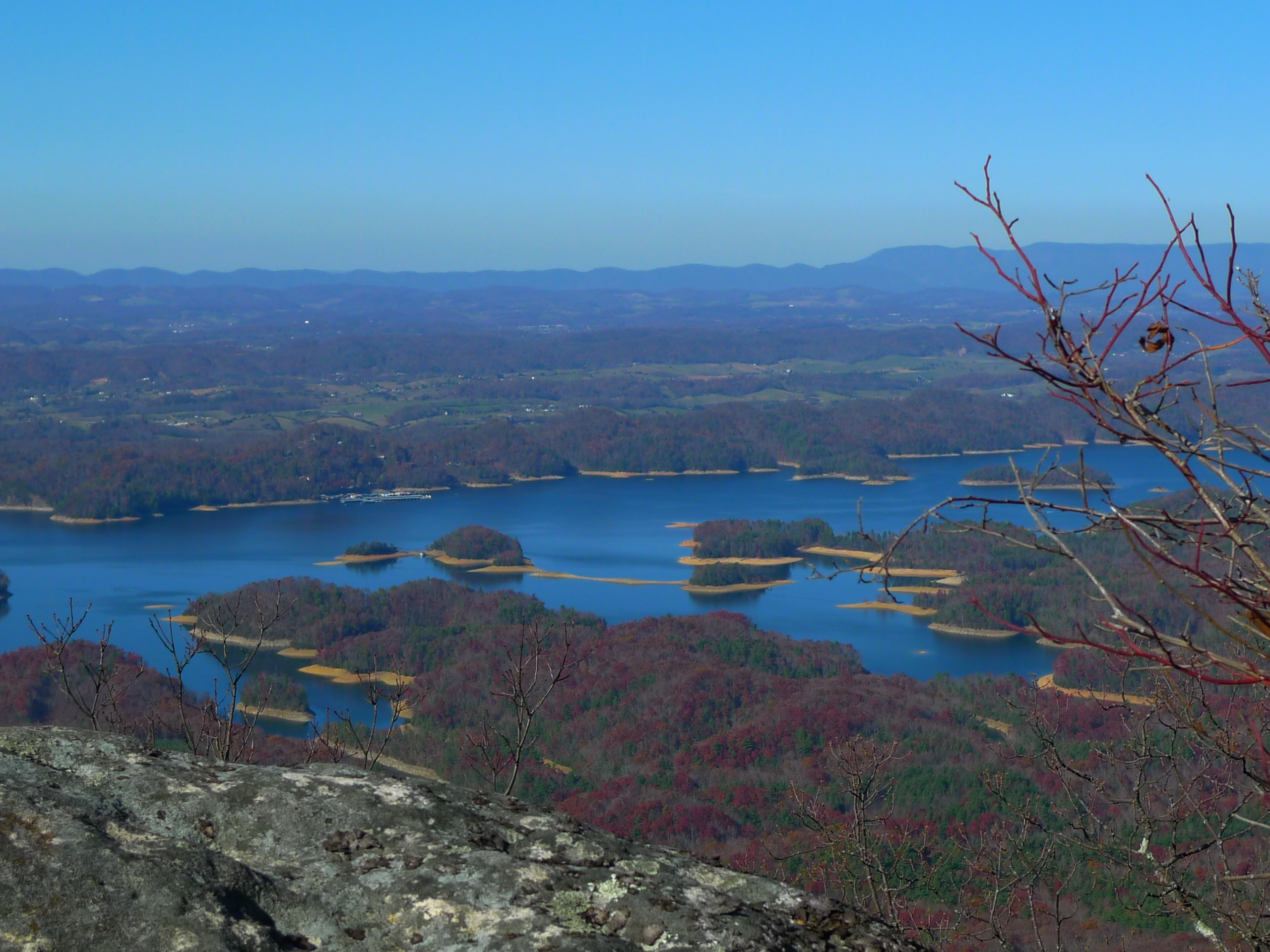
View from Flint Rock
Appalachian Trail
Appalachian Trail

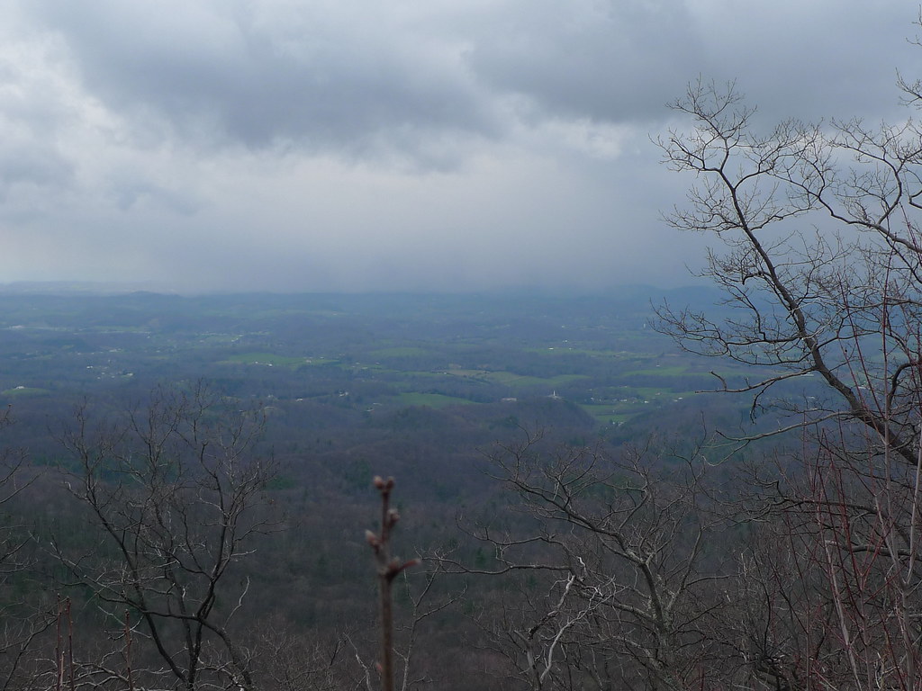
View from Vandeventer Shelter

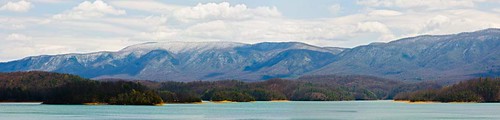
Watauga Lake, Carter County, TN

View from Vandeventer Shelter
Osborne Tract, Appalachian NST, Shady Valley, TN6
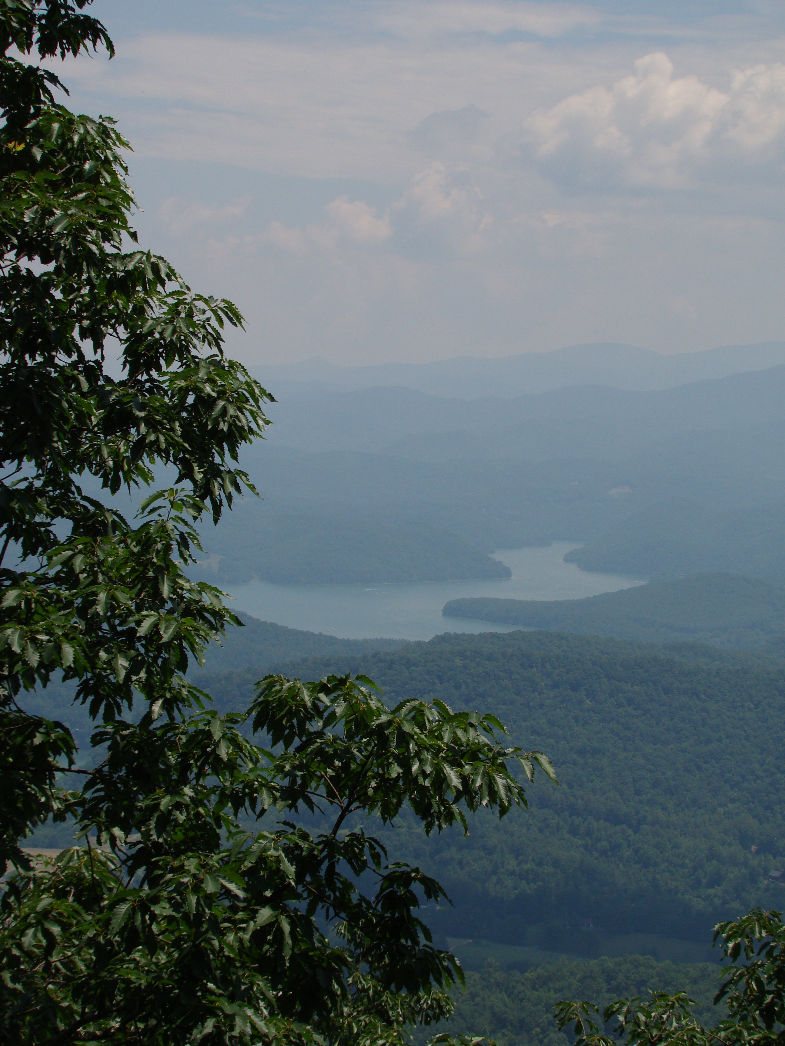
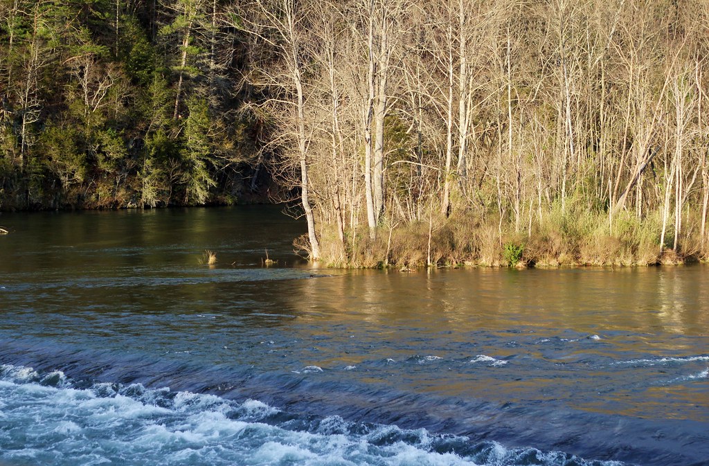
View of South Holston Lake

South Holston Lake
AT Hike Sony 064
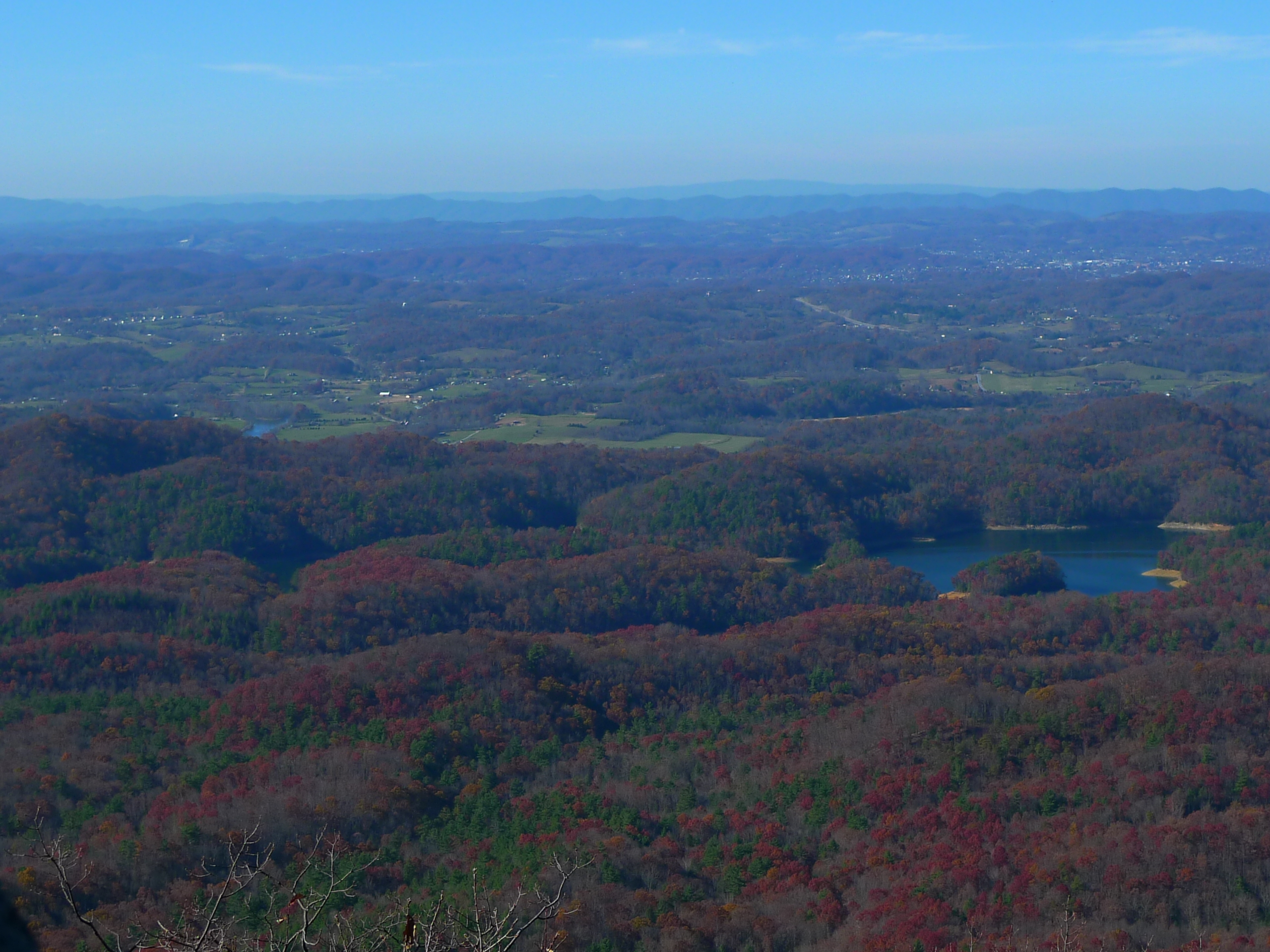
View from Flint Rock
View From The Top #13

View Back Over Wautauga Lake
What a view

Watauga Lake
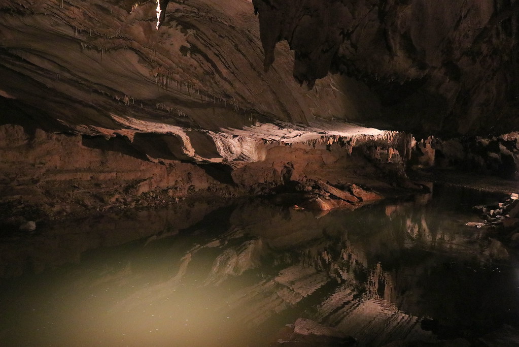
Bristol Caverns

C.R. "Doodle" White Overlook
Bristol TN/VA April 2011

Mountain Flame
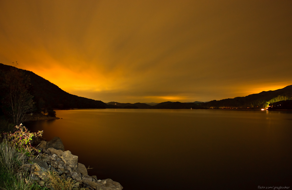
Watauga Lake at Night
Osborne Tract, Appalachian NST, Shady Valley, TN5
Bristol TN/VA April 2011
April Snow on Holston Mountain
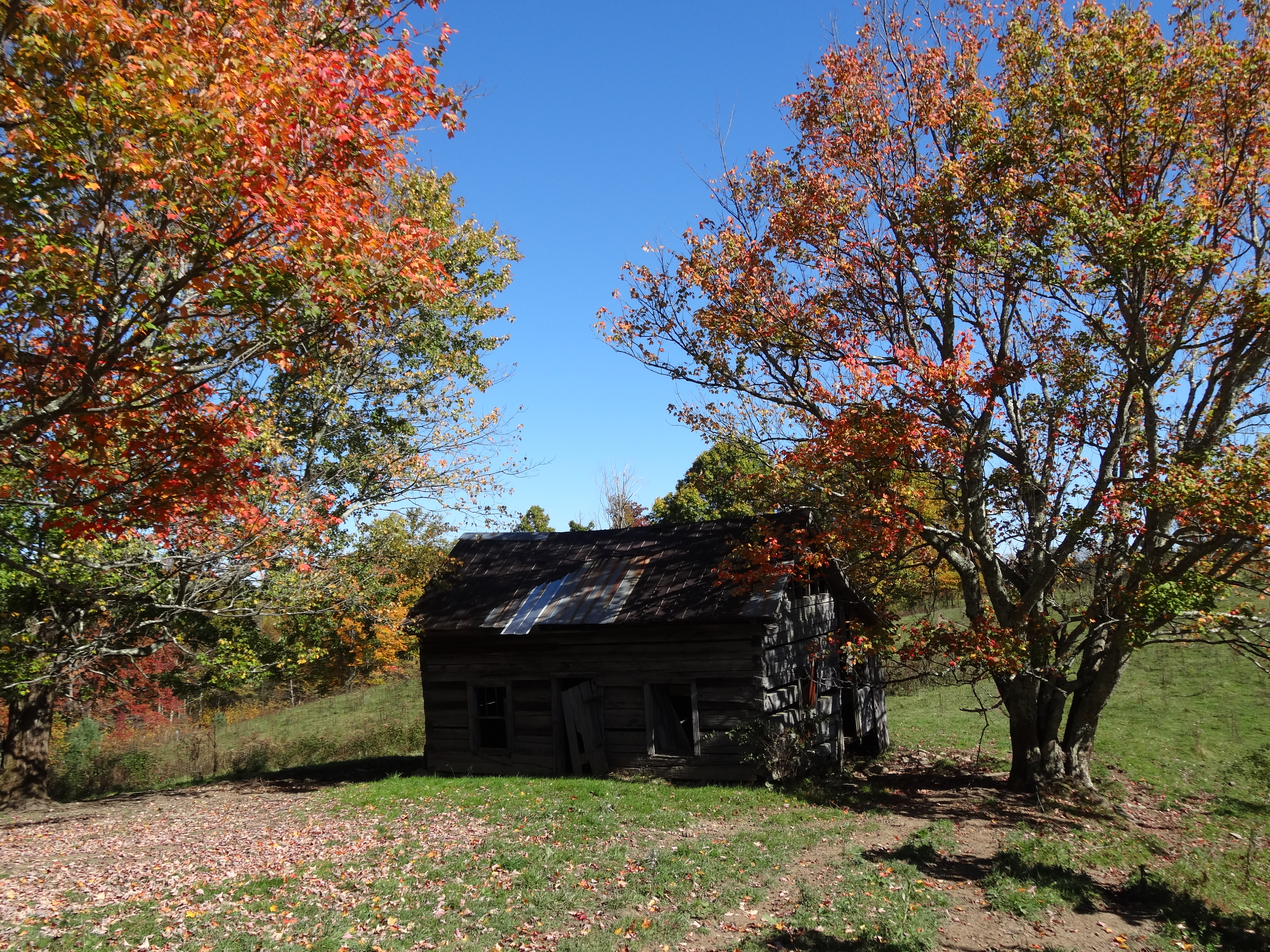
Old Cabin, Osborne Tract, Shady Valley, TN

Blue Hole in the Snow
Watauga Lake, Carter County, TN
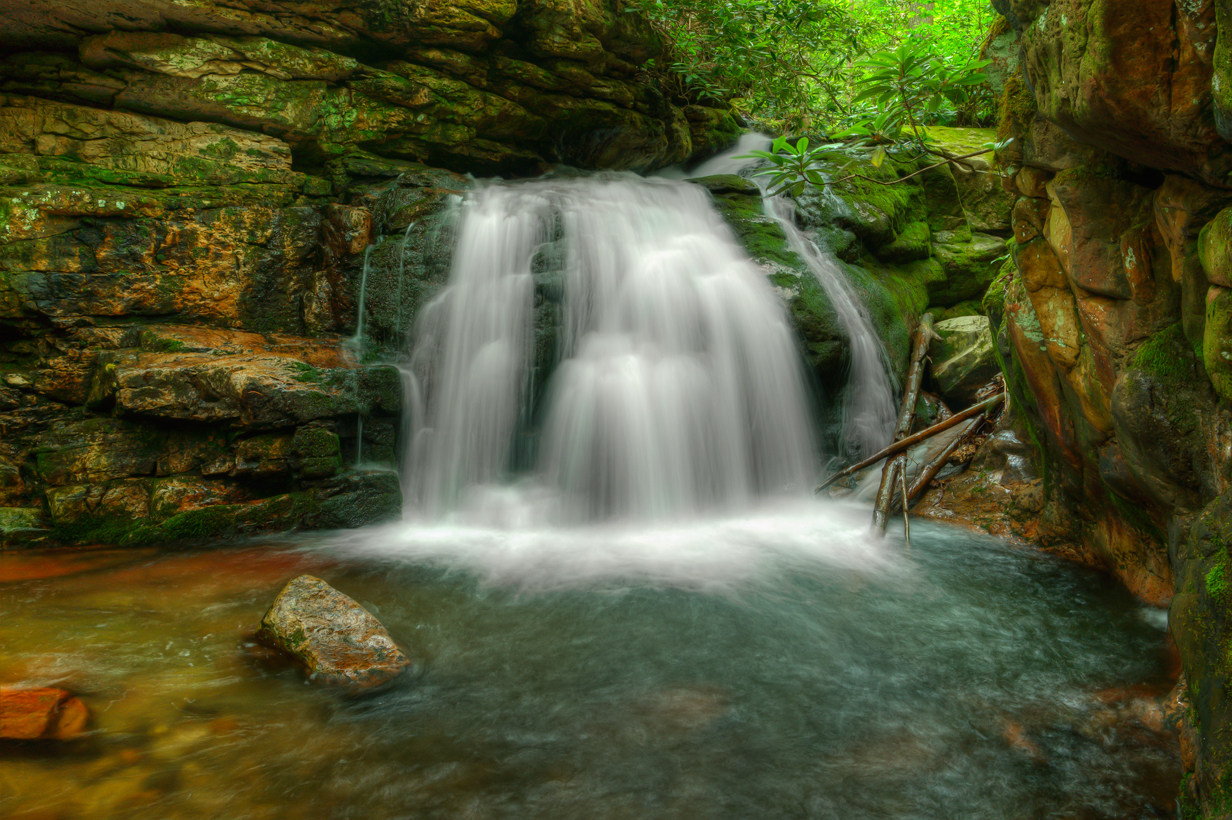
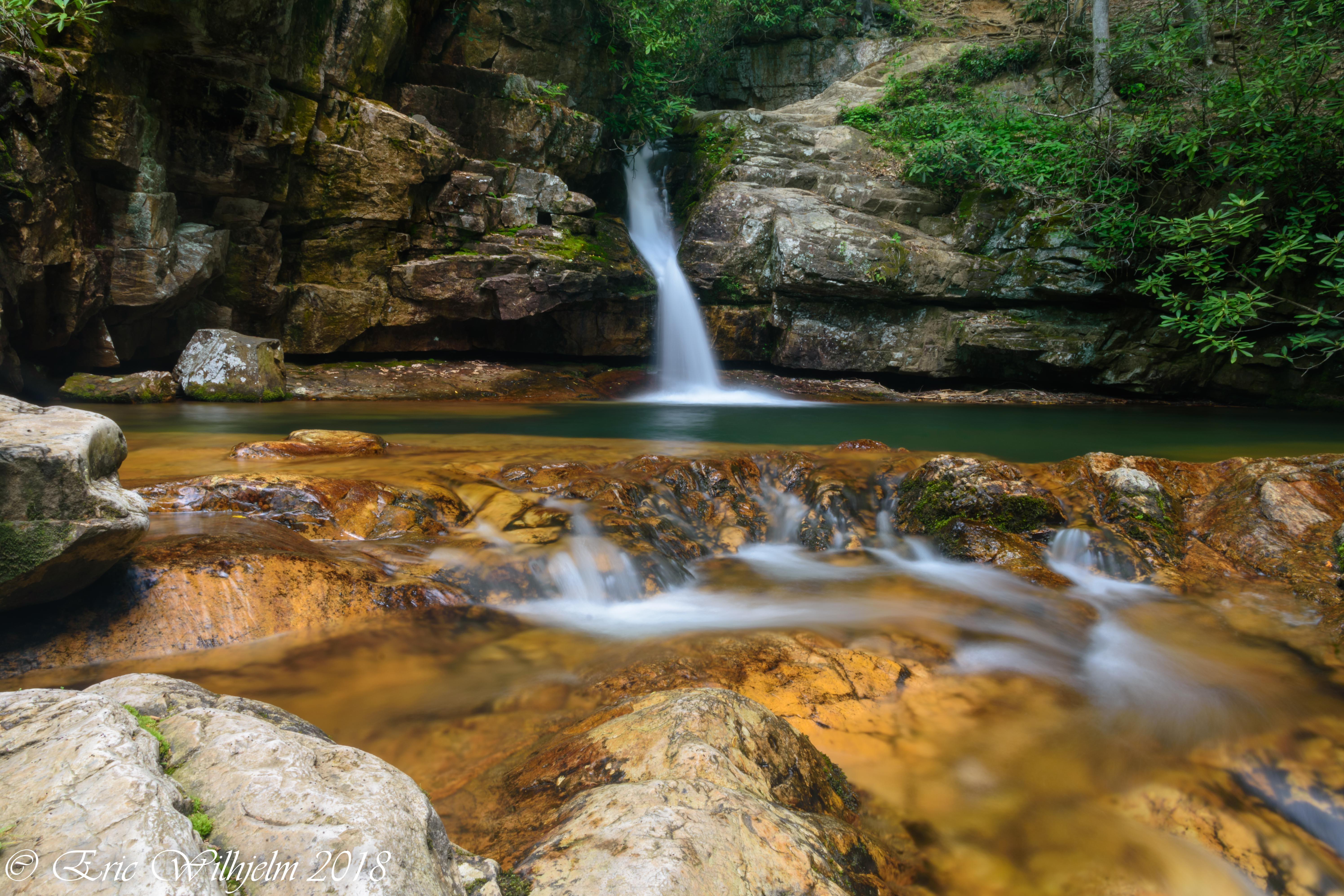
Blue Hole Falls

Days End
2009_07_03_9996_WatuagaLake-3

Serene Sunset
Holston Dam Road
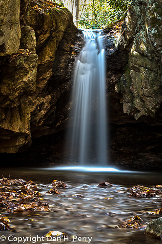
2012_10_21_8304_Blue_Hole-Edit
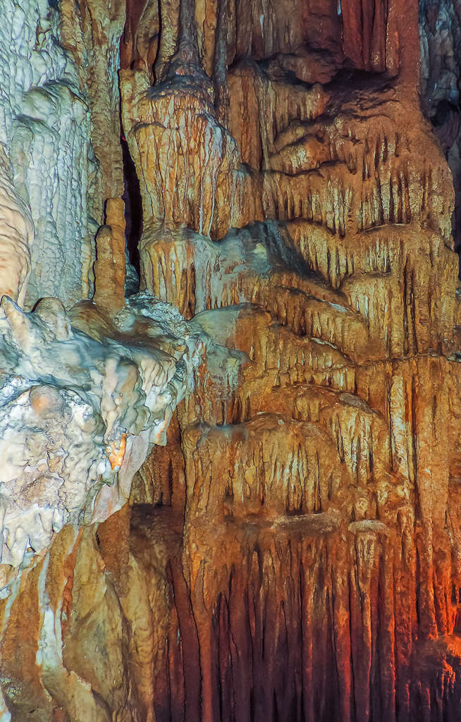
Bristol Caverns-9205

Doe River Covered Bridge
Blue Hole1
Topographic Map of Creekbank Rd, Elizabethton, TN, USA
Find elevation by address:

Places near Creekbank Rd, Elizabethton, TN, USA:
152 Creekbank Rd
103 Palms Ln
103 Palms Ln
252 Liberty Hollow Rd
178 Melody Ln
Largent Lane
187 Muddy Branch Rd
130 Unaka Subdivision Rd
120 Clyde White Rd
116 Forest Crest Ln
Winner
105 George Williams Rd
105 George Williams Rd
181 Dugger Branch Rd
Estep Hollow Road
251 Estep Hollow Rd
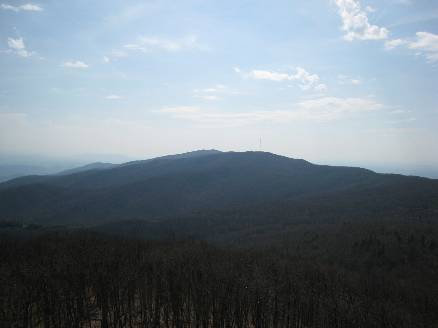
Holston Mountain
222 Bulldog Hollow
230 Bulldog Hollow
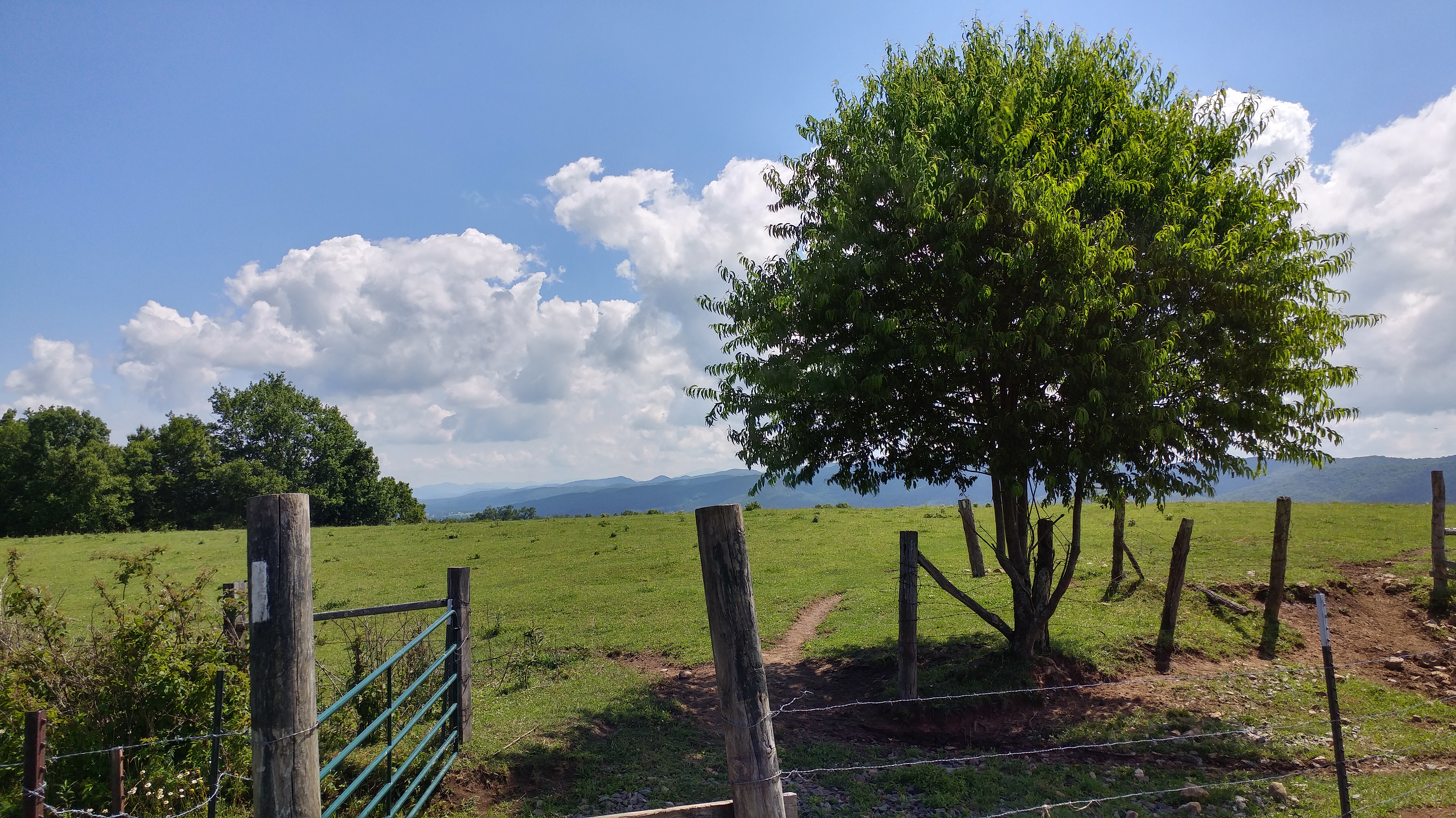
Flint Rock
Recent Searches:
- Elevation of Corso Fratelli Cairoli, 35, Macerata MC, Italy
- Elevation of Tallevast Rd, Sarasota, FL, USA
- Elevation of 4th St E, Sonoma, CA, USA
- Elevation of Black Hollow Rd, Pennsdale, PA, USA
- Elevation of Oakland Ave, Williamsport, PA, USA
- Elevation of Pedrógão Grande, Portugal
- Elevation of Klee Dr, Martinsburg, WV, USA
- Elevation of Via Roma, Pieranica CR, Italy
- Elevation of Tavkvetili Mountain, Georgia
- Elevation of Hartfords Bluff Cir, Mt Pleasant, SC, USA