Elevation of Creekbank Rd, Elizabethton, TN, USA
Location: United States > Tennessee > Carter County > Elizabethton >

Longitude: -82.075238

Latitude: 36.415111

Elevation: 570m / 1870feet

Barometric Pressure: 95KPa

Elevation Map:

elevation map of Creekbank Rd, Elizabethton, TN, USA
Satellite Map:

Satellite map of Creekbank Rd, Elizabethton, TN, USA
Related Photos:

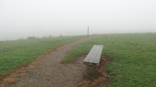
chfstew appalachiantrail landscape tennessee tnjohnsoncounty
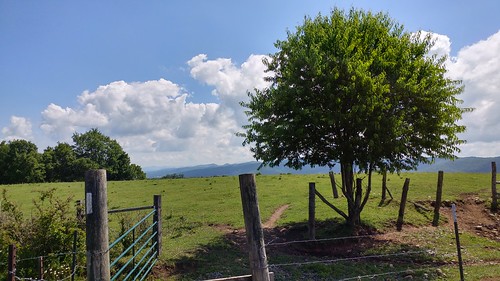
Osborne Tract, Appalachian NST, Shady Valley, TN5
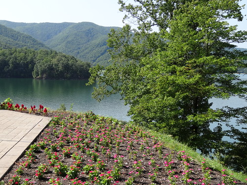
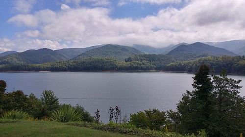
chfstew tennessee tncartercounty landscape lake
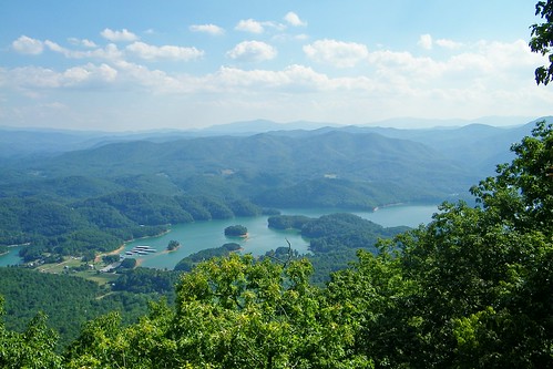
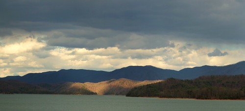
Watauga Lake, Carter County, TN
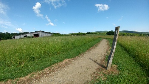
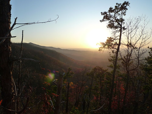
chfstew tennessee tnjohnsoncounty appalachiantrail landscape
Osborne Tract, Appalachian NST, Shady Valley, TN4
wild macro nature animal geotagged spider jumping tn tennessee arachnid stuff butler 1000 jumpingspider animalia arthropoda bold arachnida arthropod araneae rjs phidippus mountaincity phidippusaudax salticidae daringjumpingspider boldjumpingspider notcropped attributionnoncommercialsharealike ccbyncsa sal100m28 shouns taxonomy:kingdom=animalia taxonomy:class=arachnida taxonomy:order=araneae taxonomy:phylum=arthropoda taxonomy:family=salticidae taxonomy:genus=phidippus paudax sonyalphaa700 macro1to1 taxonomy:binomial=phidippusaudax ©2009emonk taxonomy:common=boldjumpingspider taxonomy:common=daringjumpingspider taxonomy:species=paudax
Bold Jumping Spider
from rock view flint
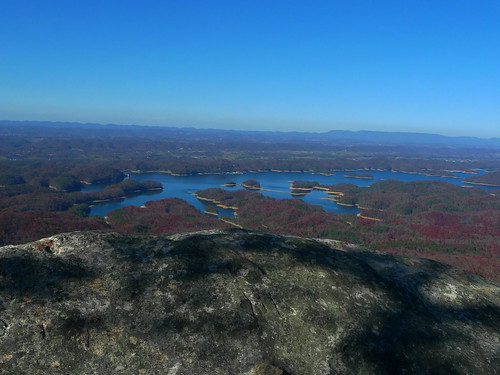
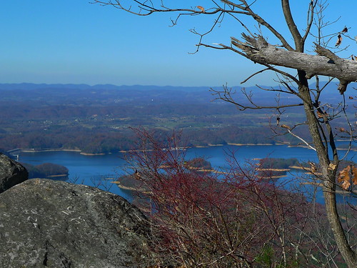
View from Flint Rock
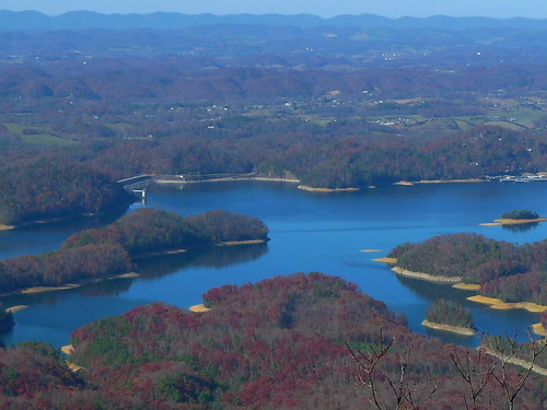
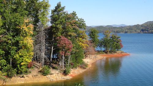
chfstew tennessee tncartercounty landscape lake
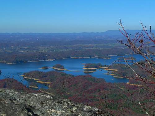
Watauga Lake, Carter County, TN5
View to South
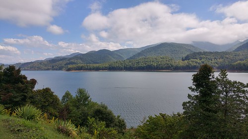
chfstew tncartercounty appalachiantrail tennessee lake
Watauga Lake, Carter County, TN3
chfstew tncartercounty appalachiantrail tennessee lake
Watauga Lake, Carter County, TN
chfstew tennessee tnjohnsoncounty appalachiantrail landscape
Osborne Tract, Appalachian NST, Shady Valley, TN6
from rock view flint
View from Flint Rock
tn tennessee storefronts 1908 elizabethton cartercounty bmok bmok2 elizabethtonwalkingtour barnesboringhardware
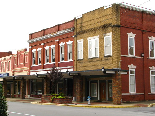
Storefronts of Historic Elizabethton - Barnes Boring Hardware
from rock view flint
View from Flint Rock
lake dam appalachian watauga
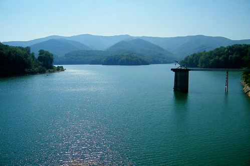
Watauga Lake
from rock view flint
View from Flint Rock
from rock view flint
View from Flint Rock
chfstew appalachiantrail landscape tennessee tnjohnsoncounty
Osborne Tract, Appalachian NST, Shady Valley, TN7
laurelfalls
Black Bear Resort 16/16
cinema theater tn tennessee artnouveau elizabethton cartercounty ritztheater bmok birchfielbuilding bmok2
Birchfiel Building (Ritz Theater)
spring double appalachian
Appalachian Trail
lake appalachian shelter watauga vandeventer
View from Vandeventer Shelter
lake mountains spring
Early Spring Green
trees mountain lake color fall forrest tennessee east explore national hero winner cherokee watauga thechallengefactory
Watauga Lake
appalachiantrail tennessee usa shadyvalley unitedstates us
JFRM-2017-04-7441.jpg
sunset lake nature landscape duck mallard
Mallard's Solitude
chfstew tennessee appalachiantrail landscape tnjohnsoncounty
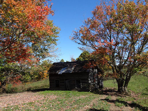
Old Cabin, Osborne Tract, Shady Valley, TN
snow frozen waterfall bluehole
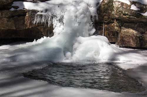
Blue Hole in the Snow
Bristol TN/VA April 2011
usa water outdoors unitedstates tennessee places things hampton wataugalake cartercounty
2009_07_03_9996_WatuagaLake-3
sunset sky lake mountains landscape
Mountain Flame
water unitedstates tennessee fallcolors waterfalls bluehole elizabethton
2012_10_21_8304_Blue_Hole-Edit
longexposure orange usa lake lightpainting motion black mountains reflection cars silhouette night clouds canon landscape eos rebel lights traffic cloudy tennessee 321 slowshutter 1855 efs taillights cloudysky xsi easttennessee lightpollution wataugalake 450d holstonmountain northeasttennessee gregbooher
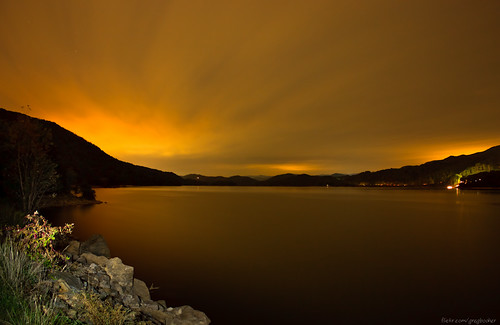
Watauga Lake at Night
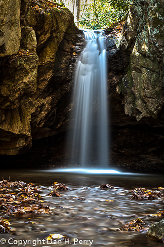
Blue Hole Falls
chfstew tennessee tncartercounty appalachiantrail landscape lake
Watauga Dam, Appalachian NST, Carter County, TN2
snow frozen waterfall bluehole
Blue Hole in the Snow
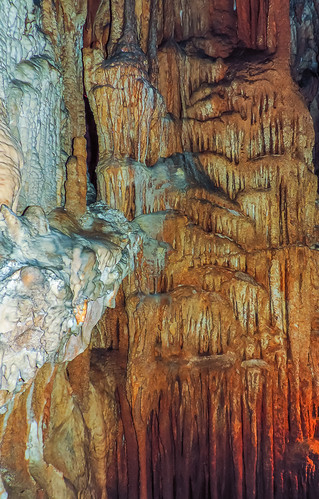
bristol tn tennessee cavern bristolcaverns
Bristol Caverns-9205
Holston Dam