Elevation of Crap Grisch, Safien, Switzerland
Location: Switzerland > Grisons > Surselva District > Vals > Sankt Martin >
Longitude: 9.2328145
Latitude: 46.6548559
Elevation: 2856m / 9370feet
Barometric Pressure: 71KPa
Elevation Map:
Satellite Map:
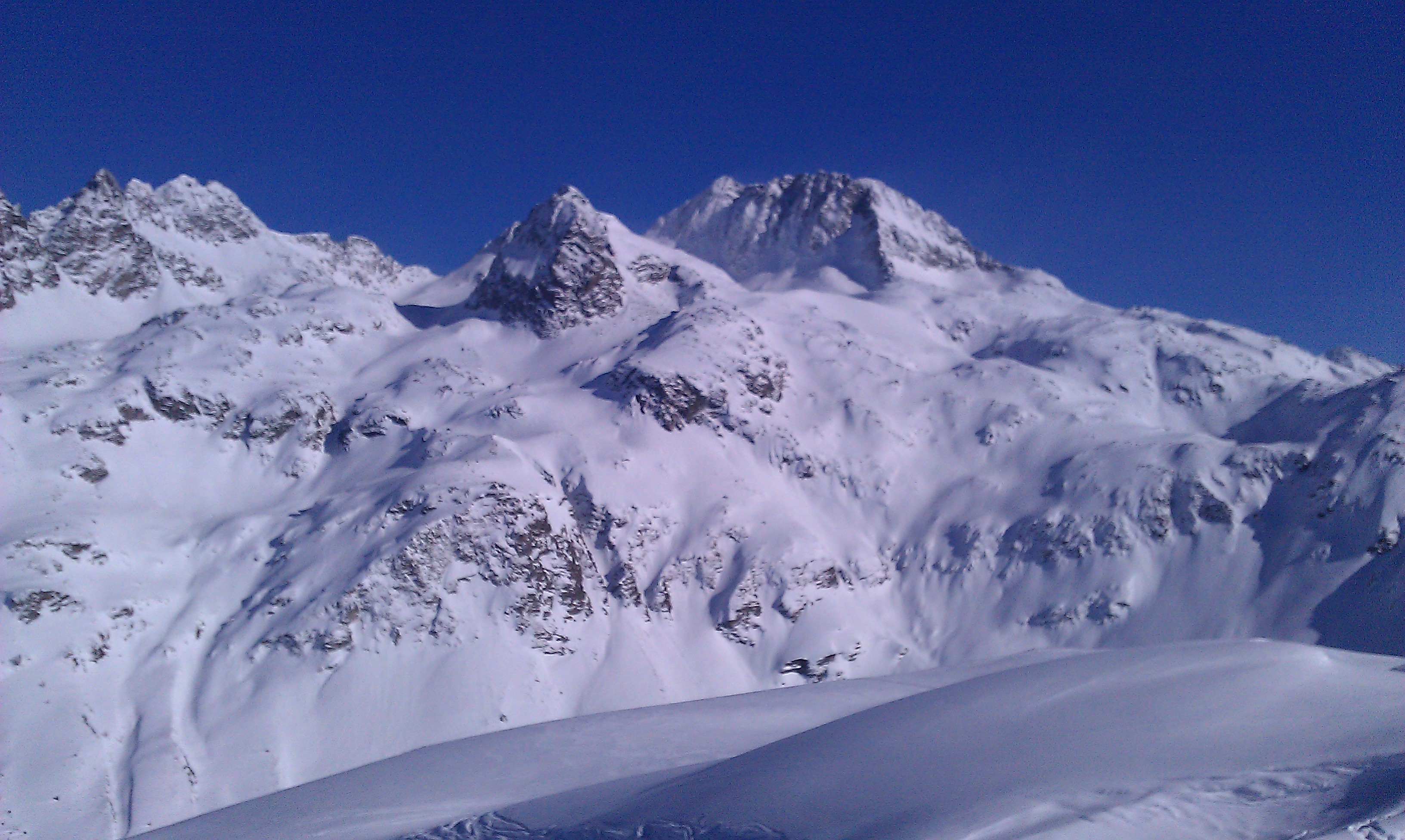
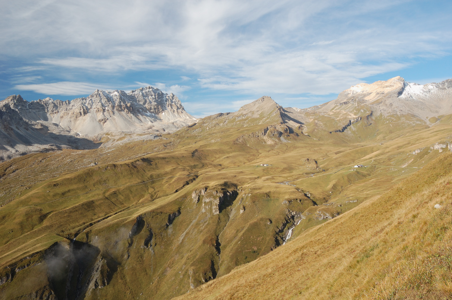
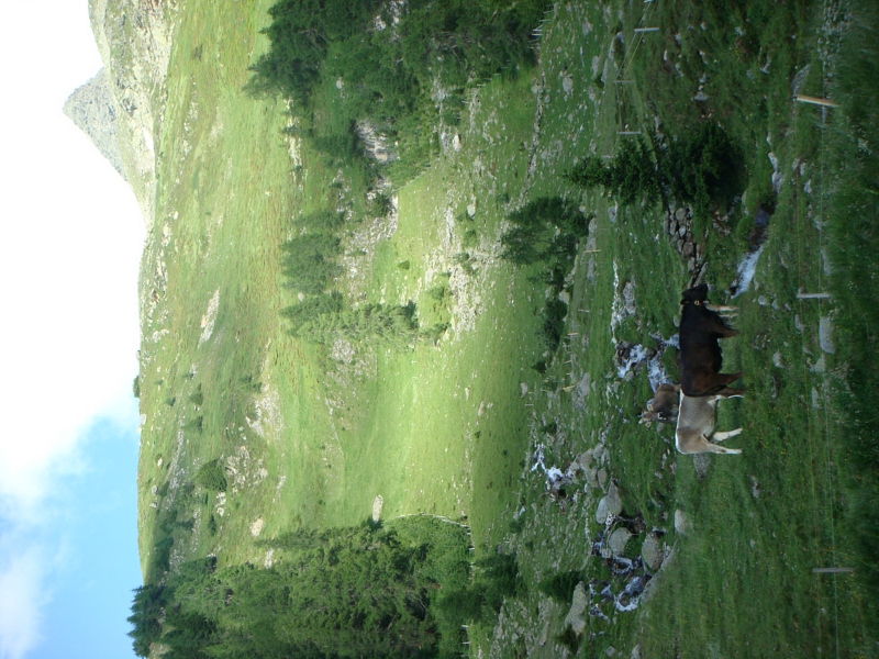
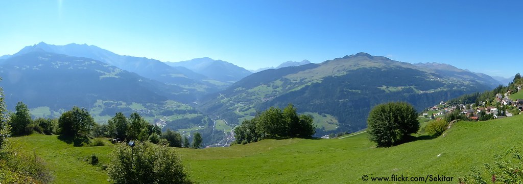
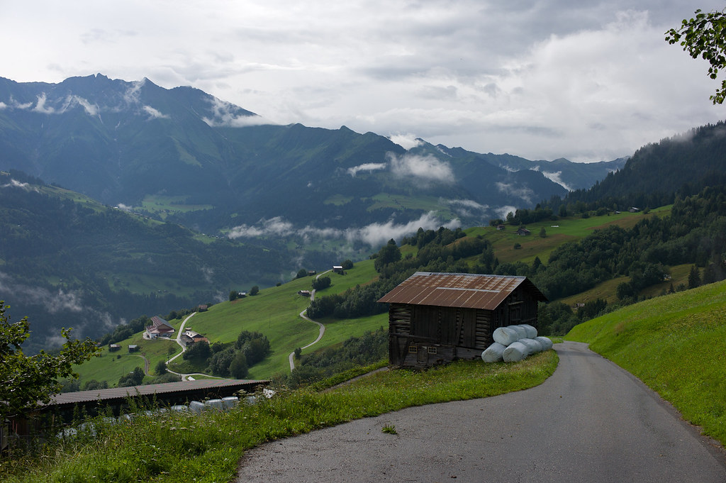
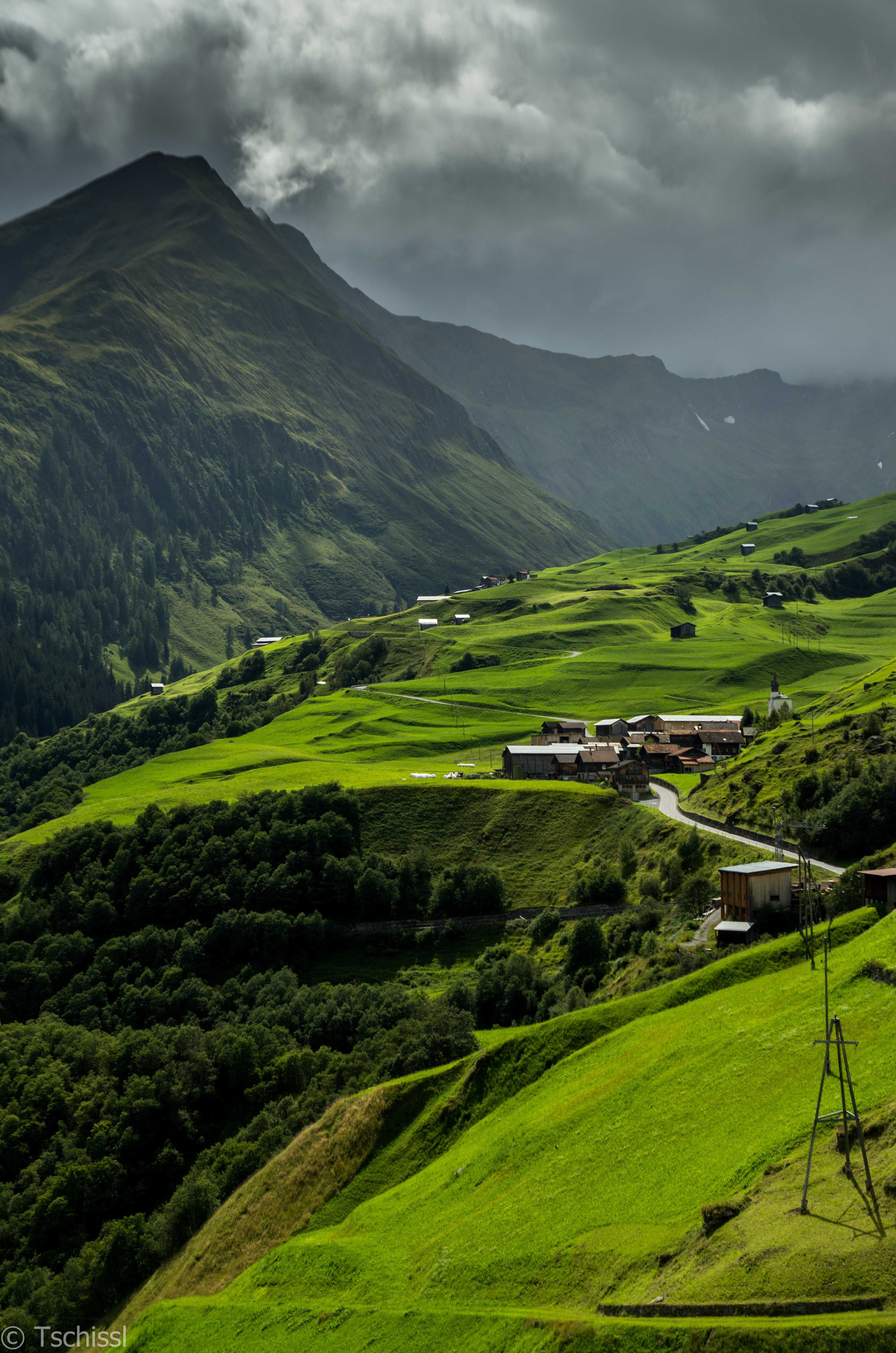
Related Photos:
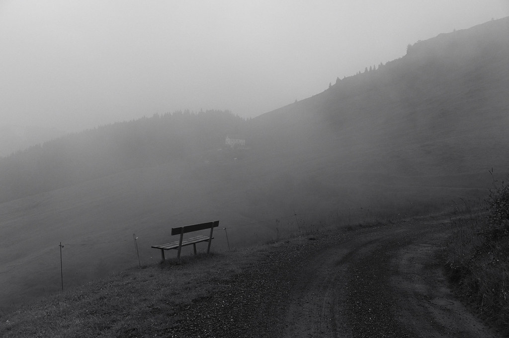
the bench with no view
DSC01311.JPG
Friday: afternoon view of Curtginatsch
Tuesday: View of Curtginatsch and the wall from the slopes of Muttolta
My current view
Saturday: Last views of Alp Curtginatsch

DSC01318.JPG
DSC01320.JPG
Ruschein seen from Ladir, Surselva, Grisons Switzerland
view to Val Lumnezia
Towards the end ...
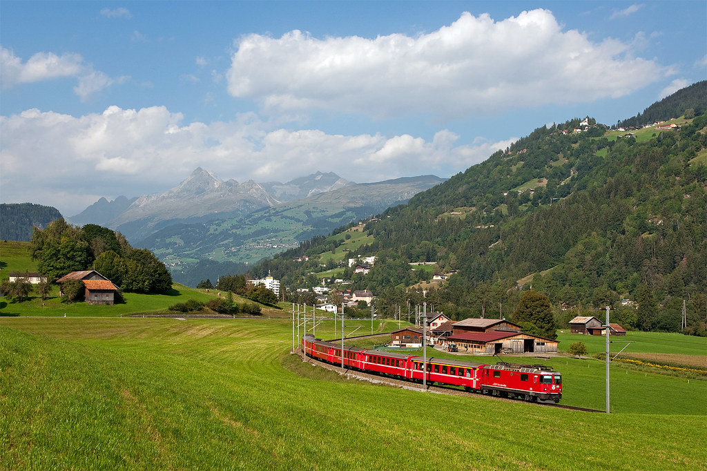
RhB Ge4/4'' 618
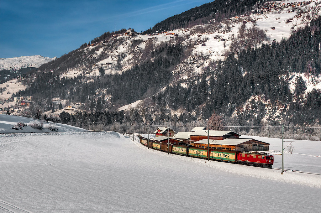
RhB Ge4/4' 602
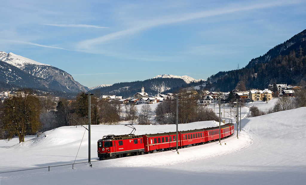
RhB Ge4/4'' 631

View from Oberurmein / Switzerland

20120613_01 Hiking map in 2 pieces | Kind of near Chur, Switzerland
The View 1

Vakantie Graubunden 2011
therme vals - me struggling to find entrance

Vakantie Graubunden 2011
vals: alps
Topographic Map of Crap Grisch, Safien, Switzerland
Find elevation by address:

Places near Crap Grisch, Safien, Switzerland:
Pala Da Tgiern
Surselva District
Sankt Martin
Piz Radun
Wanna 143
Therme
Therme
Suraua
Villa Vals
Vals
Vals
Schloss
Bruschghorn
Lumnezia
Safien
Piz Serenastga
Riein
Piz Fess
Pizzas D'anarosa
Piz Riein
Recent Searches:
- Elevation of Corso Fratelli Cairoli, 35, Macerata MC, Italy
- Elevation of Tallevast Rd, Sarasota, FL, USA
- Elevation of 4th St E, Sonoma, CA, USA
- Elevation of Black Hollow Rd, Pennsdale, PA, USA
- Elevation of Oakland Ave, Williamsport, PA, USA
- Elevation of Pedrógão Grande, Portugal
- Elevation of Klee Dr, Martinsburg, WV, USA
- Elevation of Via Roma, Pieranica CR, Italy
- Elevation of Tavkvetili Mountain, Georgia
- Elevation of Hartfords Bluff Cir, Mt Pleasant, SC, USA