Elevation of Crane County, TX, USA
Location: United States > Texas >
Longitude: -102.52980
Latitude: 31.4654966
Elevation: 793m / 2602feet
Barometric Pressure: 92KPa
Elevation Map:
Satellite Map:
Related Photos:
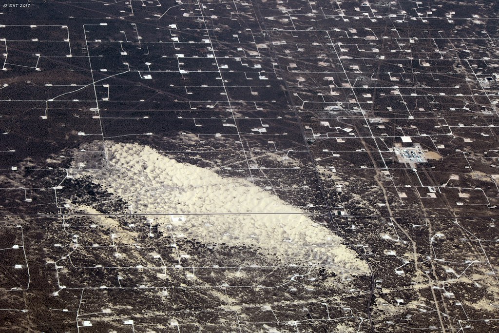
Crane County Oilwells & Sand Dunes

Dunes North of Tubbs Corner, TX
Plots
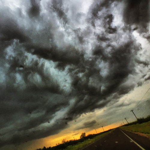
Stormy road trip weather! #storms #Texas #storm #clouds #roadtrip #rain #BellusPhoto.com #makemoments #momentwide #momentlens #photography #hail

Sitting around

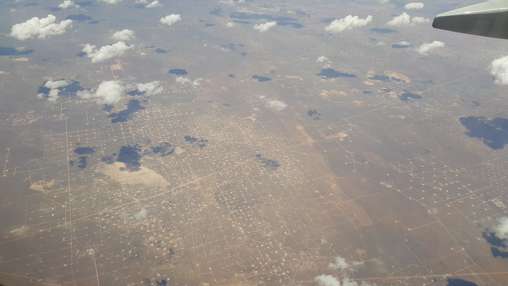
Sandhills and clouds
Topographic Map of Crane County, TX, USA
Find elevation by address:

Places in Crane County, TX, USA:
Places near Crane County, TX, USA:
Crane
S Quartz Ave, Odessa, TX, USA
W Murphy St, Odessa, TX, USA
24275 South
Interstate 20 Frontage Rd, Odessa, TX, USA
S Westcliff Rd, Odessa, TX, USA
S Moss Ave, Odessa, TX, USA
W Farm to Market Rd, Odessa, TX, USA
320 N Moss Ave
Ector County
S County Rd W, Odessa, TX, USA
W 11th St, Odessa, TX, USA
6620 Sunlight St
1405 N Essex Ave
Westover Acres
West Odessa
W 2nd St, Odessa, TX, USA
Williams Ave, Odessa, TX, USA
6819 W University Blvd
9500 W 42nd St
Recent Searches:
- Elevation of Corso Fratelli Cairoli, 35, Macerata MC, Italy
- Elevation of Tallevast Rd, Sarasota, FL, USA
- Elevation of 4th St E, Sonoma, CA, USA
- Elevation of Black Hollow Rd, Pennsdale, PA, USA
- Elevation of Oakland Ave, Williamsport, PA, USA
- Elevation of Pedrógão Grande, Portugal
- Elevation of Klee Dr, Martinsburg, WV, USA
- Elevation of Via Roma, Pieranica CR, Italy
- Elevation of Tavkvetili Mountain, Georgia
- Elevation of Hartfords Bluff Cir, Mt Pleasant, SC, USA