Elevation of Coyote Peak, California, USA
Location: United States > Susanville >
Longitude: -120.83273
Latitude: 40.2898918
Elevation: 2296m / 7533feet
Barometric Pressure: 77KPa
Elevation Map:
Satellite Map:
Related Photos:

Beautiful Pasture & Creeks

Mountain Pasture
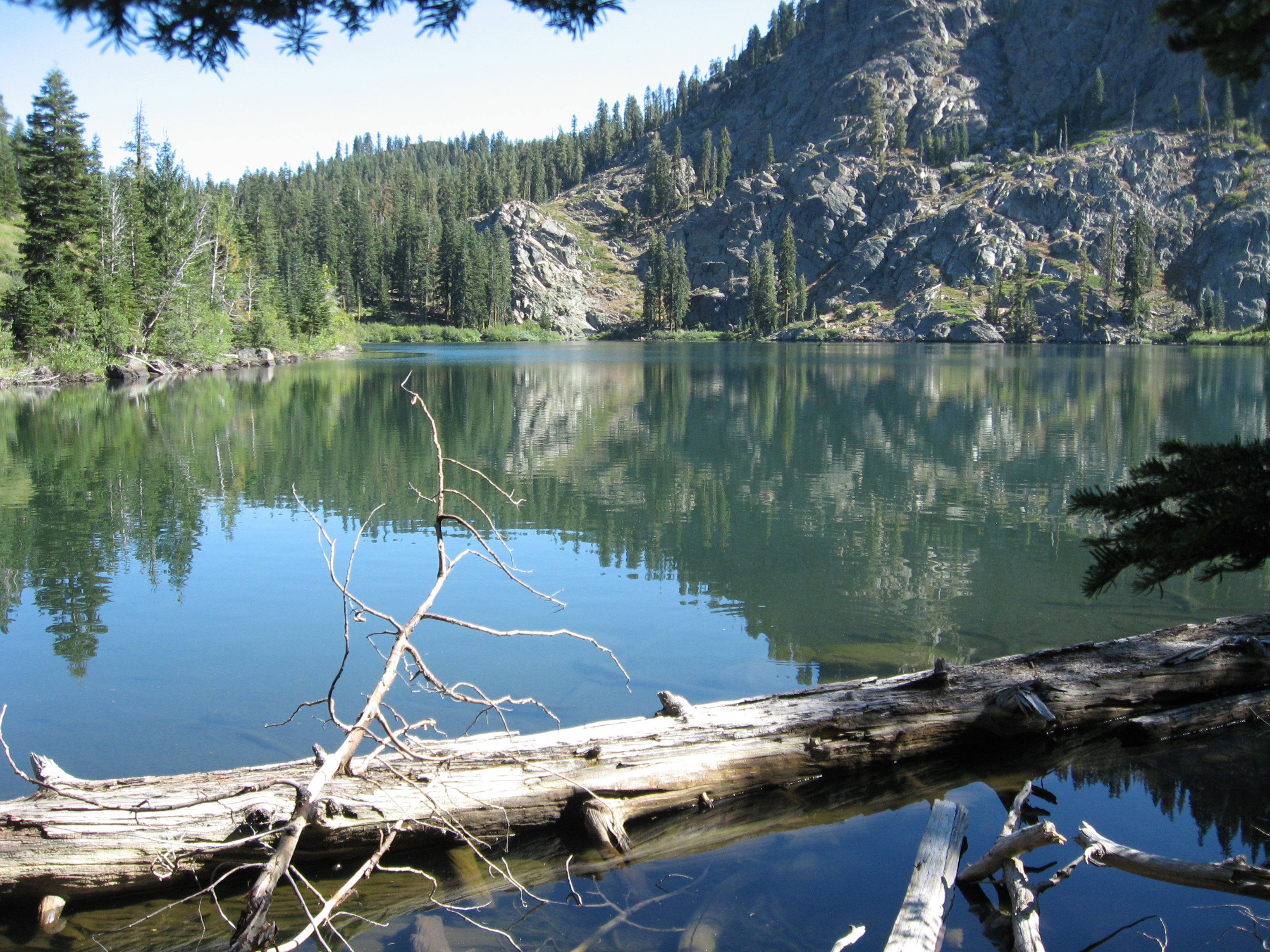
Homer Lake
Topographic Map of Coyote Peak, California, USA
Find elevation by address:

Places near Coyote Peak, California, USA:
13 CA-36, Susanville, CA, USA
Diamond Mountain
1182 27n09b
478-130 Lake Forest Dr
Estates Drive
Lassen Way
691-135 Las Plumas Way
Roop Mountain
699-500 Oak Mountain Dr
699-740 Old Archery Rd
Crescent Mills
Taylorsville
Susanville
696725 Peak Rd
871 Genesee Rd
2301 Main St
Boulder Creek Campground
704-600 Indians Rd
Mount Hough
Crescent Mills, CA, USA
Recent Searches:
- Elevation of Corso Fratelli Cairoli, 35, Macerata MC, Italy
- Elevation of Tallevast Rd, Sarasota, FL, USA
- Elevation of 4th St E, Sonoma, CA, USA
- Elevation of Black Hollow Rd, Pennsdale, PA, USA
- Elevation of Oakland Ave, Williamsport, PA, USA
- Elevation of Pedrógão Grande, Portugal
- Elevation of Klee Dr, Martinsburg, WV, USA
- Elevation of Via Roma, Pieranica CR, Italy
- Elevation of Tavkvetili Mountain, Georgia
- Elevation of Hartfords Bluff Cir, Mt Pleasant, SC, USA