Elevation of Covington, IN, USA

Location: United States > Indiana > Fountain County > Troy Township >

Longitude: -87.394735

Latitude: 40.1417045

Elevation: 172m / 564feet

Barometric Pressure: 99KPa

Elevation Map:

elevation map of Covington, IN, USA

Satellite Map:

Satellite map of Covington, IN, USA

Related Photos:

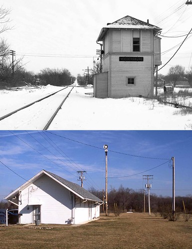
NYC Tower, Veedersburg, Indiana
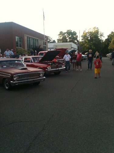
show county house classic apple fountain car festival court square indiana annual covington 2014
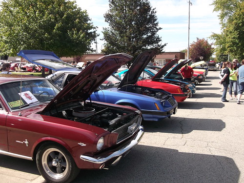
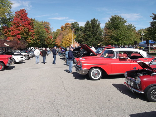
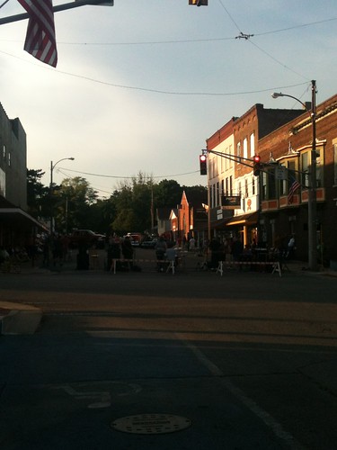
General view of the car show
auto show hot classic apple car festival truck vintage rat indiana restored rod custom veteran covington
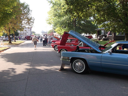
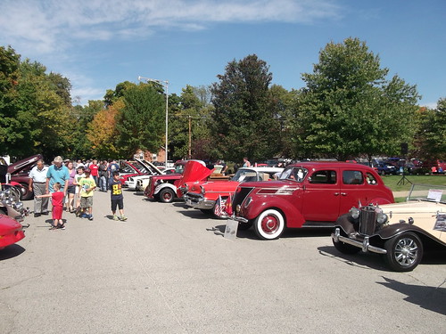
General view of the car show
show county house classic apple fountain car festival court square indiana annual covington 2014
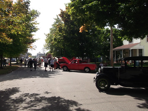
General view of the car show
show county hot classic apple fountain car festival truck vintage indiana motorcycle restored rod annual custom veteran applefest covington
General view of the car show
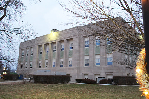
Fountain County Courthouse
show county house classic apple fountain car festival court square indiana annual covington 2014
General view of the car show
cruise music hot classic car antique band indiana restored rod custom veteran truckshow veedersburg
General view of the cruise in, including the band.
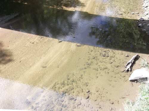
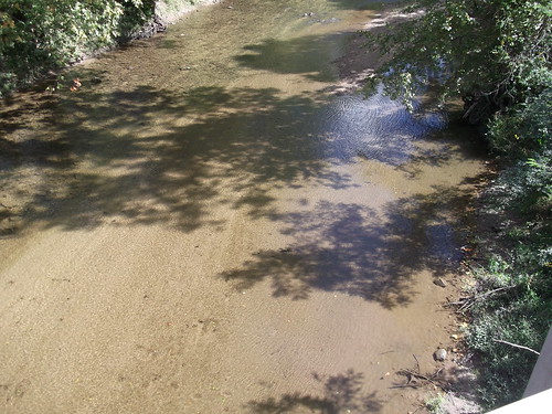
county bridge fountain indiana historic covered howe truss
View from Cade's Mill bridge
county bridge fountain indiana historic covered howe truss
View from Cade's Mill bridge
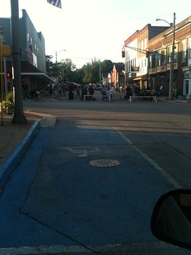
cruise music hot classic car antique band indiana restored rod custom veteran truckshow veedersburg
General view of the cruise in
cruise music hot classic car antique band indiana restored rod custom veteran truckshow veedersburg
General view of the cruise in, including the band
cruise music hot classic car antique band indiana restored rod custom veteran truckshow veedersburg
General view of the cruise in(2)
cruise music hot classic car antique band indiana restored rod custom veteran truckshow veedersburg
General view of the cruise in, includ(2)
portland arch hiking indiana naturalbridge naturepreserve portlandarch
IMG_1186[1]
flickrandroidapp:filter=none
phone pics two
flickrandroidapp:filter=none
phone pics
blue sky mobile clouds corn country fields 2012 htcamaze4g
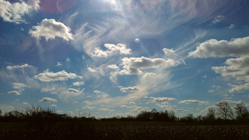
Magnificent vastness
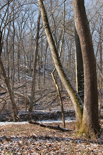
park winter nature forest portland frozen arch indiana preserve bearcreek
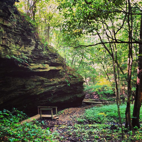
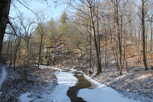
Portland Arch Nature Preserve Indiana
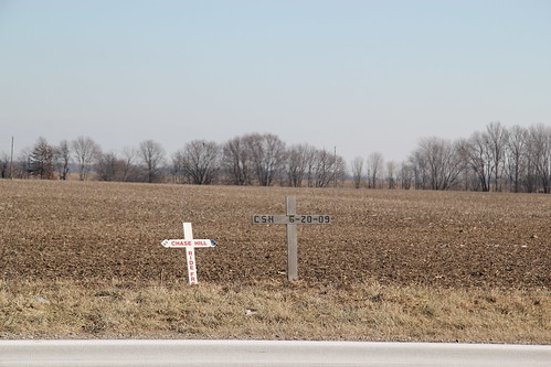
cross accident indiana motorcycle marker roadside chasehill
Roadside Marker Route 41 for Chase Hill killed in a 2009 motorcycle accident
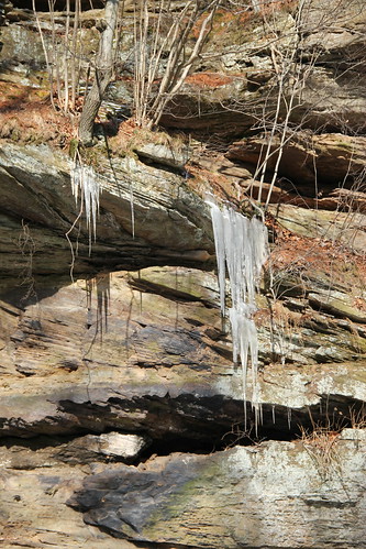
park winter nature forest portland frozen arch indiana preserve bearcreek
Portland Arch Nature Preserve Indiana
golf indiana golfing scramble covington
Golf Outing Pano
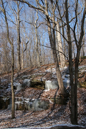
park winter nature forest portland frozen arch indiana preserve bearcreek
Portland Arch Nature Preserve Indiana
park winter nature forest portland frozen arch indiana preserve bearcreek
Portland Arch Nature Preserve Indiana
indiana highways roads dixiehighway us136
Old alignment at Wabash River
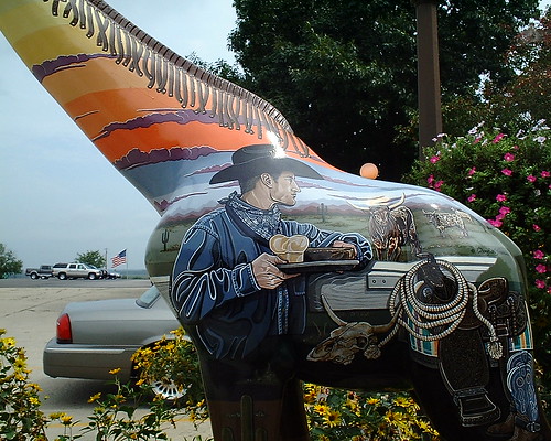
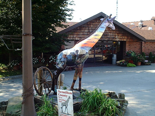
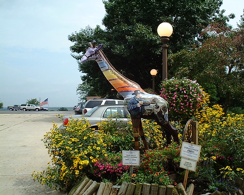
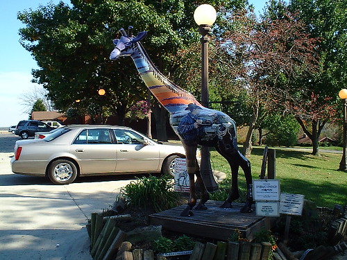
county community indiana giraffe vermillion covington
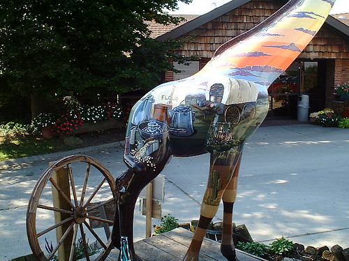
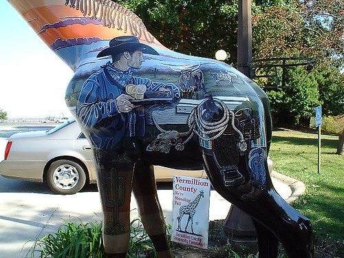
Yeast Rolls & Ranch Dressing at the Beef House Restaurant near jct. SR 63 and I 74
county community indiana giraffe vermillion covington
Yeast Rolls & Ranch Dressing at the Beef House Restaurant near jct. SR 63 and I 74
county community indiana giraffe vermillion covington
Yeast Rolls & Ranch Dressing at the Beef House Restaurant near jct. SR 63 and I 74
county community indiana giraffe vermillion covington
Yeast Rolls & Ranch Dressing at the Beef House Restaurant near jct. SR 63 and I 74
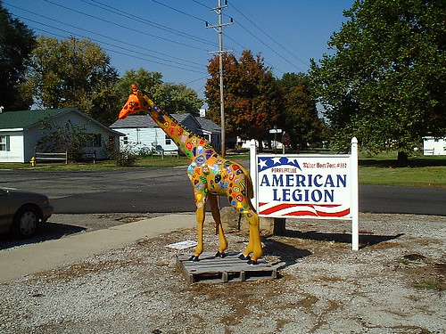
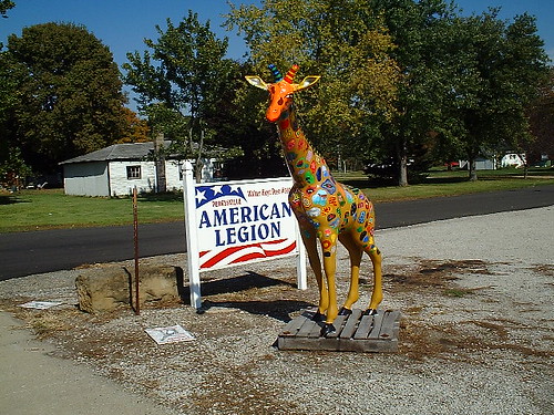
county community indiana giraffe vermillion perrysville
Perrysville Pride at the American Legion post on old SR 63 in downtown Perrysville
county community indiana giraffe vermillion covington
Yeast Rolls & Ranch Dressing at the Beef House Restaurant near jct. SR 63 and I 74
county community indiana giraffe vermillion covington
Yeast Rolls & Ranch Dressing at the Beef House Restaurant near jct. SR 63 and I 74
county community indiana giraffe vermillion perrysville
Perrysville Pride at the American Legion post on old SR 63 in downtown Perrysville
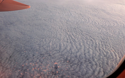
clouds aerial aerialphotography altocumulus clouddeck
Marbled Paper