Elevation of County Rte 24, Chateaugay, NY, USA
Location: United States > New York > Franklin County > Bellmont >
Longitude: -74.0349955
Latitude: 44.8577179
Elevation: 410m / 1345feet
Barometric Pressure: 0KPa
Related Photos:
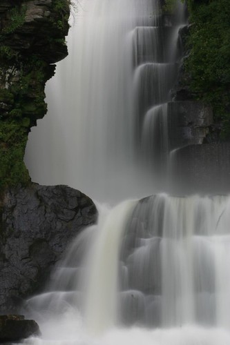
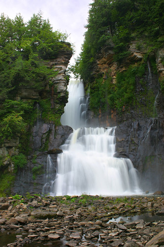
High Falls

Just outside Malone, N.Y.
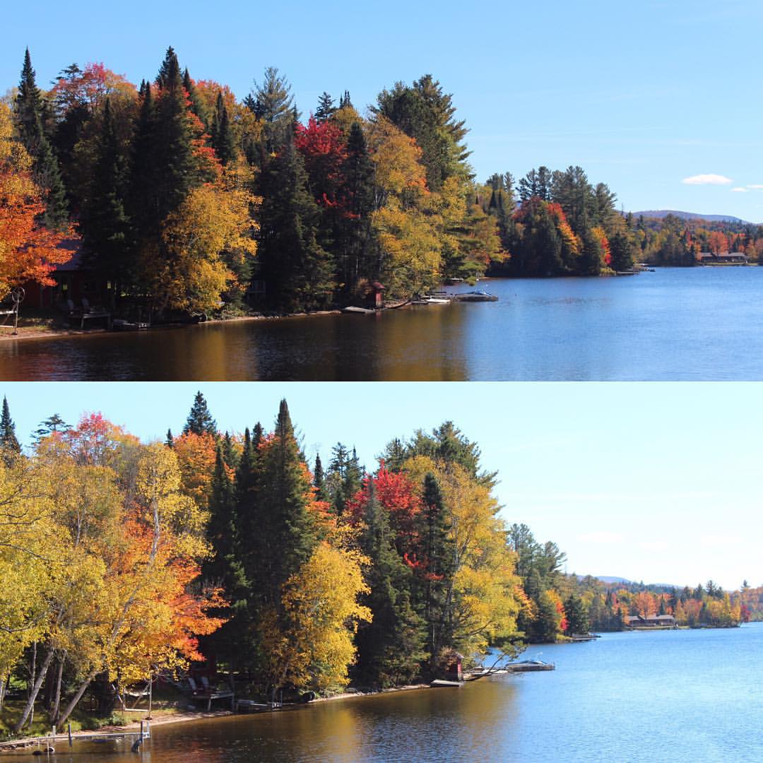
Fading beauty

Home.
#AutumnLove #beautiful #NNY #NNYLove
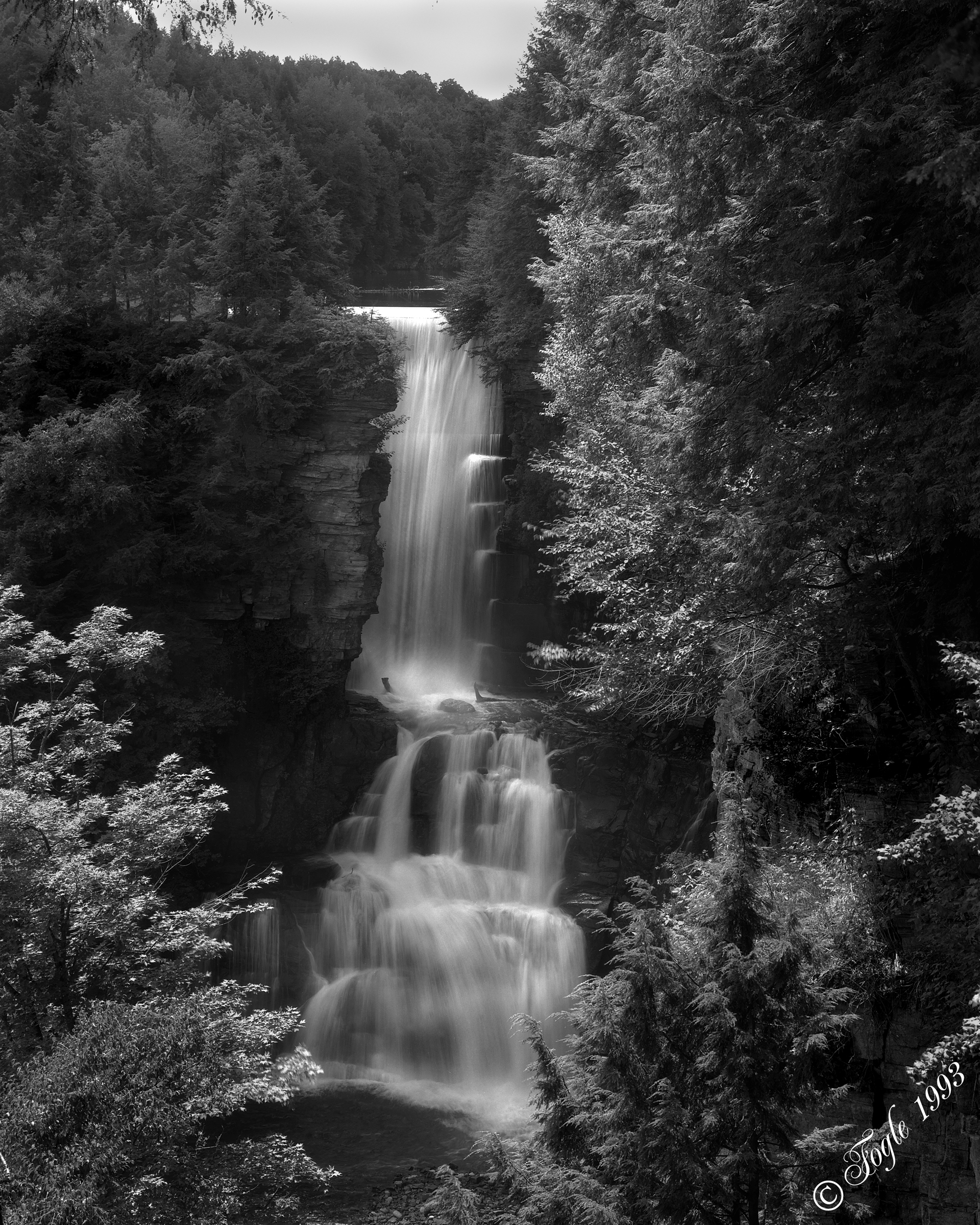
High Falls

2013-08-02 18.37.30
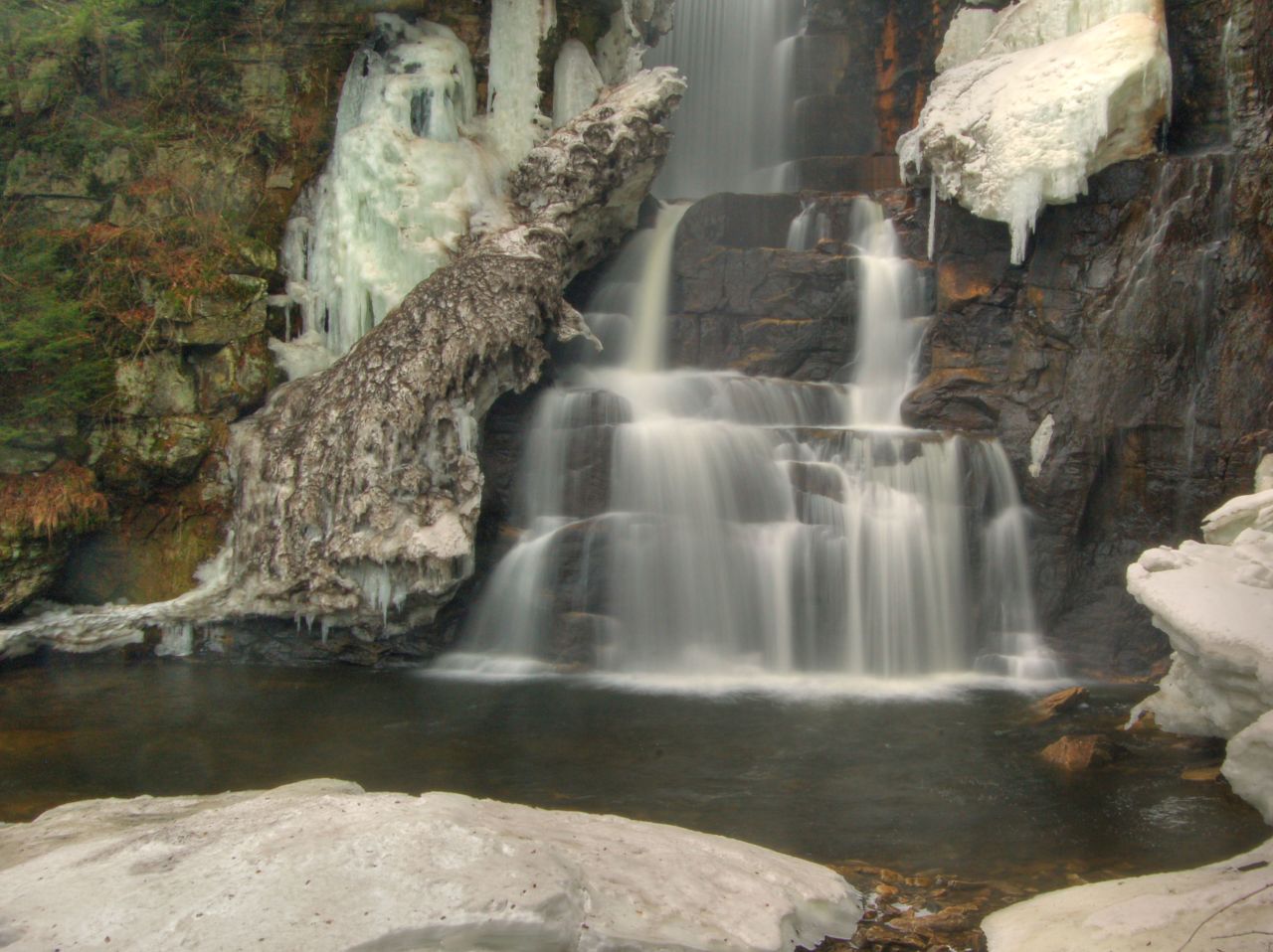
High Falls

Upstate New York

Upstate New York

dsc_8098.jpg

Turbines and a Cornfield
Topographic Map of County Rte 24, Chateaugay, NY, USA
Find elevation by address:

Places near County Rte 24, Chateaugay, NY, USA:
544 Spear Hill Rd
145 Legacy Rd
7960 Star Rd
Chateaugay
5257 Ny-374
Chateaugay
1350 County Rte 24
Bellmont Center
1400 Malone Chat Rd
1 Bluff PT, Ellenburg, NY, USA
Merrill
US-11, Burke, NY, USA
Bellmont
Ellenburg
County Route 23
Ellenburg Center
526 Sunset Rd
Burke
5263 Us-11
94 Tex Ln
Recent Searches:
- Elevation of 24, Auburn Bay Crescent SE, Auburn Bay, Calgary, Alberta, T3M 0A6, Canada
- Elevation of Denver, 2314, Arapahoe Street, Five Points, Denver, Colorado, 80205, USA
- Elevation of Community of the Beatitudes, 2924, West 43rd Avenue, Sunnyside, Denver, Colorado, 80211, USA
- Elevation map of Litang County, Sichuan, China
- Elevation map of Madoi County, Qinghai, China
- Elevation of 3314, Ohio State Route 114, Payne, Paulding County, Ohio, 45880, USA
- Elevation of Sarahills Drive, Saratoga, Santa Clara County, California, 95070, USA
- Elevation of Town of Bombay, Franklin County, New York, USA
- Elevation of 9, Convent Lane, Center Moriches, Suffolk County, New York, 11934, USA
- Elevation of Saint Angelas Convent, 9, Convent Lane, Center Moriches, Suffolk County, New York, 11934, USA
- Elevation of 131st Street Southwest, Mukilteo, Snohomish County, Washington, 98275, USA
- Elevation of 304, Harrison Road, Naples, Cumberland County, Maine, 04055, USA
- Elevation of 2362, Timber Ridge Road, Harrisburg, Cabarrus County, North Carolina, 28075, USA
- Elevation of Ridge Road, Marshalltown, Marshall County, Iowa, 50158, USA
- Elevation of 2459, Misty Shadows Drive, Pigeon Forge, Sevier County, Tennessee, 37862, USA
- Elevation of 8043, Brightwater Way, Spring Hill, Williamson County, Tennessee, 37179, USA
- Elevation of Starkweather Road, San Luis, Costilla County, Colorado, 81152, USA
- Elevation of 5277, Woodside Drive, Baton Rouge, East Baton Rouge Parish, Louisiana, 70808, USA
- Elevation of 1139, Curtin Street, Shepherd Park Plaza, Houston, Harris County, Texas, 77018, USA
- Elevation of 136, Sellers Lane, Repton, Monroe County, Alabama, 36475, USA