Elevation of County Road West, County Rd W, Nebraska, USA
Location: United States > Nebraska > Saunders County >
Longitude: -96.697386
Latitude: 41.3797809
Elevation: 399m / 1309feet
Barometric Pressure: 97KPa
Elevation Map:
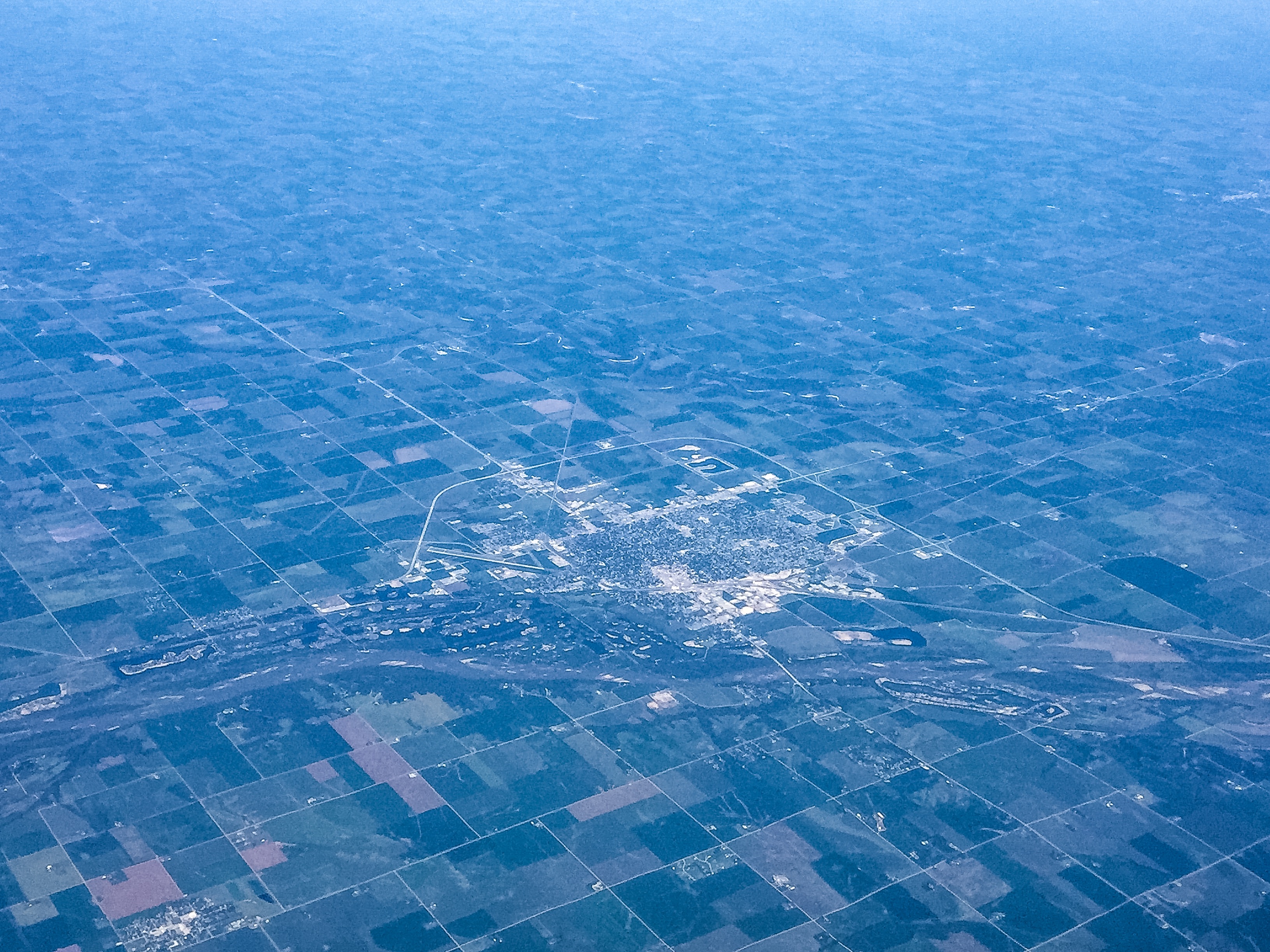
Satellite Map:
Related Photos:

UP 844 - Ames NE
Fremont, Nebraska - Platte River

End of the day in #Nebraska. #whereintheworldisdean #explorewithdean #ruralamerica #trees #travel #instacool #instaphoto #picoftheday #photography #amazing #america #adventure #allshots_ #sunsets #fun #followme #grass #hope #learning #cool #clouds #beauty
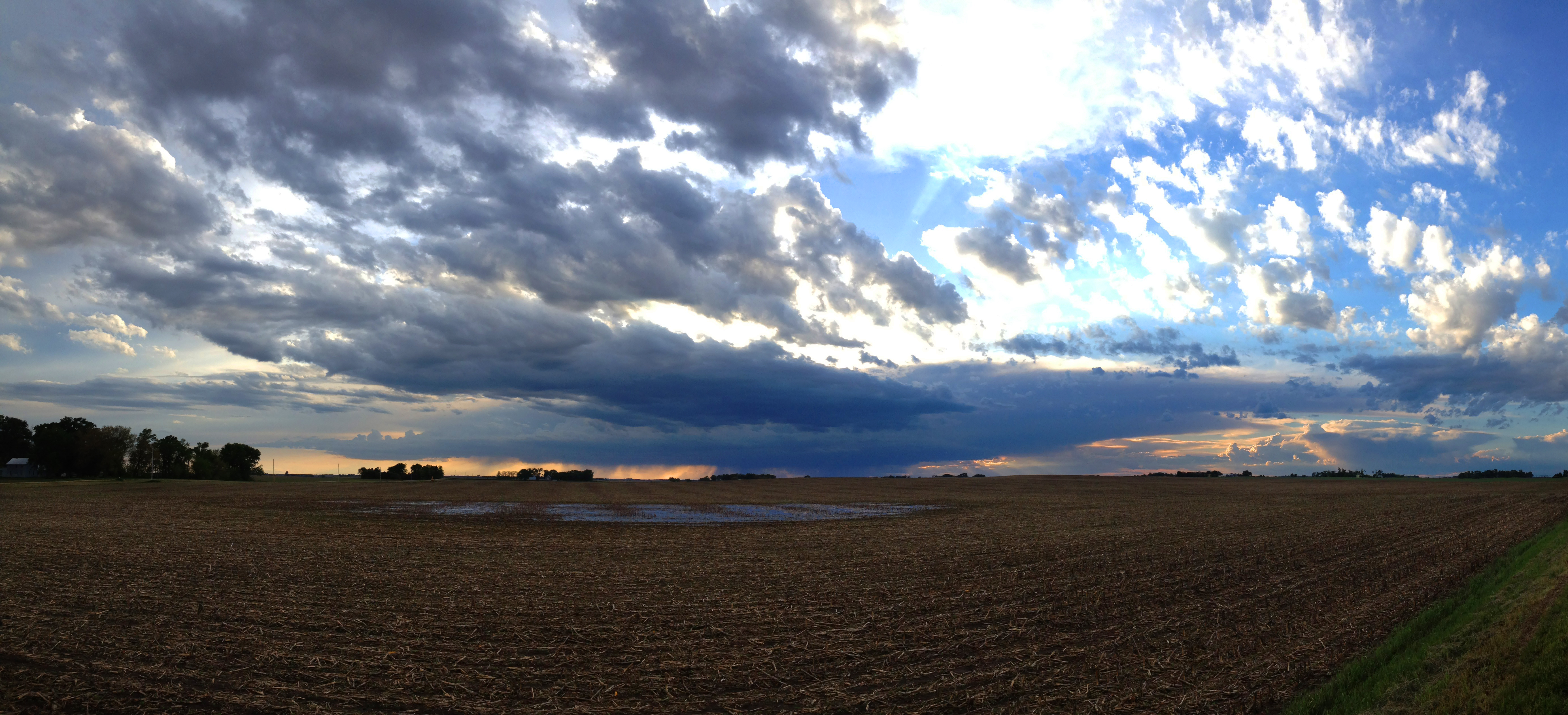
Farmland Cloudscape
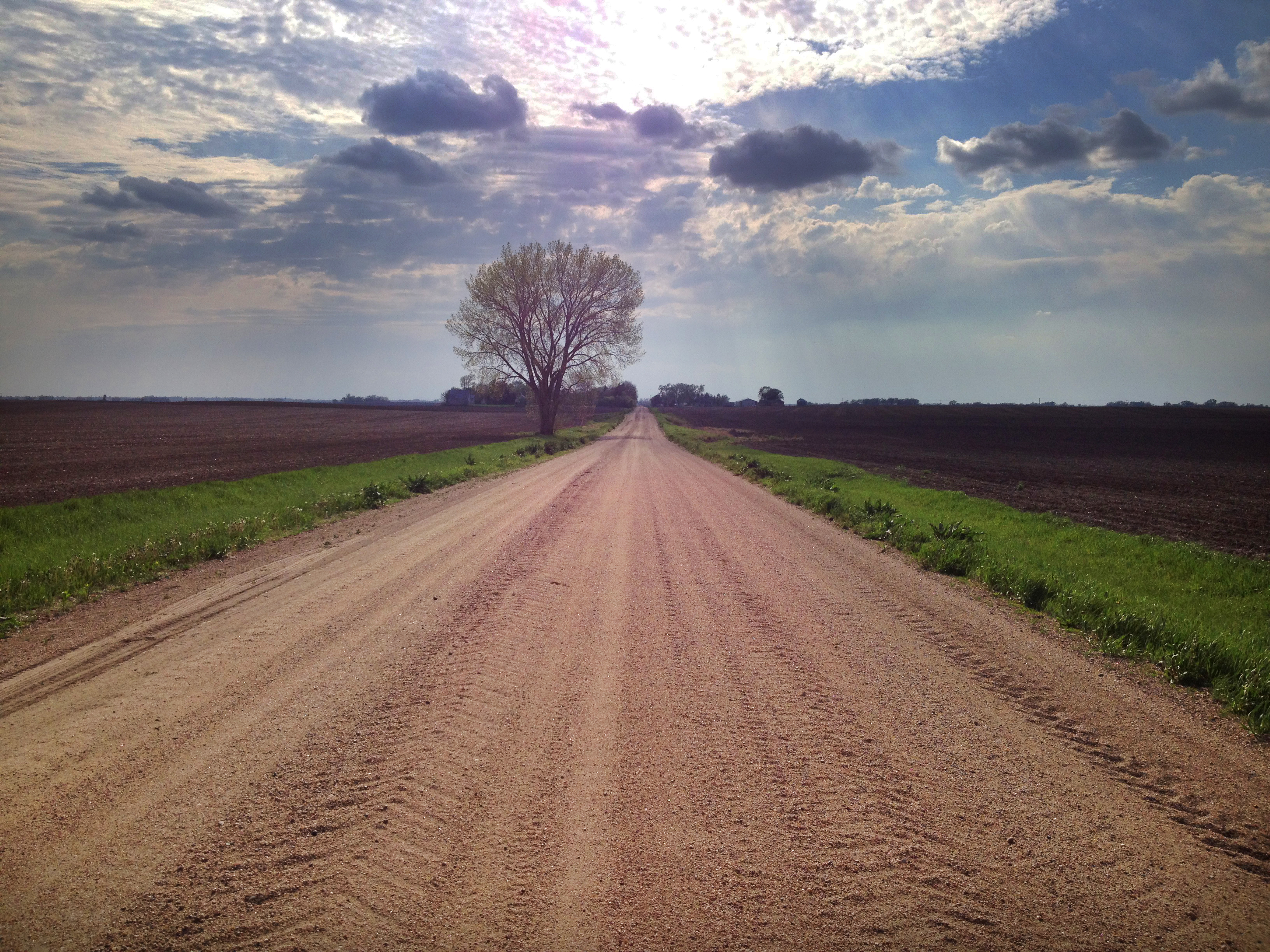
Spring Tree

Public School - Colon, NE

Fremont Lakes NE

Nebraska Lake
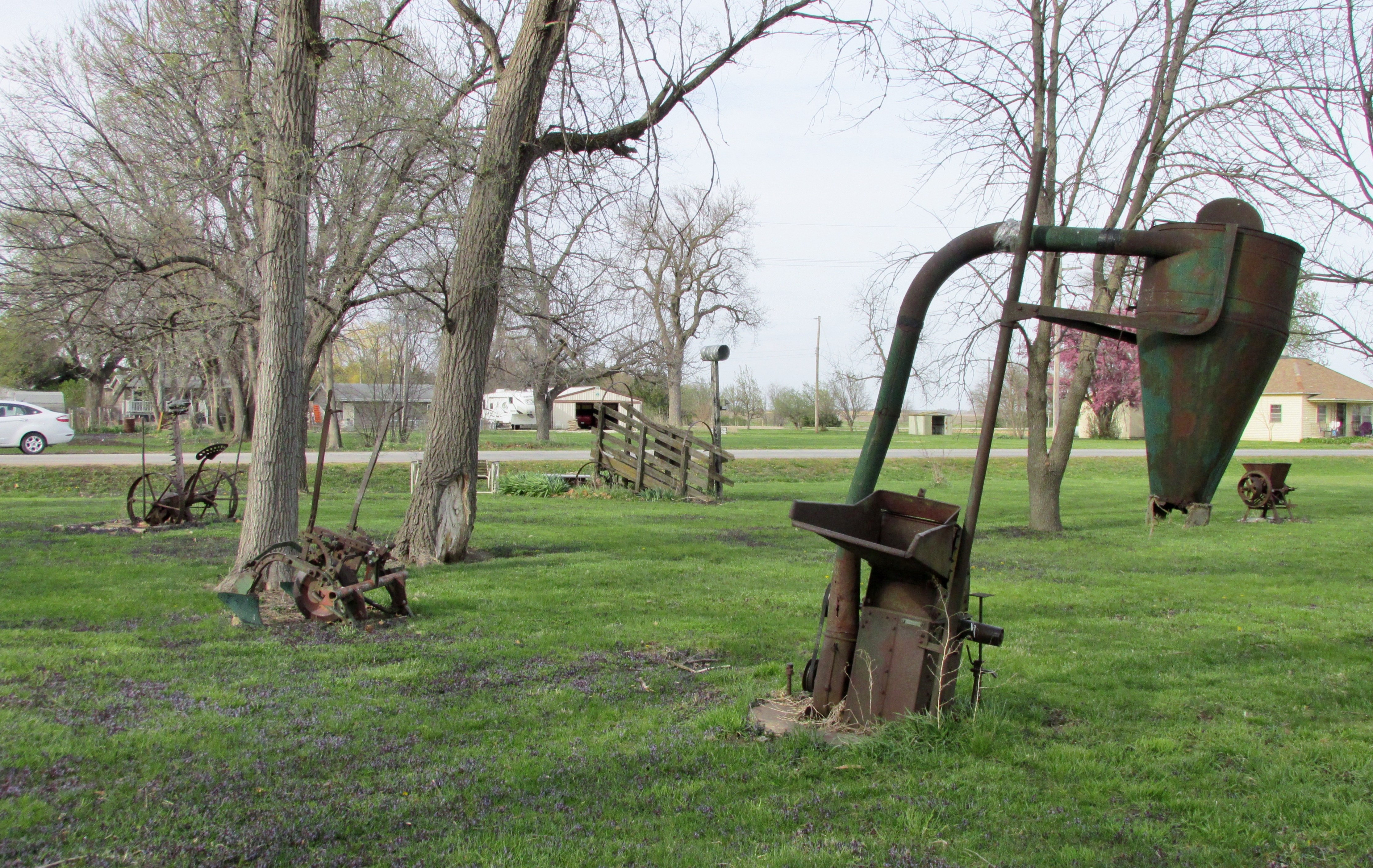
Colon, Nebraska - Art in the Park?
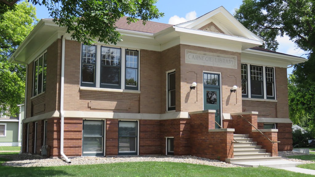
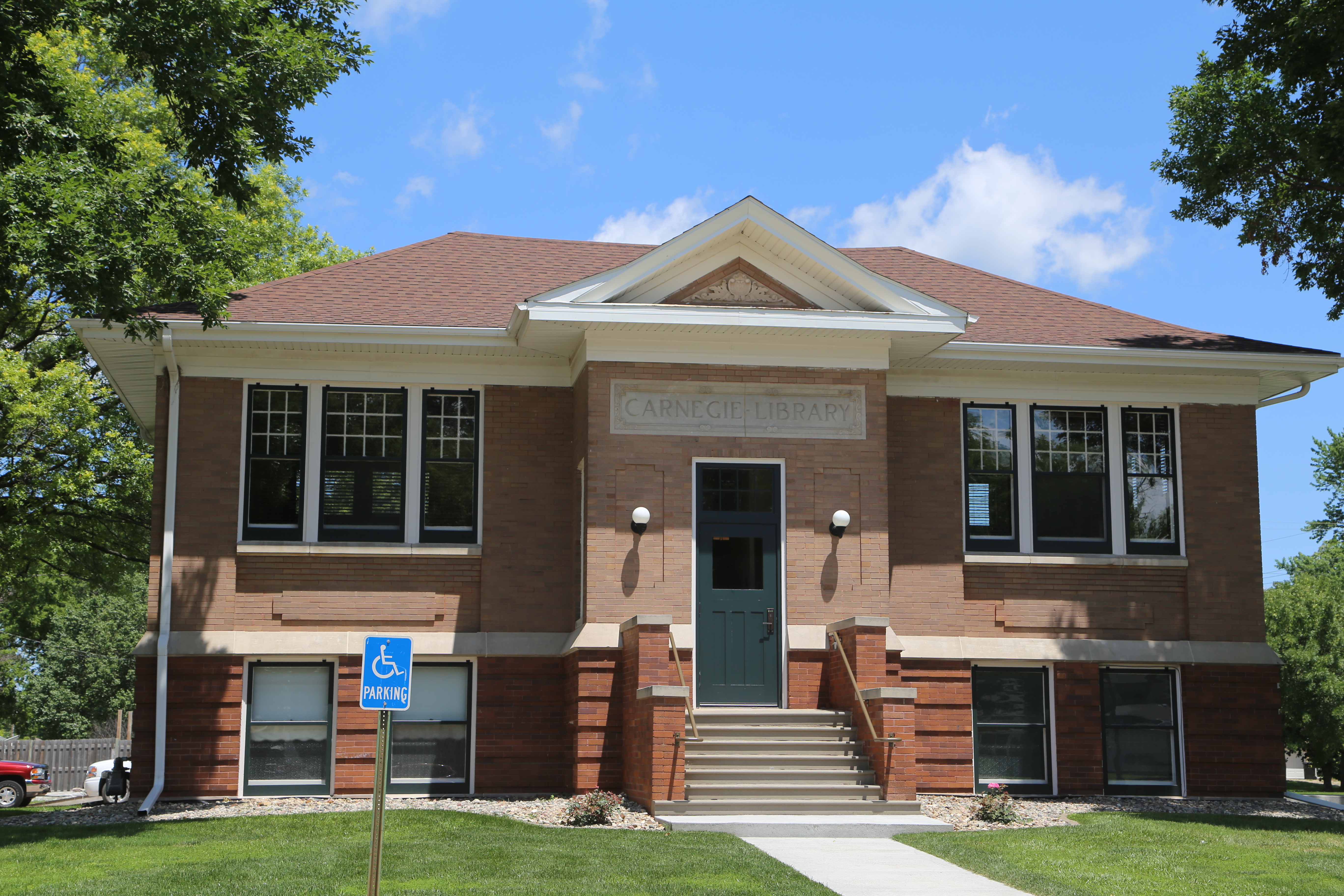
Carnegie Library (North Bend, Nebraska)
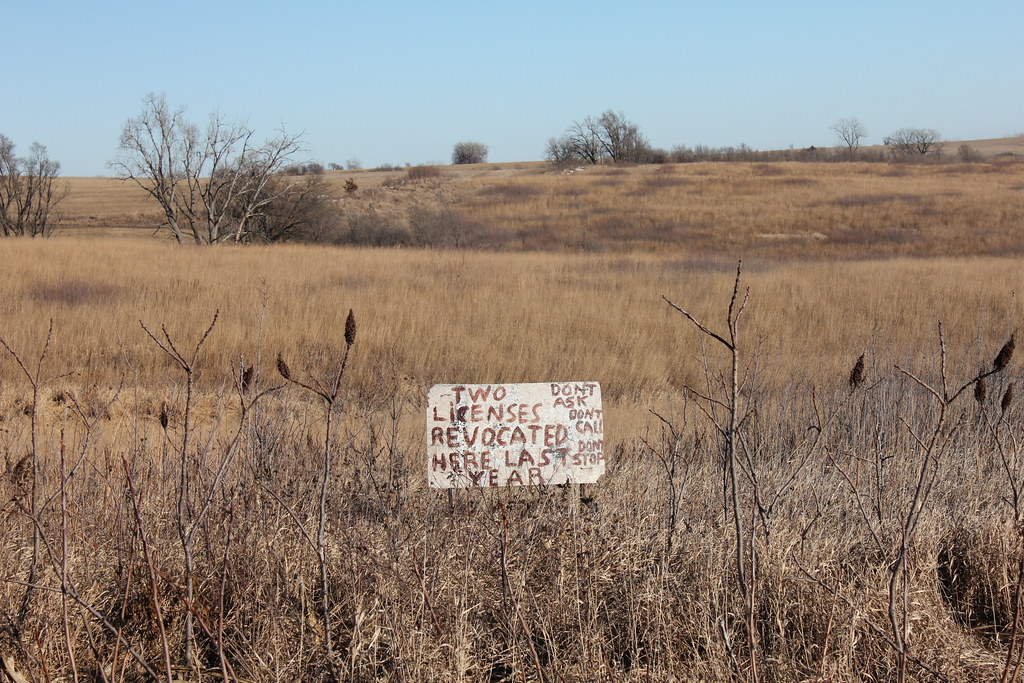
License Revocation Stop - rural Prague, NE
North Bend Nebraska, Lincoln Highway, Dodge County NE
Topographic Map of County Road West, County Rd W, Nebraska, USA
Find elevation by address:

Places near County Road West, County Rd W, Nebraska, USA:
Morse Bluff
Road R
230 Kate St
2nd St, Morse Bluff, NE, USA
Morse Bluff
130 Ann St
Ames
County Rd 15 Blvd, Ames, NE, USA
740 E 7th St
610 E 6th St
Center Ave, Malmo, NE, USA
North Bend
140 E 8th St
Center
Colon
530 W 13th St
Prague
30 Elba St, Prague, NE, USA
Platte
Highway 30
Recent Searches:
- Elevation of Corso Fratelli Cairoli, 35, Macerata MC, Italy
- Elevation of Tallevast Rd, Sarasota, FL, USA
- Elevation of 4th St E, Sonoma, CA, USA
- Elevation of Black Hollow Rd, Pennsdale, PA, USA
- Elevation of Oakland Ave, Williamsport, PA, USA
- Elevation of Pedrógão Grande, Portugal
- Elevation of Klee Dr, Martinsburg, WV, USA
- Elevation of Via Roma, Pieranica CR, Italy
- Elevation of Tavkvetili Mountain, Georgia
- Elevation of Hartfords Bluff Cir, Mt Pleasant, SC, USA