Elevation of County Road, County Rd, Arizona, USA
Location: United States > Arizona > Apache County > Concho >
Longitude: -109.71827
Latitude: 34.5212946
Elevation: 1726m / 5663feet
Barometric Pressure: 82KPa
Elevation Map:
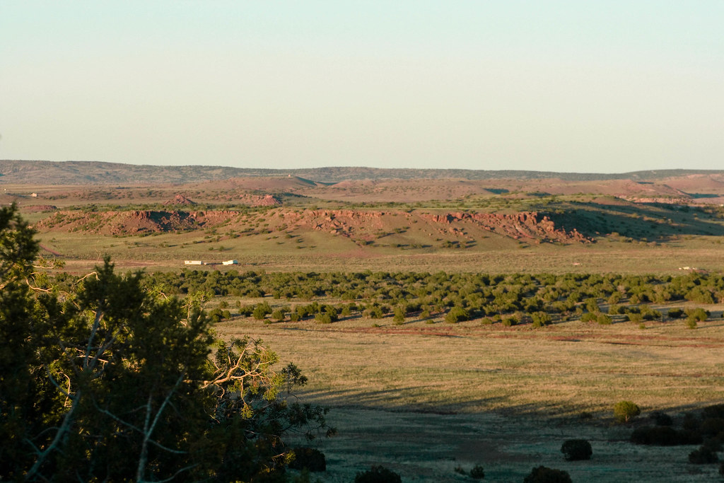
Satellite Map:
Related Photos:

View from the ranch

IMG_0930-sm.jpg

IMG_0929-sm.jpg

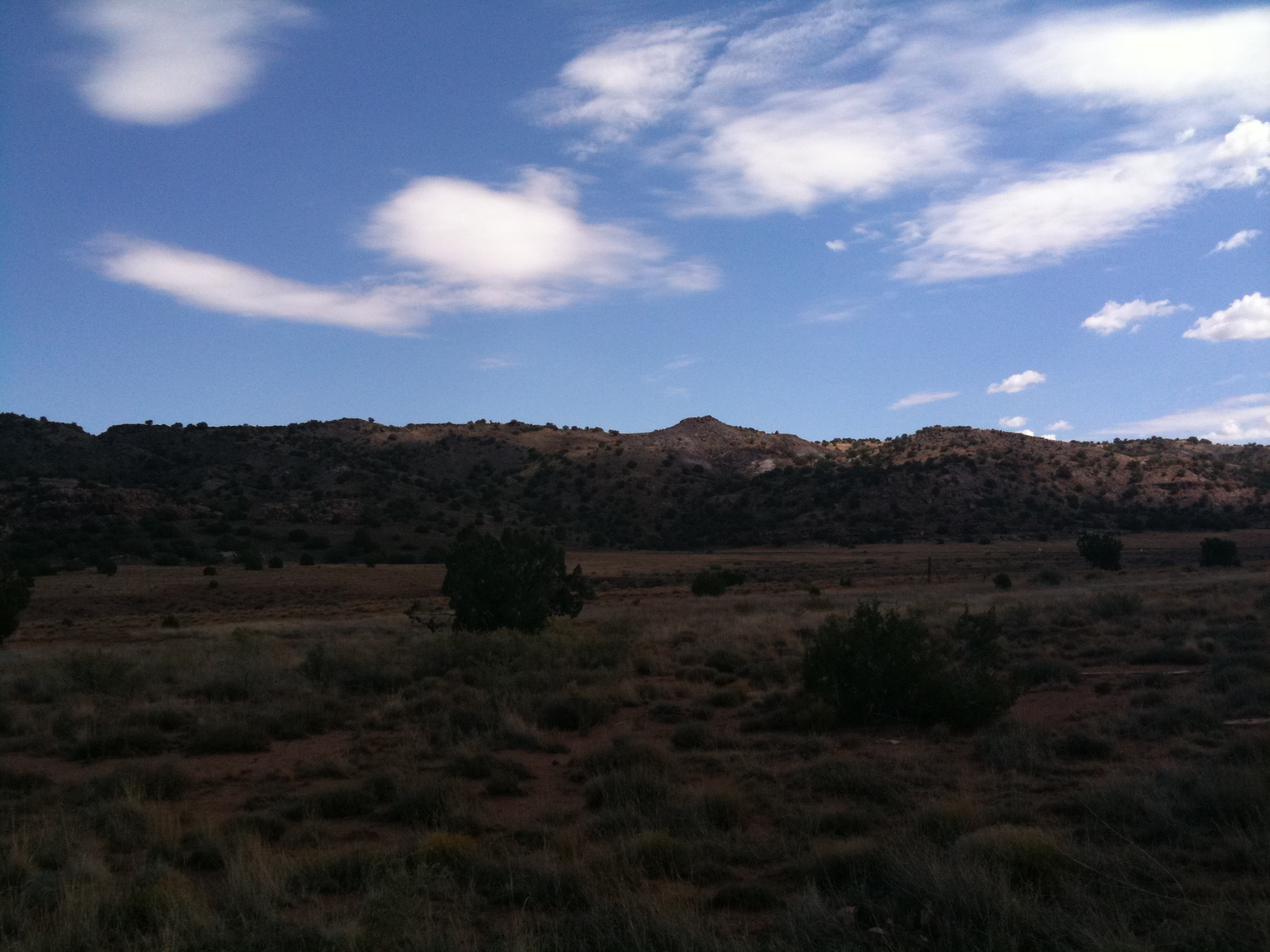
The view
The view 4

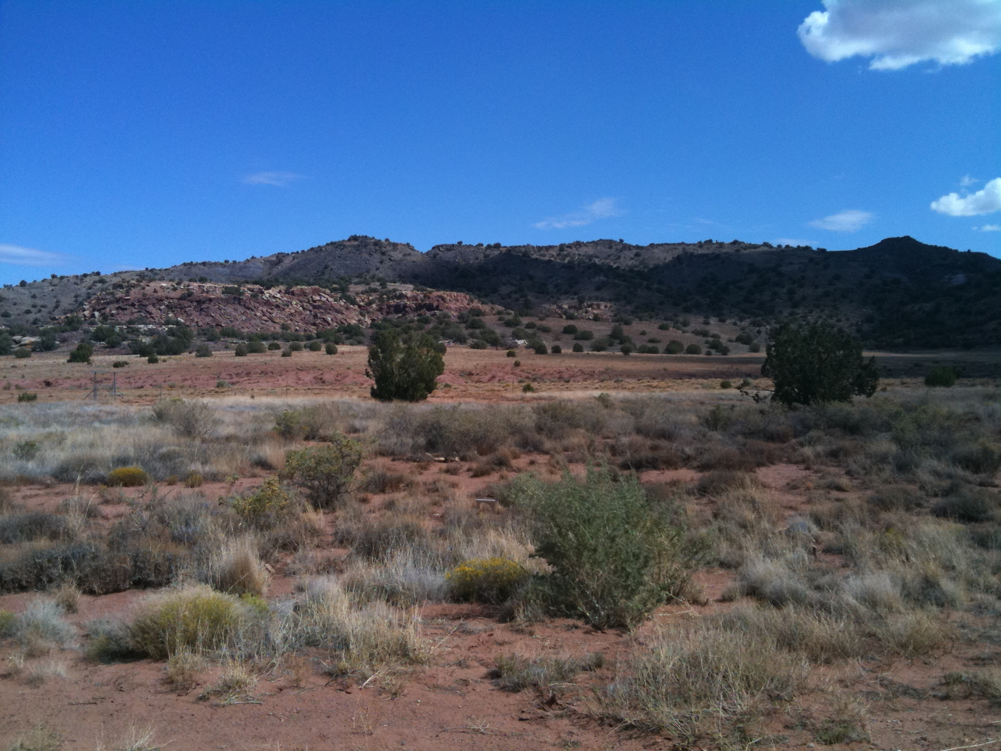
The view 2
The view 3

County Route 5020 Between State Route 61 and Snowflake, Arizona

Arizona State Route 61 Between St. Johns and Concho, Arizona 6

Arizona State Route 61 Between St. Johns and Concho, Arizona 3

Arizona State Route 61 Between St. Johns and Concho, Arizona 5
Arizona State Route 61 Between St. Johns and Concho, Arizona 4

"Old Man Cedar " #CoffeeKen #JavaJourney2014 #adventuretoanywhere #environmentaz #arizonahighways #wildernessquest #mountainquest #travelphoto #bali_wanderlust #visitmesa #outdoors #traveltreasures #wanderlust

Comin' 'round the mountain
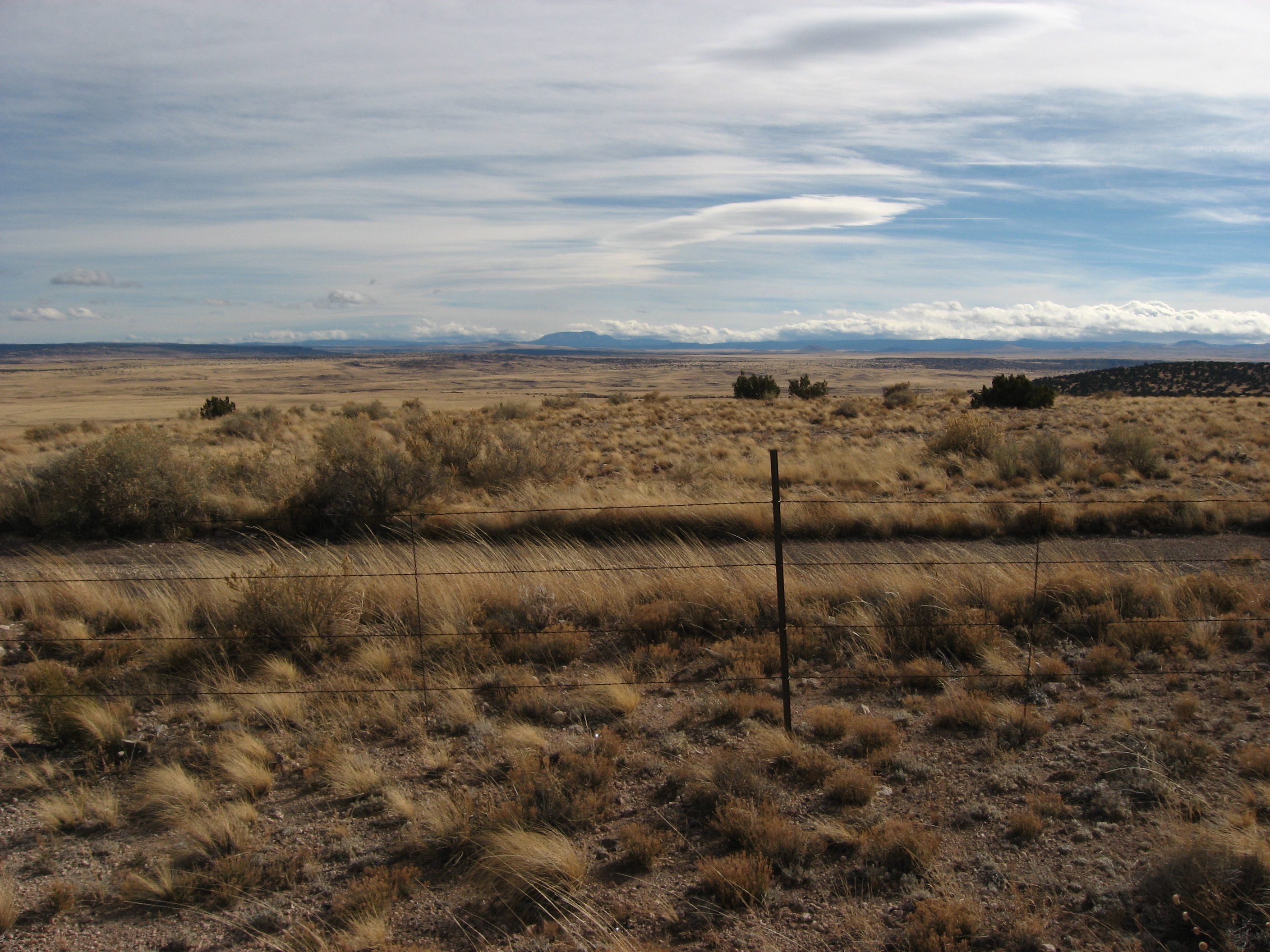
Long afternoon in the high desert
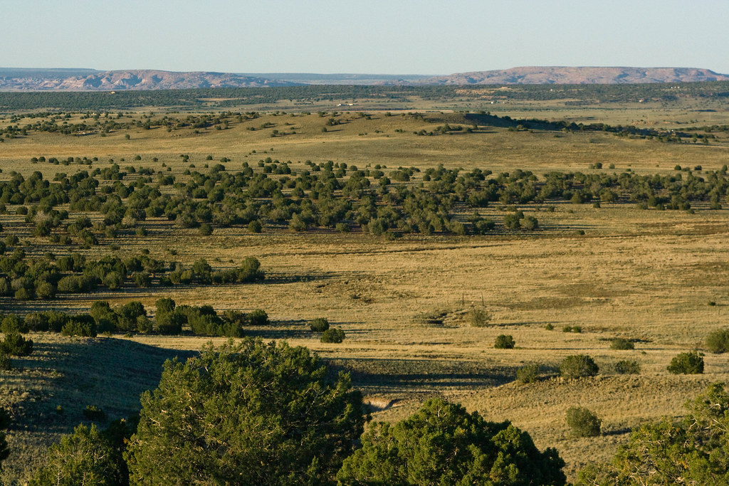
This is Arizona

Rainbow in the gloom.

Ranch Storm

BettyJoon on the lookout

IMG_0933-sm.jpg

Vulcan Ridge

Lavender Festival
Topographic Map of County Road, County Rd, Arizona, USA
Find elevation by address:

Places near County Road, County Rd, Arizona, USA:
County Road
Sth Ranch
County Road 9071
4241 Colt Rd
County Road 8030
9700 Willis Hill Trail
San Carlos Road
1937 Lone Star Rd
1937 Lone Star Rd
71 Cr N8158
3885 Dusty Rd
38 Co Rd 3314
35775 Us-60
Vernon, AZ, USA
Vernon
County Road North
3139 County Rd 3139
3139 County Rd 3139
3069 The Lords Way
2356 Laguna Rd
Recent Searches:
- Elevation of Corso Fratelli Cairoli, 35, Macerata MC, Italy
- Elevation of Tallevast Rd, Sarasota, FL, USA
- Elevation of 4th St E, Sonoma, CA, USA
- Elevation of Black Hollow Rd, Pennsdale, PA, USA
- Elevation of Oakland Ave, Williamsport, PA, USA
- Elevation of Pedrógão Grande, Portugal
- Elevation of Klee Dr, Martinsburg, WV, USA
- Elevation of Via Roma, Pieranica CR, Italy
- Elevation of Tavkvetili Mountain, Georgia
- Elevation of Hartfords Bluff Cir, Mt Pleasant, SC, USA