Elevation of County Road 48.8, County Rd 48.8, Aguilar, CO, USA
Location: United States > Colorado > Las Animas County > Aguilar >
Longitude: -104.85075
Latitude: 37.3451457
Elevation: 2366m / 7762feet
Barometric Pressure: 76KPa
Elevation Map:
Satellite Map:
Related Photos:
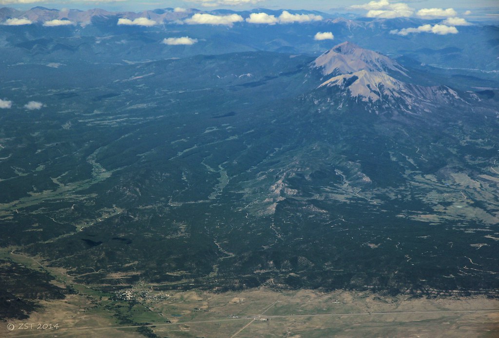
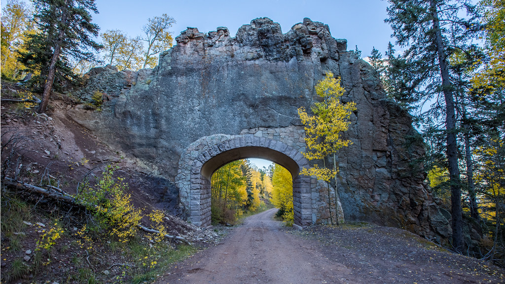
Aguilar & Spanish Peaks
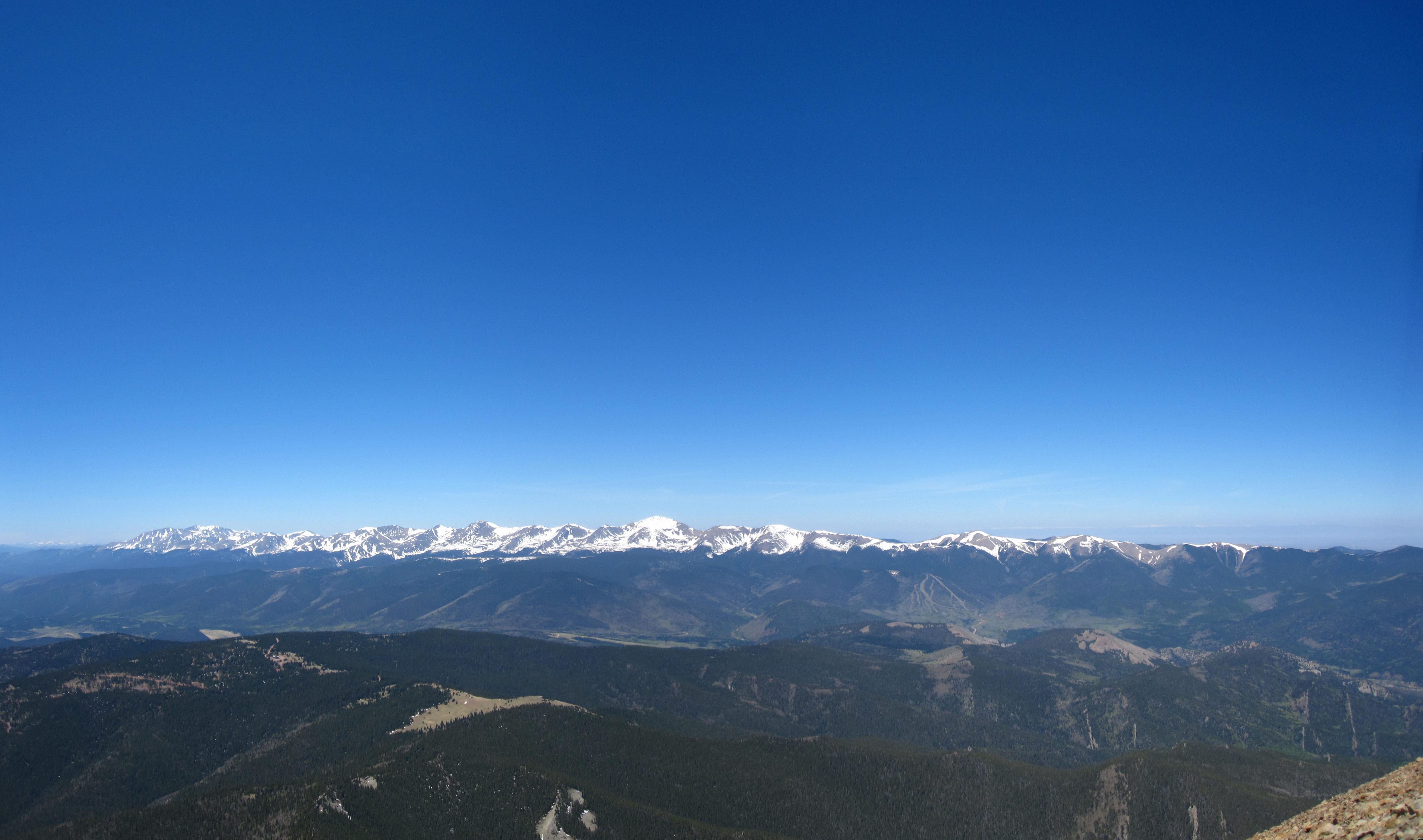
Sangre de Cristo Mountains
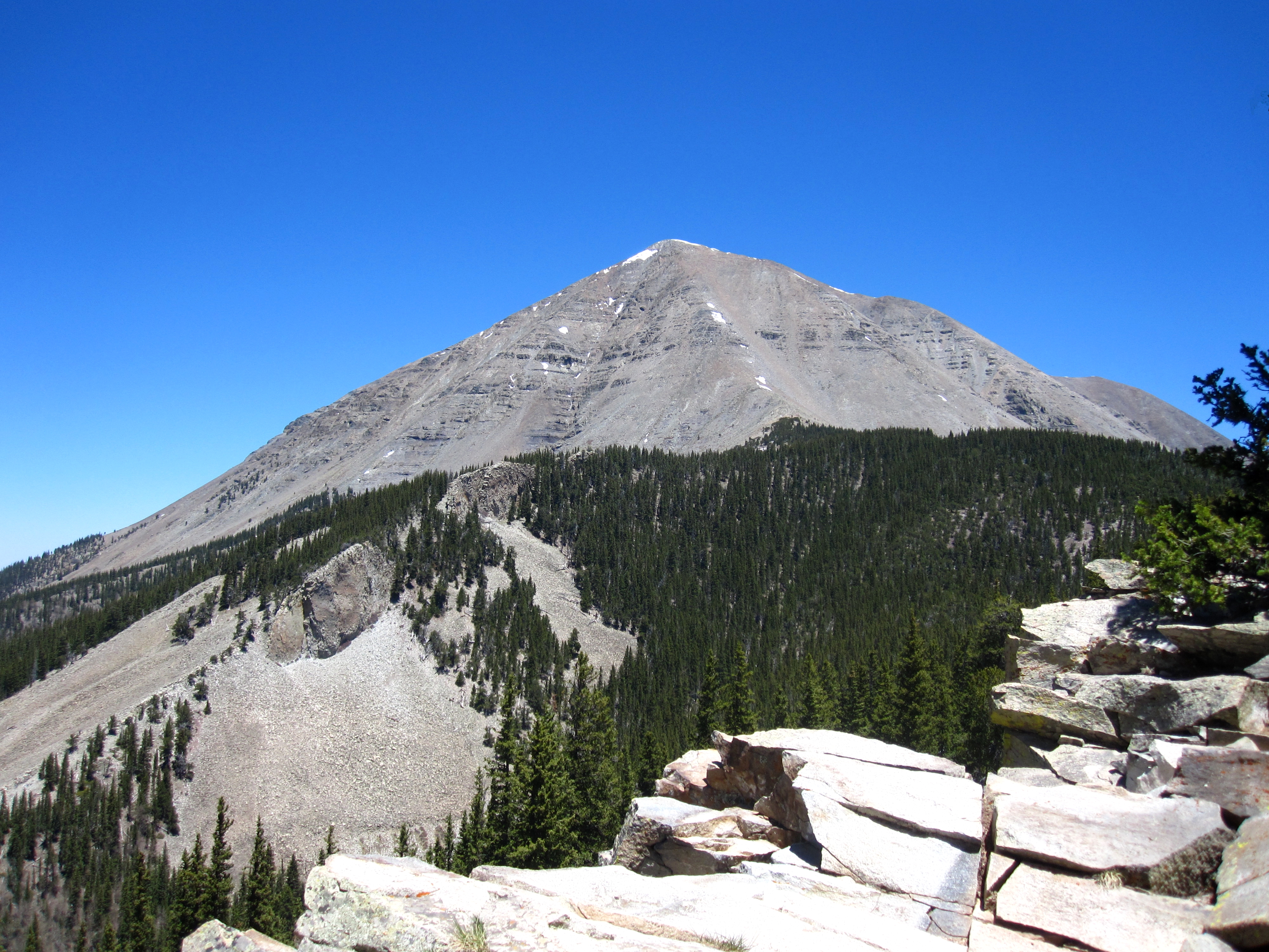
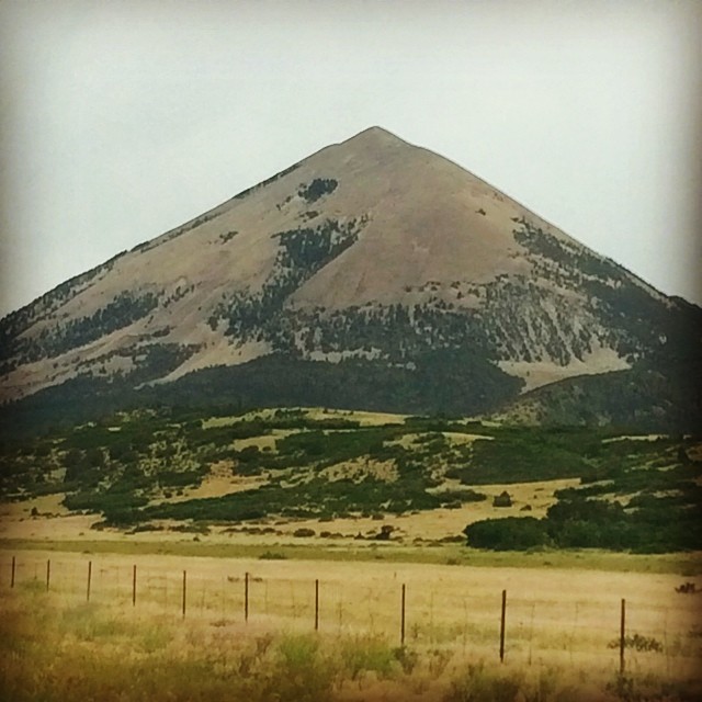
West Spanish Peak

Awesome view
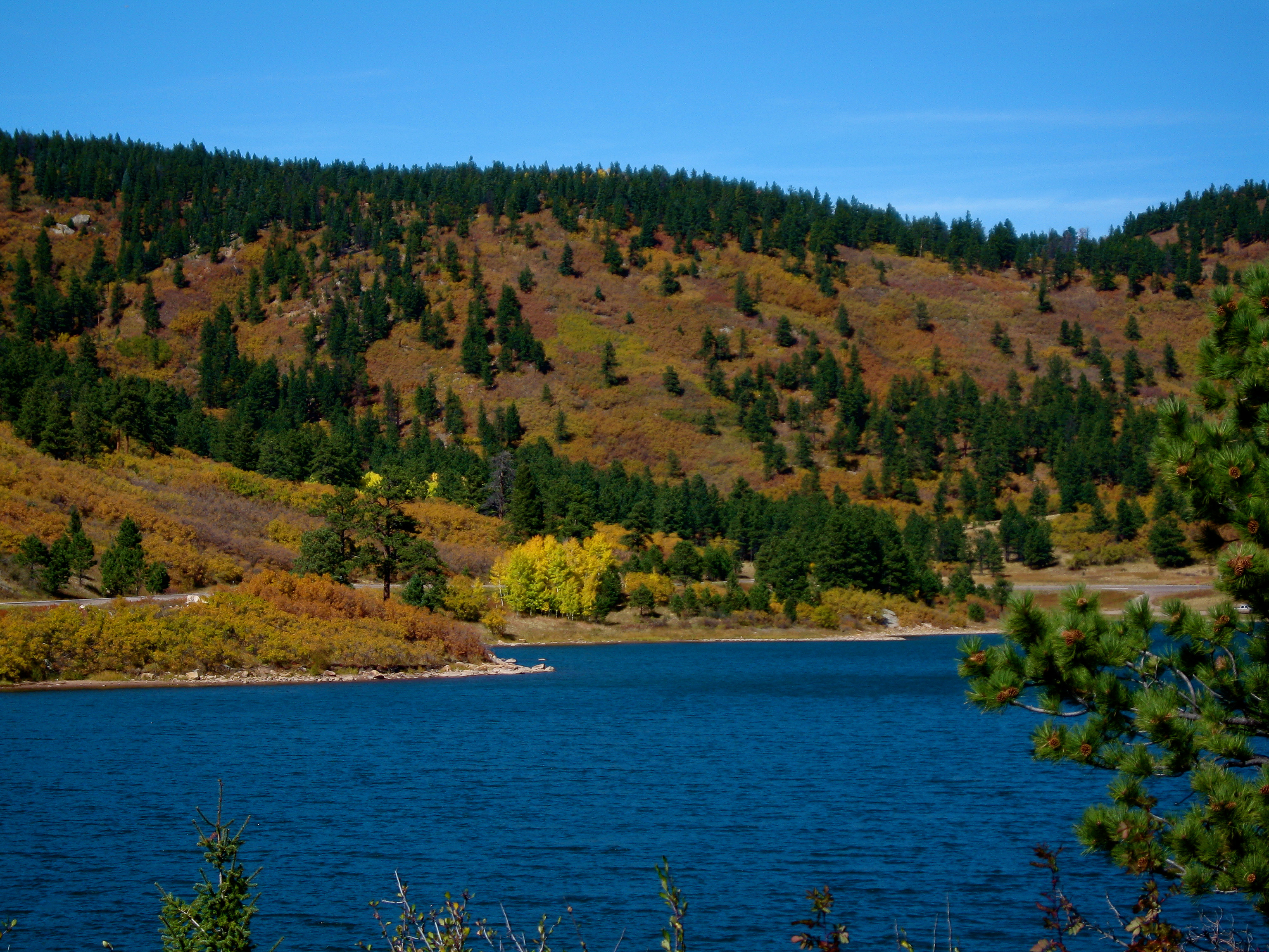
Another lake view
Yet another lake view

Nice View

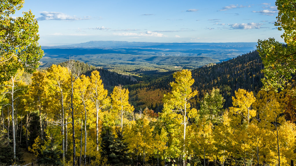
Spanish Peaks

West Peak at Dawn
Spanish Peaks
Spanish Peaks, CO

West Spanish Peak
Even more Sangres

Spanish Peaks
2016_10_01_9529-HDR.jpg
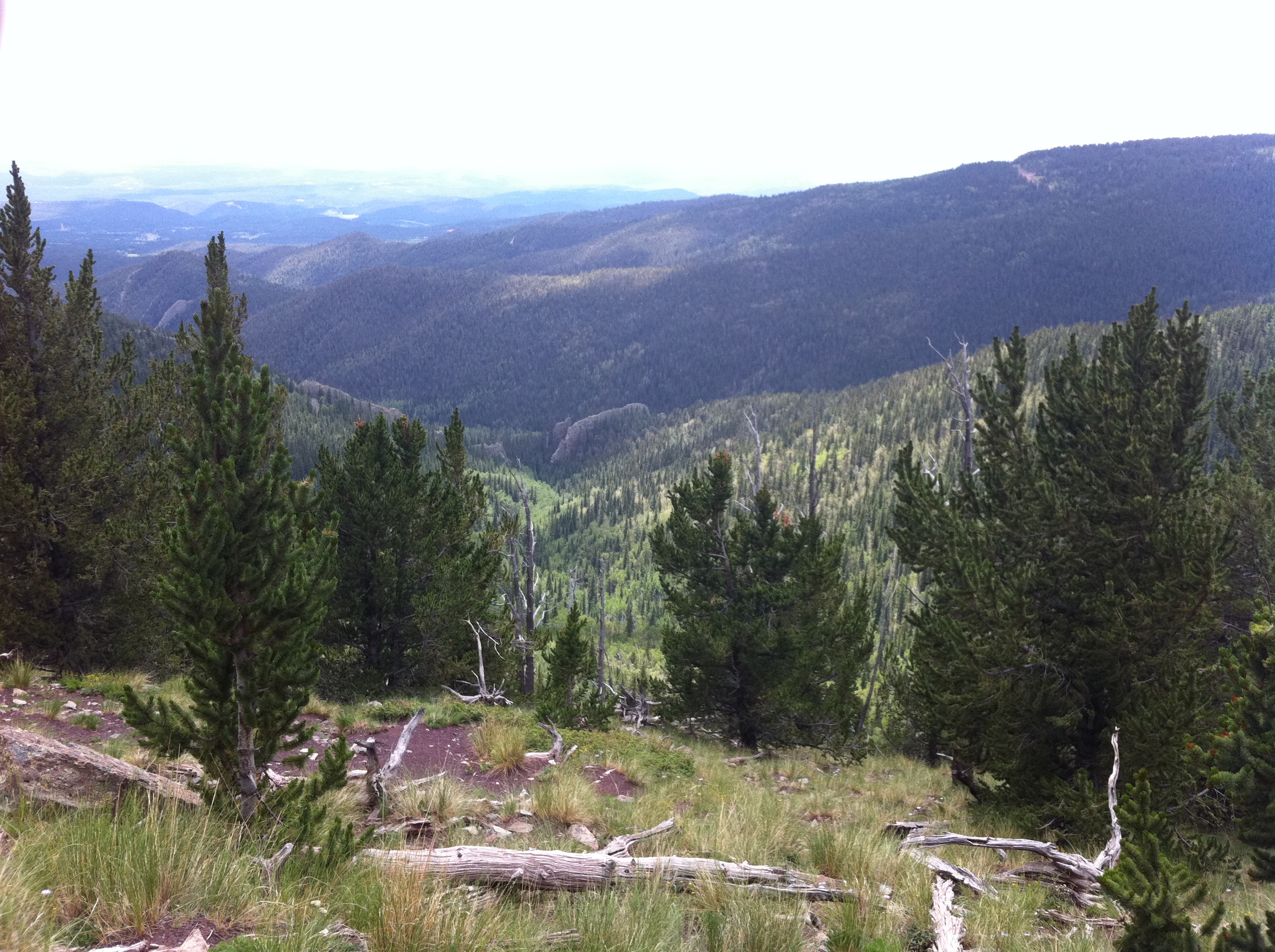
Forest as far as the eye can see
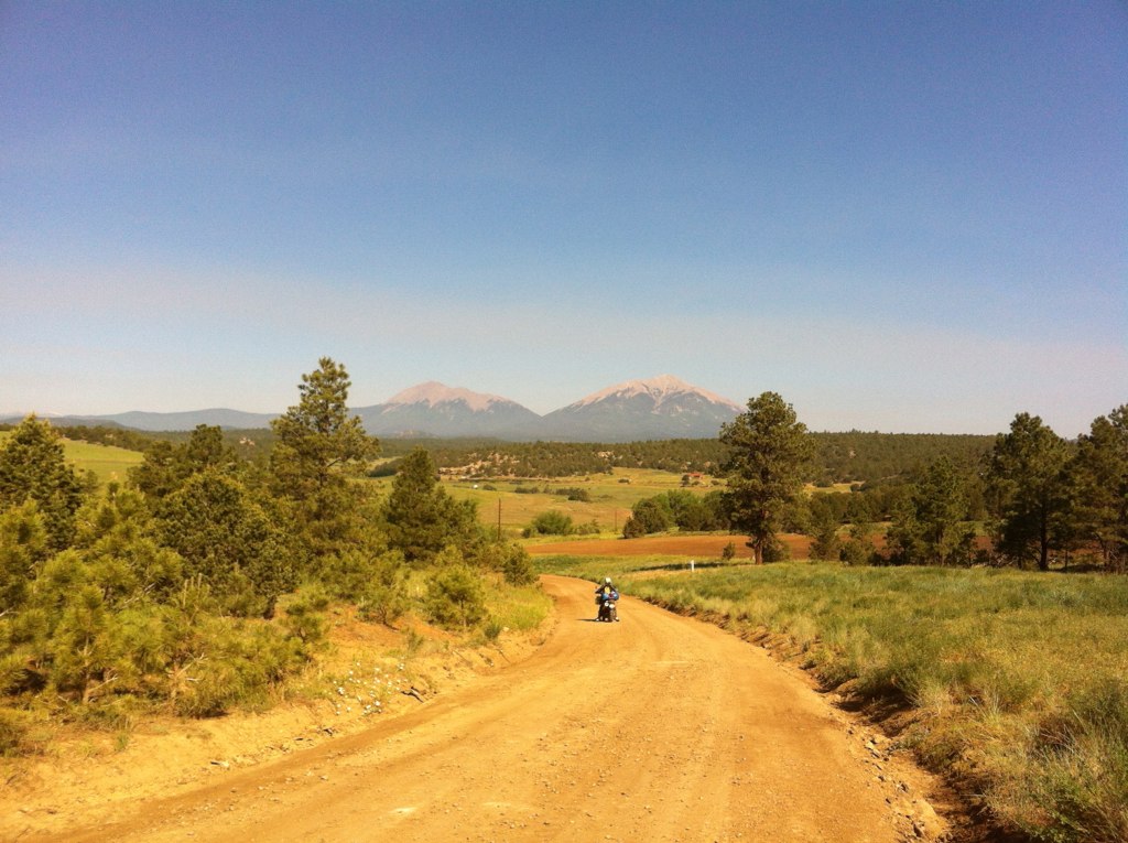
trans am trail CO
Dikes In The Valley
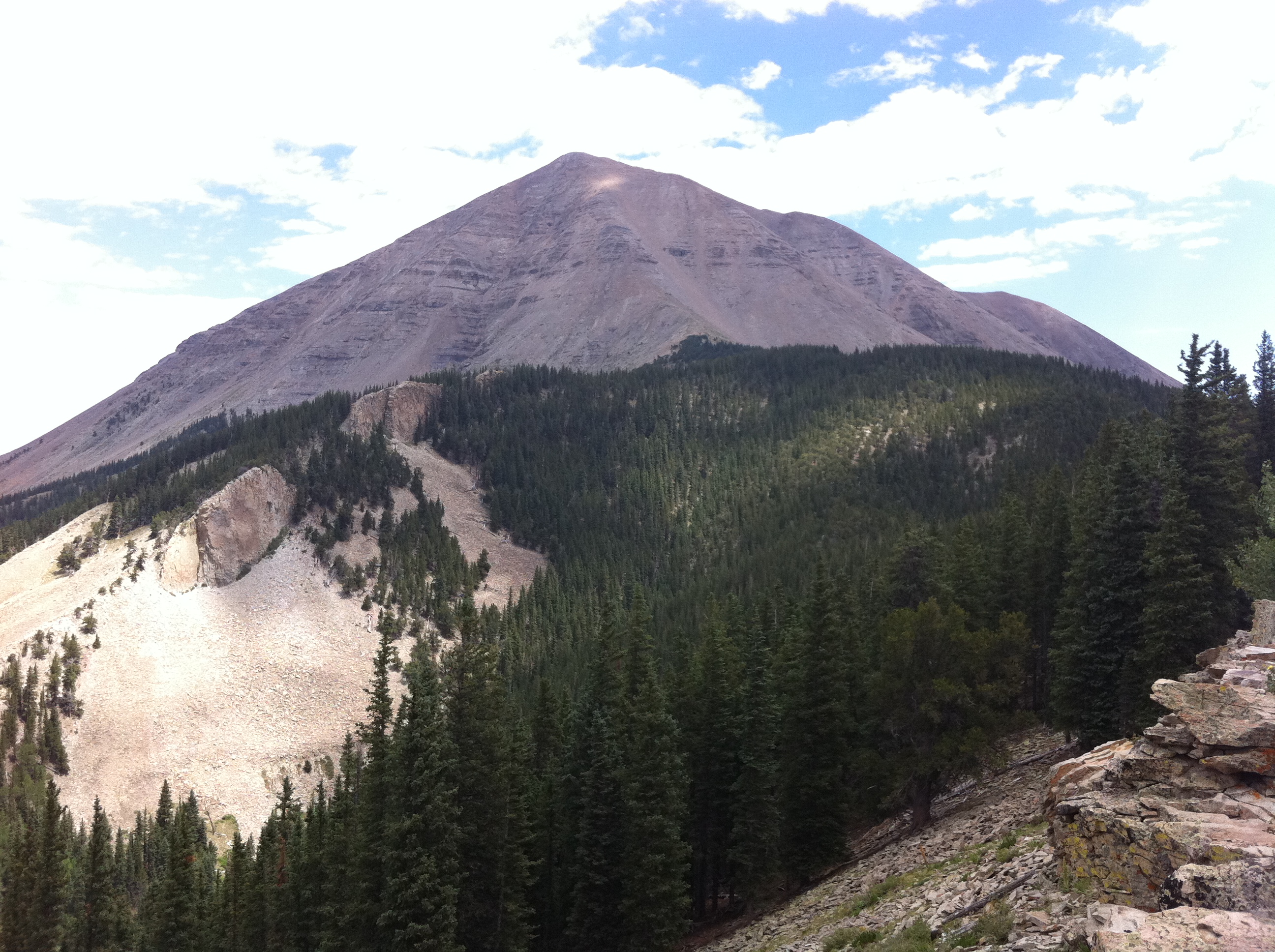
West Spanish Peak
Scenic Area
Topographic Map of County Road 48.8, County Rd 48.8, Aguilar, CO, USA
Find elevation by address:

Places near County Road 48.8, County Rd 48.8, Aguilar, CO, USA:
Aguilar, CO, USA
County Road 41.7
19901 County Rd 41.7
19901 County Rd 41.7
East Spanish Peak
Spanish Peaks Scout Ranch
Jewell Overlook
Jewell Overlook Road
Mount Massive Drive
23880 Co Rd 46
23880 Co Rd 46
23880 Co Rd 46
Dana Point Road
18908 County Rd 31.9
18908 County Rd 31.9
19558 Aspen Rose Dr
Colorado 12
Colorado 12
Colorado 12
5081 Co-12
Recent Searches:
- Elevation of Corso Fratelli Cairoli, 35, Macerata MC, Italy
- Elevation of Tallevast Rd, Sarasota, FL, USA
- Elevation of 4th St E, Sonoma, CA, USA
- Elevation of Black Hollow Rd, Pennsdale, PA, USA
- Elevation of Oakland Ave, Williamsport, PA, USA
- Elevation of Pedrógão Grande, Portugal
- Elevation of Klee Dr, Martinsburg, WV, USA
- Elevation of Via Roma, Pieranica CR, Italy
- Elevation of Tavkvetili Mountain, Georgia
- Elevation of Hartfords Bluff Cir, Mt Pleasant, SC, USA