Elevation of County Road .1, County Rd .1, La Veta, CO, USA
Location: United States > Colorado > La Veta >
Longitude: -105.05381
Latitude: 37.6388324
Elevation: 2243m / 7359feet
Barometric Pressure: 77KPa
Elevation Map:
Satellite Map:
Related Photos:

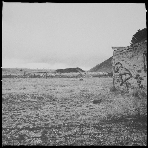
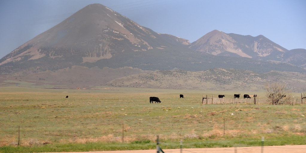
La Veta Pass, Colorado
The Wide View

Deer in the backyard

Depot View
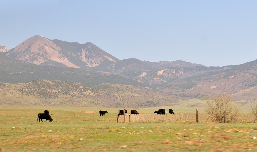
Mt Mestas, 11200 ft

Trinchera Peak from U.S. Highway 160
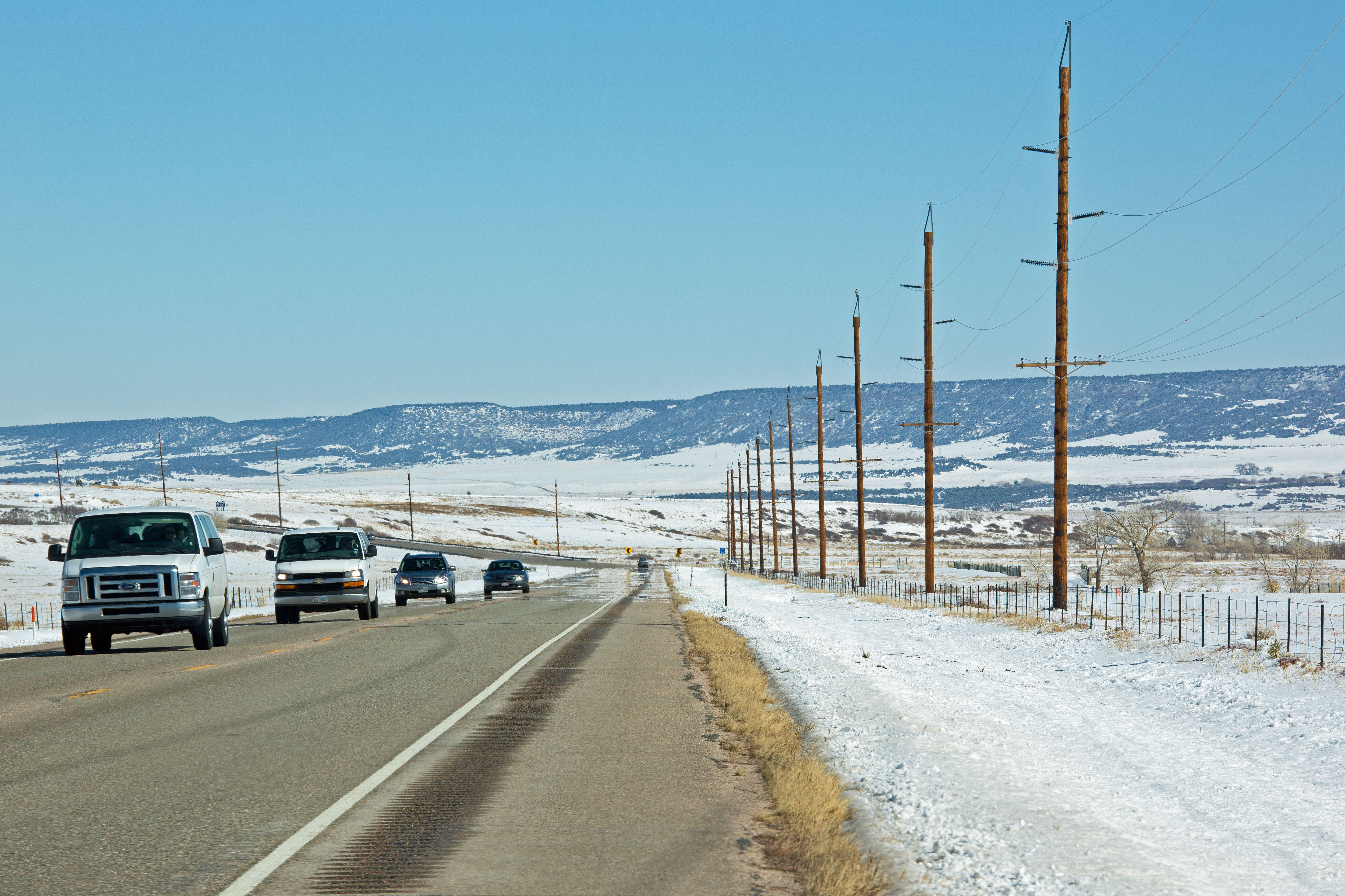
Route 160, Colorado
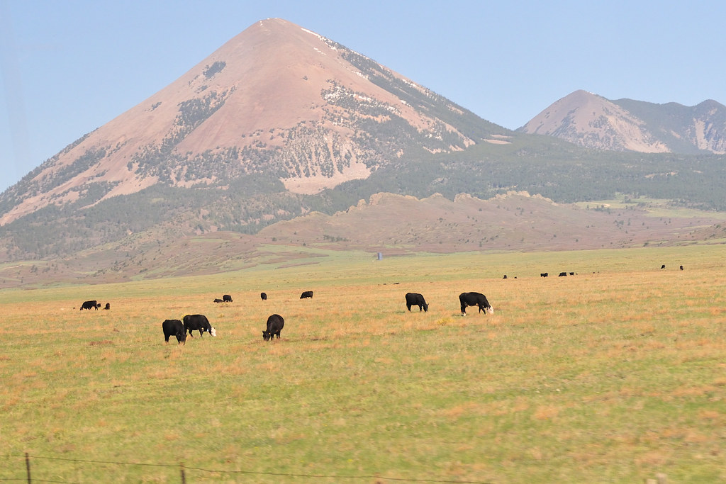
Mt Mestas, 11200 ft
Mt Mestas, 11200 ft
Topographic Map of County Road .1, County Rd .1, La Veta, CO, USA
Find elevation by address:

Places near County Road .1, County Rd .1, La Veta, CO, USA:
1491 Bear Springs Rd
Cedar Ridge Road
330 Cedar Ridge Rd
36225 Co Rd 520
510 Ketchum Road
1002 Majors Ranch Rd
3005 Co Rd 540
5387 Co Rd 521
20602 Co-69
635 County Rd 521.3
635 County Rd 521.3
635 County Rd 521.3
4158 Co Rd 504
4114 Co Rd 504
4114 Co Rd 504
CO-69, Walsenburg, CO, USA
334 Pico Del Esta
840 Calle La Sierra Blanca Dr
105 Los Vaqueros Cir
Co Rd, Walsenburg, CO, USA
Recent Searches:
- Elevation of Corso Fratelli Cairoli, 35, Macerata MC, Italy
- Elevation of Tallevast Rd, Sarasota, FL, USA
- Elevation of 4th St E, Sonoma, CA, USA
- Elevation of Black Hollow Rd, Pennsdale, PA, USA
- Elevation of Oakland Ave, Williamsport, PA, USA
- Elevation of Pedrógão Grande, Portugal
- Elevation of Klee Dr, Martinsburg, WV, USA
- Elevation of Via Roma, Pieranica CR, Italy
- Elevation of Tavkvetili Mountain, Georgia
- Elevation of Hartfords Bluff Cir, Mt Pleasant, SC, USA