Elevation of County Rd, Rosebud, TX, USA
Location: United States > Texas > Falls County > Rosebud >
Longitude: -96.859331
Latitude: 31.1328308
Elevation: 108m / 354feet
Barometric Pressure: 100KPa
Elevation Map:
Satellite Map:
Related Photos:

Falls County

Aggie Barn-1
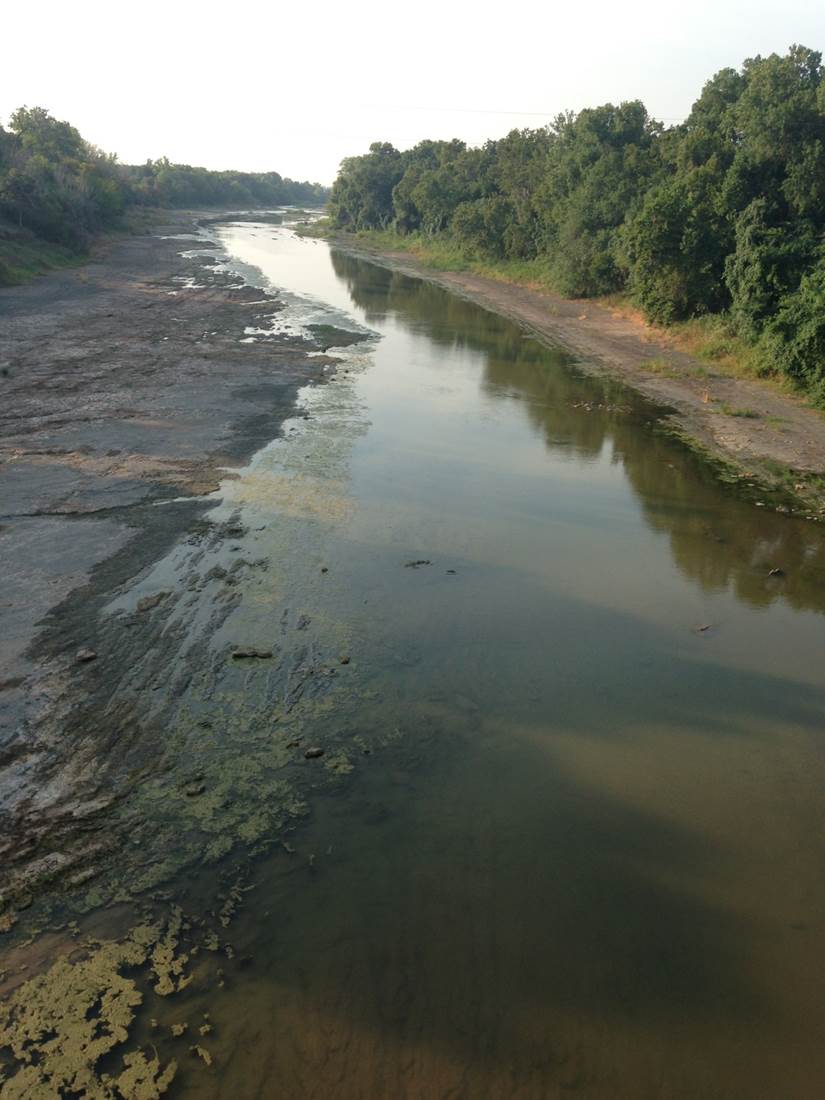
Brazos River in Falls County

Rosebud, TX VFD Retired Unit 1

Rosebud, TX VFD Retired Unit 1

Rosebud, TX VFD Retired Unit 1

Rosebud, TX VFD Retired Unit 1

Heck Yea!

A beautiful day for a drive through Reagan and Rosebud Texas

039/365 : Cafe

Busy few days post aggies win. #gigem
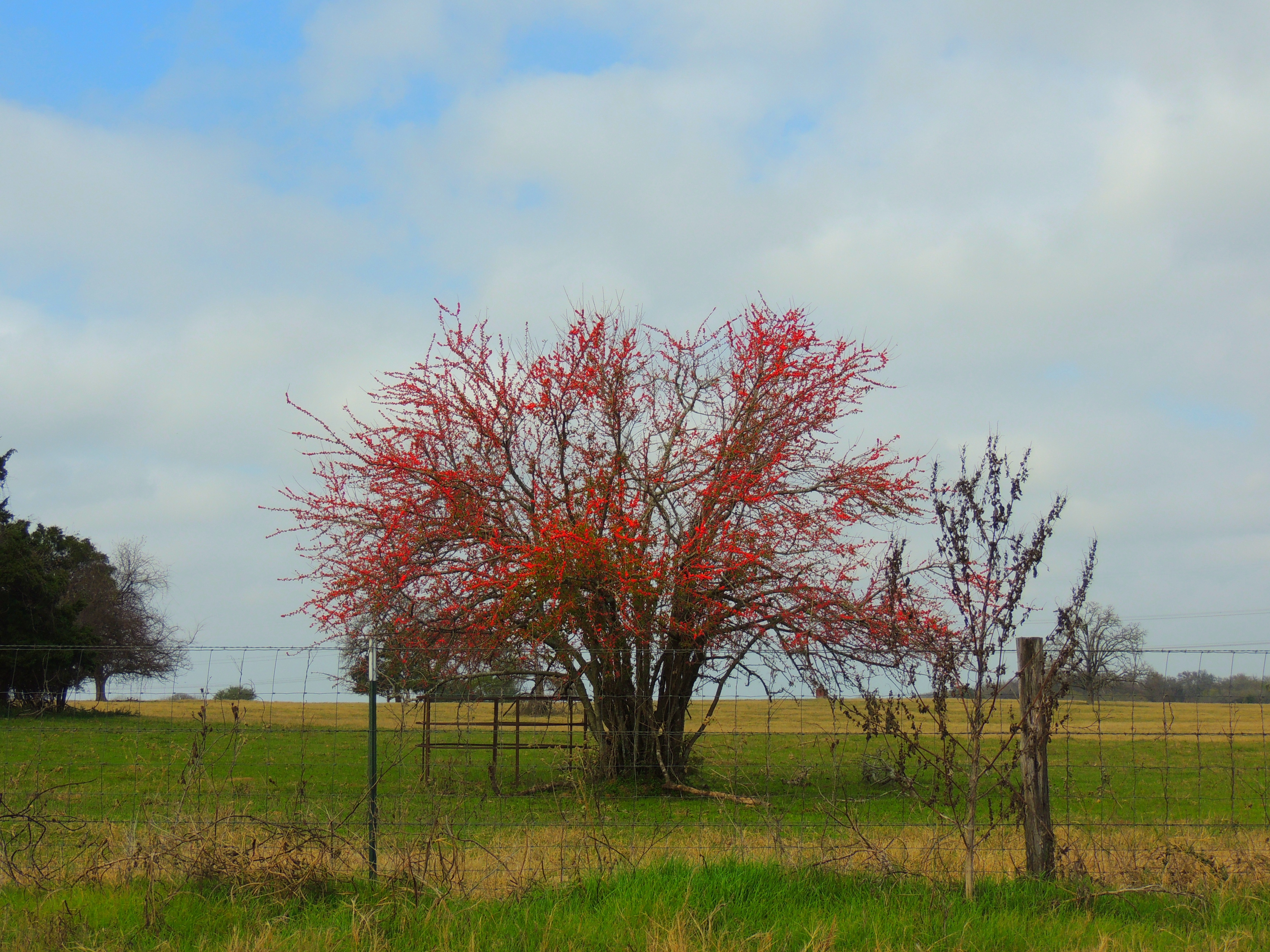
Christmas Eve Red Berries

Stranger # 100 - Cheryl Christmas Angel

Rosebud City Hall

Streetside in Rosebud
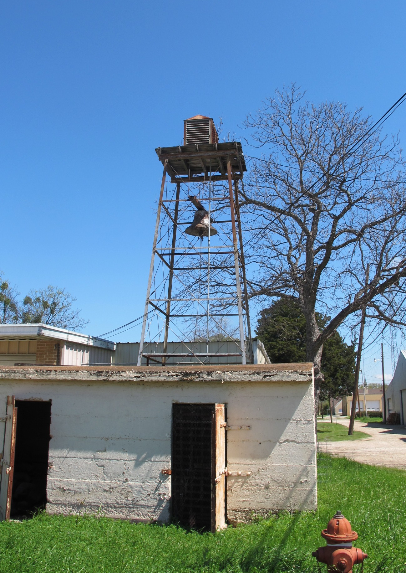
Fire Alarm in Rosebud

Streetside in Rosebud

Rosebud Nothing happened

MegaDays day 3 about to commence.

At least the doors work

Rosebud, TX VFD Unit 4

Rosebud, TX VFD Unit 4

Rosebud, TX VFD Unit 4

Rosebud, TX VFD Retired Units 1,2
Topographic Map of County Rd, Rosebud, TX, USA
Find elevation by address:

Places near County Rd, Rosebud, TX, USA:
Reagan
403 E Avenue A
983 County Rd 402
983 County Rd 402
307 Avenue E
Rosebud
Falls County
Marlin
9406 Us-77
Burlington
Bremond
TX-7, Chilton, TX, USA
204 Hwy 6
Kosse
FM 46, Franklin, TX, USA
Riesel
County Road 148
140 Apache Dr
Robertson County
Franklin
Recent Searches:
- Elevation of Corso Fratelli Cairoli, 35, Macerata MC, Italy
- Elevation of Tallevast Rd, Sarasota, FL, USA
- Elevation of 4th St E, Sonoma, CA, USA
- Elevation of Black Hollow Rd, Pennsdale, PA, USA
- Elevation of Oakland Ave, Williamsport, PA, USA
- Elevation of Pedrógão Grande, Portugal
- Elevation of Klee Dr, Martinsburg, WV, USA
- Elevation of Via Roma, Pieranica CR, Italy
- Elevation of Tavkvetili Mountain, Georgia
- Elevation of Hartfords Bluff Cir, Mt Pleasant, SC, USA