Elevation of Burlington, TX, USA
Location: United States > Texas > Milam County >
Longitude: -96.996655
Latitude: 31.0151845
Elevation: 132m / 433feet
Barometric Pressure: 100KPa
Elevation Map:
Satellite Map:
Related Photos:

This is my grandma Dorothy the day before the funeral, viewing day.
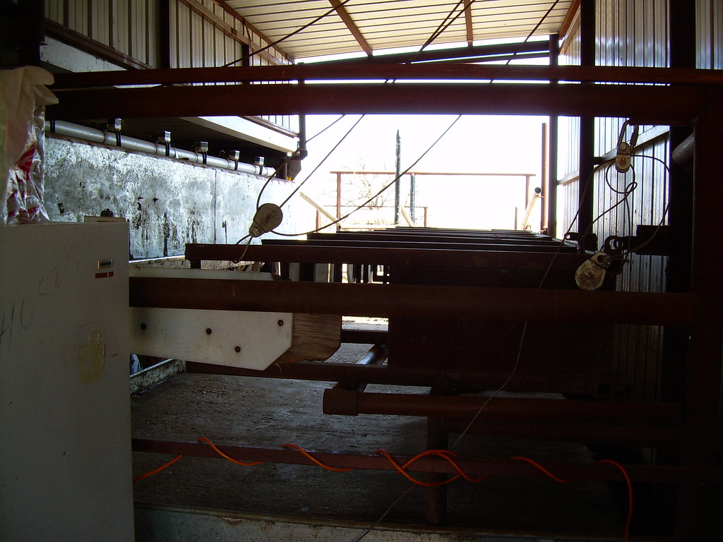
Dairy barn
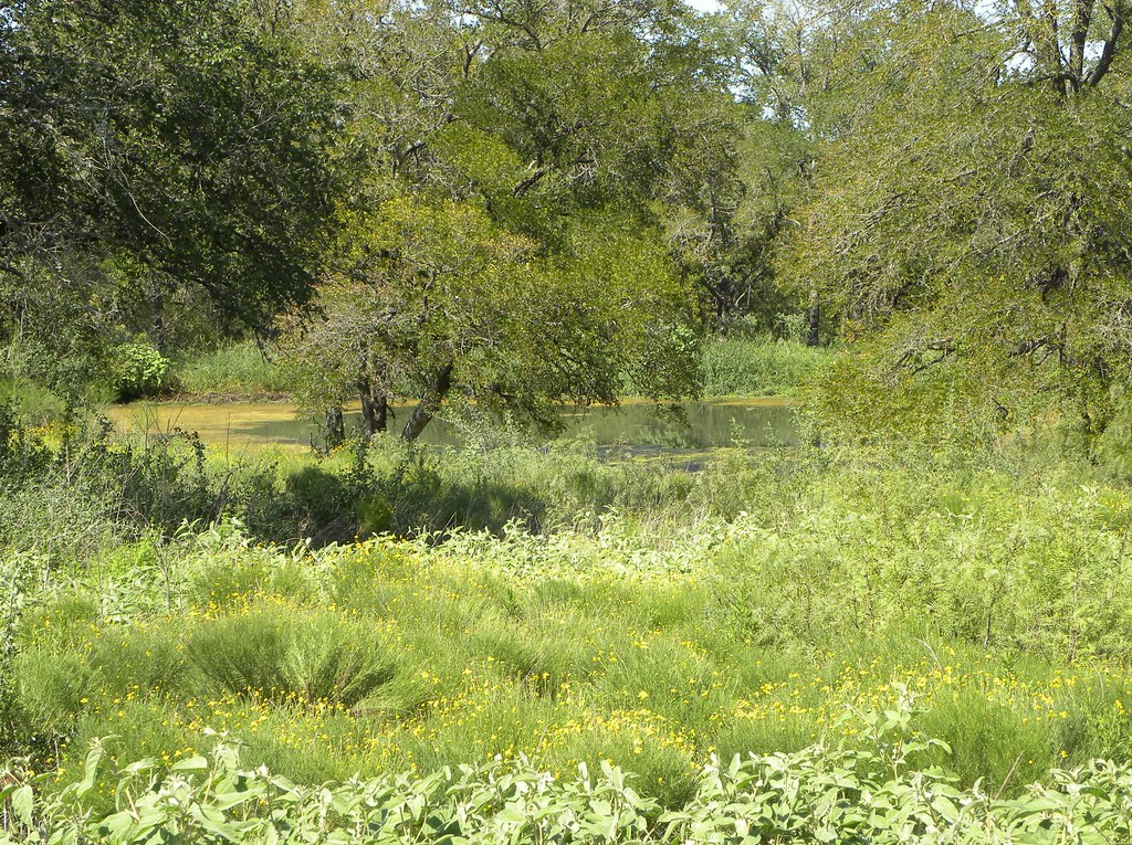
Stock pond greenery

Horse Kiss

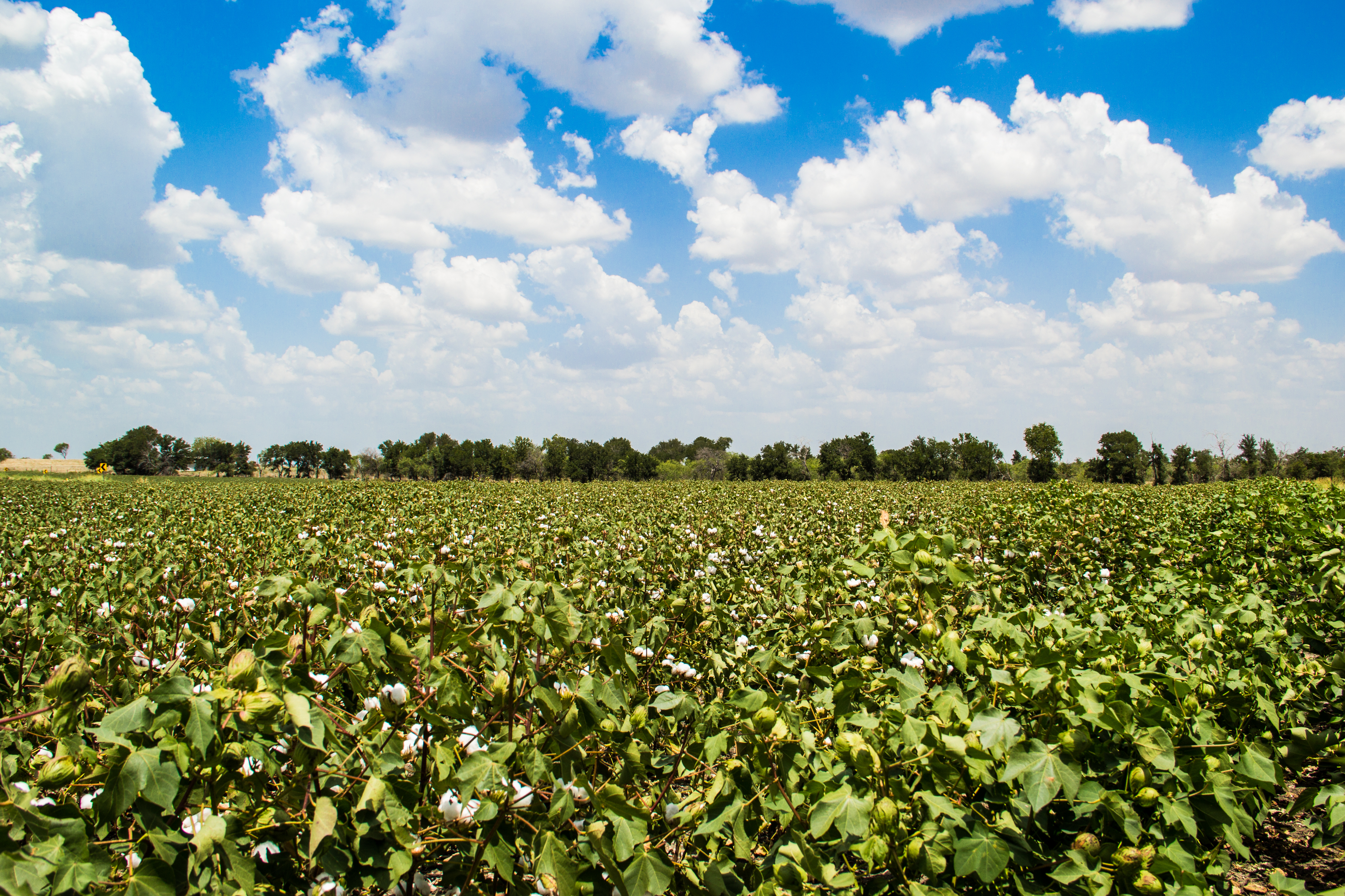
Golden Field Along SH 320
untitled.jpg
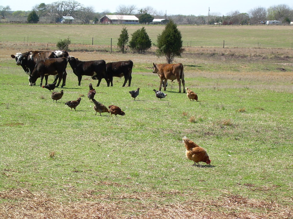
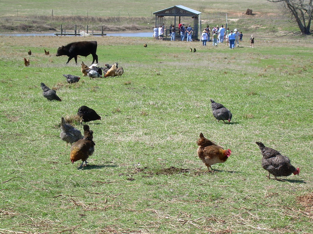
Cows and chickens
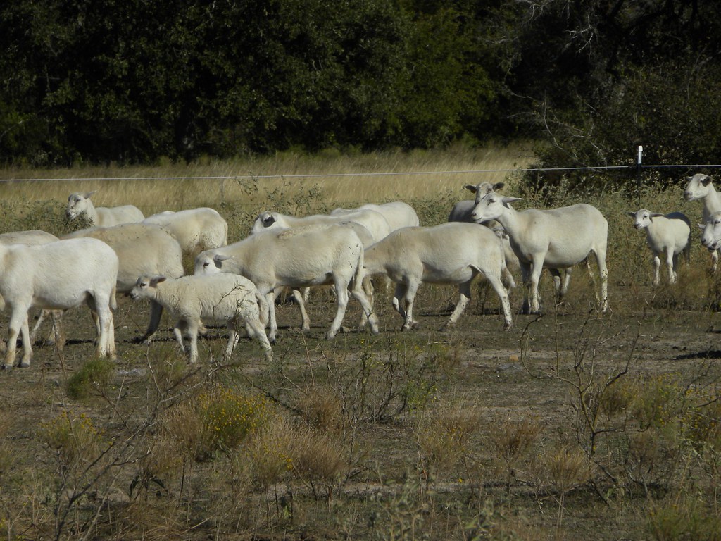
Sheep herd

Sand Creek Farm
Pastoral party

Lone Star In The Sunset
Topographic Map of Burlington, TX, USA
Find elevation by address:

Places near Burlington, TX, USA:
9406 Us-77
Rosebud
403 E Avenue A
307 Avenue E
Falls County
730 County Rd 326
983 County Rd 402
983 County Rd 402
TX-7, Chilton, TX, USA
Reagan
Marlin
204 Hwy 6
Bremond
Riesel
Kosse
FM 46, Franklin, TX, USA
County Road 148
140 Apache Dr
Robertson County
Hwy 6, Waco, TX, USA
Recent Searches:
- Elevation of Corso Fratelli Cairoli, 35, Macerata MC, Italy
- Elevation of Tallevast Rd, Sarasota, FL, USA
- Elevation of 4th St E, Sonoma, CA, USA
- Elevation of Black Hollow Rd, Pennsdale, PA, USA
- Elevation of Oakland Ave, Williamsport, PA, USA
- Elevation of Pedrógão Grande, Portugal
- Elevation of Klee Dr, Martinsburg, WV, USA
- Elevation of Via Roma, Pieranica CR, Italy
- Elevation of Tavkvetili Mountain, Georgia
- Elevation of Hartfords Bluff Cir, Mt Pleasant, SC, USA