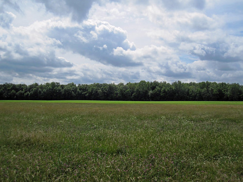
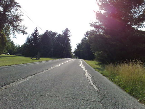
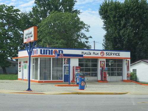
Elevation of County Rd N, Dunkirk, IN, USA
Location: United States > Indiana > Delaware County > Niles Township >
Longitude: -85.220171
Latitude: 40.3791267
Elevation: 286m / 938feet
Barometric Pressure: 98KPa
Related Photos:
Topographic Map of County Rd N, Dunkirk, IN, USA
Find elevation by address:

Places near County Rd N, Dunkirk, IN, USA:
Jackson Township
19201 N 550 E
South E, Hartford City, IN, USA
Niles Township
Albany
N Delaware St, Albany, IN, USA
N W, Redkey, IN, USA
West 875 North
9200 E Gregory Rd
E Gregory Rd, Eaton, IN, USA
Green Township
Delaware Township
Pennville
Eaton
Harrison Township
Penn Township
N Co Rd E, Muncie, IN, USA
Blackford County
E N St, Eaton, IN, USA
1401 S Jefferson St
Recent Searches:
- Elevation of Corso Fratelli Cairoli, 35, Macerata MC, Italy
- Elevation of Tallevast Rd, Sarasota, FL, USA
- Elevation of 4th St E, Sonoma, CA, USA
- Elevation of Black Hollow Rd, Pennsdale, PA, USA
- Elevation of Oakland Ave, Williamsport, PA, USA
- Elevation of Pedrógão Grande, Portugal
- Elevation of Klee Dr, Martinsburg, WV, USA
- Elevation of Via Roma, Pieranica CR, Italy
- Elevation of Tavkvetili Mountain, Georgia
- Elevation of Hartfords Bluff Cir, Mt Pleasant, SC, USA


