Elevation of Penn Township, IN, USA
Location: United States > Indiana > Jay County >
Longitude: -85.168674
Latitude: 40.5136261
Elevation: 265m / 869feet
Barometric Pressure: 98KPa
Elevation Map:
Satellite Map:
Related Photos:

Doll Room - Village Pottery Shop HDR

Southern Wells Gym
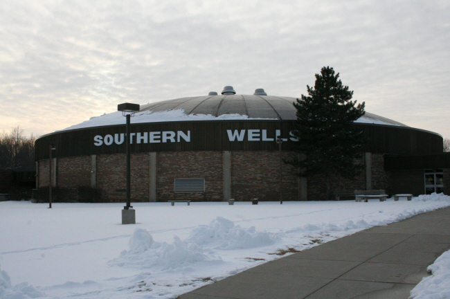
Southern Wells High School Gym

Looking into the Gallery from the Loft

Looking out the Storefront/Gallery

View from the park

View from the Gallery into the Kitchen

Baldwin Park - Montpelier, IN

Grape Hyacinth
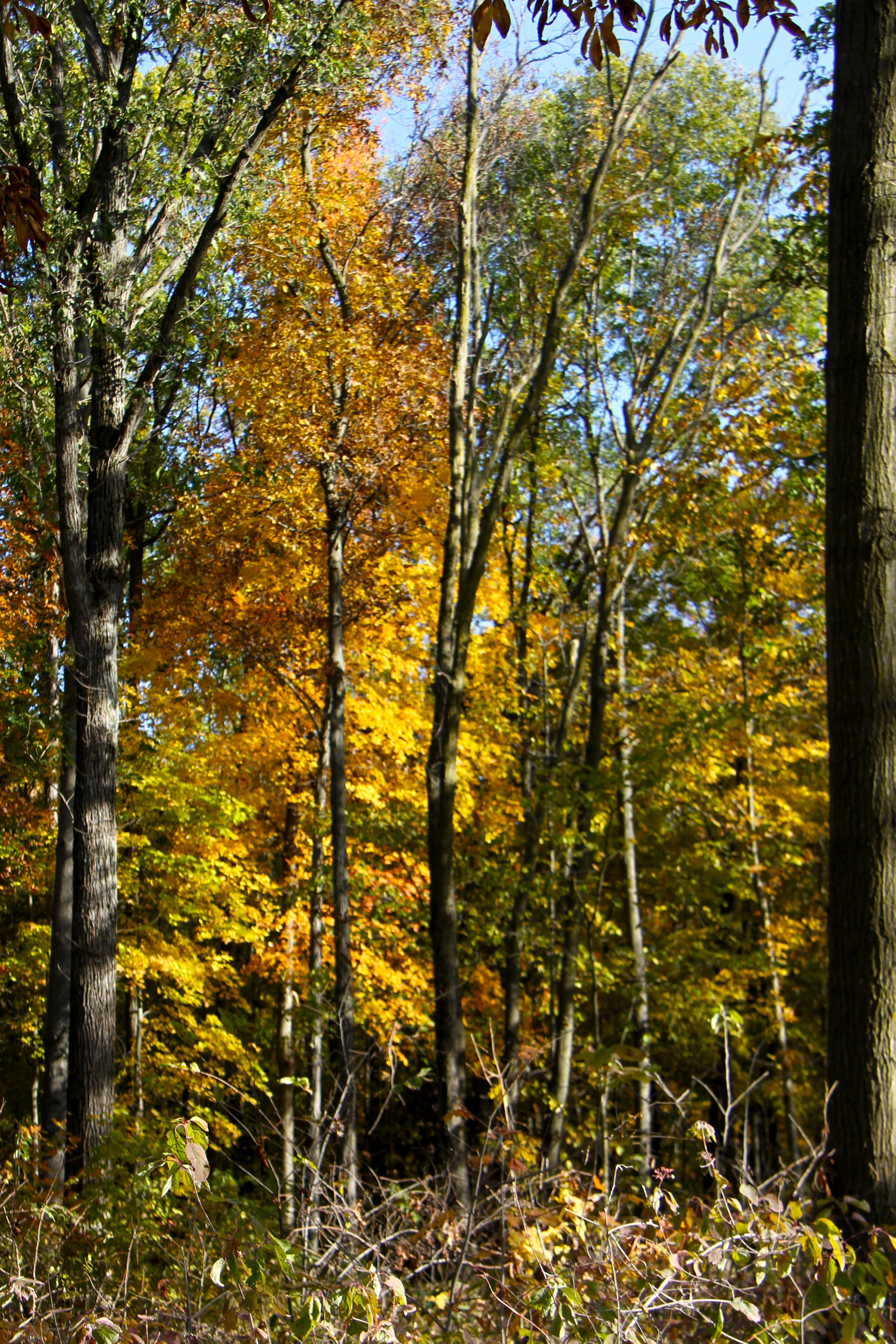
Fall Color

Poneto Sunset
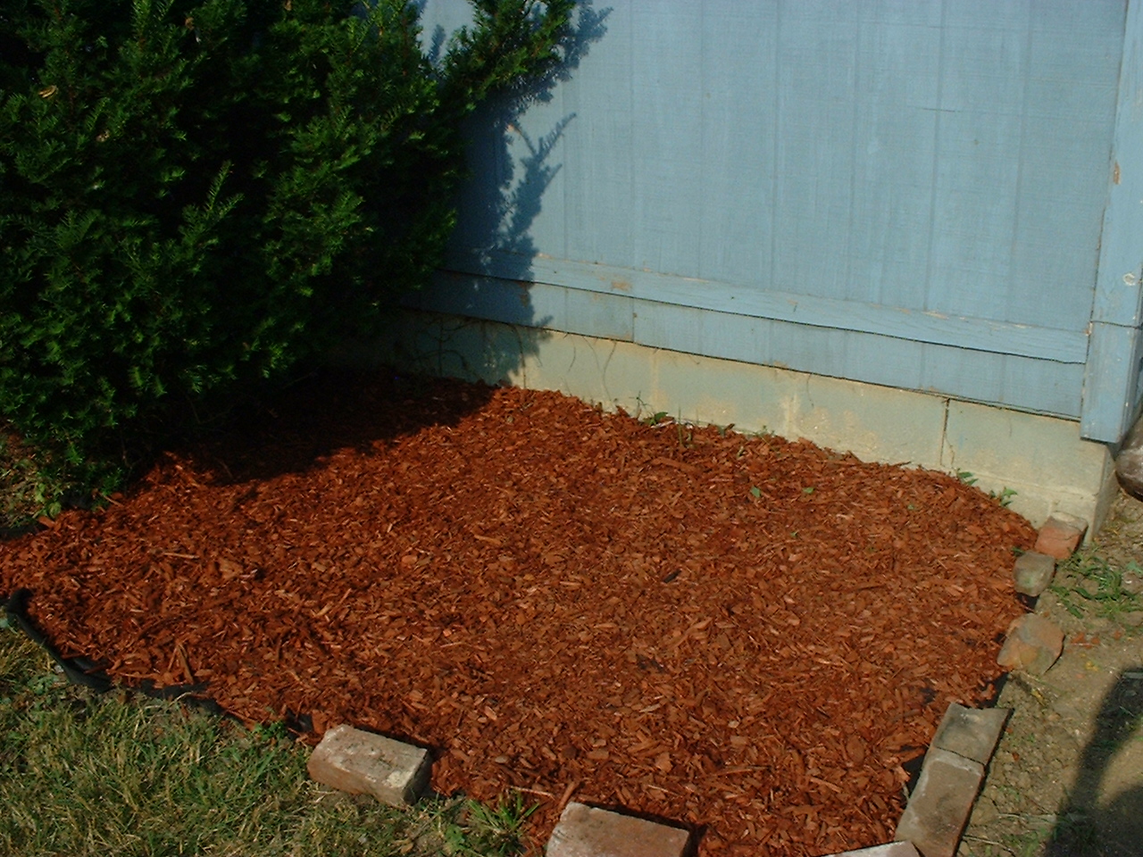
Garden Progress

Garden - After 2008

Ethanol Plant near Portland

2013 06 16_0101_edited-2.psd

Garden - Before 2008

Garden - After 2008
Topographic Map of Penn Township, IN, USA
Find elevation by address:

Places in Penn Township, IN, USA:
Places near Penn Township, IN, USA:
Pennville
IN-1, Montpelier, IN, USA
Harrison Township
Nottingham Township
South E, Hartford City, IN, USA
Jackson Township
500 N 500 E
E Huntington St, Montpelier, IN, USA
Montpelier
9770 S 200 W
Blackford County
Chester Township
SE Jeff Rd, Montpelier, IN, USA
S W, Warren, IN, USA
Washington Township
W Washington St, Hartford City, IN, USA
Hartford City
1401 S Jefferson St
N W, Hartford City, IN, USA
Jackson Township
Recent Searches:
- Elevation of Corso Fratelli Cairoli, 35, Macerata MC, Italy
- Elevation of Tallevast Rd, Sarasota, FL, USA
- Elevation of 4th St E, Sonoma, CA, USA
- Elevation of Black Hollow Rd, Pennsdale, PA, USA
- Elevation of Oakland Ave, Williamsport, PA, USA
- Elevation of Pedrógão Grande, Portugal
- Elevation of Klee Dr, Martinsburg, WV, USA
- Elevation of Via Roma, Pieranica CR, Italy
- Elevation of Tavkvetili Mountain, Georgia
- Elevation of Hartfords Bluff Cir, Mt Pleasant, SC, USA