Elevation of Cottonwood Dr, Charlestown, IN, USA
Location: United States > Indiana > Clark County > Charlestown Township > Charlestown >
Longitude: -85.588721
Latitude: 38.477623
Elevation: 200m / 656feet
Barometric Pressure: 99KPa
Elevation Map:
Satellite Map:
Related Photos:
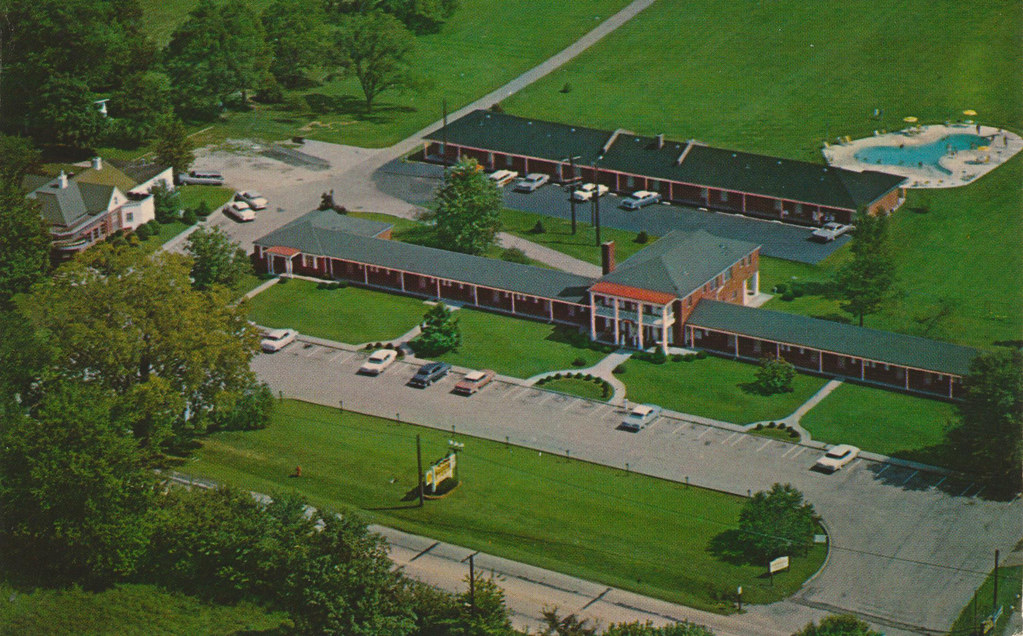
The Melrose Motel - Prospect, Kentucky
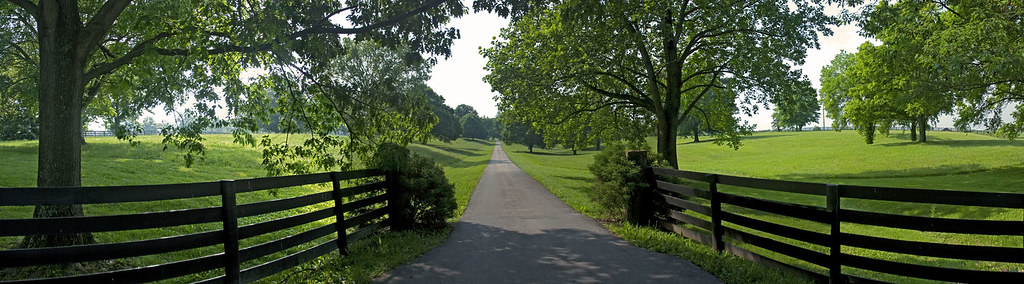
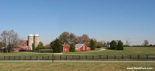
Heritage Farm
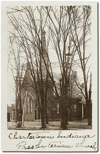
Presbyterian Church, Charlestown, Indiana
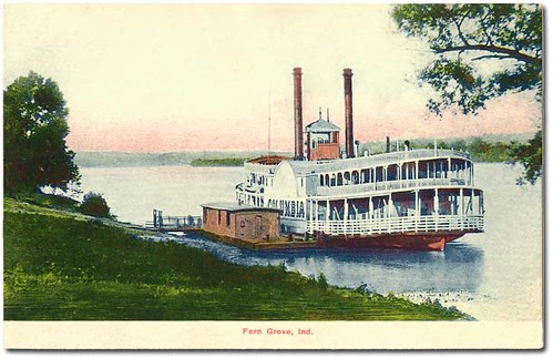
Side-wheeler "Columbia" docked at Fern Grove, Indiana.

Main Street, Memphis, Indiana
House that Popaw Built
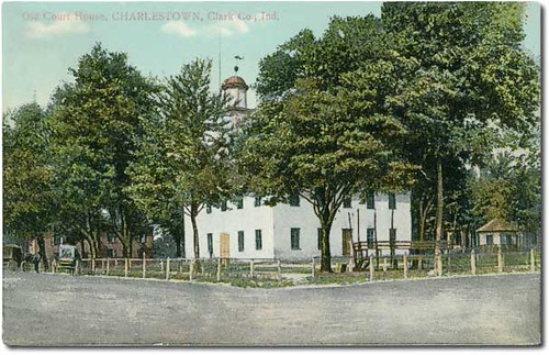
Old court house, Charlestown, Indiana.
View from 3302 Hidden Springs Ln is Lot 39 The Overlook on Covered Bridge
DSC_0013.JPG

pleasant view church, westport rd., wood township, clark county, indiana

View from Friend's Porch
DSC_0030.JPG
View from Friend's porch

Backyard of LT
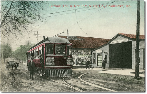
Louisville & Northern Railway Terminal, Charlestown, Indiana

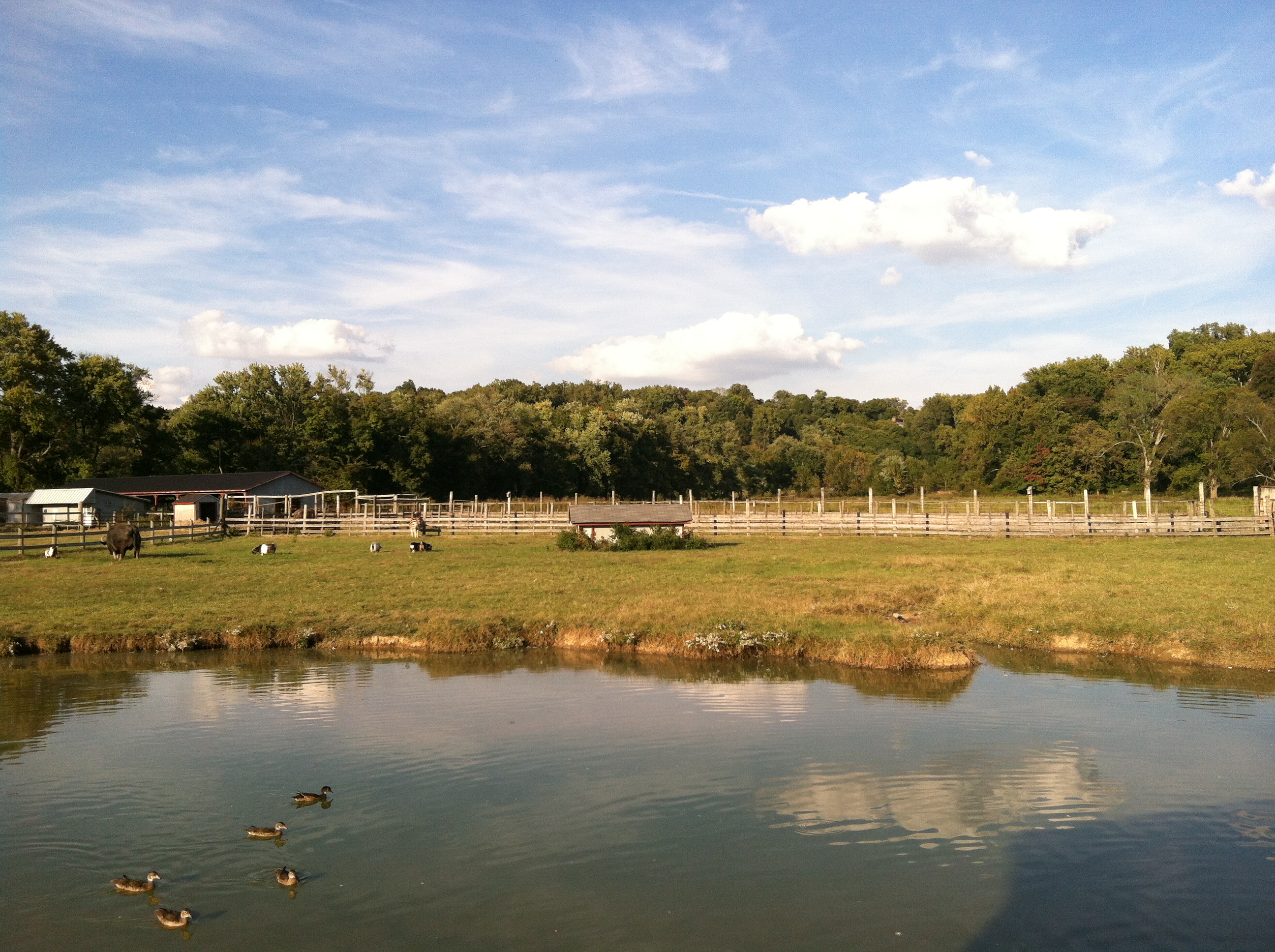
Water Buffalo
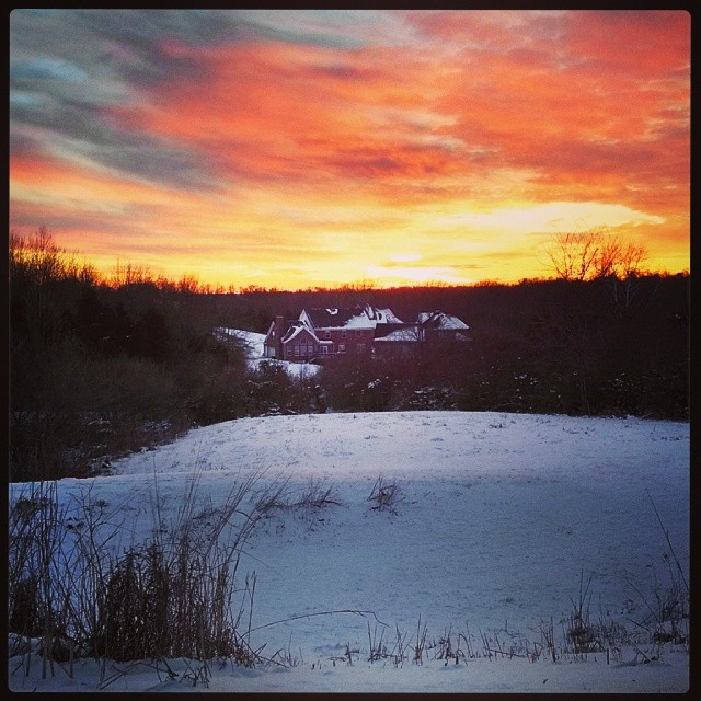
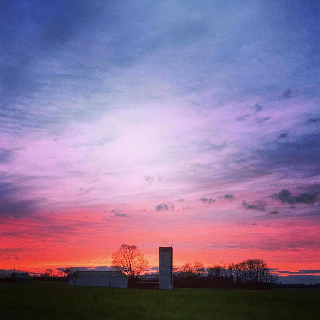
Winter sunset.
Henry's Ark
Rose Island Stone Fountain

Rose Island Swimming Pool
Friday night sunset
DSC_0102.JPG

DSC_0103.JPG
DSC_0105.JPG
Rose Island | Charlestown, Indiana

Golden Rod

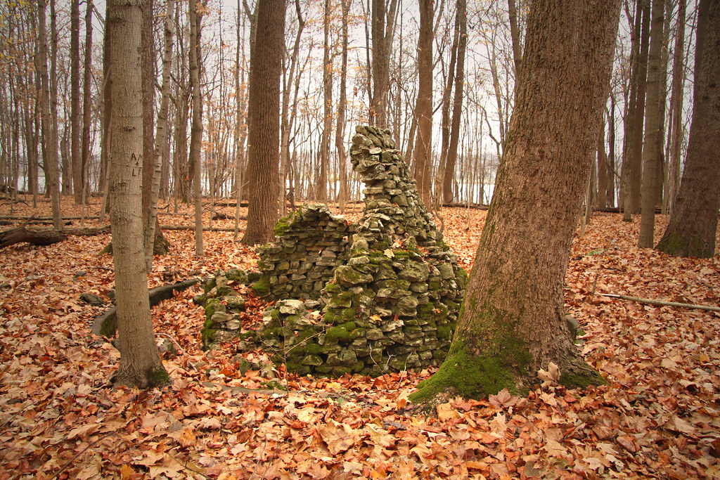
Quiet forest
DSC_0002.JPG
DSC_0101.JPG
DSC_0104.JPG
DSC_0001.JPG
DSC_0106.JPG
Long and Winding Path - 3/365
Golden field
DSC_0109.JPG
Topographic Map of Cottonwood Dr, Charlestown, IN, USA
Find elevation by address:

Places near Cottonwood Dr, Charlestown, IN, USA:
Marion Martin Rd, Charlestown, IN, USA
Bull Creek Rd, Charlestown, IN, USA
1505 Colonial Ct
Cardinal Harbour Rd, Prospect, KY, USA
River Rd E, Charlestown, IN, USA
14001 Harbour Pl
Victory Ct, Prospect, KY, USA
13204 Settlers Point Trail
Goshen
Charlestown Township
1016 Yellow Poplar Dr
US-42, Goshen, KY, USA
Owen Township
1510 Riverside Dr
1510 Riverside Dr
1510 Riverside Dr
1510 Riverside Dr
Charlestown
Ridge Road
2400 Belknap Beach Rd
Recent Searches:
- Elevation of Corso Fratelli Cairoli, 35, Macerata MC, Italy
- Elevation of Tallevast Rd, Sarasota, FL, USA
- Elevation of 4th St E, Sonoma, CA, USA
- Elevation of Black Hollow Rd, Pennsdale, PA, USA
- Elevation of Oakland Ave, Williamsport, PA, USA
- Elevation of Pedrógão Grande, Portugal
- Elevation of Klee Dr, Martinsburg, WV, USA
- Elevation of Via Roma, Pieranica CR, Italy
- Elevation of Tavkvetili Mountain, Georgia
- Elevation of Hartfords Bluff Cir, Mt Pleasant, SC, USA