Elevation of Harbour Pl, Prospect, KY, USA

Location: United States > Kentucky > Oldham County > Prospect >

Longitude: -85.611308

Latitude: 38.4211231

Elevation: 136m / 446feet

Barometric Pressure: 100KPa

Elevation Map:

elevation map of Harbour Pl, Prospect, KY, USA

Satellite Map:

Satellite map of Harbour Pl, Prospect, KY, USA

Related Photos:

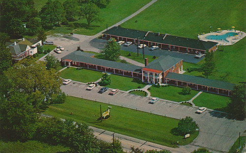
vintage kentucky quality postcard aerialview motel melrose prospect aaa
The Melrose Motel - Prospect, Kentucky
green sports car yellow automobile lotus elise ky cellphone exotic louisville lamborghini murcielago iphone kentcuky
Lamborghini and Lotus
There She Is!
seerockcity rockcitybarn clarkcounty in indiana perrycrossing us31 i65 bmok
See 7 States from Rock City
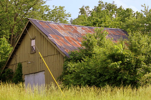
heritage farm kentucky louisville goshen
Heritage Farm
church kentucky historical louisville peweevalley katematthews
Pewee Valley Presbyterian Church
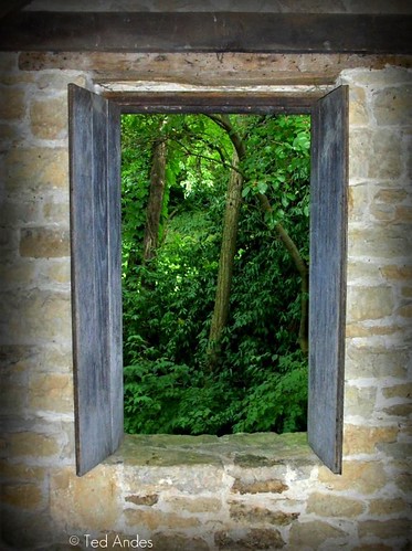
window stone cabin rustic historic shutter louisville through revolutionary frontier locustgrove theartistseyes yourphototips
Spring House Window
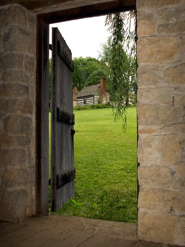
cabin rustic historic louisville revolutionary frontier locustgrove yourphototips
Spring House Door
houses homes heidi forsale estate realestate photos farm kentucky ky prospect fore neighborhoods subdivision theoverlook oldhamcounty 40059 prospectky heidihomescom prospect40059com theoverlookoncoveredbridge heidiforecom ushwy329
View from 3302 Hidden Springs Ln is Lot 39 The Overlook on Covered Bridge
kentucky ky louisville
View from Friend's Porch
kentucky ky louisville
View from Friend's porch
square squareformat lark iphoneography instagramapp uploaded:by=instagram
So, we just moved into our new house and I would say that the view off of my back deck doesn't suck very much || #dontbehating
8015 Shady View Dr Ctown Drone-1
architecture westportroad clarkcountyindiana woodtownship pleasantviewchurch
pleasant view church, westport rd., wood township, clark county, indiana
8007 Shady View Dr Ctown Drone-8
8015 Shady View Dr Ctown Drone-4
instagramapp square squareformat iphoneography uploaded:by=instagram
My view right now, my son, Joseph Patrick.
square squareformat amaro iphoneography instagramapp uploaded:by=instagram
The view from my rocking chair || #sunset #beautiful #sky
city project indiana louisville 365 renovation jeffersonville 365project
Arched Window 267-365
family dog pet pets kids project indiana louisville 365 babysitting jeffersonville 365project
Birdseye View 248-365
louisville stmaryacademy
DSC_0030.JPG
Yew Dell Botanical Gardens. Crestwood Kentucky
park abandoned amusement indiana roseisland
Rose Island Swimming Pool
Yew Dell Botanical Gardens. Crestwood Kentucky. Image Aspect Ratio 16: 9 widescreen
park aerial vissing quadcopter multicopter
Winter in Southern Indiana. Explored Dec 22
park abandoned amusement indiana roseisland
Rose Island Stone Fountain
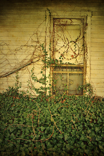
door old color detail green abandoned nature overgrown leaves vines kentucky ivy front louisville suburbanality
The Last Days of Worthington
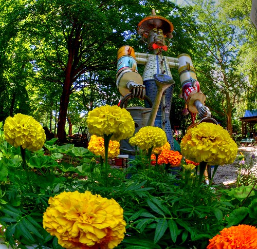
hiddenhillnurserysculpturegarden utica indiana garden tinman flowers scenery landscape art whimsical sculpture hiddenhills lensbabycircularfisheye fisheye jerryvoyles
The Tin Man
Pectoral Sandpiper 10-23-2018 0567
river ohioriver mile597 clarkcounty indiana riverbank
88d179: Ohio River mile 597 right bank (12 of 25) - Clark Maritime Center
sind southern indiana railroad train trains locomotive rail road alco s2 diesel speed freight cement spring louisville
Speed Switching
fall autumn seasons kentucky hills trees road country america day daylight outside tree sky clouds nature blue green yellow leaves light landscape landscapes home november
Week 45: Fall/Autumn
stone indiana limestone utica rockquarry
88c130: Gap in cliffs at abandoned quarry near Utica, Indiana
2012project366
Beautiful Morning 19/366
AMPI 3-21-2018
Last time going here...
usa river unitedstates kentucky ohioriver goshen famousdog
87j270: boat storage area near Famous Dog restaurant
cemetery kentucky ky louisville nationalcemetery zacharytaylor nrhp zacharytaylornationalcemetery bmok bmok2 bmok9used
Zachary Taylor National Cemetery
statepark park creek unitedstates state indiana charlestown fourteenmilecreek charlestownstatepark fourteenmile
Trail 3 - Charlestown State Park
statepark park creek unitedstates state indiana charlestown fourteenmilecreek charlestownstatepark fourteenmile
Trail 3 - Charlestown State Park
macro tiretrack construction clay dirt pattern texture
Tire Track
2012project366
Old Dairy Farm 43/366