Elevation of Corrigan Heights, Corrigan, TX, USA
Location: United States > Texas > Polk County > Corrigan >
Longitude: -94.797701
Latitude: 31.0085903
Elevation: 72m / 236feet
Barometric Pressure: 100KPa
Elevation Map:
Satellite Map:
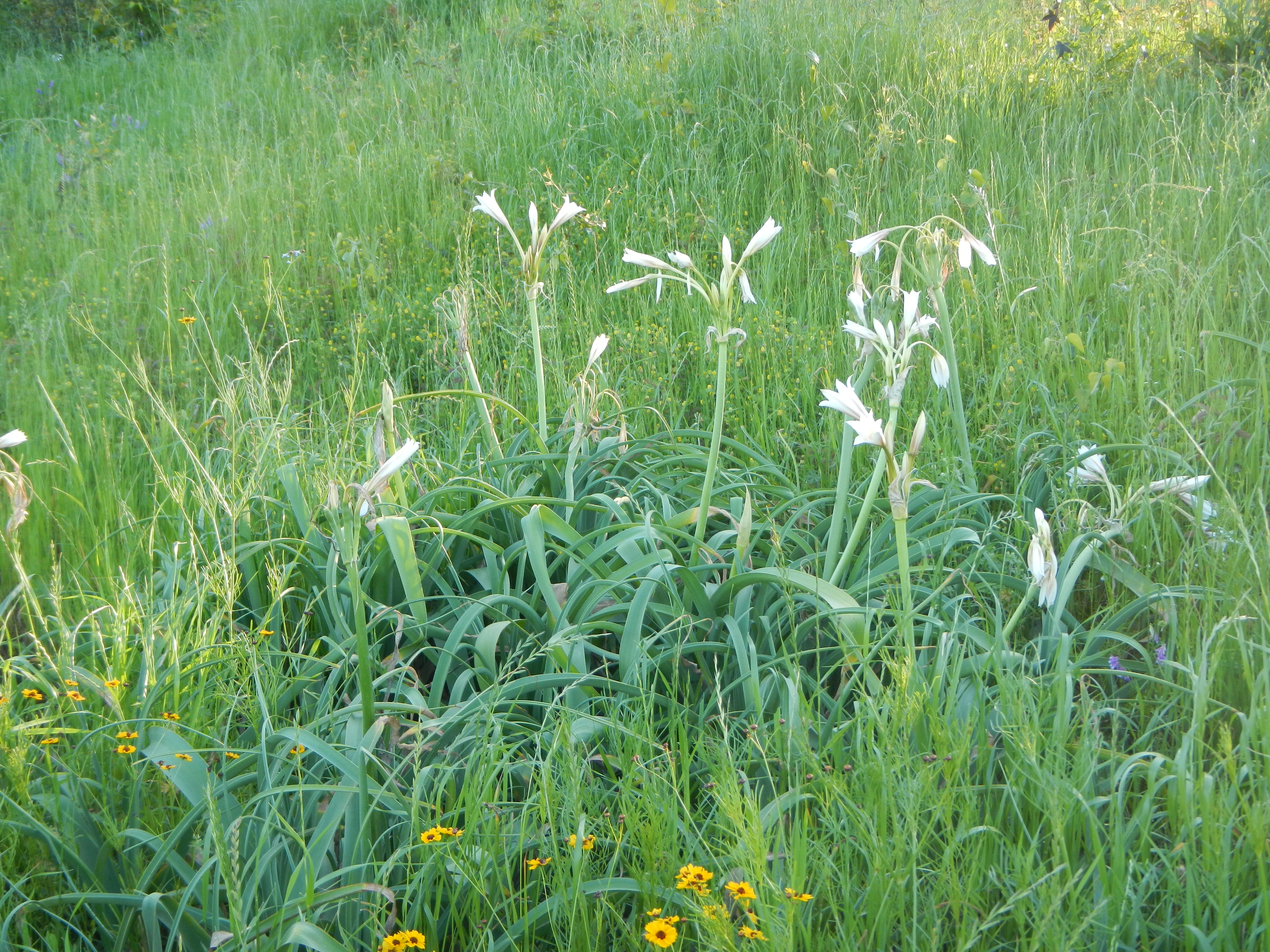
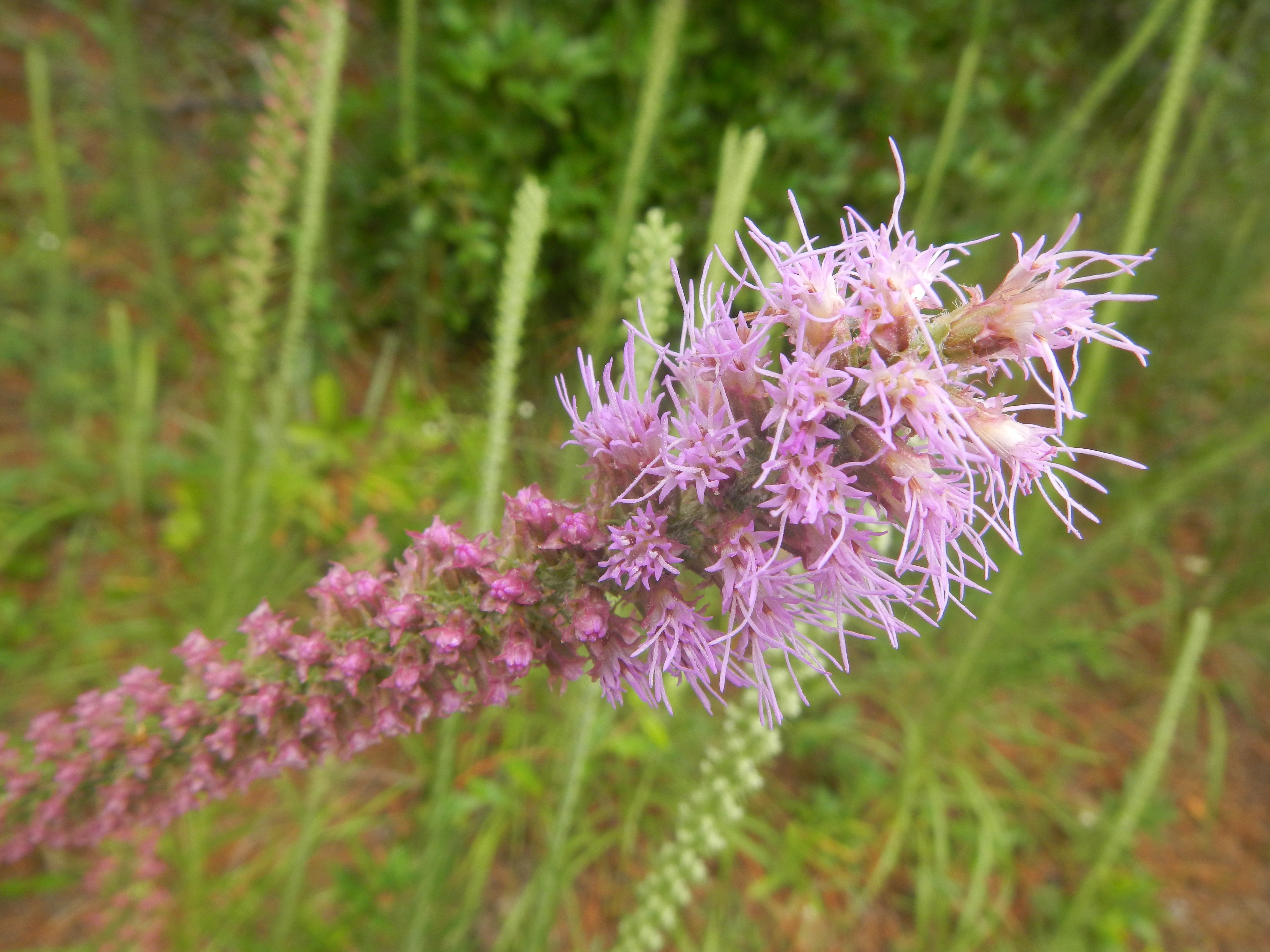
Related Photos:
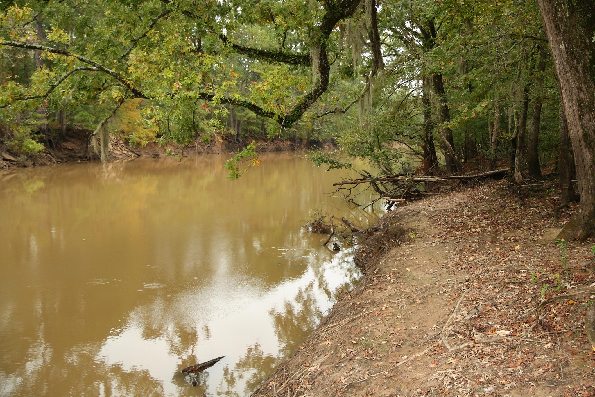
Neches River
DSCN0659.JPG
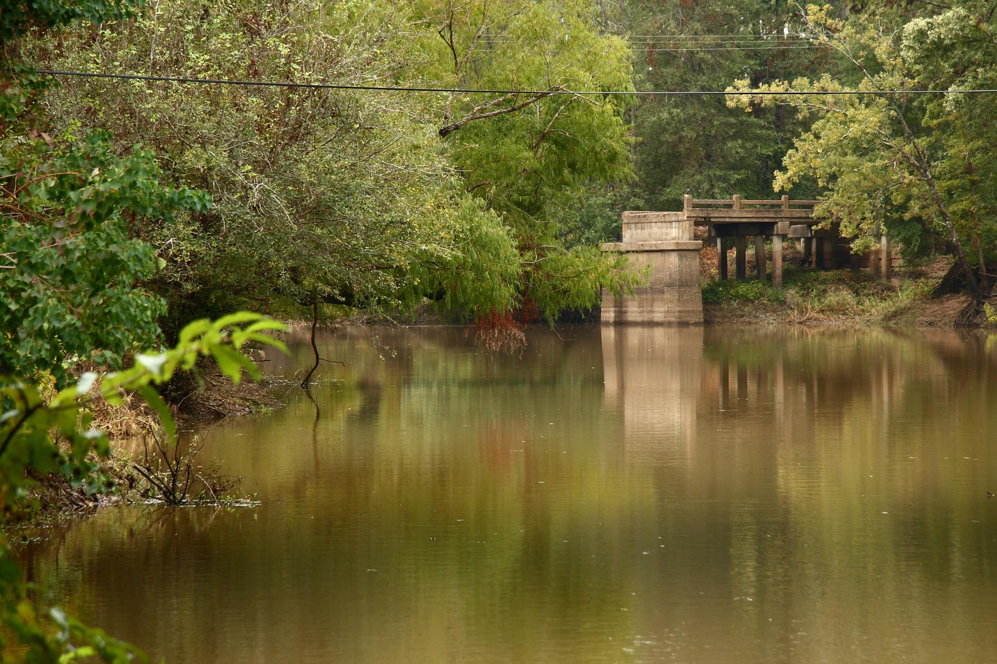
Old Bridge Abutment
DSCN2557.JPG
DSCN2559.JPG
DSCN2547.JPG

Corrigan, TX Police Ford Police Interceptor Utility

Corrigan, TX Police Slicktop Ford Expedition

Polk County, TX Sheriff Chevy Tahoe PPV
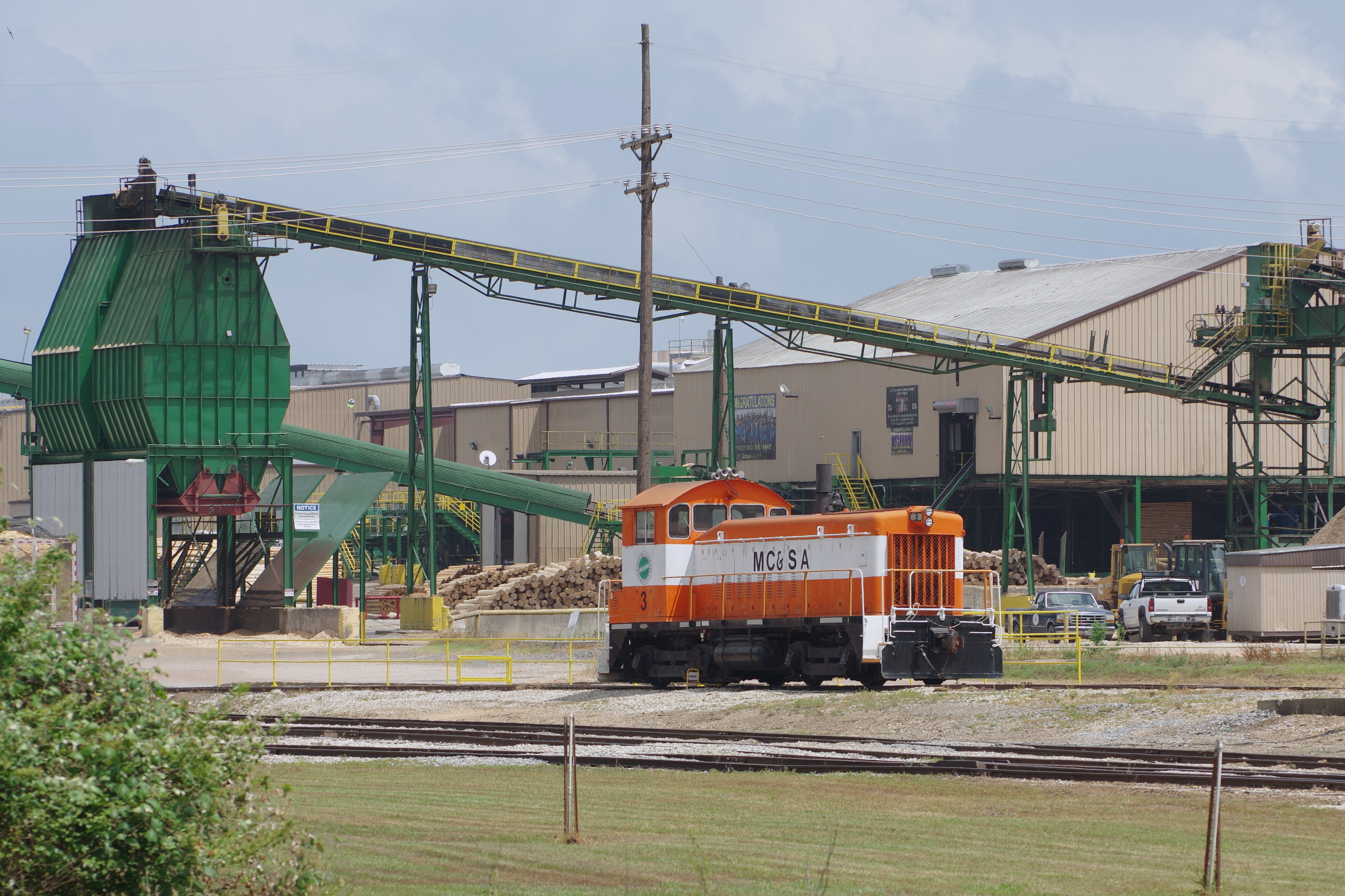
Moscow Camden & San Augustine Railroad, Camden, Texas
Topographic Map of Corrigan Heights, Corrigan, TX, USA
Find elevation by address:

Places near Corrigan Heights, Corrigan, TX, USA:
Pleasant Hill
116 Bluebonnet Cir
Corrigan
Reinhardt Ln, Corrigan, TX, USA
1700 Fm357
Judd, Diboll, TX, USA
Diboll
Trevat
8400 Fm 2262
7171 Fm 1818
416 Wruble Lee Rd
152 Stringer Rd
205 Blythe Rd
Apple Springs
Crown Colony
FM, Lufkin, TX, USA
1010 Augusta Dr
500 Canyon Creek Rd
1098 Benton Dr
101 Champions Dr
Recent Searches:
- Elevation of Corso Fratelli Cairoli, 35, Macerata MC, Italy
- Elevation of Tallevast Rd, Sarasota, FL, USA
- Elevation of 4th St E, Sonoma, CA, USA
- Elevation of Black Hollow Rd, Pennsdale, PA, USA
- Elevation of Oakland Ave, Williamsport, PA, USA
- Elevation of Pedrógão Grande, Portugal
- Elevation of Klee Dr, Martinsburg, WV, USA
- Elevation of Via Roma, Pieranica CR, Italy
- Elevation of Tavkvetili Mountain, Georgia
- Elevation of Hartfords Bluff Cir, Mt Pleasant, SC, USA