Elevation of Stringer Rd, Burke, TX, USA
Location: United States > Texas > Angelina County >
Longitude: -94.757408
Latitude: 31.2410553
Elevation: 86m / 282feet
Barometric Pressure: 100KPa
Elevation Map:
Satellite Map:
Related Photos:

Angelina County Courthouse (Lufkin, Texas)

Reminder Of Times Past

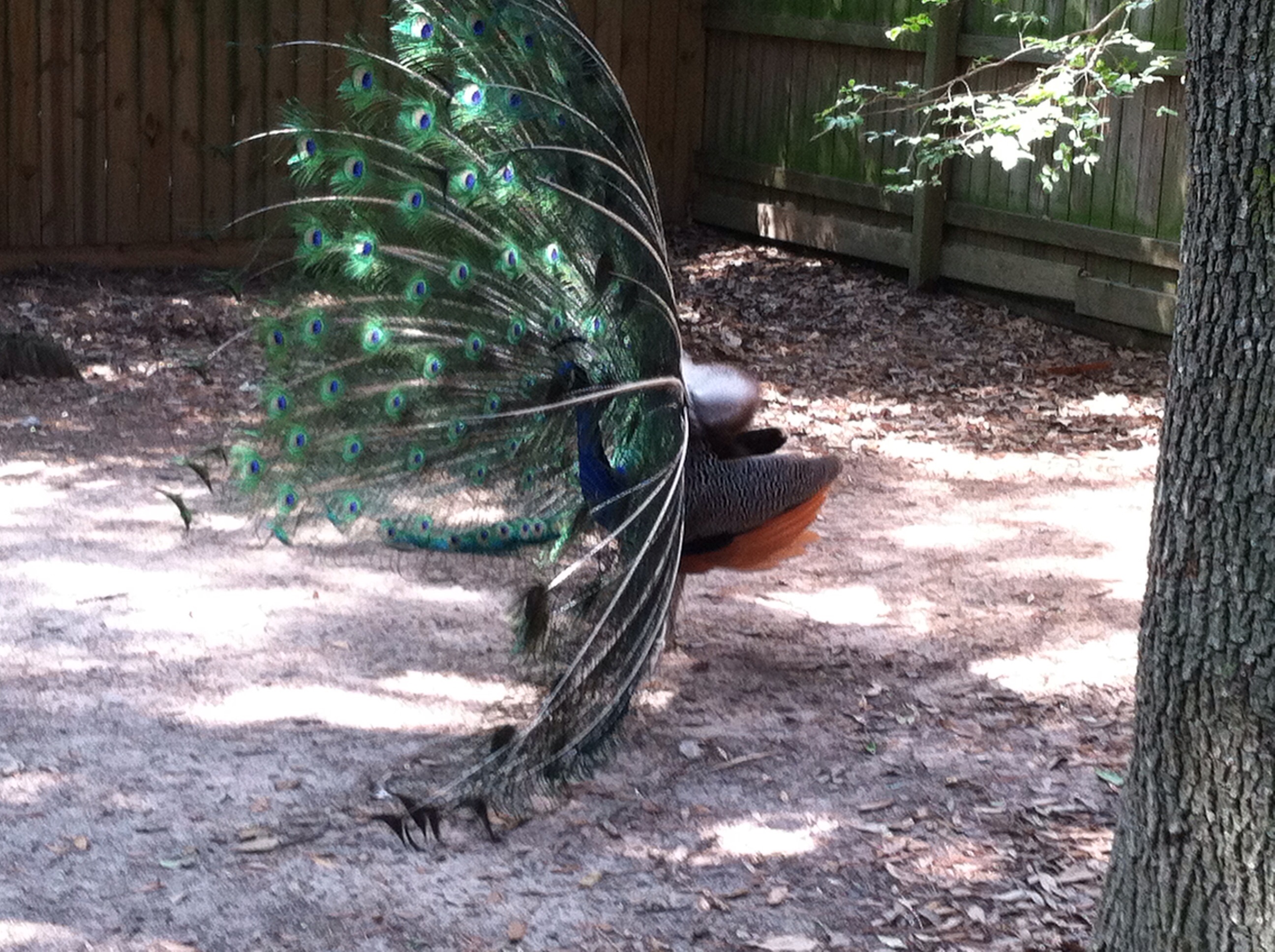
Peacock IMG_8141Topaz
View from the Side
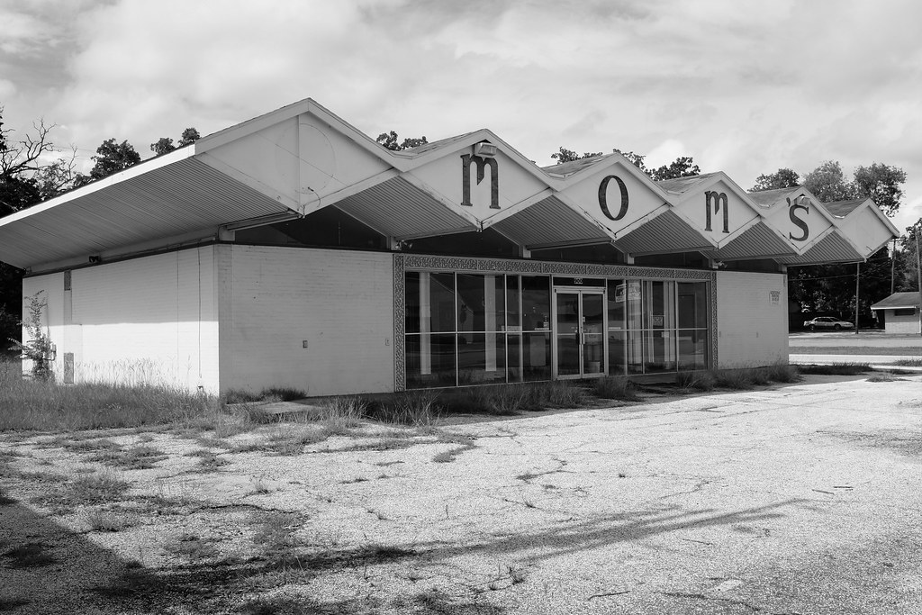
Mom's. Lufkin Tx.
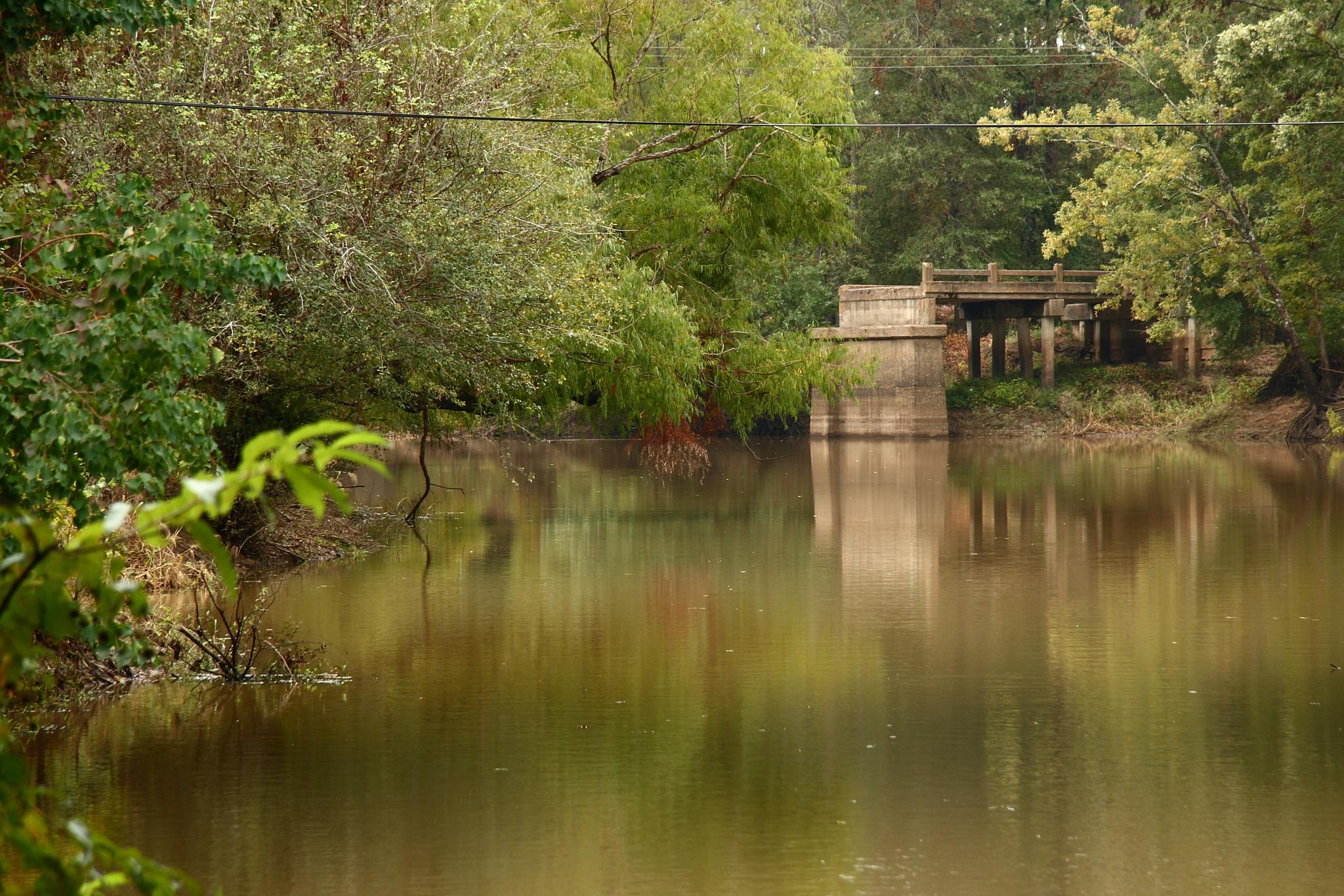
Old Bridge Abutment
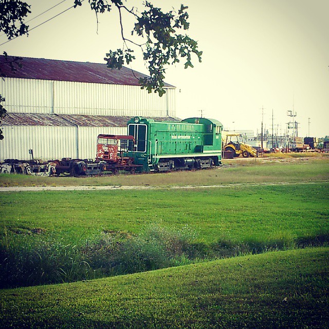
#TSE 1007 @ #Diboll #TexasSoutheastern
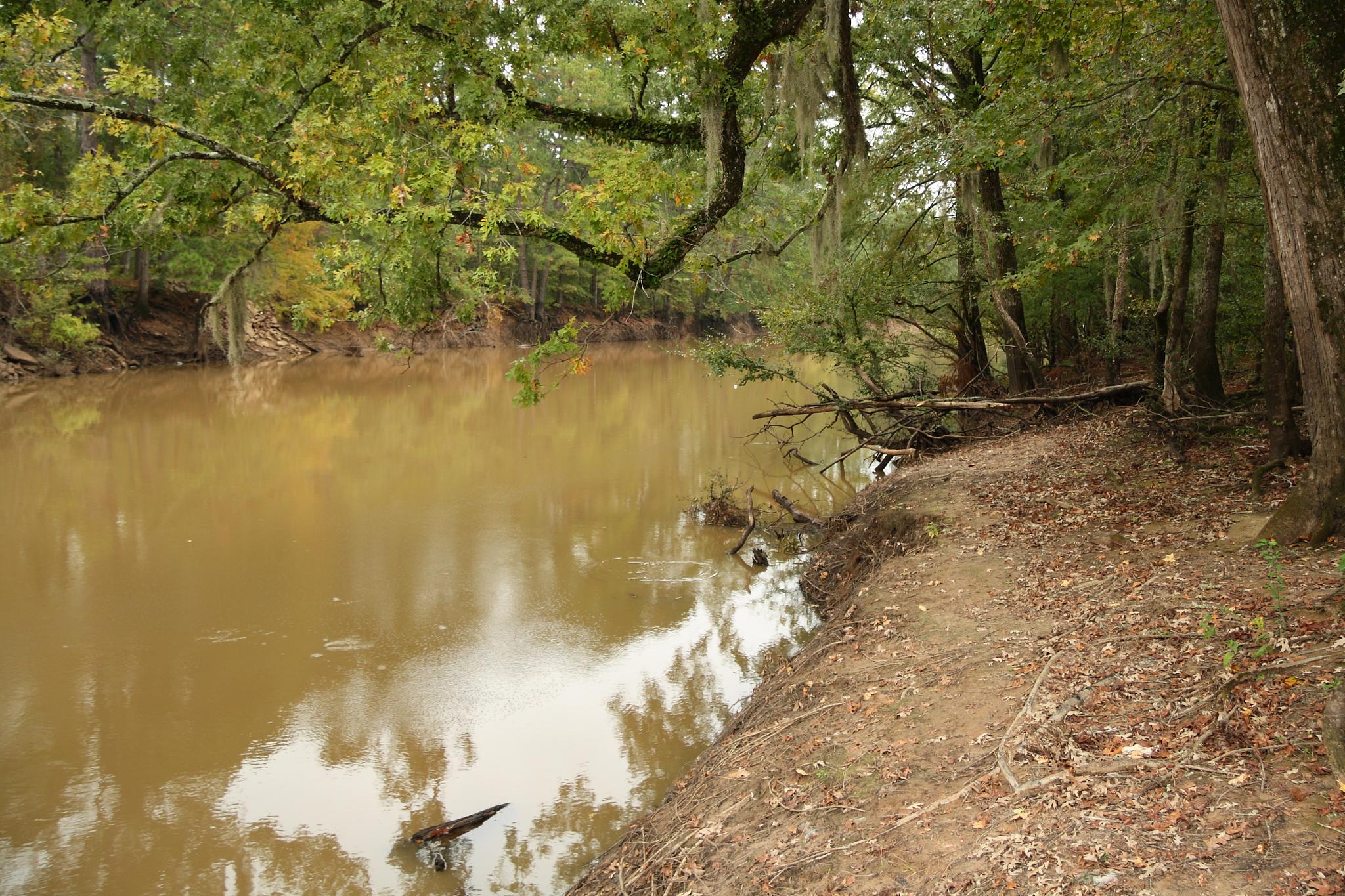
Neches River

Day 107: Turtles
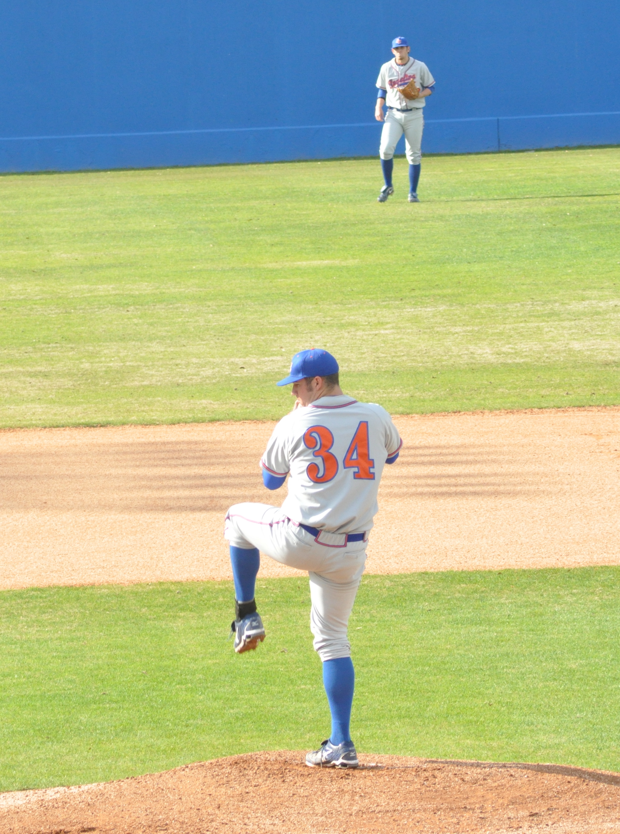
John Tatum Pitching

ACbaseball2010-0078

Waiting in Line
Topographic Map of Stringer Rd, Burke, TX, USA
Find elevation by address:

Places near Stringer Rd, Burke, TX, USA:
416 Wruble Lee Rd
Crown Colony
1010 Augusta Dr
101 Champions Dr
Diboll
Judd, Diboll, TX, USA
500 Canyon Creek Rd
1098 Benton Dr
205 Blythe Rd
FM, Lufkin, TX, USA
7171 Fm 1818
Angelina County
Mitchell Rd, Lufkin, TX, USA
Huntington
30 E Magnolia St
100 E Magnolia St
200 E Magnolia St
908 Fm1669
300 E Magnolia St
303 E Magnolia St
Recent Searches:
- Elevation of Corso Fratelli Cairoli, 35, Macerata MC, Italy
- Elevation of Tallevast Rd, Sarasota, FL, USA
- Elevation of 4th St E, Sonoma, CA, USA
- Elevation of Black Hollow Rd, Pennsdale, PA, USA
- Elevation of Oakland Ave, Williamsport, PA, USA
- Elevation of Pedrógão Grande, Portugal
- Elevation of Klee Dr, Martinsburg, WV, USA
- Elevation of Via Roma, Pieranica CR, Italy
- Elevation of Tavkvetili Mountain, Georgia
- Elevation of Hartfords Bluff Cir, Mt Pleasant, SC, USA