Elevation map of Correze, France
Location: France >
Longitude: 2.0195909
Latitude: 45.4320081
Elevation: 682m / 2238feet
Barometric Pressure: 93KPa
Elevation Map:
Satellite Map:
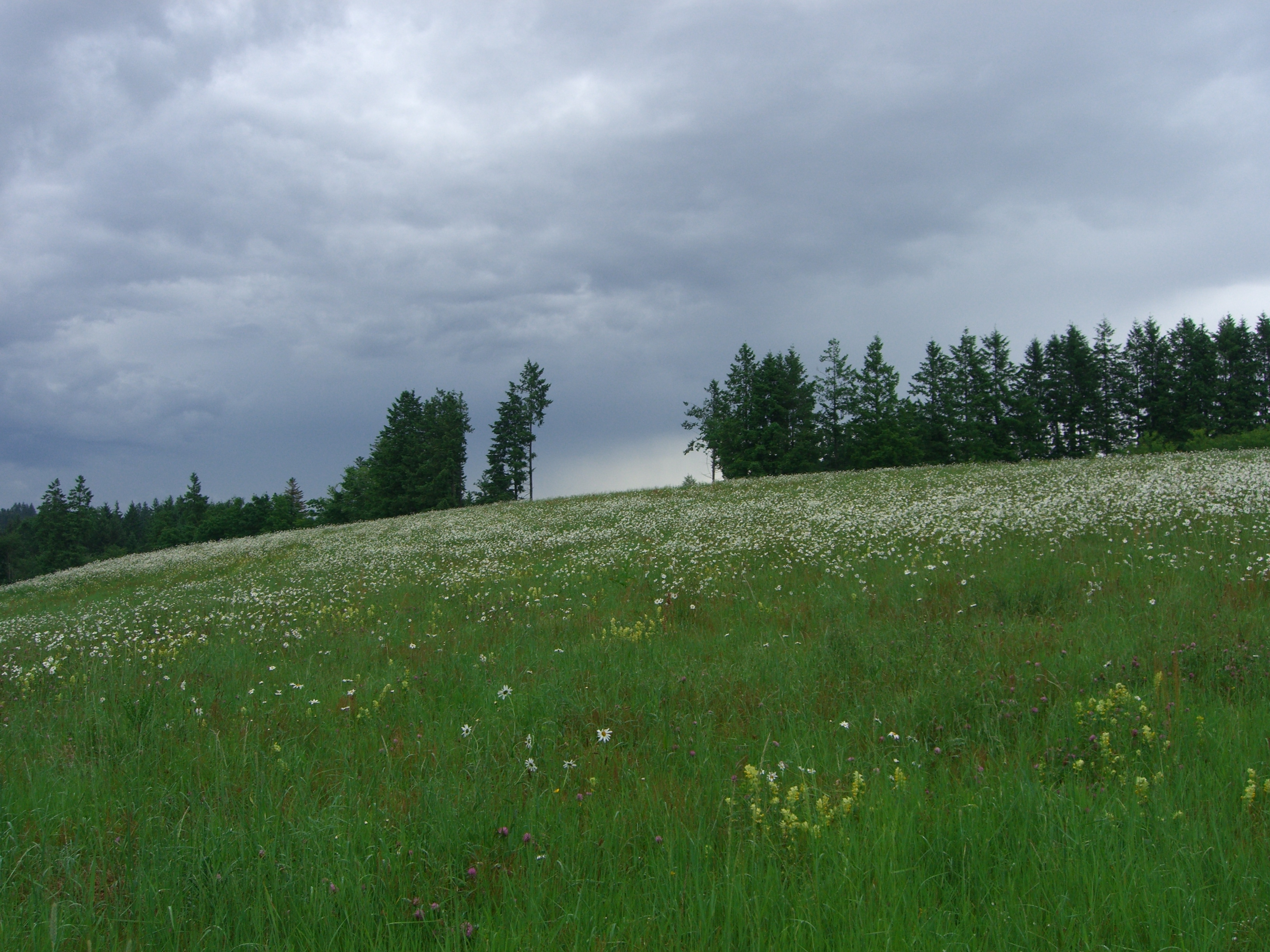
Related Photos:
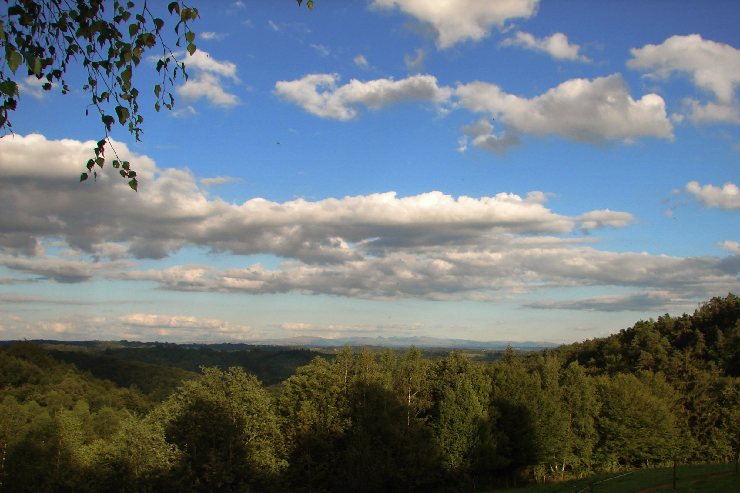
A Room with a View
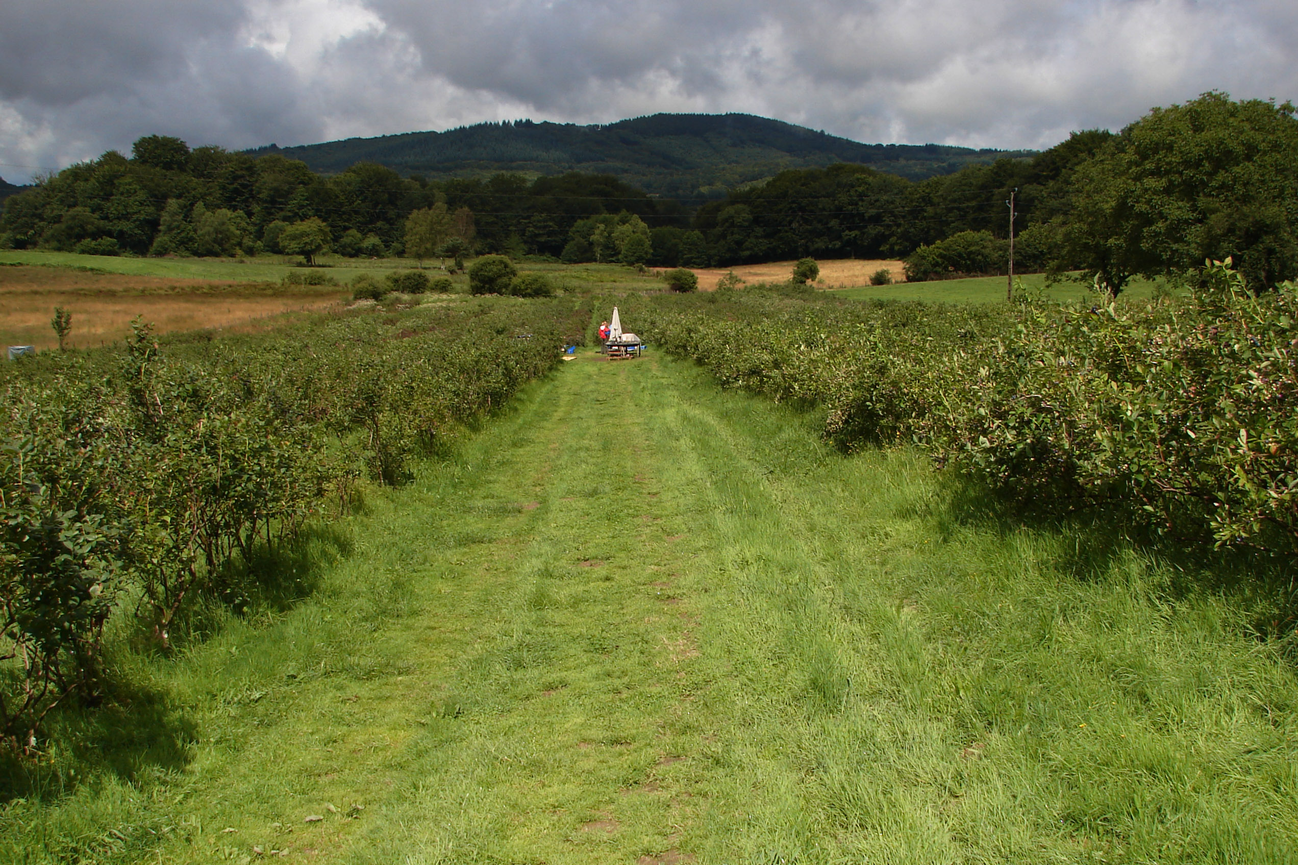
Blueberry Fields in the Corrèze
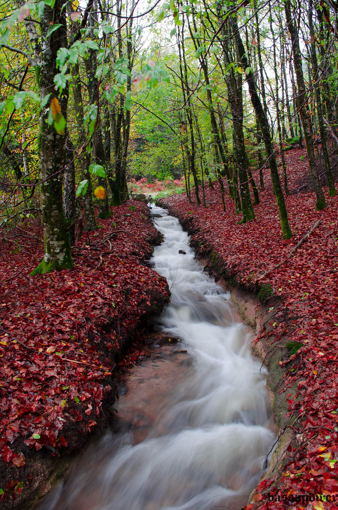
AU FIL DE L'AUTOMNE

13 sheep

Annecy lake

Cascade de la Tyne
Fall is coming
Dark Sky Paradise
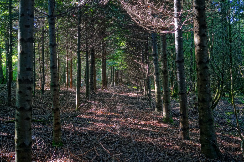
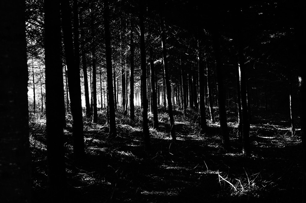
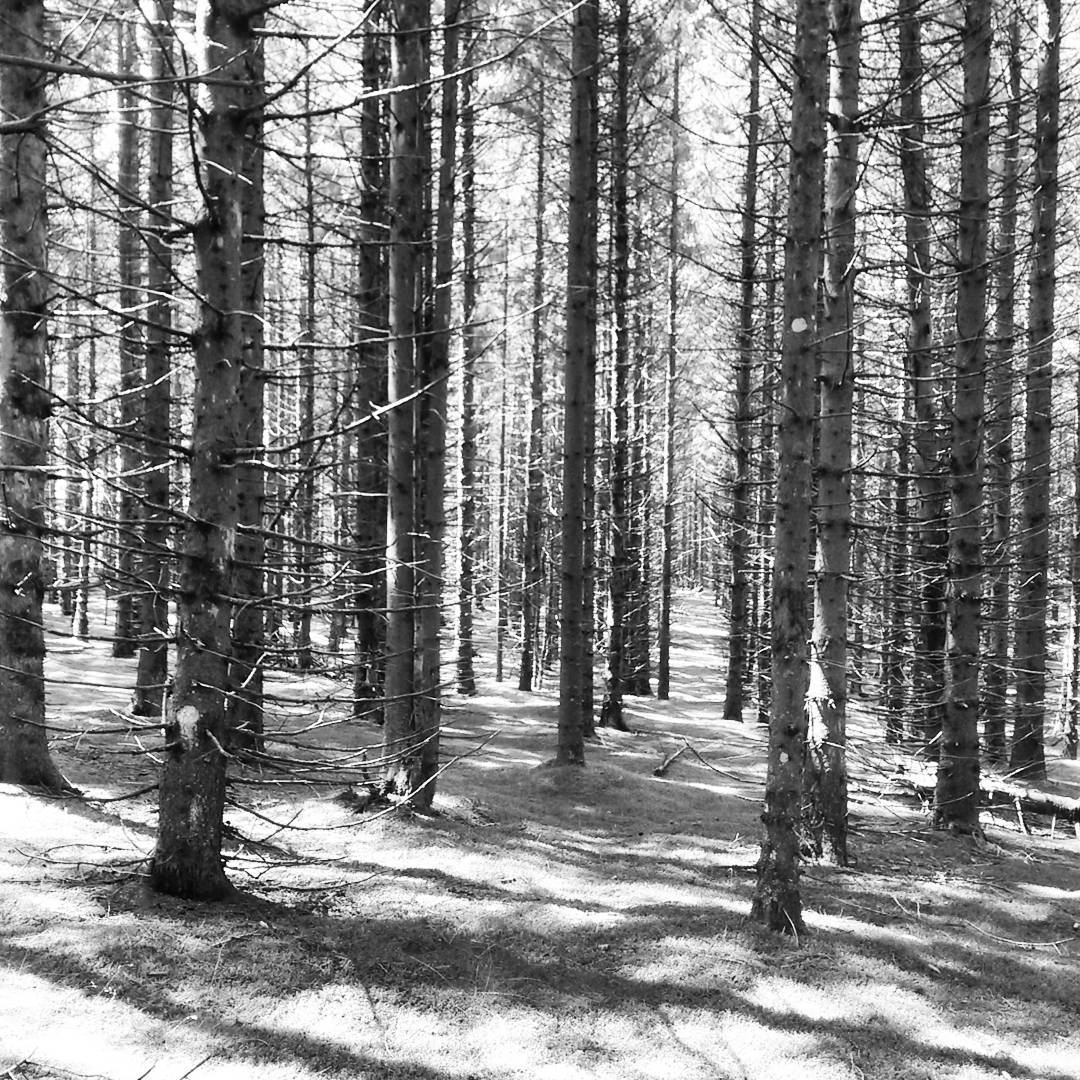
Deep forest

2008-07-12 203702_§O.jpg
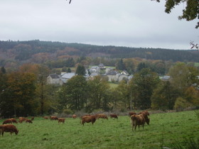
La ferme Corrèzienne

Mineral landscape

2007-08-23 190249_§R1.jpg
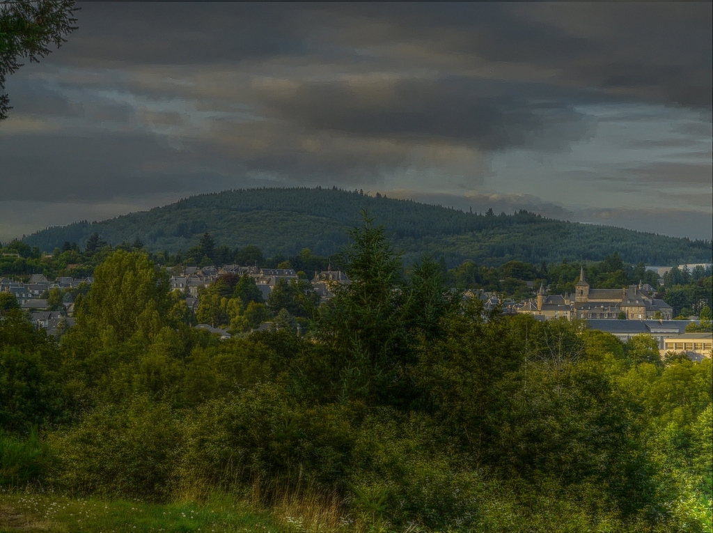
meymac par temps orageux HDR
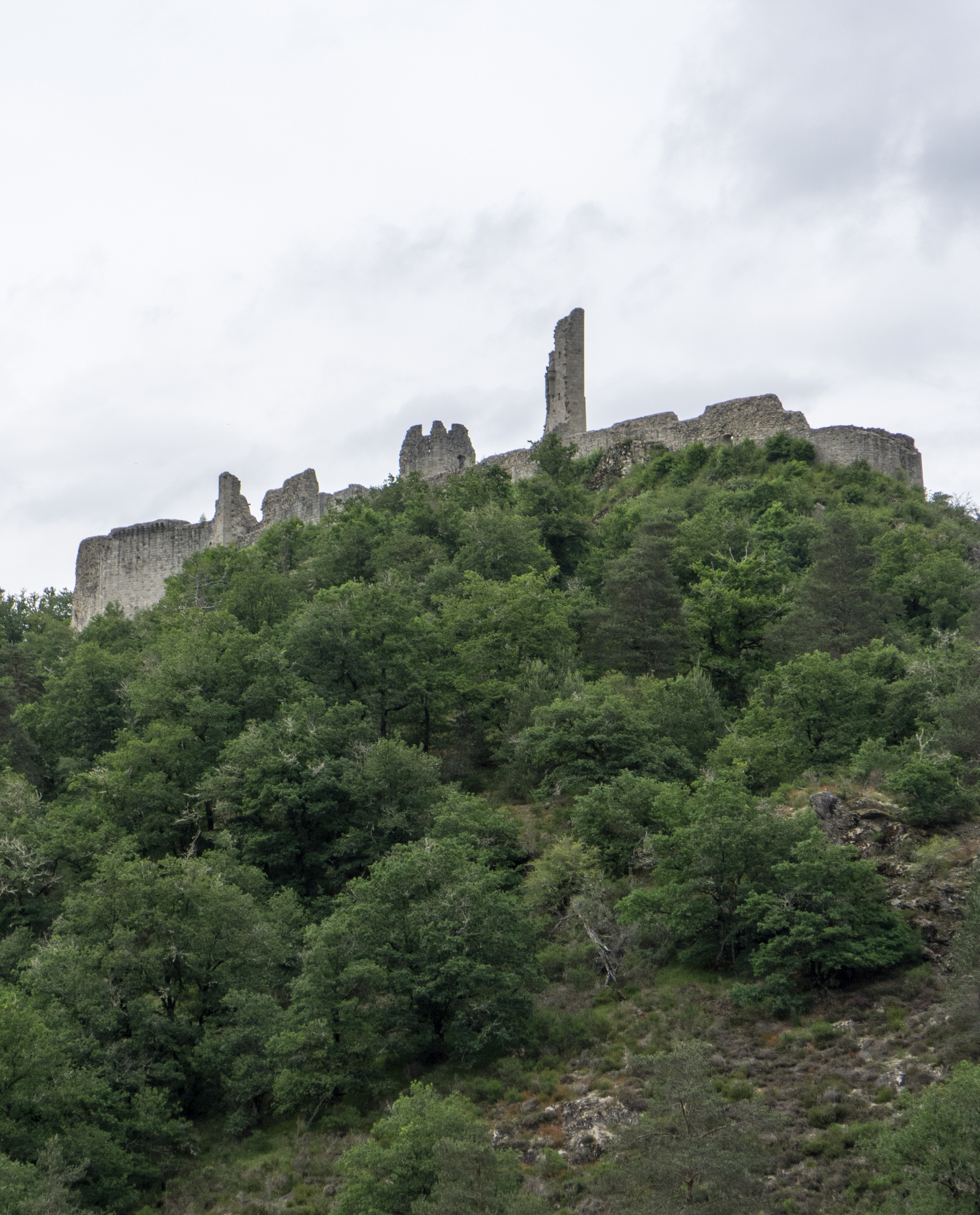
Château (XIe s.) de Ventadour (Corrèze, France)
2008-06-10 161444_§O.jpg

Chaumeil - Corrèze

Veix - Corrèze

Chaumeil - Corrèze
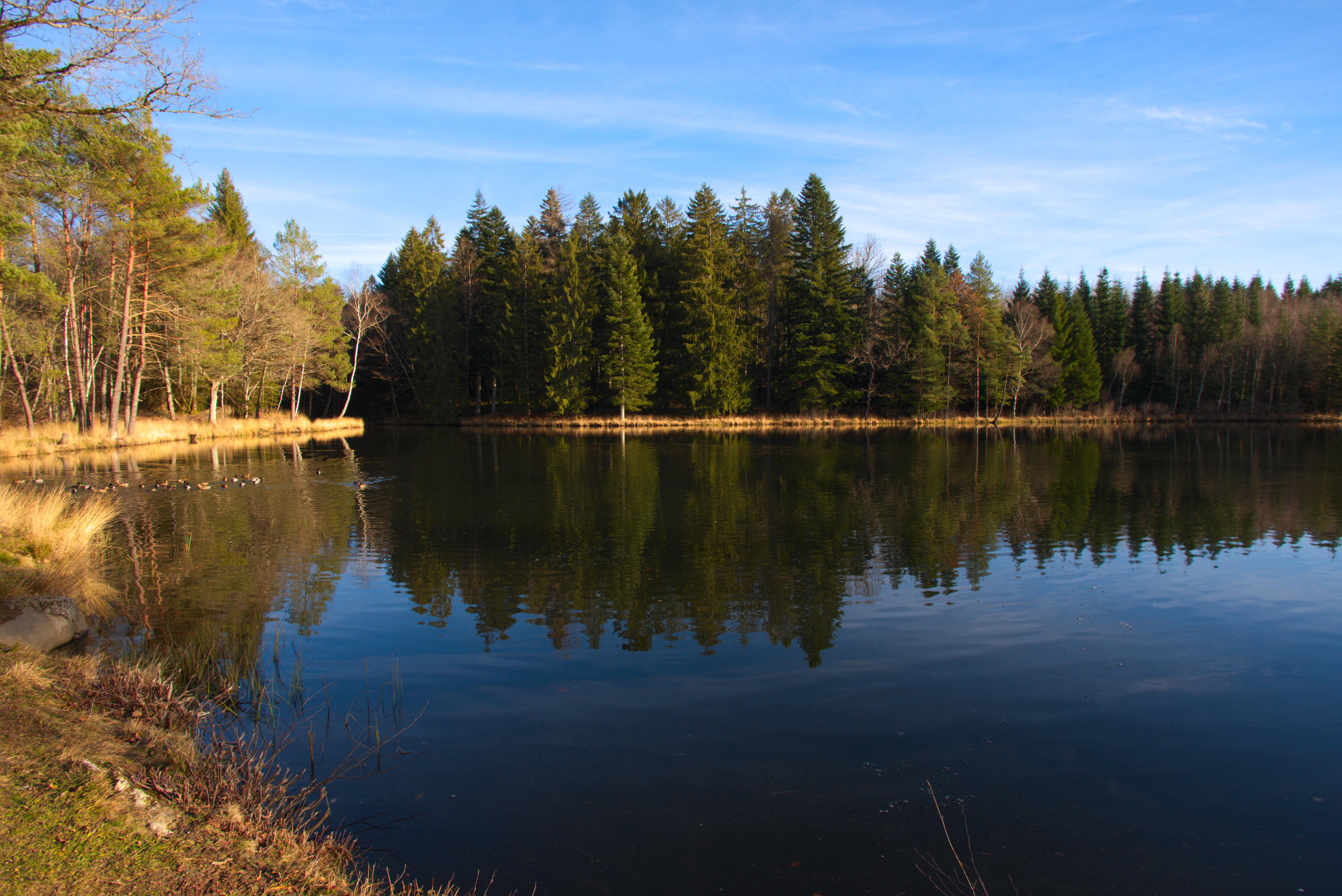
Etang des Ganes
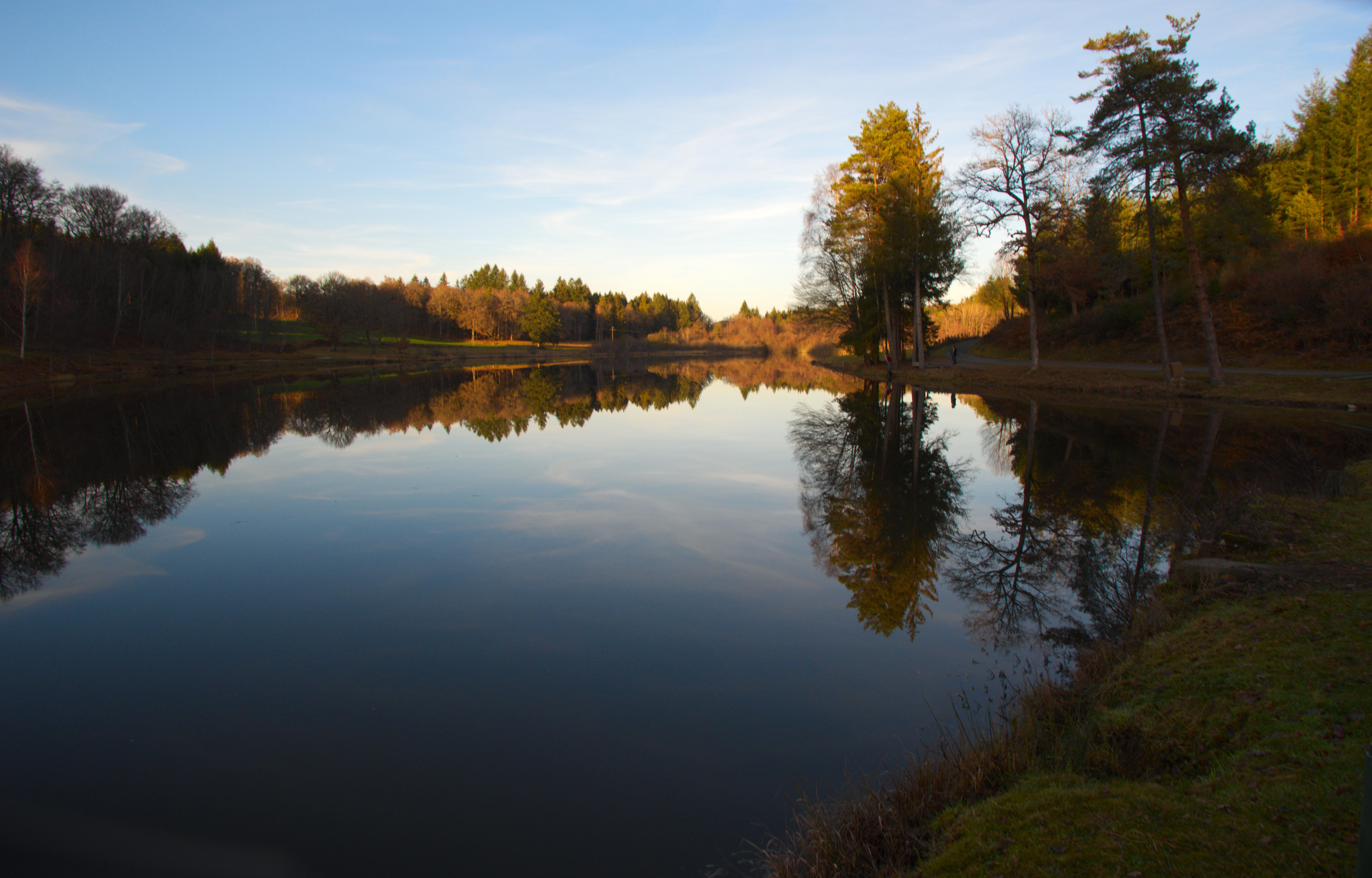
Etang communal de Viers
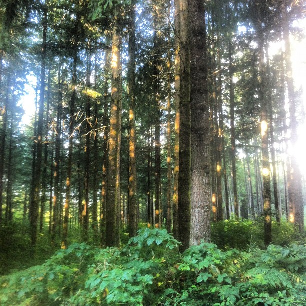
#forest, 2015
Topographic Map of Correze, France
Find elevation by address:

Places in Correze, France:
Saint-geniez-ô-merle
Seilhac
Laroche-près-feyt
Venarsal
Masseret
Perpezac-le-noir
Saint-aulaire
Montaignac-saint-hippolyte
Neuvic
Uzerche
Beyssac
Naves
Saint-paul
Argentat
Saint-chamant
Vigeois
Ussel
Clergoux
Vitrac-sur-montane
Chanac-les-mines
Tulle
Brive-la-gaillarde
Cublac
Sexcles
Eyrein
Places near Correze, France:
4 Chemin de Gros, Montaignac-Saint-Hippolyte, France
Montaignac-saint-hippolyte
Vitrac-sur-montane
Eyrein
Le Rouget
Clergoux
Saint-paul
22 Le Bourg, Saint-Paul, France
6 Place Henri Queuille, Neuvic, France
Neuvic
Chanac-les-mines
Naves
31 Soleilhavoup E, Naves, France
8 Boussaguet, Seilhac, France
Tulle
Château De La Diège
1 La Vergne, Seilhac, France
Seilhac
Ussel
4 Place de l'Église, Saint-Chamant, France
Recent Searches:
- Elevation of Corso Fratelli Cairoli, 35, Macerata MC, Italy
- Elevation of Tallevast Rd, Sarasota, FL, USA
- Elevation of 4th St E, Sonoma, CA, USA
- Elevation of Black Hollow Rd, Pennsdale, PA, USA
- Elevation of Oakland Ave, Williamsport, PA, USA
- Elevation of Pedrógão Grande, Portugal
- Elevation of Klee Dr, Martinsburg, WV, USA
- Elevation of Via Roma, Pieranica CR, Italy
- Elevation of Tavkvetili Mountain, Georgia
- Elevation of Hartfords Bluff Cir, Mt Pleasant, SC, USA