Elevation of Clergoux, France
Location: France > Correze >
Longitude: 1.968388
Latitude: 45.278836
Elevation: 540m / 1772feet
Barometric Pressure: 95KPa
Elevation Map:
Satellite Map:
Related Photos:
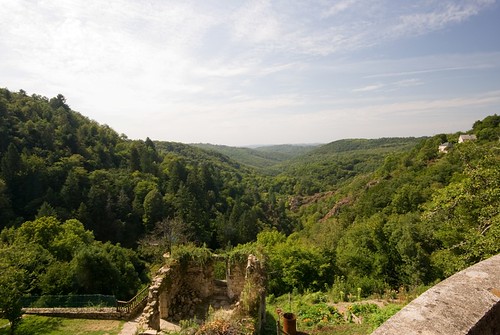
Gimel Les Cascades - Vista
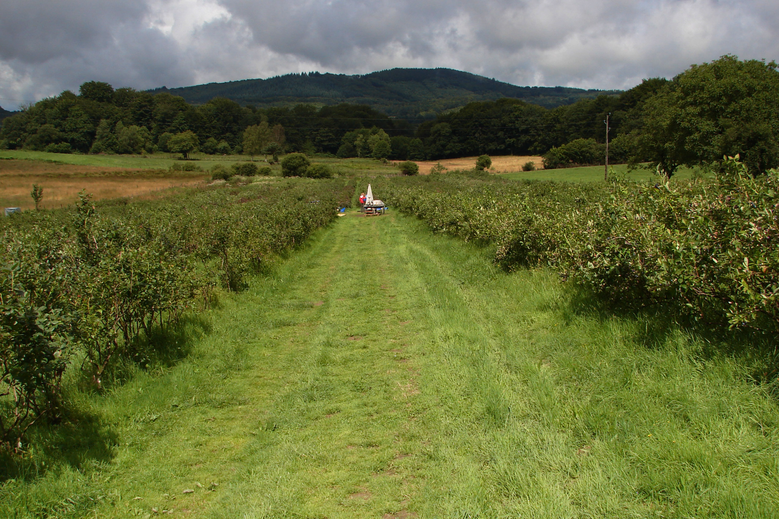
Blueberry Fields in the Corrèze
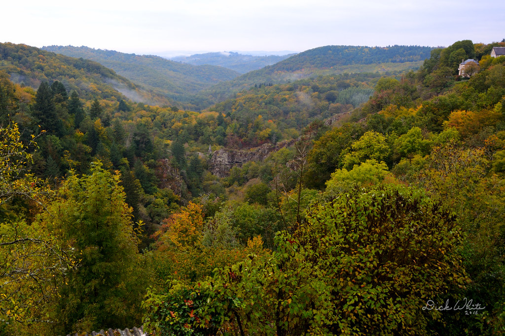
Gimel View
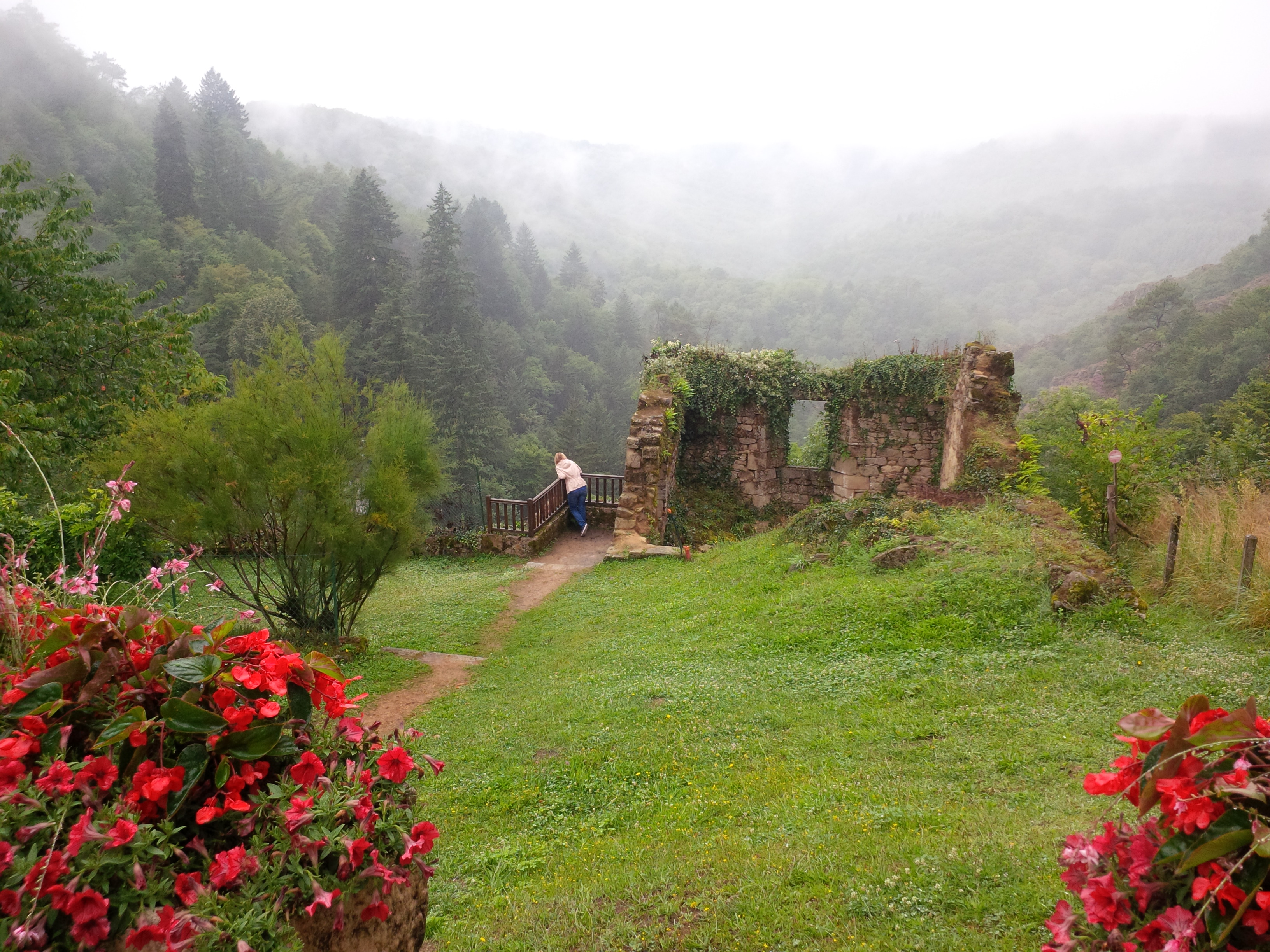
View down the valley from Gimel-les-Cascades
Topographic Map of Clergoux, France
Find elevation by address:

Places near Clergoux, France:
Le Rouget
Eyrein
Montaignac-saint-hippolyte
4 Chemin de Gros, Montaignac-Saint-Hippolyte, France
Saint-paul
22 Le Bourg, Saint-Paul, France
Vitrac-sur-montane
Chanac-les-mines
Correze
4 Place de l'Église, Saint-Chamant, France
Saint-chamant
Argentat
1 Rue Général Delmas, Argentat, France
Tulle
Naves
Saint-geniez-ô-merle
31 Soleilhavoup E, Naves, France
Combe Mauve
Sexcles
Merle
Recent Searches:
- Elevation of Corso Fratelli Cairoli, 35, Macerata MC, Italy
- Elevation of Tallevast Rd, Sarasota, FL, USA
- Elevation of 4th St E, Sonoma, CA, USA
- Elevation of Black Hollow Rd, Pennsdale, PA, USA
- Elevation of Oakland Ave, Williamsport, PA, USA
- Elevation of Pedrógão Grande, Portugal
- Elevation of Klee Dr, Martinsburg, WV, USA
- Elevation of Via Roma, Pieranica CR, Italy
- Elevation of Tavkvetili Mountain, Georgia
- Elevation of Hartfords Bluff Cir, Mt Pleasant, SC, USA