Elevation of Corner Hollow Ct, Draper, UT, USA
Location: United States > Utah > Salt Lake County > Draper >
Longitude: -111.87943
Latitude: 40.5072004
Elevation: 1357m / 4452feet
Barometric Pressure: 86KPa
Elevation Map:
Satellite Map:
Related Photos:
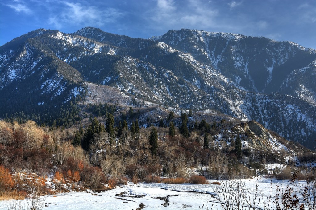
Little Cottonwood

Draper Temple at Sunset
Fields For Furrows

Harry Potter Magic Duel 095/365
The return of Spring.
Panoramic view of the Wasatch mountains [Explore 3 March 2016]

Oquirrh Mountain L.D.S. Temple, South Jordan, Utah (3)

Oquirrh Mountain L.D.S. Temple, South Jordan, Utah (2)

Presidents Day - American Danboard 51/365

Majestic Draper Temple at Blue Hour
Utah Valley

Natacha and Rudolph
Dissociation Station
Touching Down

Balloon Tour - Butterfly Garden
Wasatch mountains

Draper Utah Temple, Aged
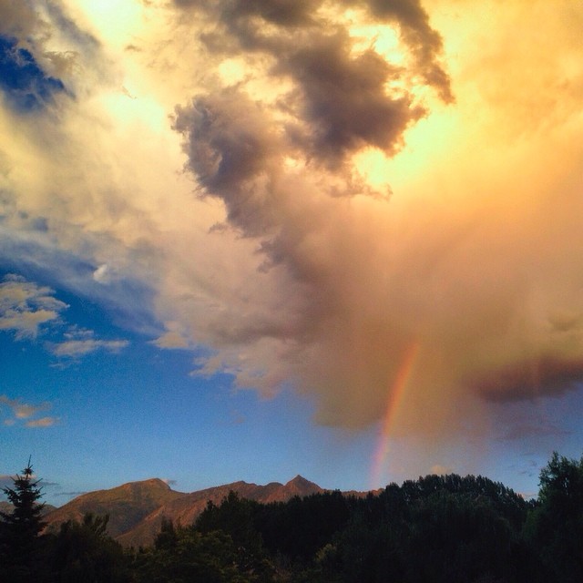
Thus was the view from the back porch before we ran off to chase the rest of the #sunset in the #utahsky...

View up the Mouth of LIttle Cottonwood Canyon

Jordan River Temple Pre Sunset

View from Mouth of LIttle Cottonwood Canyon

LDS Temple Spire

Moonrise over Wasatch Mountains, Utah

Salted Path
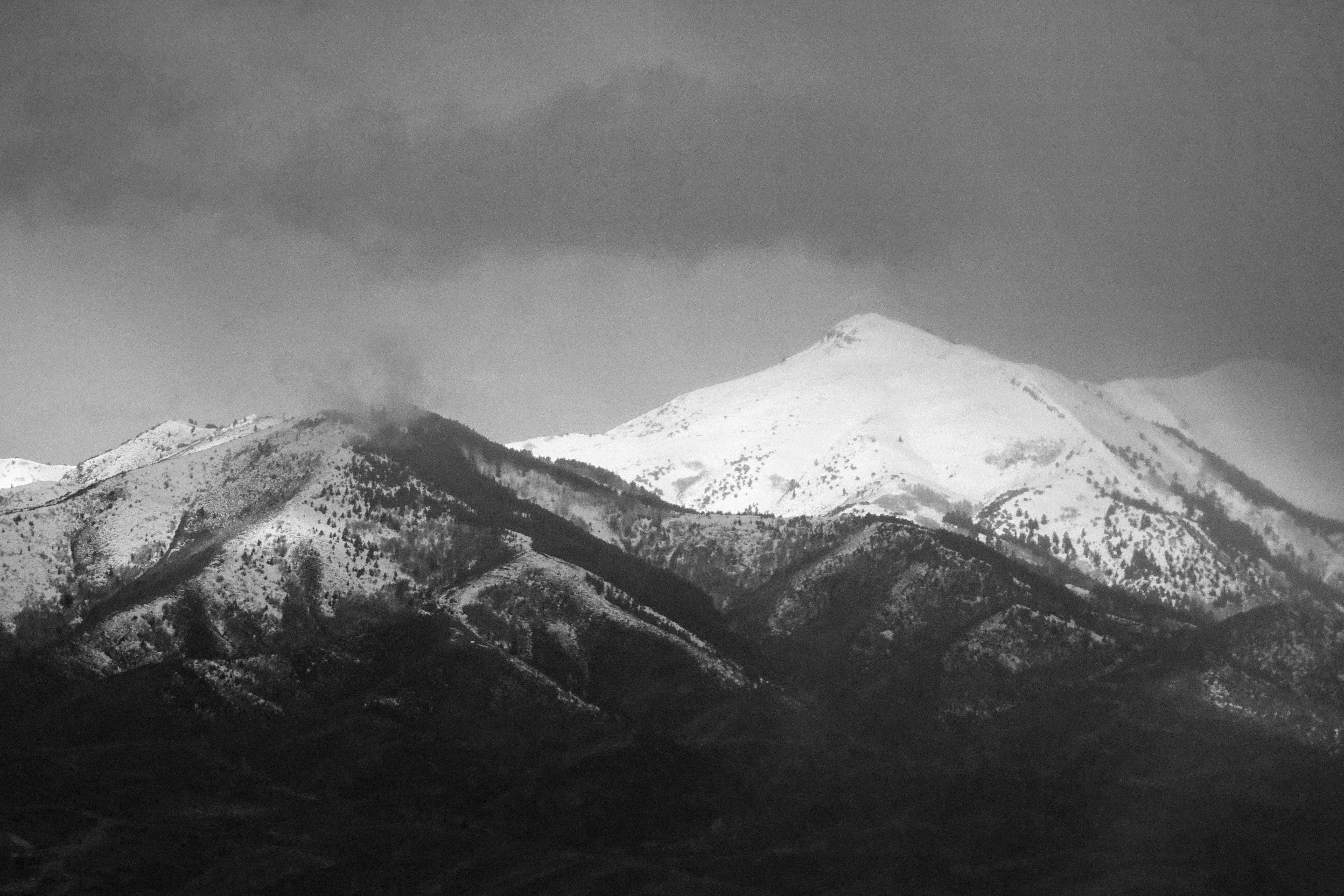
Storm Approaching
20150127-_JBS8307
Lower Bell Canyon Reservoir

Pieces Of My Shattered Mirror

Draper-West

the Fog goes on
Stair Of The Grain
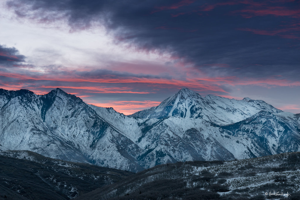
Evening's last rays of sun on Lone Peak
Stormy Skies
#paragliders #paragliding in #utah #summer2013 Awesome morning. Sweetness!!

20150203-_JBS8454.jpg

Sunset Over Tall Grass
Babbling brook burbling at #thanksgivingpointgardens
Topographic Map of Corner Hollow Ct, Draper, UT, USA
Find elevation by address:

Places near Corner Hollow Ct, Draper, UT, USA:
14327 Selina Ln
Corner Wood Drive
1052 Country Ln
604 Rocky Mouth Ln
951 Senior Band Rd
13509 S 1300 E
13603 Vestry Rd
1247 E Mike Weir Dr
1493 Lantern Ln
1272 E Wild Maple Ct
12933 Salz Way
1627 E Rolling Green Dr
1636 E Rolling Green Dr
1293 Fawn Pointe Ct
14104 S Somerset Hills Ct
14093 S Pumpkin Ridge Cv
14078 Canyon Vista Ln
1803 Mule Deer Dr
14248 Canyon Vine Cove
Granite Brook Court
Recent Searches:
- Elevation of Corso Fratelli Cairoli, 35, Macerata MC, Italy
- Elevation of Tallevast Rd, Sarasota, FL, USA
- Elevation of 4th St E, Sonoma, CA, USA
- Elevation of Black Hollow Rd, Pennsdale, PA, USA
- Elevation of Oakland Ave, Williamsport, PA, USA
- Elevation of Pedrógão Grande, Portugal
- Elevation of Klee Dr, Martinsburg, WV, USA
- Elevation of Via Roma, Pieranica CR, Italy
- Elevation of Tavkvetili Mountain, Georgia
- Elevation of Hartfords Bluff Cir, Mt Pleasant, SC, USA