Elevation of Core Creek Landing Road, Dover, NC, USA
Location: United States > North Carolina > Craven County > > Dover >
Longitude: -77.291963
Latitude: 35.289251
Elevation: 3m / 10feet
Barometric Pressure: 101KPa
Elevation Map:
Satellite Map:
Related Photos:
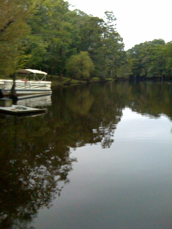
Neuse River Expedition Finished
Topographic Map of Core Creek Landing Road, Dover, NC, USA
Find elevation by address:

Places near Core Creek Landing Road, Dover, NC, USA:
7549 Nc-55
9040 Nc-55
Fort Barnwell
9505 Nc-55
240 Quinn Rd
5396 Nc-55
113 Turkey Quarter Creek Rd
1090 Wintergreen Rd
123 Turkey Quarter Creek Rd
Cove City
W Sunset Blvd, Cove City, NC, USA
Cove City Free Will Baptist
113 Trenton Rd
2315 State Rd 1401
194 Ralph Ln
170 Willis Rd
1, NC, USA
Sim Dawson Rd, New Bern, NC, USA
3765 Nc-55
Cow Pen Landing
Recent Searches:
- Elevation of Corso Fratelli Cairoli, 35, Macerata MC, Italy
- Elevation of Tallevast Rd, Sarasota, FL, USA
- Elevation of 4th St E, Sonoma, CA, USA
- Elevation of Black Hollow Rd, Pennsdale, PA, USA
- Elevation of Oakland Ave, Williamsport, PA, USA
- Elevation of Pedrógão Grande, Portugal
- Elevation of Klee Dr, Martinsburg, WV, USA
- Elevation of Via Roma, Pieranica CR, Italy
- Elevation of Tavkvetili Mountain, Georgia
- Elevation of Hartfords Bluff Cir, Mt Pleasant, SC, USA