Elevation of Cordova Township, MN, USA
Location: United States > Minnesota > Le Sueur County >
Longitude: -93.723200
Latitude: 44.3198797
Elevation: 315m / 1033feet
Barometric Pressure: 98KPa
Elevation Map:
Satellite Map:
Related Photos:

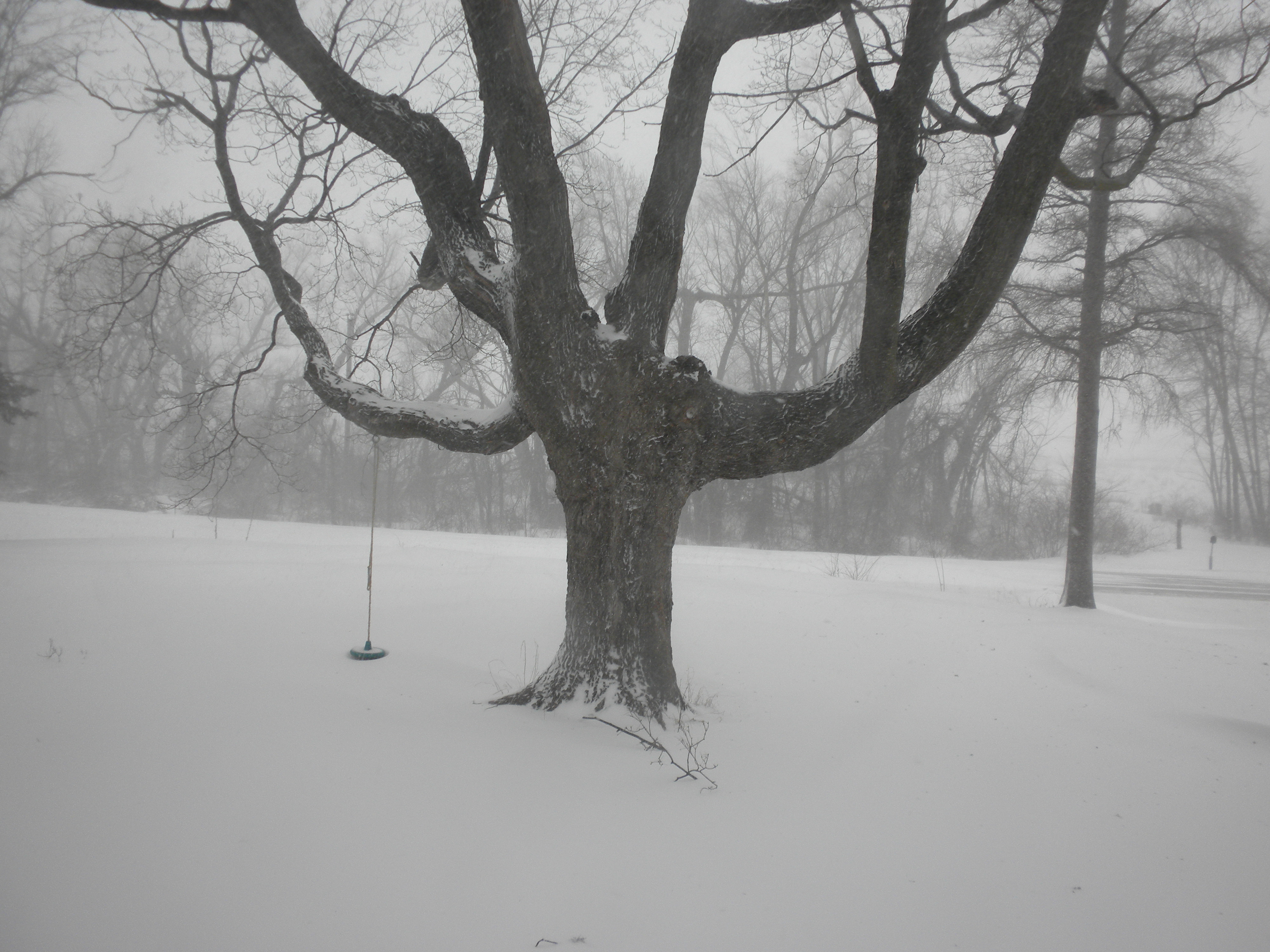
Storm II
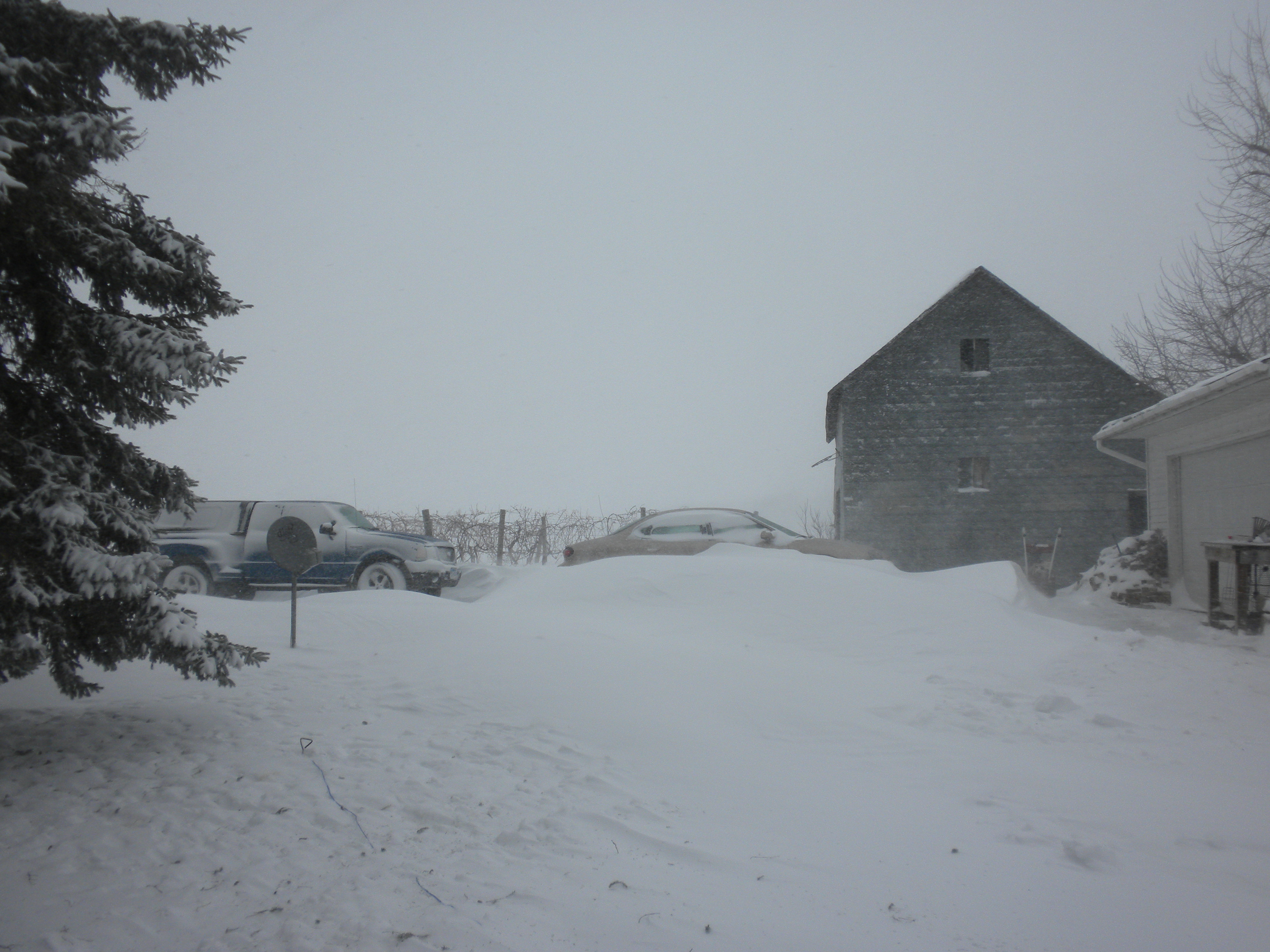
Storm I
Storm III
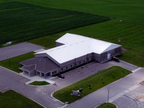
Le Center Plant

Enallagma vesperum

Pachydiplax longipennis

Enallagma sp.

Enallagma vesperum

Fishing at sunset
Sunrise on Sabre
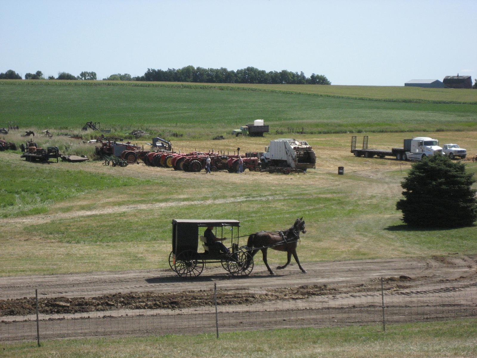
Le Sueur Power Show 041
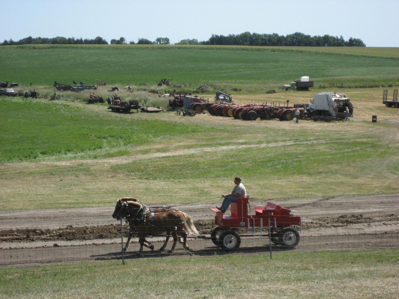
Le Sueur Power Show 040

Sympetrum vicinum

HIP_336146322.866171

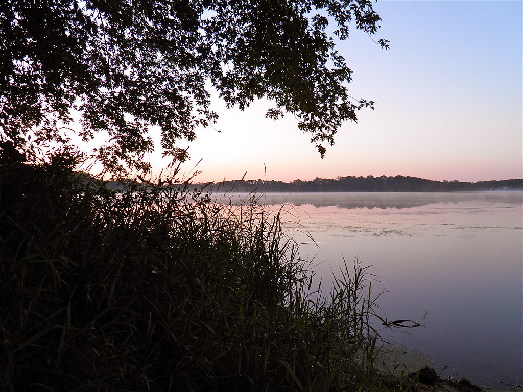
Minnesota September evening

In the field
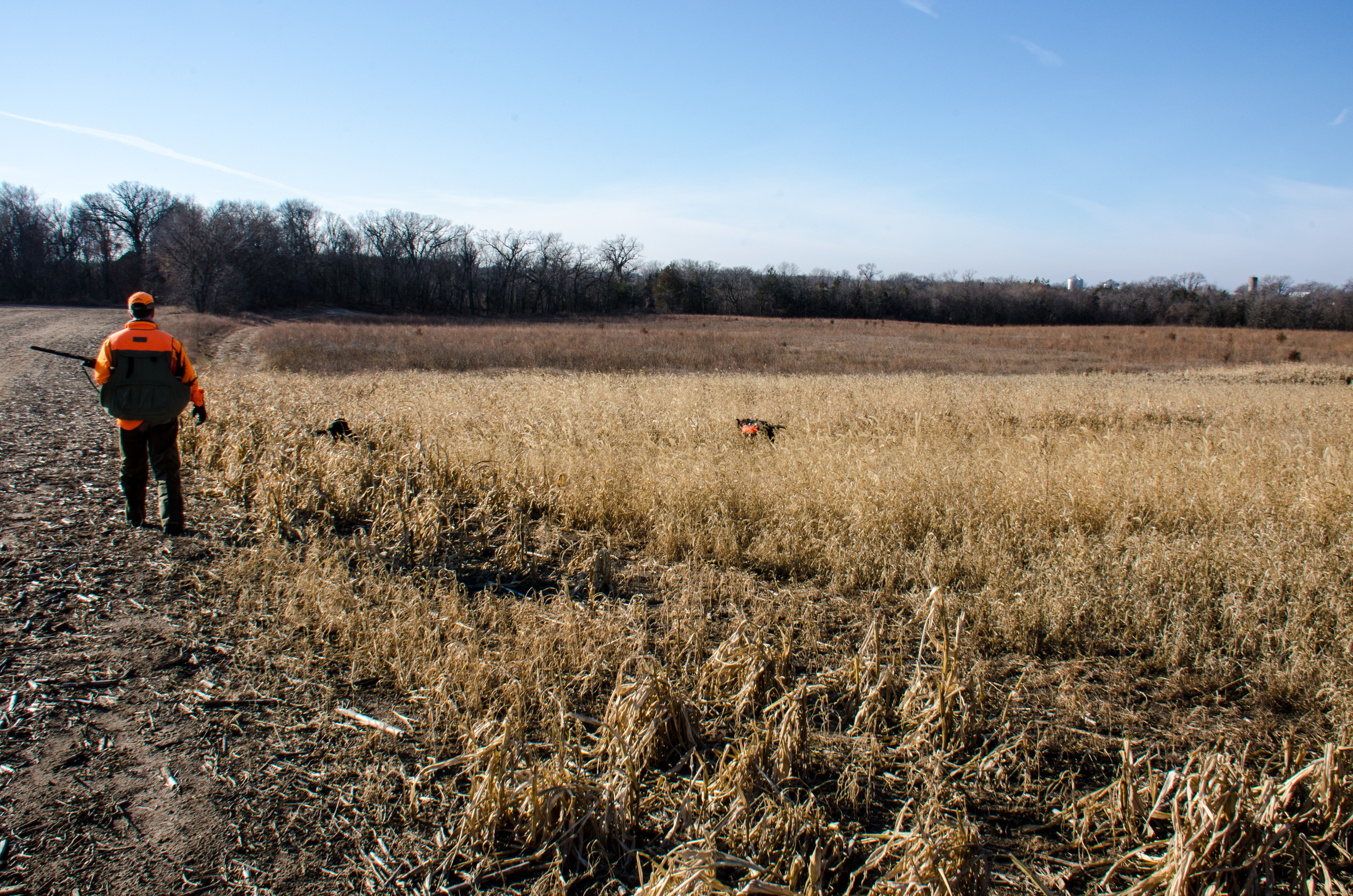
Caribou Gun Club pheasant hunt

Into the field
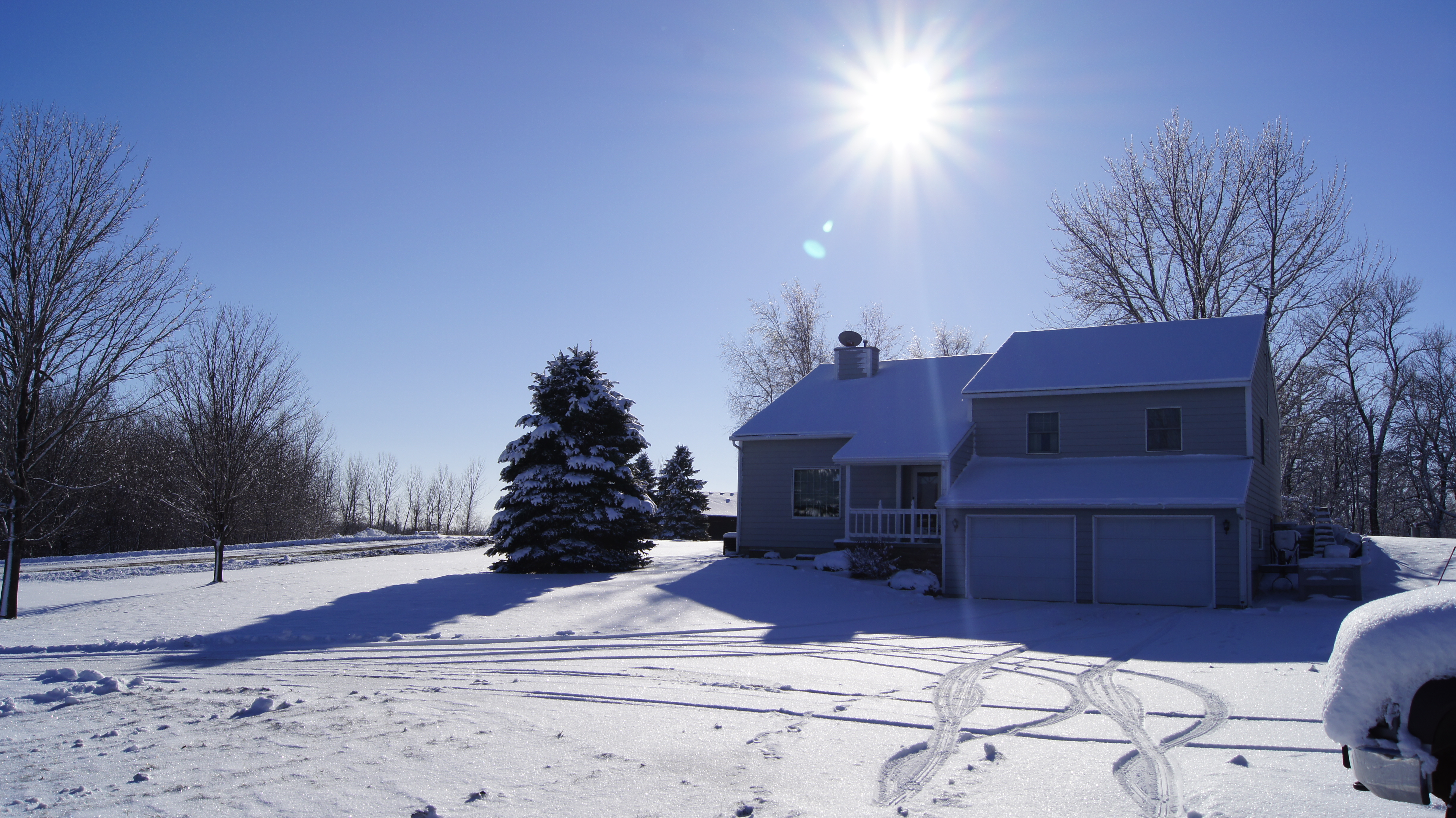
Snowy Landscape
Topographic Map of Cordova Township, MN, USA
Find elevation by address:

Places near Cordova Township, MN, USA:
Cannon River Rd, Le Center, MN, USA
47282 Beaver Dam Rd
325 S Waterville Ave
47742 241st Ave
Le Center
Klondike Hill
Lexington Township
Lexington Rd, Le Center, MN, USA
Elysian
20 NE 2nd St, Elysian, MN, USA
Chestnut Ave, Madison Lake, MN, USA
Kilkenny Rd, Waterville, MN, USA
Sharon Township
Caribou Gun Club
26881 320th St
Montgomery
1st St N, Montgomery, MN, USA
Tyrone Township
S Main St, Janesville, MN, USA
N 2nd St, Eagle Lake, MN, USA
Recent Searches:
- Elevation of Corso Fratelli Cairoli, 35, Macerata MC, Italy
- Elevation of Tallevast Rd, Sarasota, FL, USA
- Elevation of 4th St E, Sonoma, CA, USA
- Elevation of Black Hollow Rd, Pennsdale, PA, USA
- Elevation of Oakland Ave, Williamsport, PA, USA
- Elevation of Pedrógão Grande, Portugal
- Elevation of Klee Dr, Martinsburg, WV, USA
- Elevation of Via Roma, Pieranica CR, Italy
- Elevation of Tavkvetili Mountain, Georgia
- Elevation of Hartfords Bluff Cir, Mt Pleasant, SC, USA