Elevation of Corbeil Point Rd, Batchawana Bay, ON P0S 1A0, Canada

Location: Canada > Ontario > Algoma District > Algoma, Unorganized, North Part > Batchawana Bay >

Longitude: -84.609321

Latitude: 46.8971686

Elevation: 194m / 636feet

Barometric Pressure: 99KPa

Elevation Map:

elevation map of Corbeil Point Rd, Batchawana Bay, ON P0S 1A0, Canada

Satellite Map:

Satellite map of Corbeil Point Rd, Batchawana Bay, ON P0S 1A0, Canada

Related Photos:

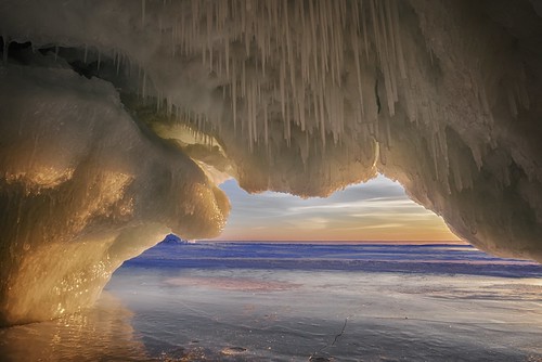
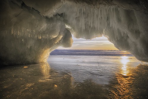
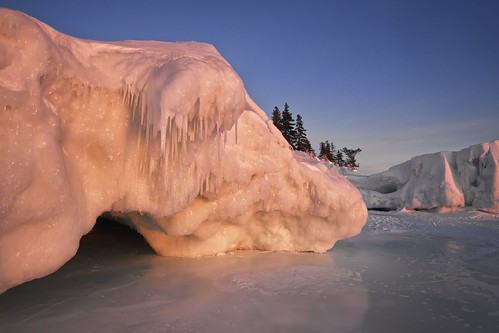
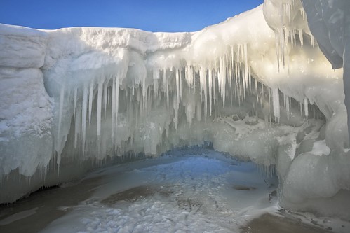
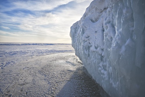
winter sunset seascape ontario canada cold ice nature water clouds danger landscape frozen wind horizon shoreline scenic icicle lakesuperior stalactite icesculpture pressureridge northernontario icecave seacave iceformation nikcolorefex 12°c tonalcontrast viveza algomadistrict sawpitbay highway17n pancakepoint hdrefexpro2 fujixe1 polarvortex xf14mm
lake superior ice cave
waterfall batchawana
Batchawana Falls
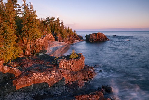
longexposure sunset sky seascape ontario canada nature water landscape horizon shoreline scenic lakesuperior highway17 northernontario stonebeach nikcolorefex sawpitbay hoyandx8 06ndsoftgrad detailextractor gnd2s xf1855mm leeseven5 fujixt1 cottrellcove neutraldensetyfilter
lake superior sunset
road river mine falls batchawana tribag
Batchawana River
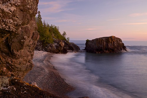
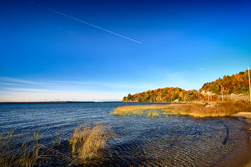
longexposure autumn trees sunset sky seascape ontario canada blur nature water clouds landscape evening rocks waves shoreline scenic surge lakesuperior highway17 northernontario stonebeach sawpitbay xf1855mm fujixt1 fall2015
waves, stone beach, sawpit bay
river falls waterfalls waterfa batchawana
Batchawana Falls
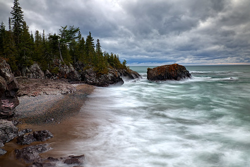
longexposure autumn sky seascape ontario canada storm blur nature water rain weather clouds landscape graffiti rocks waves wind horizon shoreline scenic lakesuperior highway17 northernontario stonebeach neutraldensityfilter nikcolorefex viveza sawpitbay procontrast hoyandx8 06ndsoftgrad detailextractor xf1855mm leeseven5 fujixt1 fall2015 cottrellcove
lake superior storm
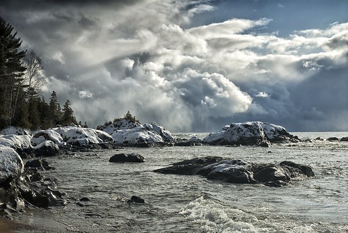
winter sky snow ontario storm beach rain weather clouds squall shoreline lakesuperior northernontario pancakebay sawpitbay highway17n hwy17n pancakepoint
storm crossing lake superior
winter sunset seascape ontario canada cold ice nature water danger landscape frozen wind shoreline scenic icicle lakesuperior stalactite icesculpture pressureridge northernontario icecave seacave nikcolorefex 12°c tonalcontrast viveza sawpitbay highway17n pancakepoint hdrefexpro2 fujixe1 polarvortex xf14mm
lake superior ice cave
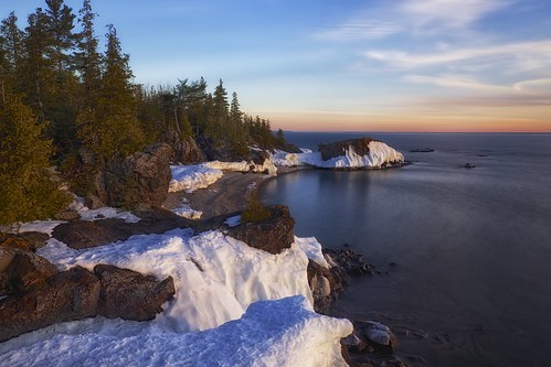
longexposure sunset sky snow seascape ontario canada nature water clouds landscape spring horizon shoreline scenic lakesuperior highway17 northernontario stonebeach 20seconds nikcolorefex viveza sunlightfilter sawpitbay 06ndsoftgrad detailextractor gnd2s fujixe1 xf1855mm leeseven5 hoyand1000 cottrellcove
lake superior sunset
winter sunset seascape ontario canada cold ice nature water clouds danger landscape frozen wind horizon shoreline scenic icicle lakesuperior stalactite icesculpture pressureridge northernontario icecave seacave iceformation nikcolorefex 12°c tonalcontrast viveza algomadistrict sawpitbay highway17n pancakepoint hdrefexpro2 fujixe1 polarvortex xf14mm
lake superior ice cave - - sunset
winter seascape ontario canada cold nature water danger landscape frozen wind shoreline scenic icicle lakesuperior stalactite icesculpture pressureridge northernontario icecave seacave nikcolorefex 12°c tonalcontrast viveza sawpitbay highway17n pancakepoint fujixe1 xf14mm
lake superior ice cave
winter sunset seascape ontario canada cold nature water danger landscape frozen wind shoreline scenic icicle transcanadahighway lakesuperior icesculpture pressureridge northernontario icecave seacave iceformation nikcolorefex 12°c tonalcontrast viveza algomadistrict sawpitbay highway17n pancakepoint fujixe1 xf1855mm
fire and ice- -lake superior ice cave
winter seascape ontario canada cold nature water danger landscape frozen wind shoreline scenic icicle lakesuperior stalactite icesculpture pressureridge northernontario icecave seacave nikcolorefex 12°c tonalcontrast viveza sawpitbay highway17n pancakepoint fujixe1 xf14mm
lake superior ice cave
winter seascape ontario canada cold nature water danger landscape frozen wind shoreline scenic icicle transcanadahighway lakesuperior icesculpture pressureridge northernontario icecave seacave nikcolorefex 12°c tonalcontrast viveza algomadistrict sawpitbay highway17n pancakepoint fujixe1 xf1855mm
lake superior ice cave
winter seascape ontario canada cold nature water night danger landscape frozen wind shoreline scenic icicle transcanadahighway lakesuperior icesculpture pressureridge northernontario icecave seacave iceformation nikcolorefex 12°c tonalcontrast viveza algomadistrict sawpitbay highway17n pancakepoint fujixe1 xf1855mm
lake superior ice cave -- night
5I3V8328-编辑
longexposure sunset sky seascape ontario canada nature water landscape horizon shoreline scenic lakesuperior highway17 northernontario stonebeach nikcolorefex sawpitbay hoyandx8 06ndsoftgrad detailextractor gnd2s xf1855mm leeseven5 fujixt1 cottrellcove neutraldensetyfilter
lake superior sunset
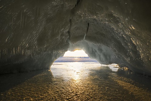
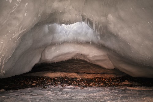
longexposure winter sunset seascape ontario canada cold nature water danger landscape frozen rocks hole wind stones shoreline scenic icicle lakesuperior stalactite icesculpture pressureridge northernontario icecave seacave 2seconds iceformation nikcolorefex 12°c tonalcontrast viveza sawpitbay highway17n pancakepoint fujixe1 polarvortex xf14mm
lake superior ice cave -- rear
winter shadow seascape ontario canada cold nature water backlight clouds danger landscape frozen wind horizon shoreline scenic sunny lakesuperior icesculpture pressureridge northernontario iceformation nikcolorefex 12°c tonalcontrast viveza sawpitbay highway17n iceencrusted pancakepoint fujixe1 xf1855mm
lake superior ice wall
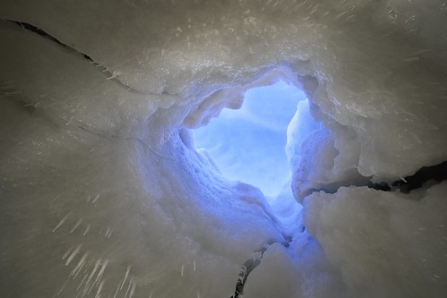
winter sunset sky seascape ontario canada cold nature water clouds danger landscape frozen wind shoreline scenic ceiling icicle lakesuperior stalactite icesculpture pressureridge northernontario icecave seacave nikcolorefex 12°c tonalcontrast viveza algomadistrict sawpitbay highway17n pancakepoint fujixe1 polarvortex xf14mm
lake superior ice cave -- hole