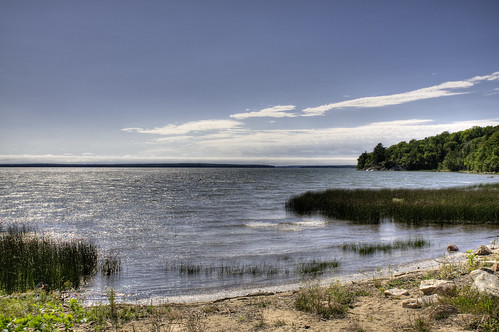
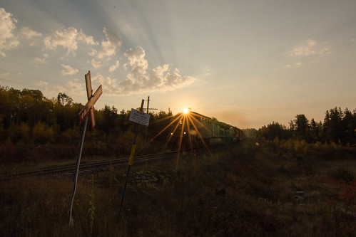
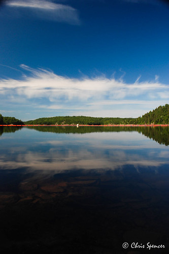
Elevation map of Algoma, Unorganized, North Part, ON, Canada
Location: Canada > Ontario > Algoma District >
Longitude: -84.214732
Latitude: 47.7762571
Elevation: 516m / 1693feet
Barometric Pressure: 95KPa
Related Photos:
Topographic Map of Algoma, Unorganized, North Part, ON, Canada
Find elevation by address:

Places in Algoma, Unorganized, North Part, ON, Canada:
Goulais River
Batchawana Bay
Shadow Lake
70 ON-, Algoma, Unorganized, North Part, ON P0R, Canada
Ontario 129
Leeburn
P0s 1j0
Places near Algoma, Unorganized, North Part, ON, Canada:
Devon
Shadow Lake
Stokely Creek Lodge
Five Mile Lake Provincial Park
P0s 1j0
Nemegos
Searchmont Resort
28 Turmaine Rd, Goulais River, ON P0S 1E0, Canada
302 Bellevue Valley Rd
ON-, Goulais River, ON P0S 1E0, Canada
Nimitz Lake
Upper Island Lake
Crystal Lake
2528 Trans-canada Hwy
P6a 6j8
6 Peoples Rd, Sault Ste. Marie, ON P6A 5K8, Canada
750 Great Northern Rd
1239 Trans-canada Hwy
24 Pinemore Blvd, Sault Ste. Marie, ON P6B 4E3, Canada
Malabar Drive
Recent Searches:
- Elevation of Corso Fratelli Cairoli, 35, Macerata MC, Italy
- Elevation of Tallevast Rd, Sarasota, FL, USA
- Elevation of 4th St E, Sonoma, CA, USA
- Elevation of Black Hollow Rd, Pennsdale, PA, USA
- Elevation of Oakland Ave, Williamsport, PA, USA
- Elevation of Pedrógão Grande, Portugal
- Elevation of Klee Dr, Martinsburg, WV, USA
- Elevation of Via Roma, Pieranica CR, Italy
- Elevation of Tavkvetili Mountain, Georgia
- Elevation of Hartfords Bluff Cir, Mt Pleasant, SC, USA


