Elevation of 70 ON-, Algoma, Unorganized, North Part, ON P0R, Canada
Location: Canada > Ontario > Algoma District > Algoma, Unorganized, North Part >
Longitude: -83.274579
Latitude: 46.4378025
Elevation: 241m / 791feet
Barometric Pressure: 98KPa
Elevation Map:
Satellite Map:
Related Photos:

bluff lookout

View from Cabin 2

Wakomata Blues
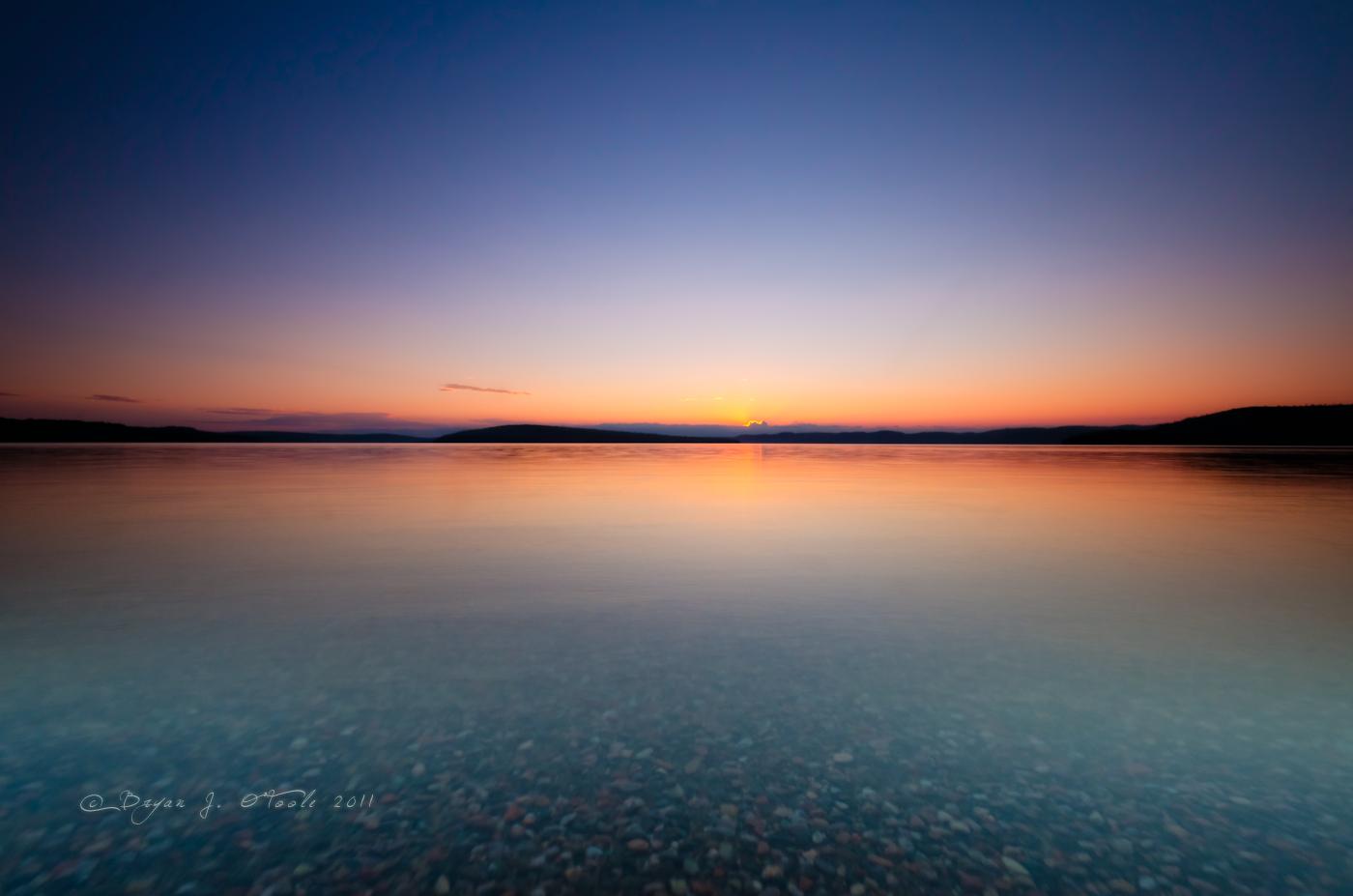
Simple Sunset

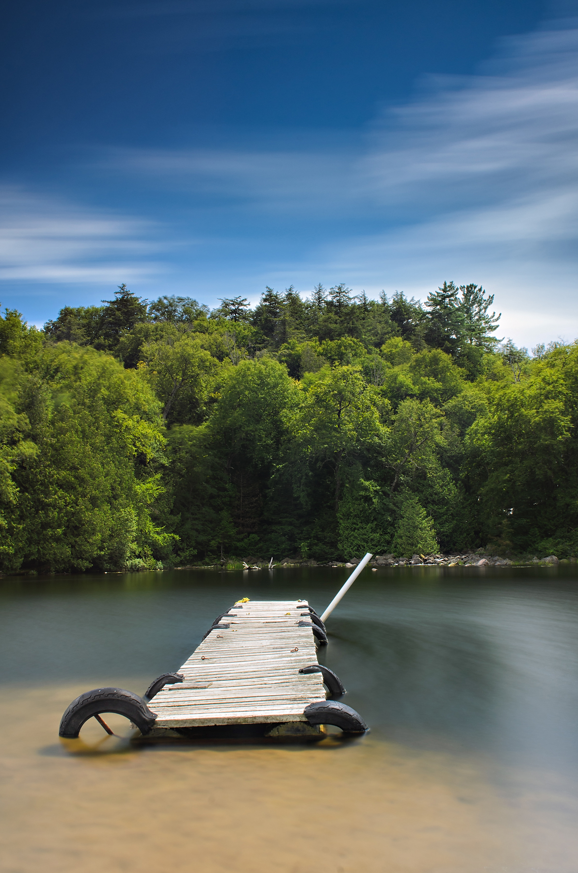
Warnock Lake

Driftwood Sunset
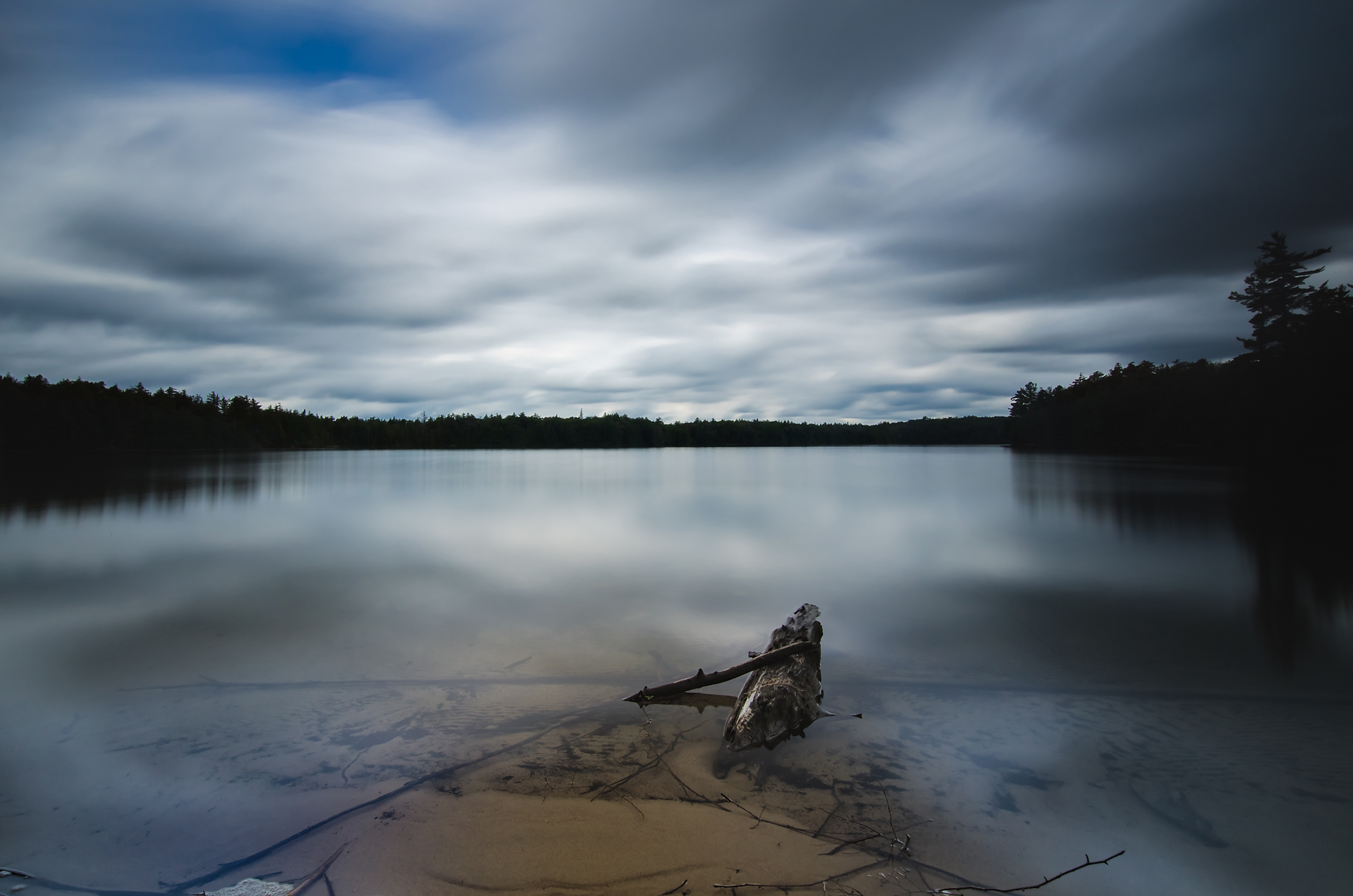
Damn Lake

A Drifting Sunset

Time to Unwind
High Waters

Chiblow Lake
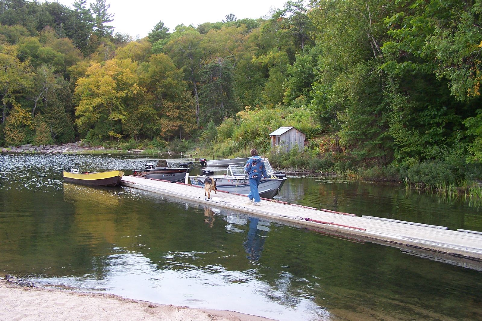
Snowshoe Camp day 2 9 12 2006 (60)
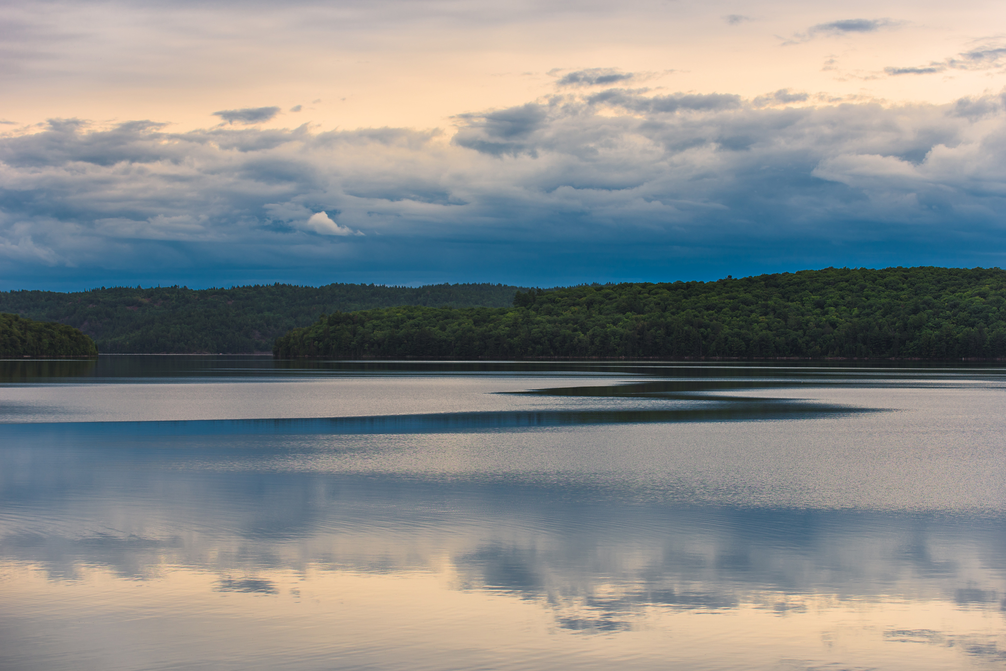
Clouds & Currents
Topographic Map of 70 ON-, Algoma, Unorganized, North Part, ON P0R, Canada
Find elevation by address:

Places near 70 ON-, Algoma, Unorganized, North Part, ON P0R, Canada:
Hyslop Lake
Petauguin Lake Road
Leeburn
Ontario 129
Shadow Lake
Searchmont Resort
P0s 1j0
Crystal Lake
1239 Trans-canada Hwy
ON-, Goulais River, ON P0S 1E0, Canada
819 Trunk Rd
Upper Island Lake
Shannon Rd, Sault Ste. Marie, ON P6A 4L1, Canada
P6a 6j8
Riverside Dr, Sault Ste. Marie, MI, USA
302 Bellevue Valley Rd
24 Pinemore Blvd, Sault Ste. Marie, ON P6B 4E3, Canada
P6b 2z4
750 Great Northern Rd
2528 Trans-canada Hwy
Recent Searches:
- Elevation of Corso Fratelli Cairoli, 35, Macerata MC, Italy
- Elevation of Tallevast Rd, Sarasota, FL, USA
- Elevation of 4th St E, Sonoma, CA, USA
- Elevation of Black Hollow Rd, Pennsdale, PA, USA
- Elevation of Oakland Ave, Williamsport, PA, USA
- Elevation of Pedrógão Grande, Portugal
- Elevation of Klee Dr, Martinsburg, WV, USA
- Elevation of Via Roma, Pieranica CR, Italy
- Elevation of Tavkvetili Mountain, Georgia
- Elevation of Hartfords Bluff Cir, Mt Pleasant, SC, USA