Elevation of Cooyar Rangemore Rd, Cooyar QLD, Australia
Location: Australia > Queensland > Toowoomba Regional > Cooyar >
Longitude: 151.781129
Latitude: -26.991817
Elevation: 530m / 1739feet
Barometric Pressure: 95KPa
Elevation Map:
Satellite Map:
Related Photos:

Standing at the Gates of Hell

Whatever tears one may shed, in the end one always blows one's nose.

Fig at Cooyah, Palms National Park, Toowoomba-Kingaroy Queensland 2016 48

Fig at Cooyah, Palms National Park, Toowoomba-Kingaroy Queensland 2016 24

Cooyah, Palms National Park, Toowoomba-Kingaroy Queensland 2016 23

Cooyah, Palms National Park, Toowoomba-Kingaroy Queensland 2016 26

The brown lipped oak at Cooyah, Palms National Park, Toowoomba-Kingaroy Queensland 2016 42

Grass trees at Coomba Swimming Hole

Wide Open Spaces
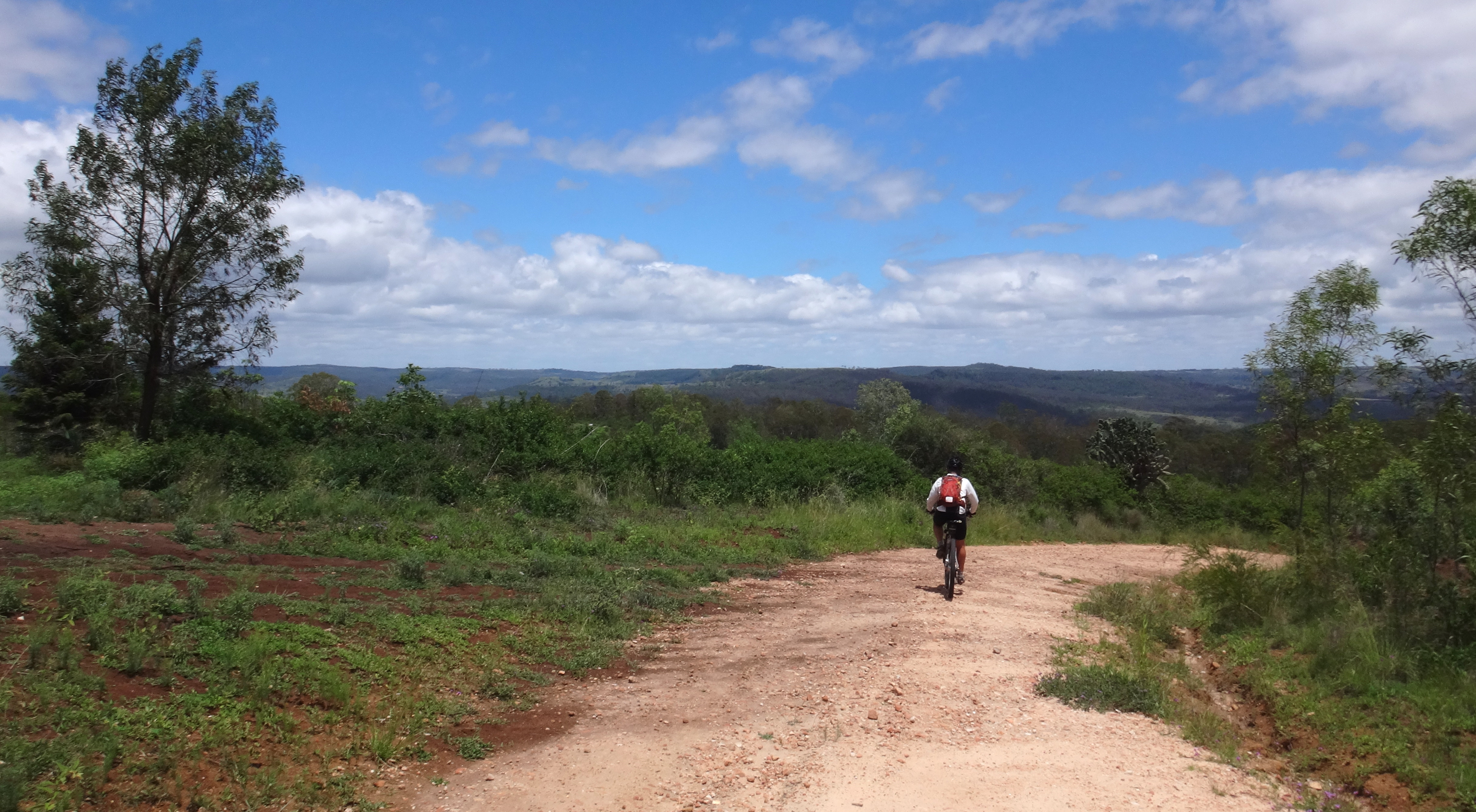
Wide Open Spaces

Copper Creek Road
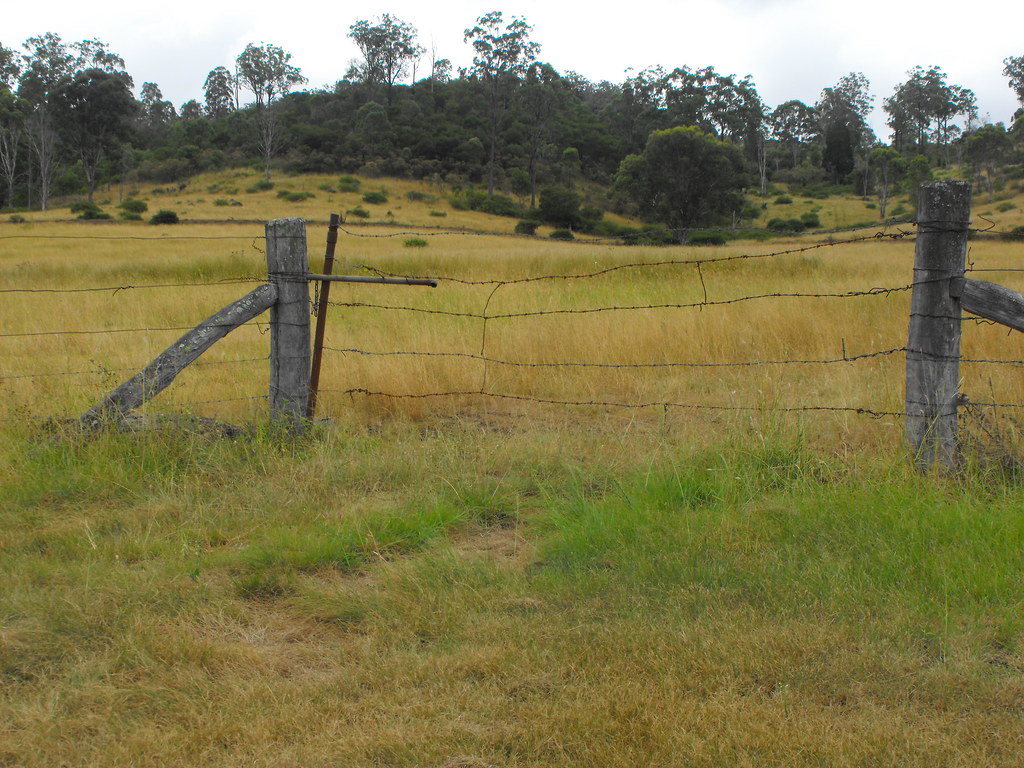
Wire and Picket gate Thornville Qld 2016-03-20

Wide Open Spaces

Cause Rd

Paddock Bashing
Topographic Map of Cooyar Rangemore Rd, Cooyar QLD, Australia
Find elevation by address:

Places near Cooyar Rangemore Rd, Cooyar QLD, Australia:
Cooyar
321 Cooyar Rangemore Rd
Mount Darry
Bunya Mountains
Mount Kiangarow
Pechey Maclagan Road
Goombungee
68 Golf Course Rd
68 Keats Rd
503 Oakey Pittsworth Rd
Aubigny
Seymours Road
562 Drayton Wellcamp Rd
Wellcamp
509 Biddeston Linthorpe Rd
232 E Drews Rd
6 Kennard St
11 Kennard St
Westbrook
Toowoomba Regional
Recent Searches:
- Elevation of Corso Fratelli Cairoli, 35, Macerata MC, Italy
- Elevation of Tallevast Rd, Sarasota, FL, USA
- Elevation of 4th St E, Sonoma, CA, USA
- Elevation of Black Hollow Rd, Pennsdale, PA, USA
- Elevation of Oakland Ave, Williamsport, PA, USA
- Elevation of Pedrógão Grande, Portugal
- Elevation of Klee Dr, Martinsburg, WV, USA
- Elevation of Via Roma, Pieranica CR, Italy
- Elevation of Tavkvetili Mountain, Georgia
- Elevation of Hartfords Bluff Cir, Mt Pleasant, SC, USA