Elevation of 68 Keats Rd, Goombungee QLD, Australia
Location: Australia > Queensland > Toowoomba Regional > Goombungee >
Longitude: 151.847617
Latitude: -27.331727
Elevation: 508m / 1667feet
Barometric Pressure: 95KPa
Elevation Map:
Satellite Map:
Related Photos:

October 1995 - Pilatus PC-6 B1H2 "Turbo Porter" (ADF Serial A14-690) cockpit view, Museum of Australian Army Flying, Oakey, Queensland, Australia
King of the Road

Home time.

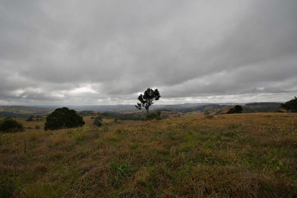
CQ09 Day1 Goombungee

What once was ........

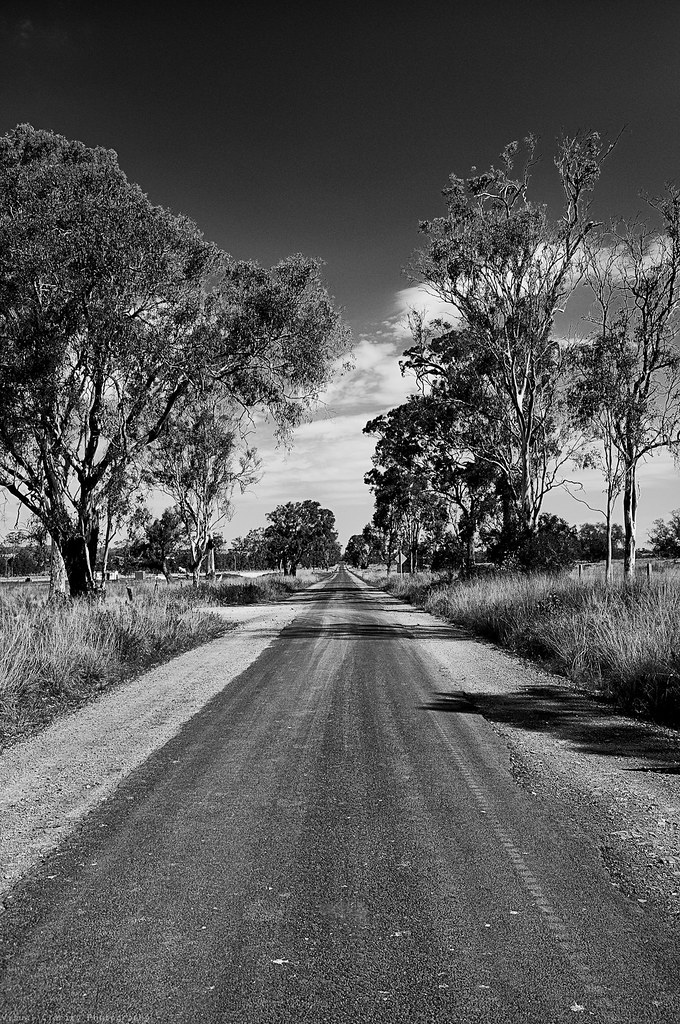
The Long Dirt Road

Just got home from a week away visiting friends in #Toowoomba. Love the wide open spaces & being on holidays. #Australian #bush #landscapes #bluesky #dusk #australiagram_qld

Toowoomba country road

Capturing The Photograph

CQ09 Day 2 Goombungee to Kaimkillenbun
CQ09 Day 2 Goombungee to Kaimkillenbun
Topographic Map of 68 Keats Rd, Goombungee QLD, Australia
Find elevation by address:

Places near 68 Keats Rd, Goombungee QLD, Australia:
68 Golf Course Rd
Goombungee
Pechey Maclagan Road
Mount Darry
503 Oakey Pittsworth Rd
562 Drayton Wellcamp Rd
Wellcamp
232 E Drews Rd
6 Kennard St
11 Kennard St
Westbrook
Aubigny
509 Biddeston Linthorpe Rd
321 Cooyar Rangemore Rd
Cooyar
566 Cooyar Rangemore Rd
1754 Toowoomba Karara Rd
Toowoomba Regional
Bunya Mountains
Mount Kiangarow
Recent Searches:
- Elevation of Corso Fratelli Cairoli, 35, Macerata MC, Italy
- Elevation of Tallevast Rd, Sarasota, FL, USA
- Elevation of 4th St E, Sonoma, CA, USA
- Elevation of Black Hollow Rd, Pennsdale, PA, USA
- Elevation of Oakland Ave, Williamsport, PA, USA
- Elevation of Pedrógão Grande, Portugal
- Elevation of Klee Dr, Martinsburg, WV, USA
- Elevation of Via Roma, Pieranica CR, Italy
- Elevation of Tavkvetili Mountain, Georgia
- Elevation of Hartfords Bluff Cir, Mt Pleasant, SC, USA