Elevation map of Coonamble Shire Council, Coonamble, NSW, Australia
Location: Australia > New South Wales >
Longitude: 148.189292
Latitude: -30.790320
Elevation: 155m / 509feet
Barometric Pressure: 99KPa
Elevation Map:
Satellite Map:
Related Photos:
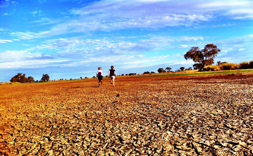
Day 110 outtake

Day 111 outtake
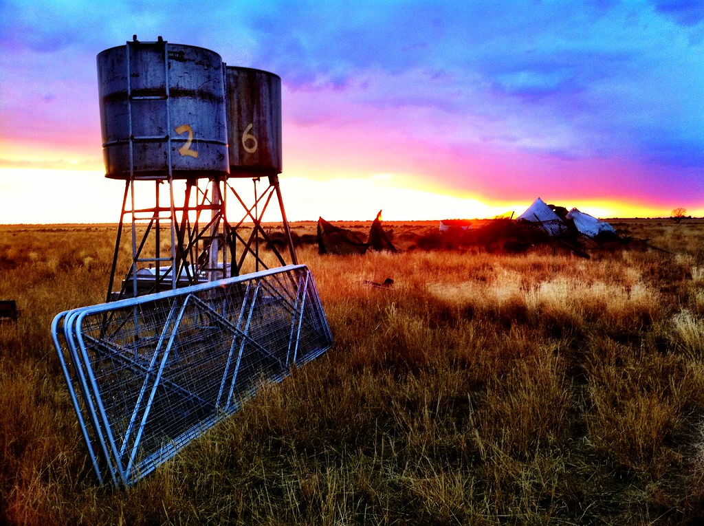
Day 111: 21 April 2011
Day 110: 20 April 2011 Explored
2009-11-26 11-09
Topographic Map of Coonamble Shire Council, Coonamble, NSW, Australia
Find elevation by address:

Places in Coonamble Shire Council, Coonamble, NSW, Australia:
Places near Coonamble Shire Council, Coonamble, NSW, Australia:
Recent Searches:
- Elevation of Corso Fratelli Cairoli, 35, Macerata MC, Italy
- Elevation of Tallevast Rd, Sarasota, FL, USA
- Elevation of 4th St E, Sonoma, CA, USA
- Elevation of Black Hollow Rd, Pennsdale, PA, USA
- Elevation of Oakland Ave, Williamsport, PA, USA
- Elevation of Pedrógão Grande, Portugal
- Elevation of Klee Dr, Martinsburg, WV, USA
- Elevation of Via Roma, Pieranica CR, Italy
- Elevation of Tavkvetili Mountain, Georgia
- Elevation of Hartfords Bluff Cir, Mt Pleasant, SC, USA