Elevation map of Collarenebri NSW, Australia

Location: Australia > New South Wales >

Longitude: 148.578558

Latitude: -29.543023

Elevation: 146m / 479feet

Barometric Pressure: 100KPa

Elevation Map:

elevation map of Collarenebri NSW, Australia

Satellite Map:

Satellite map of Collarenebri NSW, Australia

Related Photos:

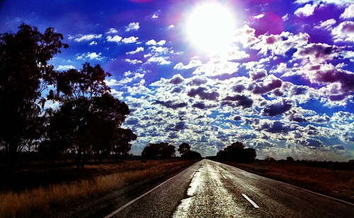
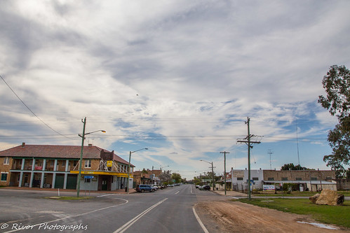
road clouds outback day115 iphone 25411 i365 day115365 3652011 365the2011edition
Day 115: 25 April 2011
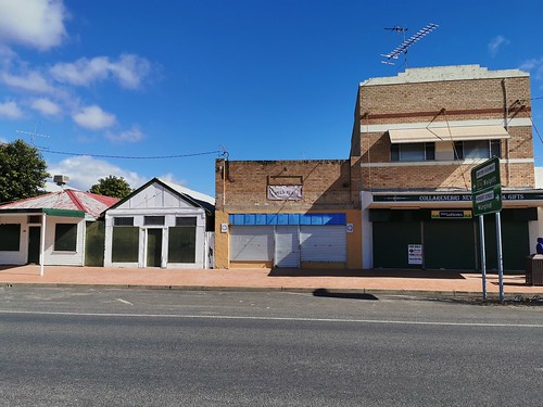
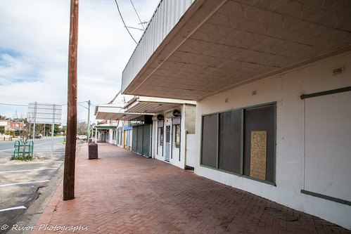
australia newsouthwales nsw collarenebri shops abandoned
Collarenebri NSW - abandoned in WIlson Street
20190618_0783 Grawin Creek Bridge
20190618_0784 Grawin Creek
20190618_0785 Grawin Creek
20190618_0786 Grawin Creek
20190618_0787 Tattersalls Hotel - Collarenebri
20190618_0788 Tattersalls Hotel - Collarenebri
20190618_0789 St Johns Church in Collarenebri
20190618_0790 St Johns Church in Collarenebri sign
20190618_0792 Hooded Robin - Melanodryas cucullata
australia newsouthwales nsw collarenebri barwon river huawei mate20pro lyal29 geotagged
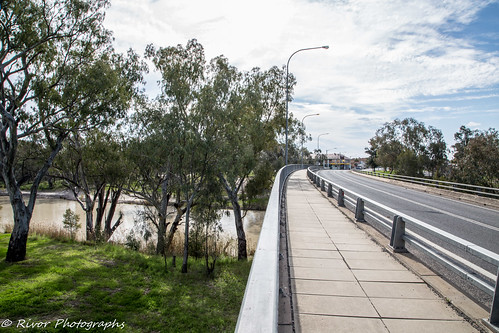
Collarenebri NSW - bridge over Barwon River
australia newsouthwales nsw collarenebri barwon river huawei mate20pro lyal29 geotagged
Collarenebri NSW - Barwon River near the Gwydir Highway bridge
australia newsouthwales nsw mehi river collarenebri dry huawei mate20pro lyal29 geotagged
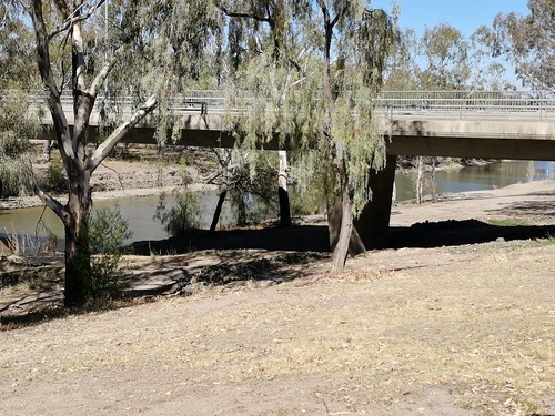
Collarenebri NSW - Mehi River is dry near Gwyder Highway bridge
collarenebri newsouthwales australia au
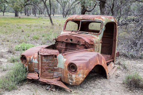
Rusting Relic
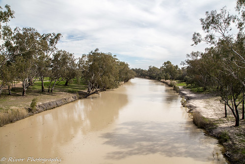
river collarenebri newsouthwales australia au
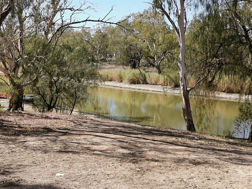
Barwon River at Collarenebri
collarenebri newsouthwales australia au
Gwydir Highway
collarenebri newsouthwales australia au
Gone out of Business
river collarenebri newsouthwales australia au
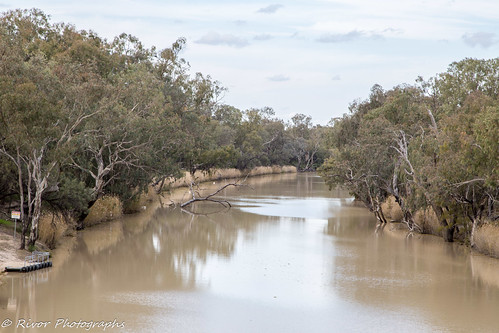
Barwon River at Collarenebri
river collarenebri newsouthwales australia au
Rocky Ford Bridge over the Barwon River
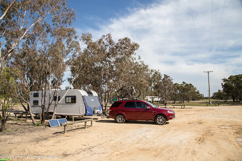
bailey caravan collarenebri newsouthwales australia au
Collarenebri Free Camp Ground