Elevation of Contour Ave, Nuevo, CA, USA
Location: United States > California > Riverside County > Nuevo >
Longitude: -117.12139
Latitude: 33.8094205
Elevation: 485m / 1591feet
Barometric Pressure: 96KPa
Elevation Map:
Satellite Map:
Related Photos:

Sunset Valley I
I Should Of Known Something Was Wrong ...

Shooting Spot in the Hills

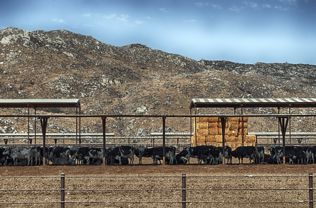
Golden Chandelier

Menifee Sunset
Valley View II
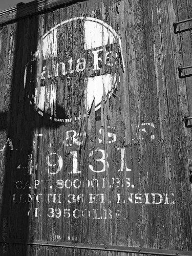
Shadow Crossing Santa Fe
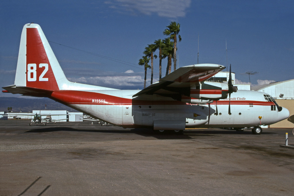
N135FF (Tanker 82)
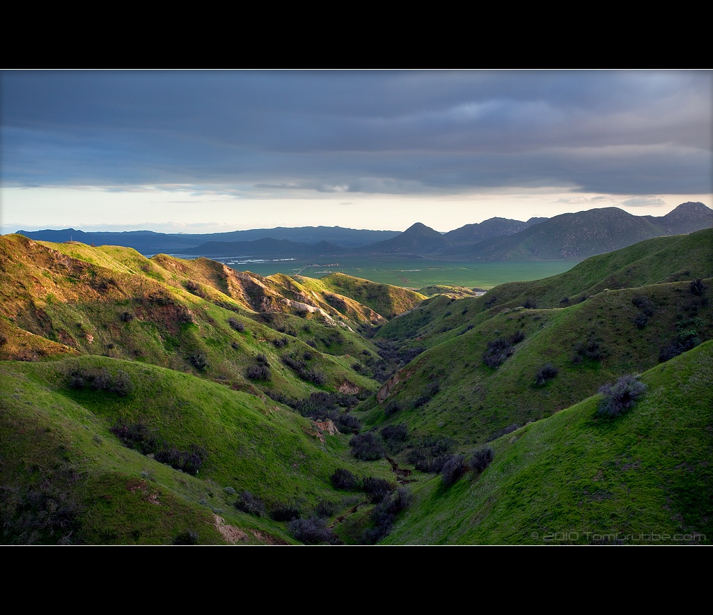
Spring Valley

Lockheed SR-71A Blackbird Cockpit @ The March Field Air Museum

A Typical Photo Walk Day

Day 160
My backyard view!

So wonderfully, wonderfully pretty

morning view
3D B-47

B-17 in 3D

Remove Before Flight
3D Mig at March

Tony LeVier Monument

Phantom Passenger

Summer Splendor
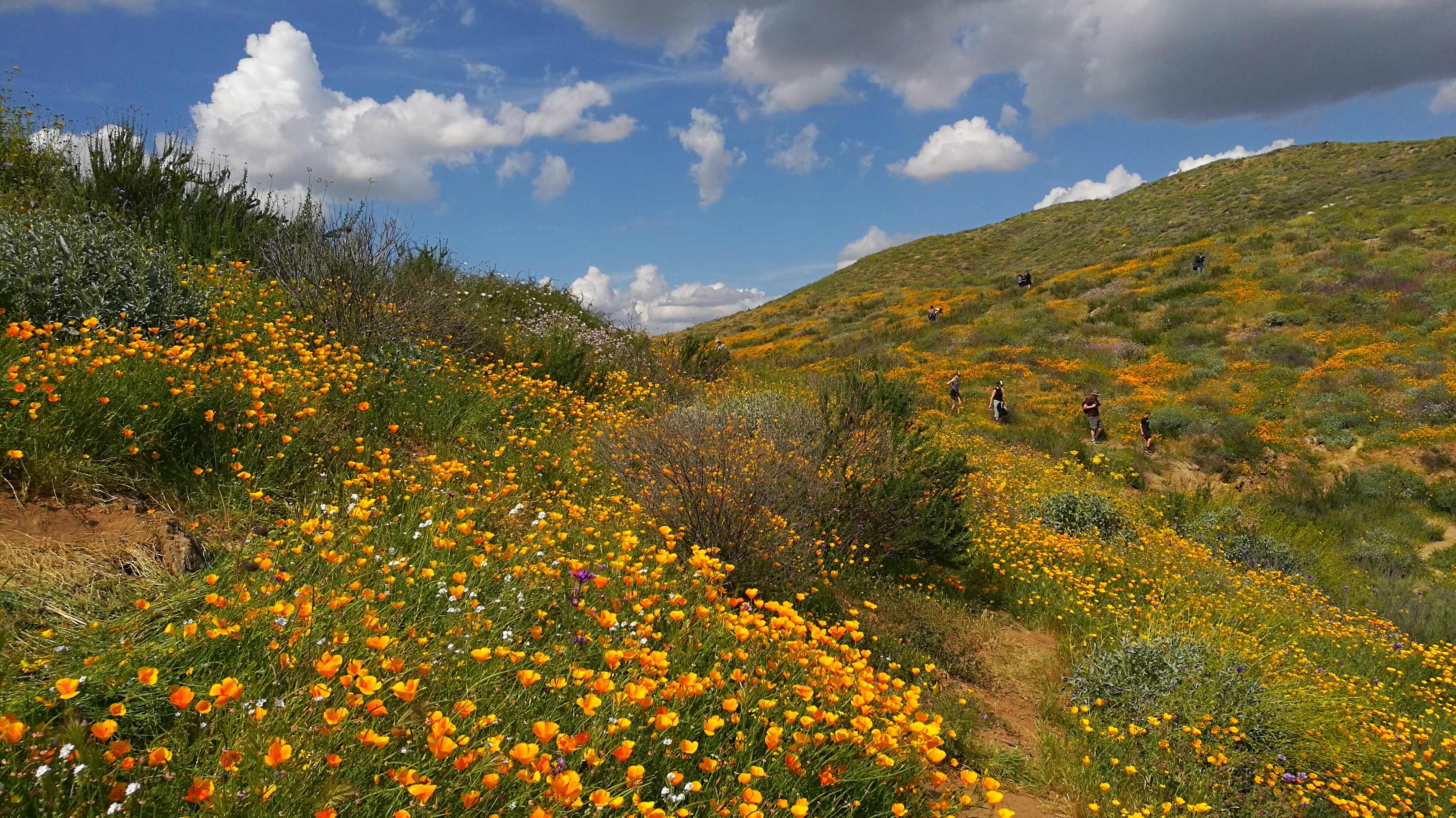
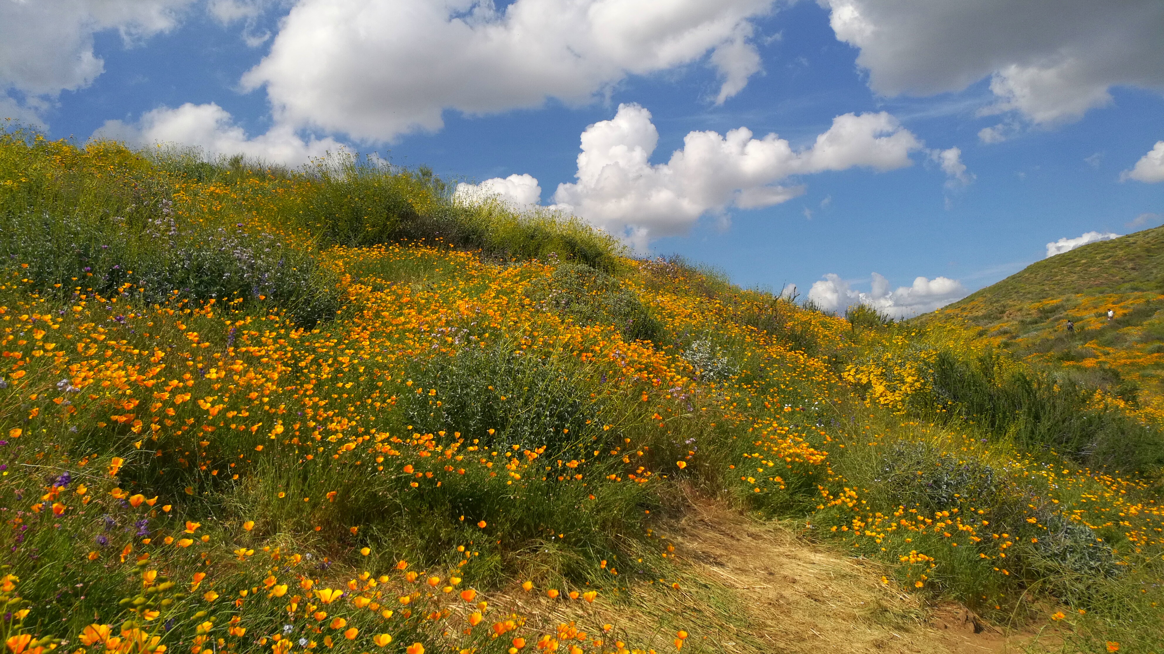
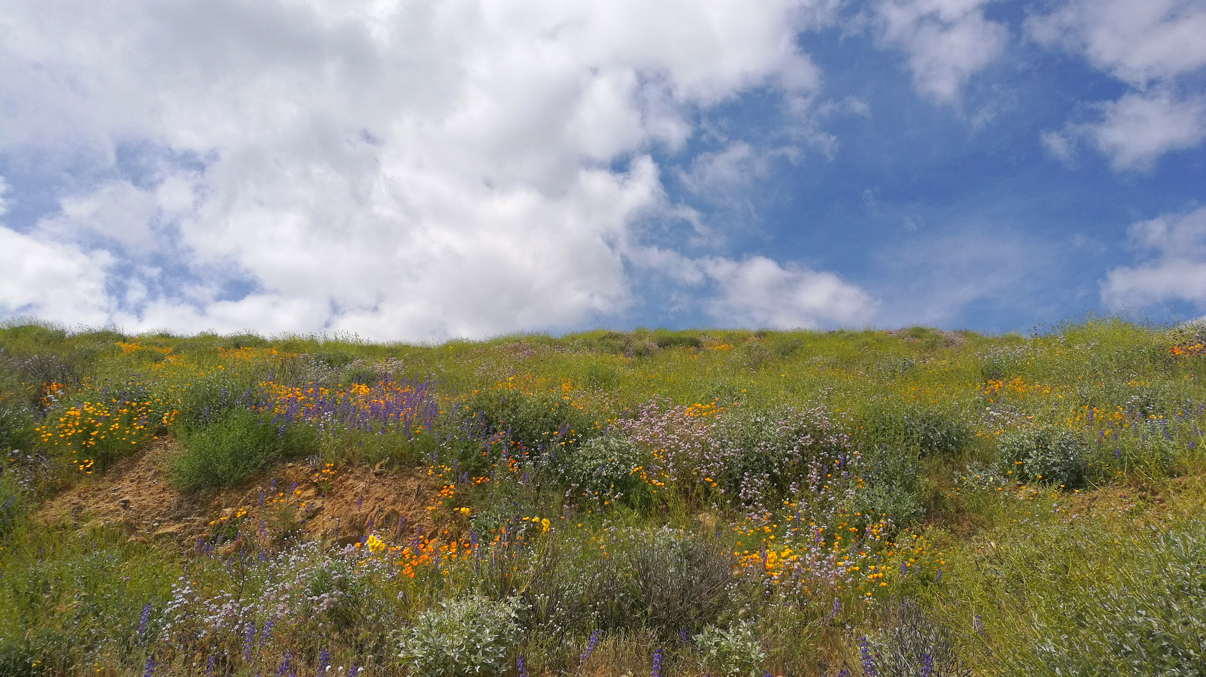
Wildflowers Diamond Valley Lake

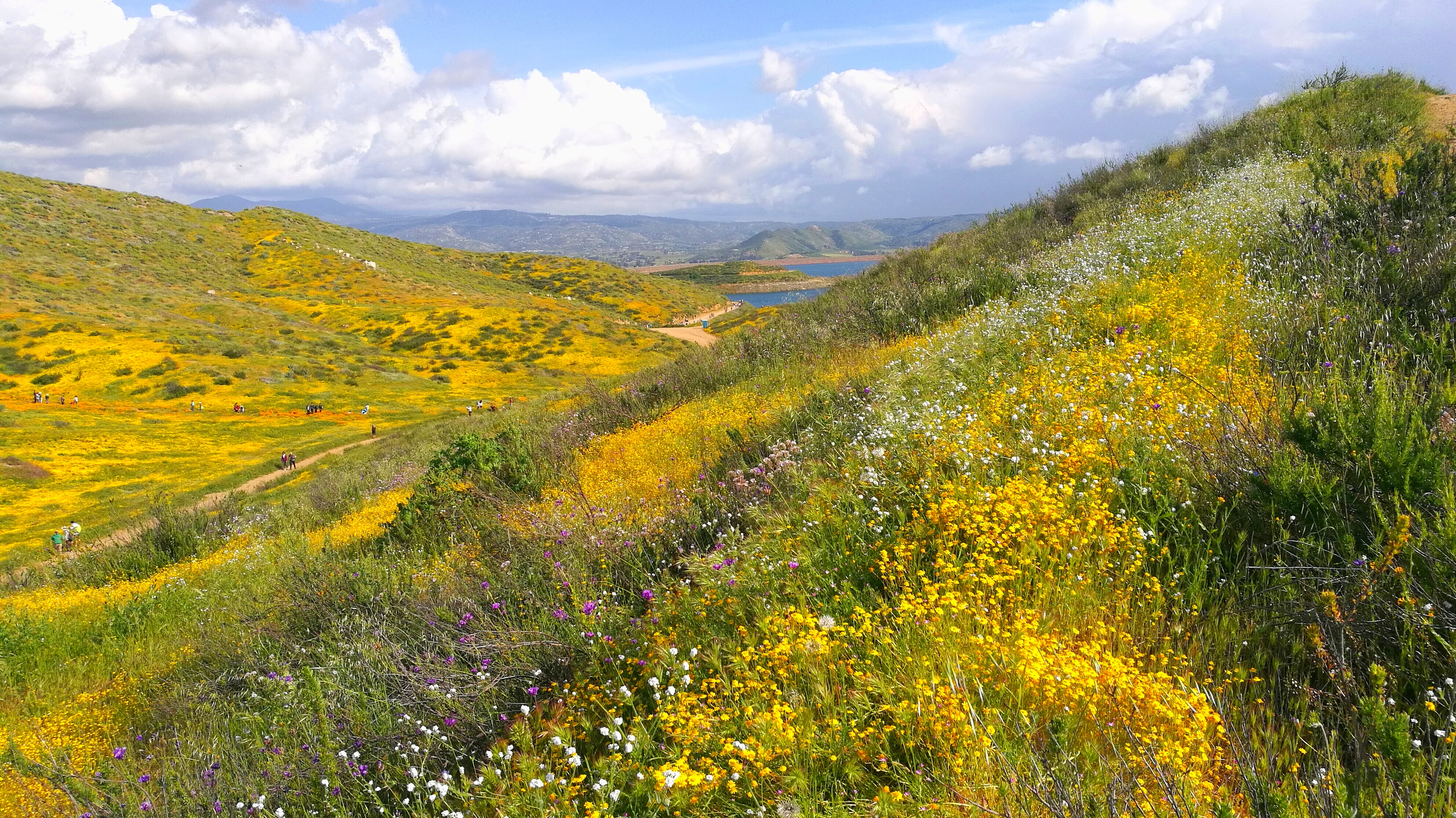
Hills from Jack Rabbit Trail
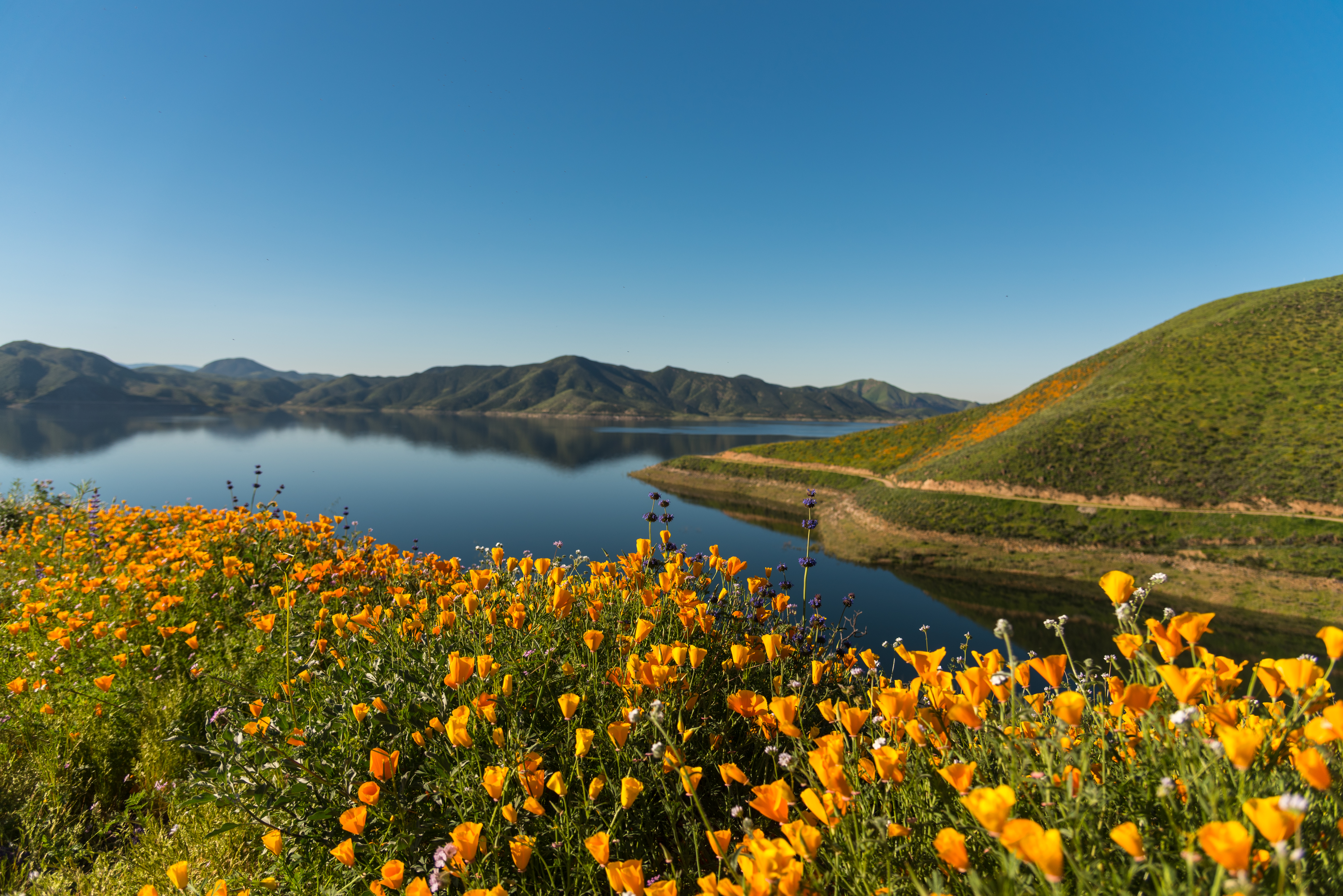
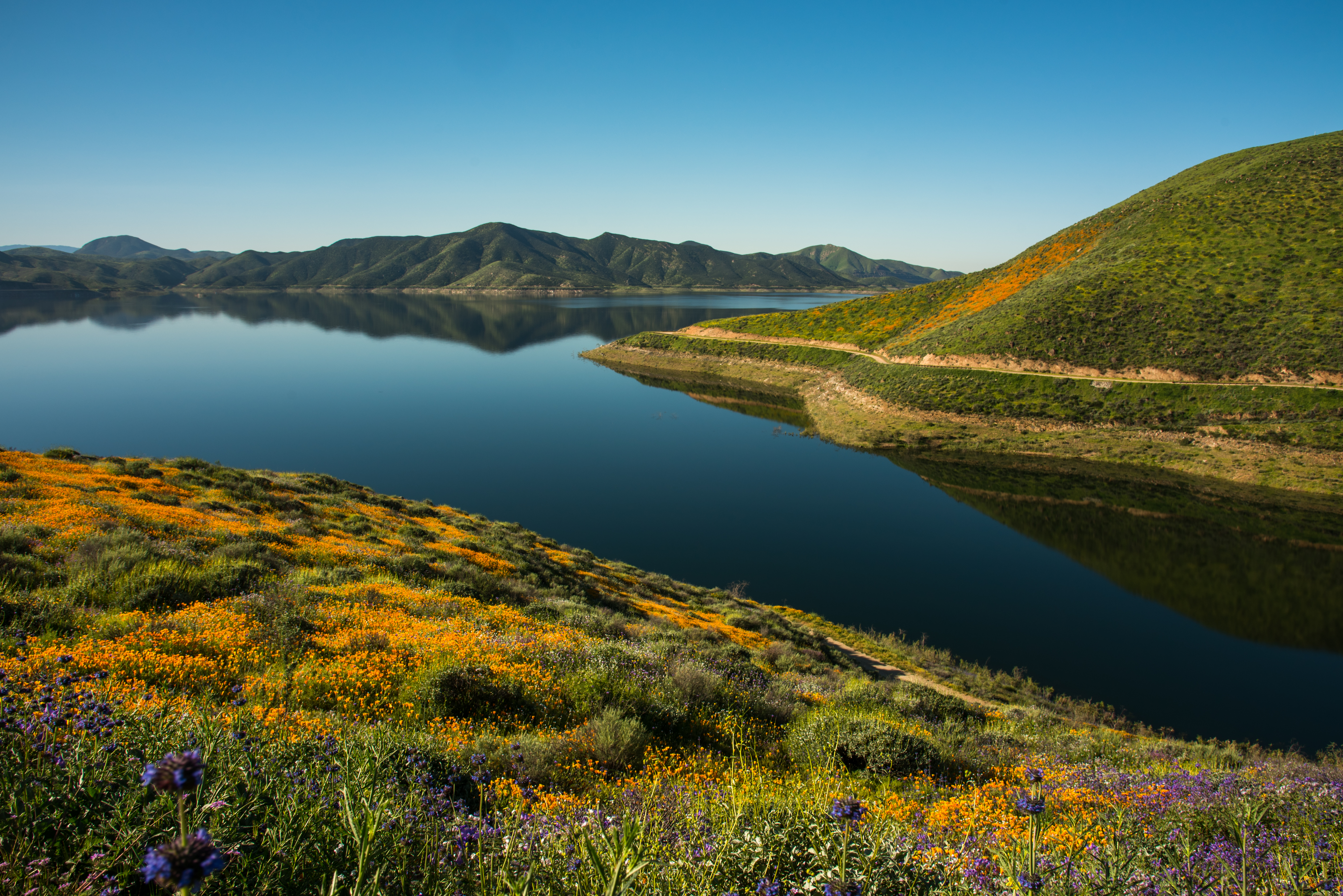
Diamond Valley Lake, Hemet CA
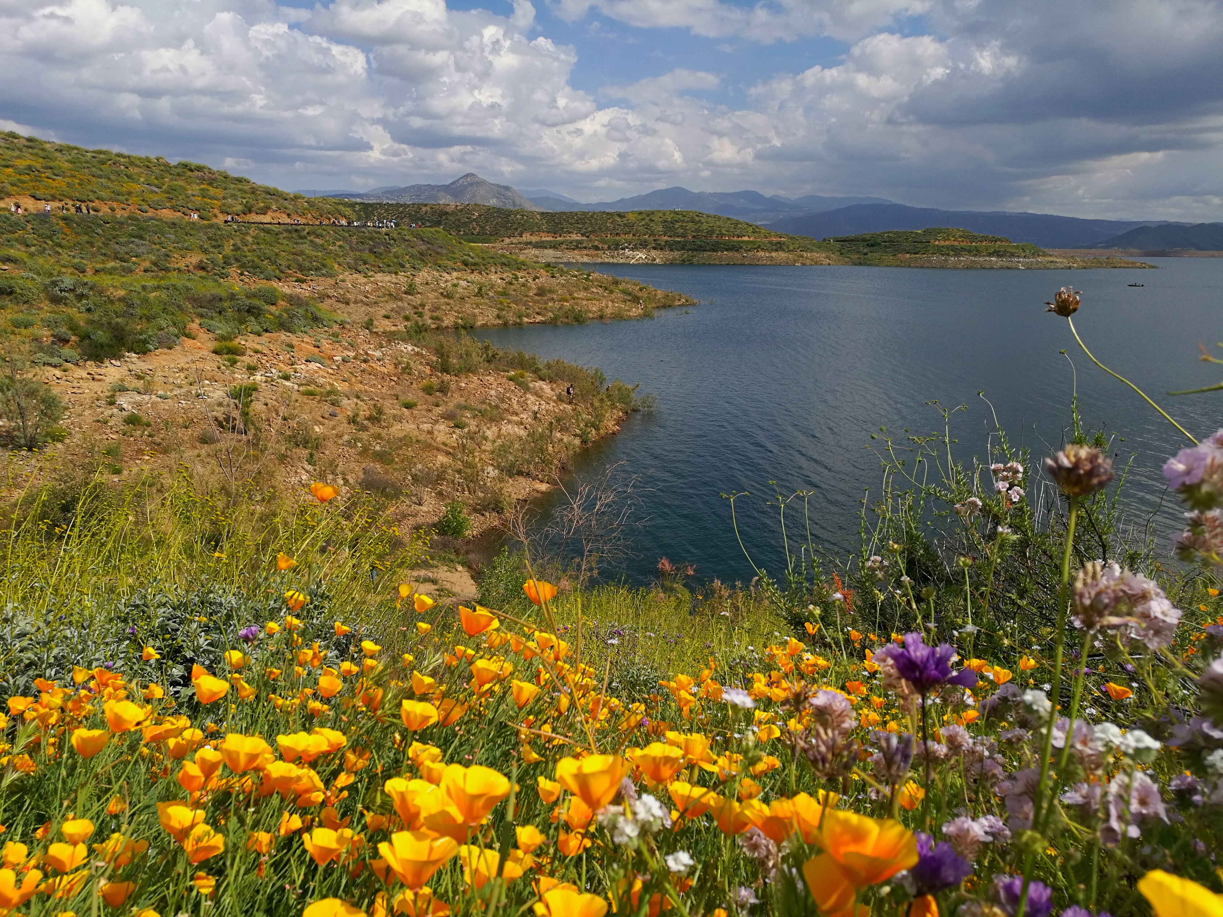
Diamond Valley Lake, Hemet CA
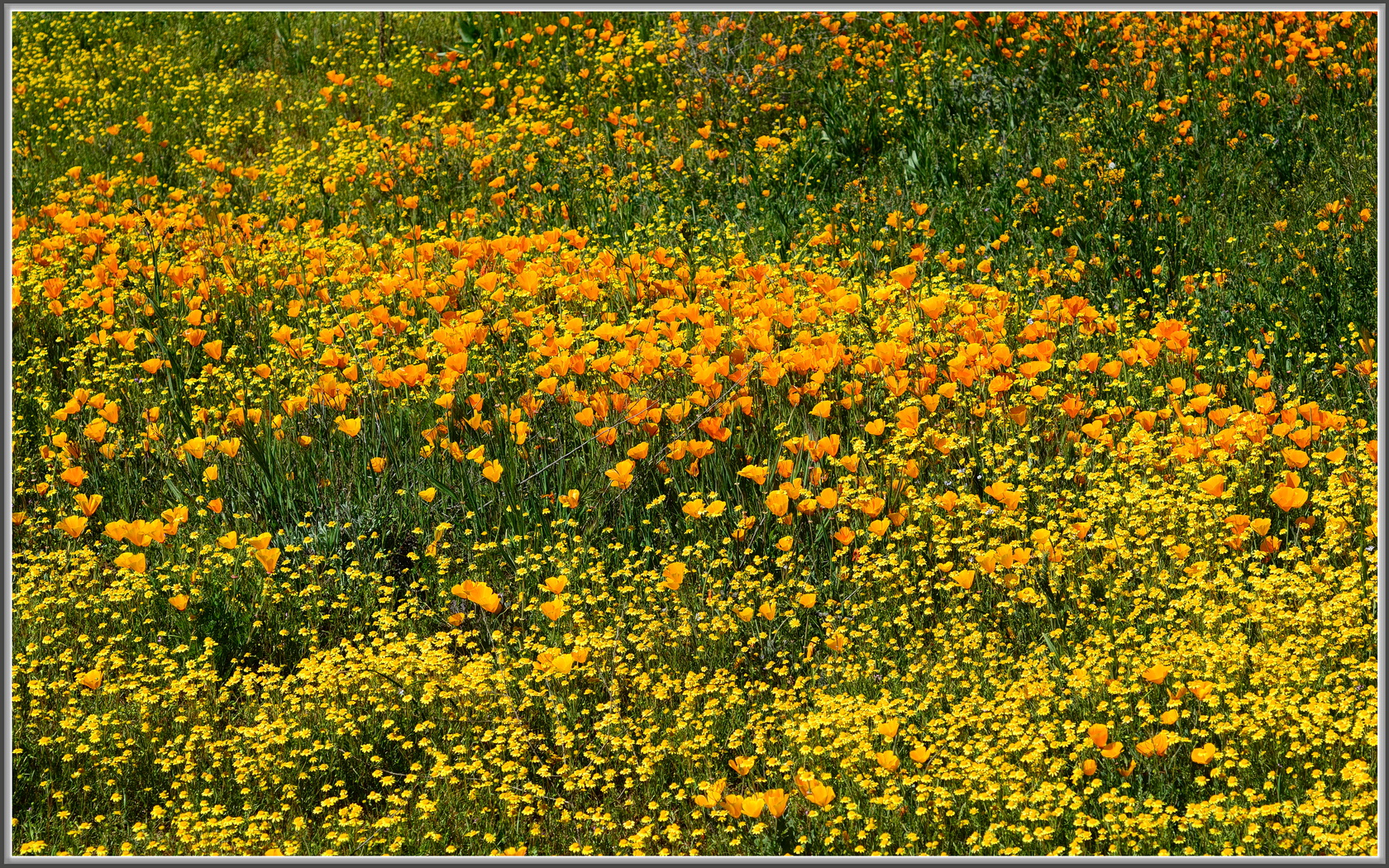
Poppy Madness
Diamond Valley Lake Wildflowers
Diamond Valley Lake, Hemet CA
Diamond Valley Lake, Hemet CA
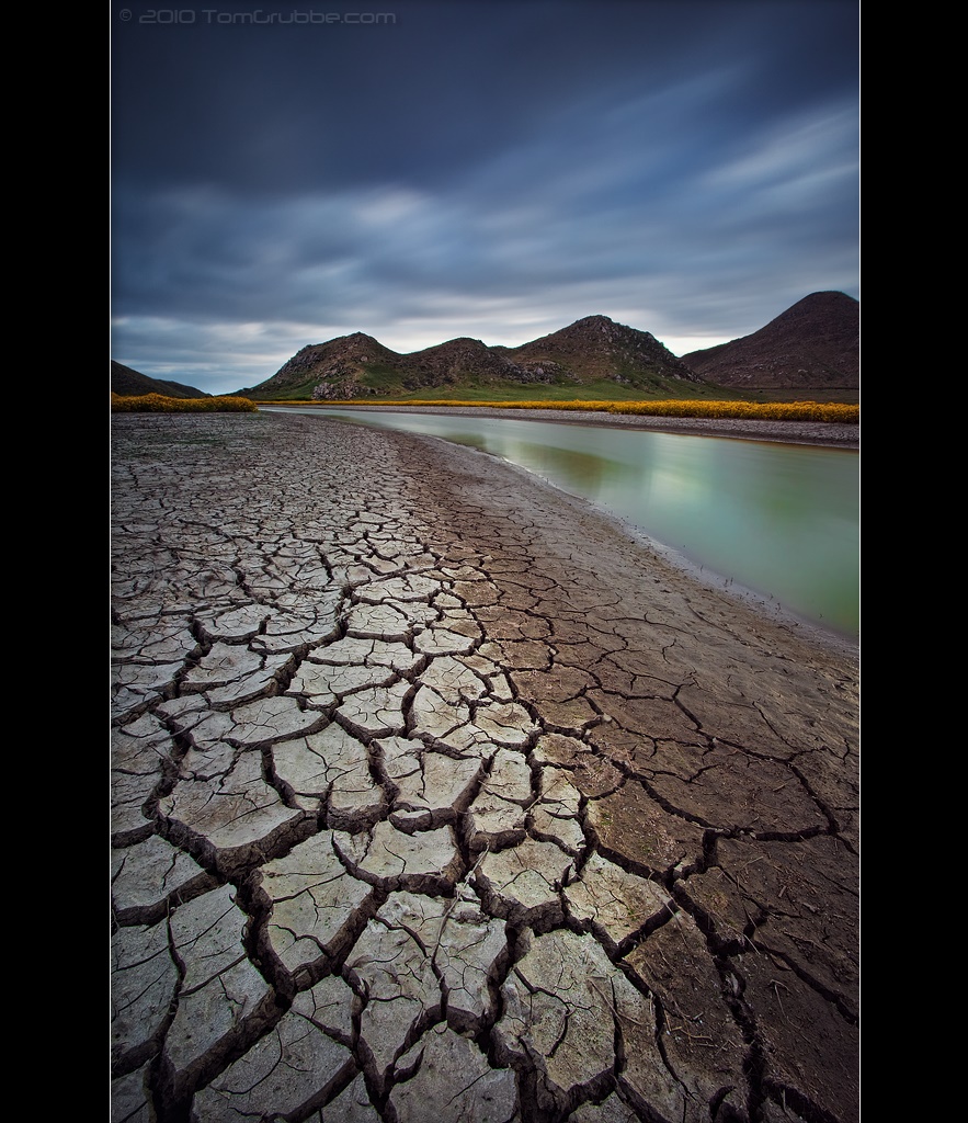
Stream Through Time II
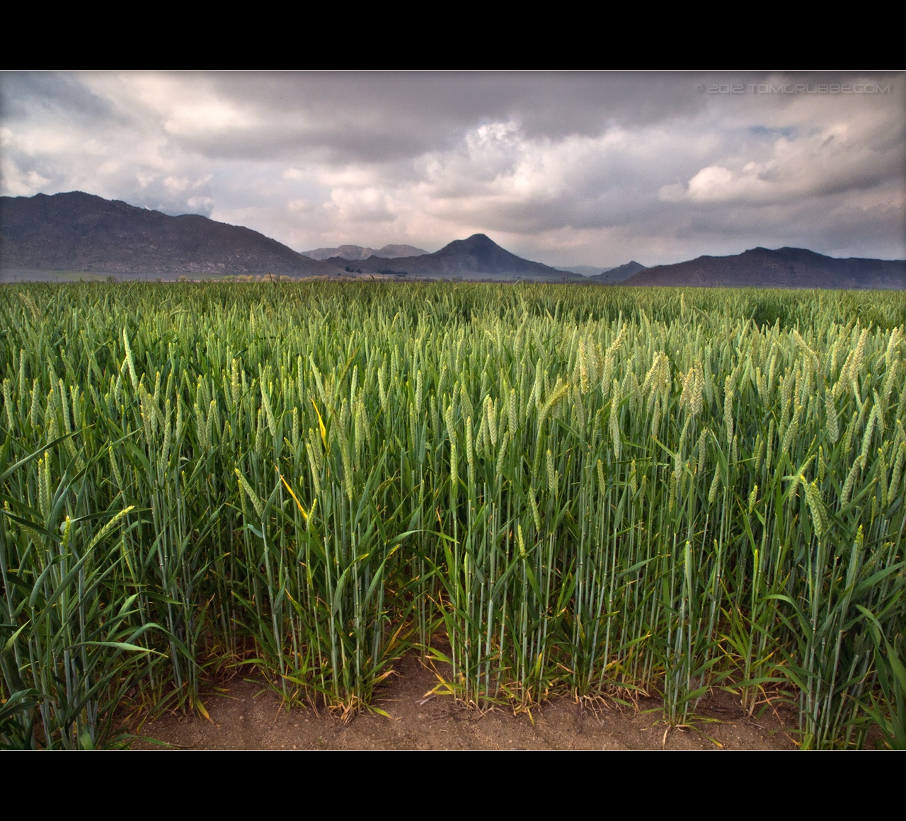
Spring Crop

Tree and Field

Fire under a Full Moon II
Diamond Valley Lake, Hemet CA

Power Lines at 70 MPH
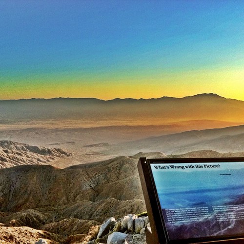
#california #iphoneonly #iphoneography #iphone4 #Joshuatree #nationalpark #HDR

California Road Trip 2017 with Sam

Yellow Hills...

Menifee Lakes Golf Course
Topographic Map of Contour Ave, Nuevo, CA, USA
Find elevation by address:

Places near Contour Ave, Nuevo, CA, USA:
22061 Passage Rd
Polley Street
21715 Rhea Ln
33020 Lakeview Ave
Lakeview Ave, Nuevo, CA, USA
Nuevo
Reservoir Ave, Lakeview, CA, USA
Lakeview
22489 Ramona Ave
33115 Stagecoach Rd
Martin St, Lakeview, CA, USA
21715 Robin Rd
24150 Juniper Flats Rd
24400 Minton Rd
25124 Avenida Valencia
Juniper Springs Rd, Homeland, CA, USA
Perris Reservoir
1288 Abbey Pines Dr
Granite View Dr, Perris, CA, USA
E Ellis Ave, Perris, CA, USA
Recent Searches:
- Elevation of Corso Fratelli Cairoli, 35, Macerata MC, Italy
- Elevation of Tallevast Rd, Sarasota, FL, USA
- Elevation of 4th St E, Sonoma, CA, USA
- Elevation of Black Hollow Rd, Pennsdale, PA, USA
- Elevation of Oakland Ave, Williamsport, PA, USA
- Elevation of Pedrógão Grande, Portugal
- Elevation of Klee Dr, Martinsburg, WV, USA
- Elevation of Via Roma, Pieranica CR, Italy
- Elevation of Tavkvetili Mountain, Georgia
- Elevation of Hartfords Bluff Cir, Mt Pleasant, SC, USA